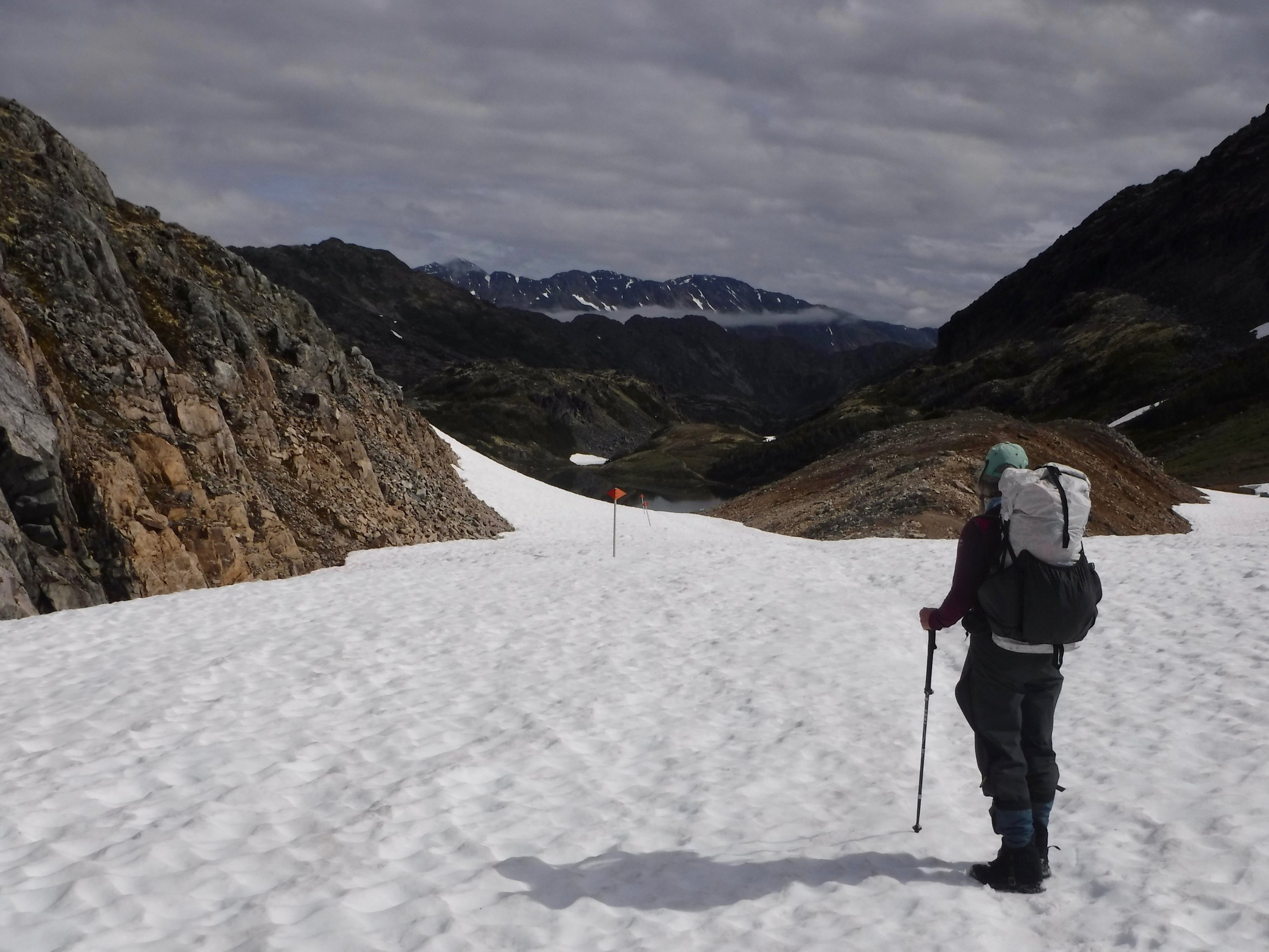
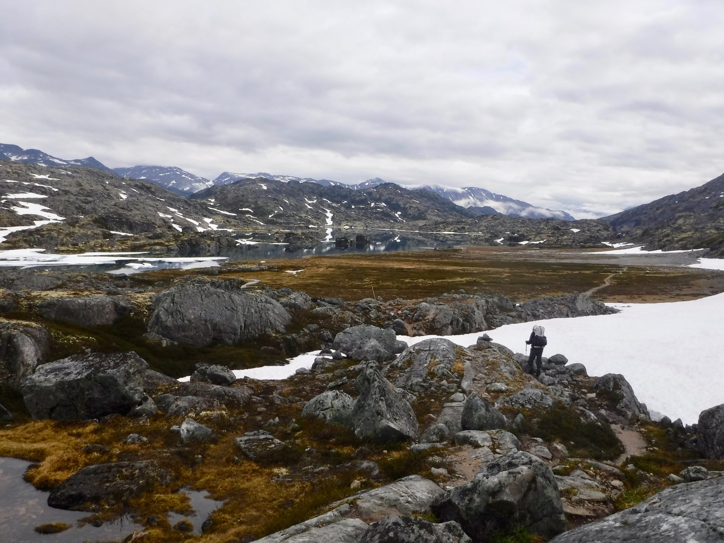
As we finished up our paddle on the Sea of Cortez, our thoughts began to turn northward. The summer of 2017 was slated to continue our journey of hiking the Chilkoot trail and then paddling the Yukon River to the Bering Sea. It had been two years since we saw our property in Alaska and we were excited to be heading home. First though we were fortunate enough to visit our son Jeff in Portland and we squeezed our 5 pieces of luggage in to his car.

Downtown Portland
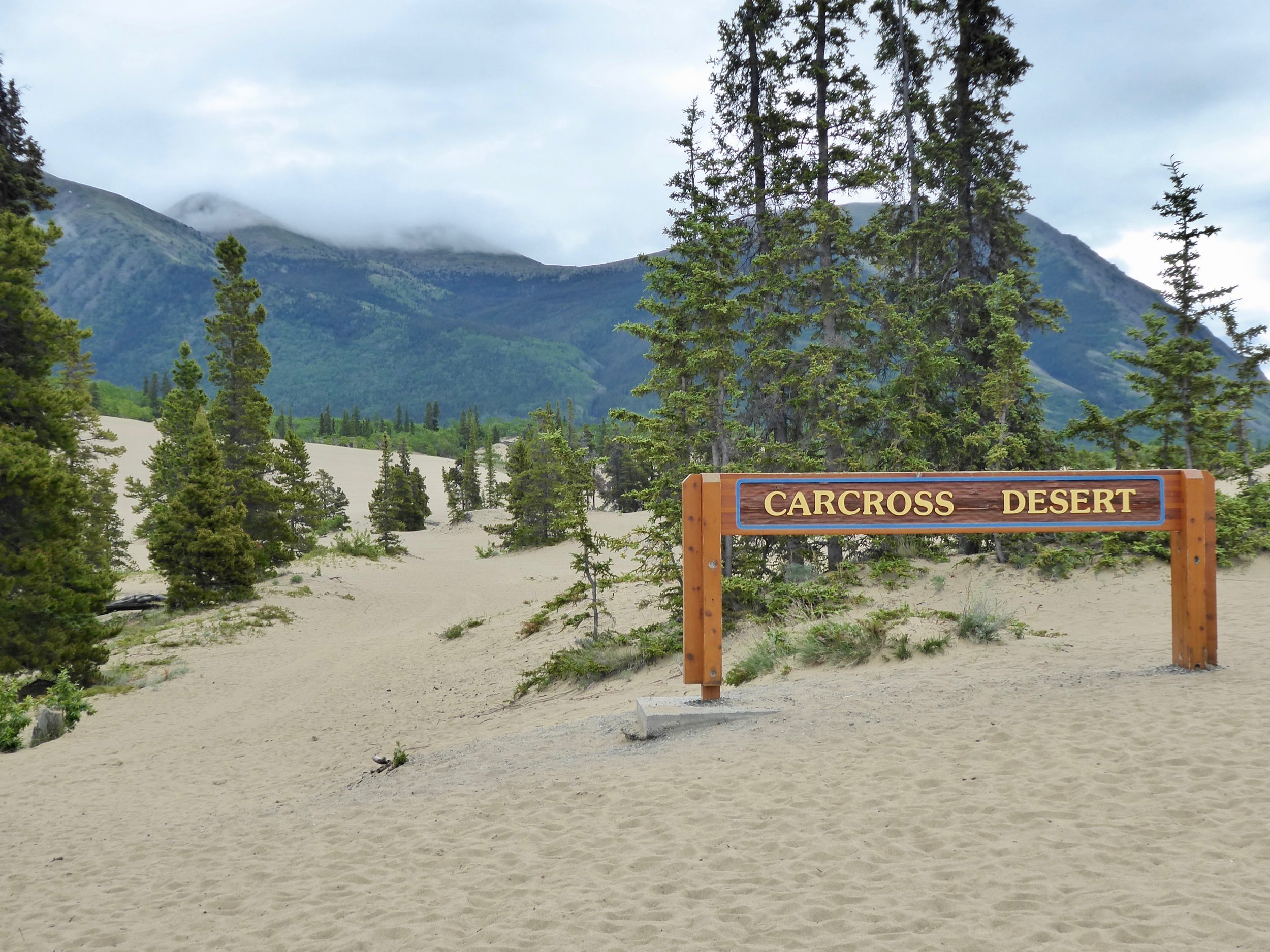
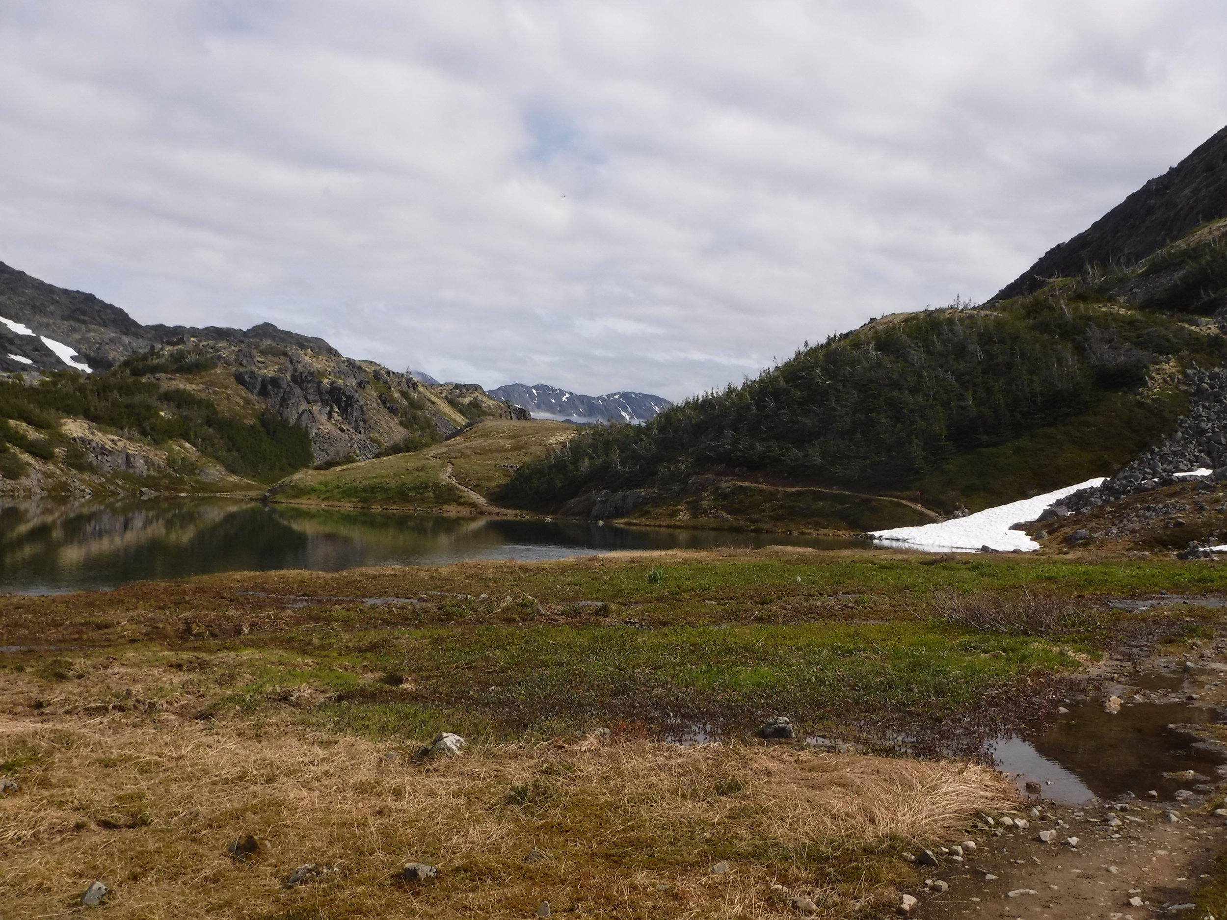
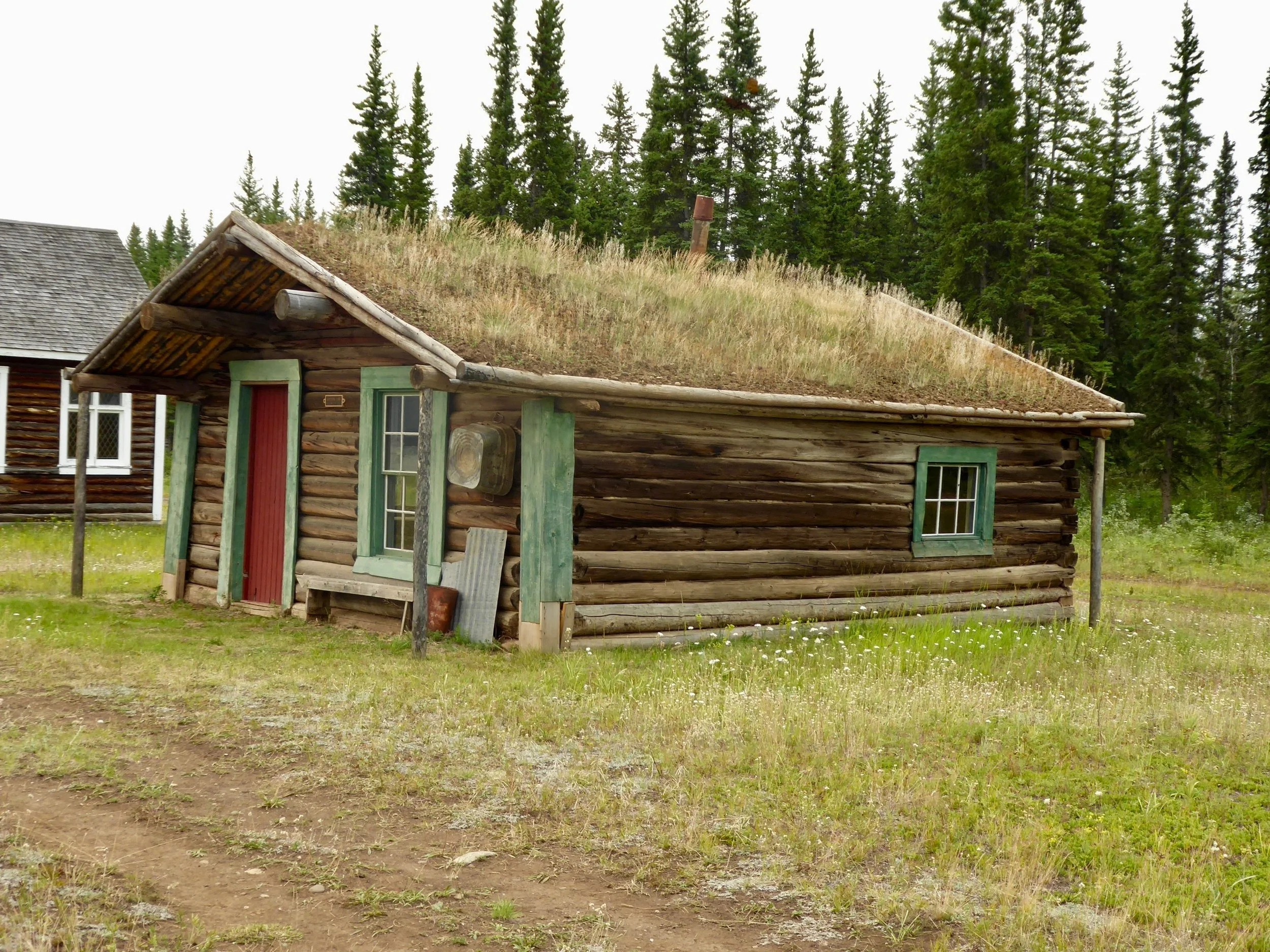
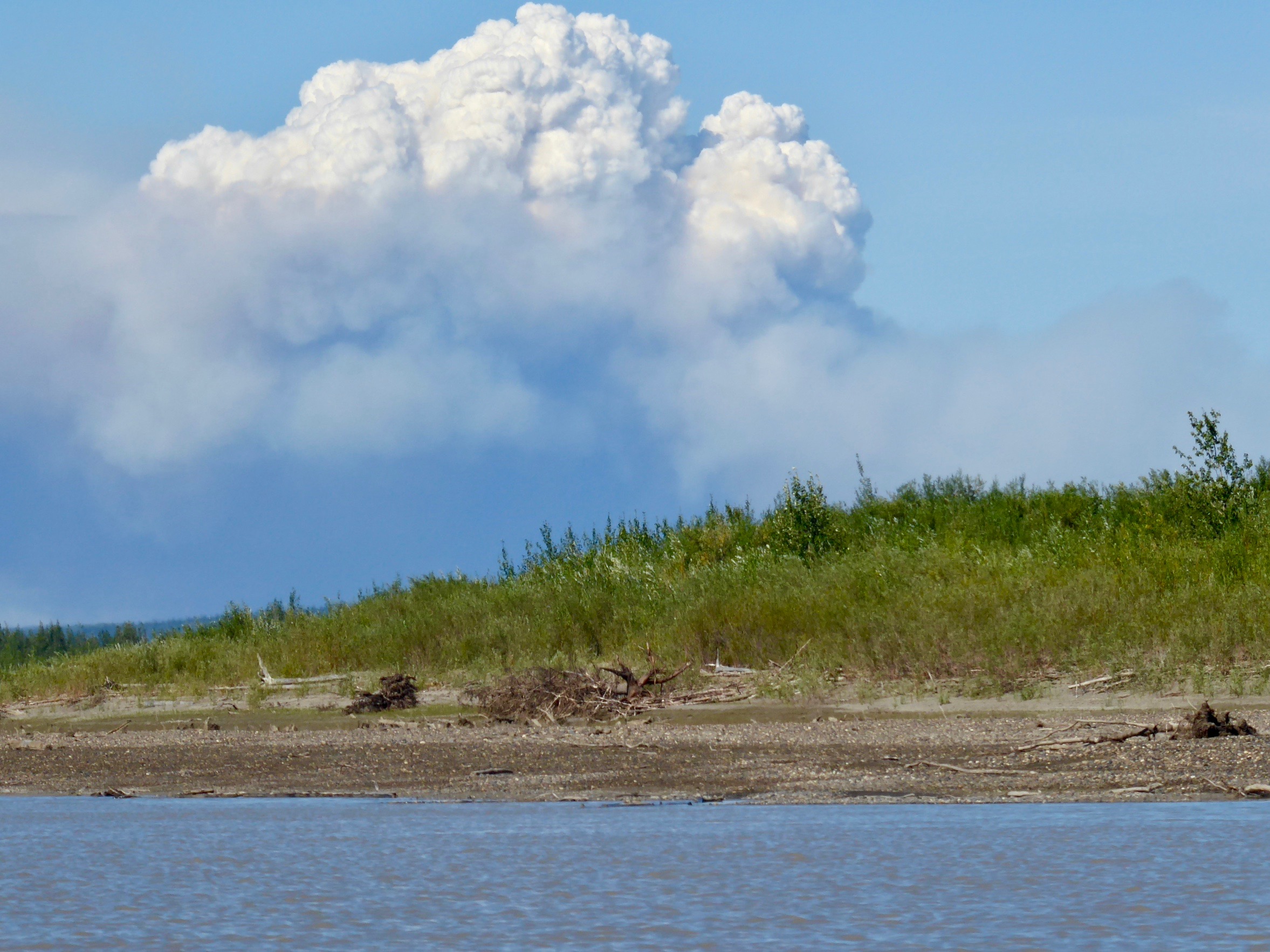
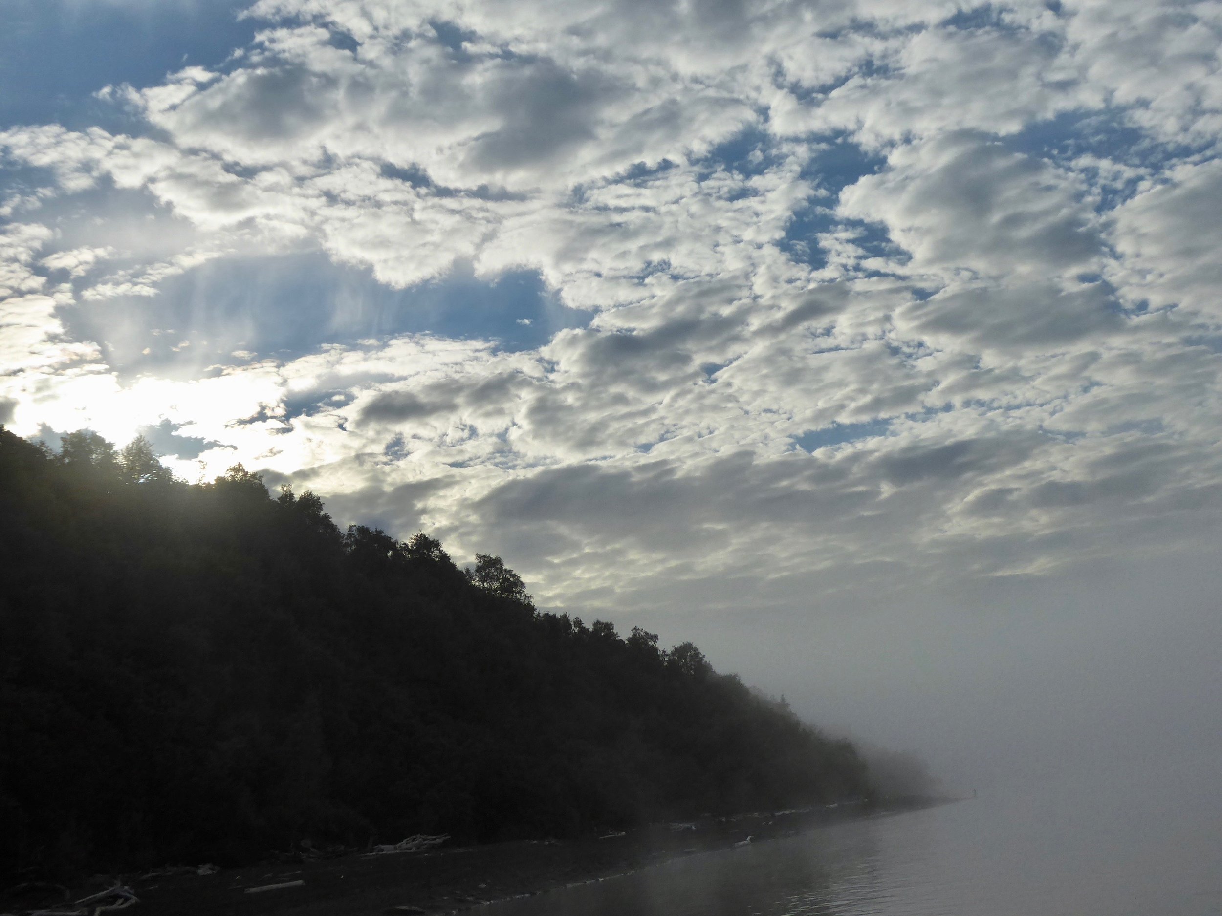
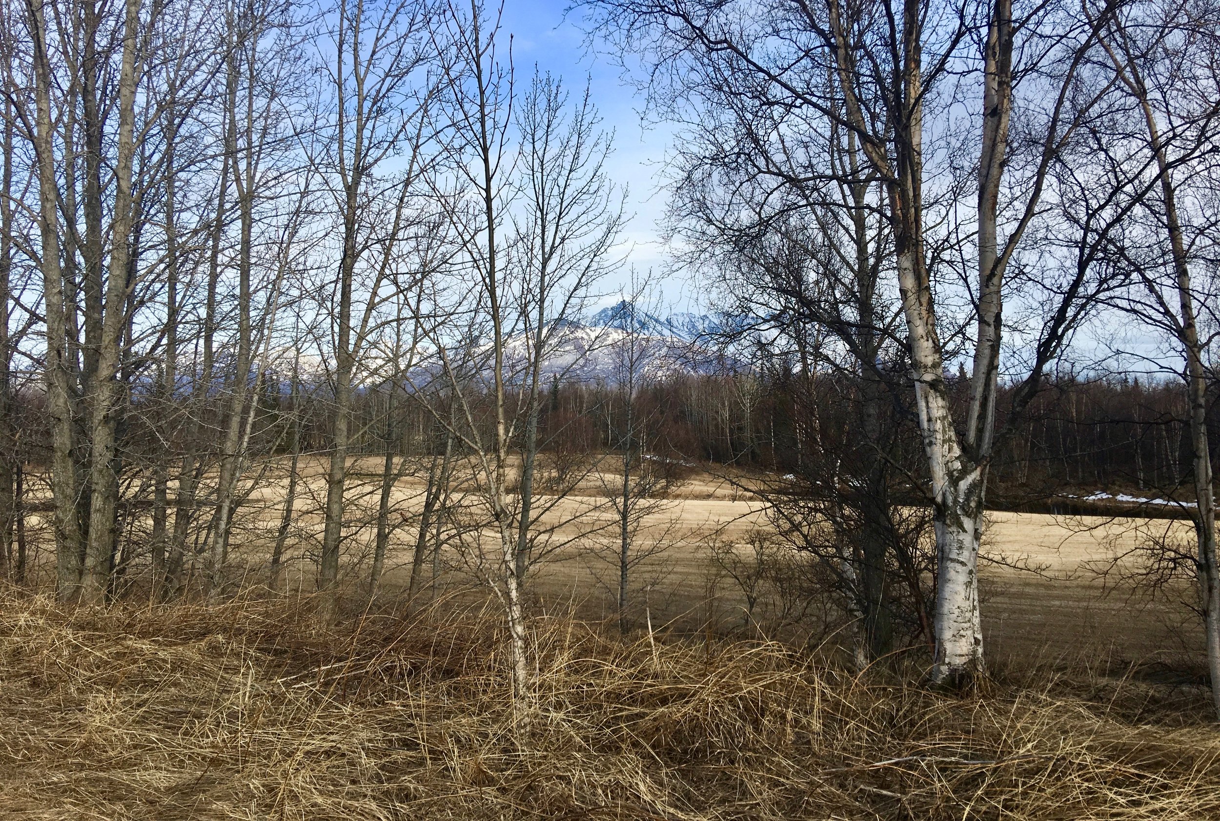
We arrived to Alaska on the 23rd of April. There was still snow on the fields and the leaves had not come out yet. The mountains are as beautiful as ever and it feels good to be back in Alaska.
Looking out from the Ford Camp

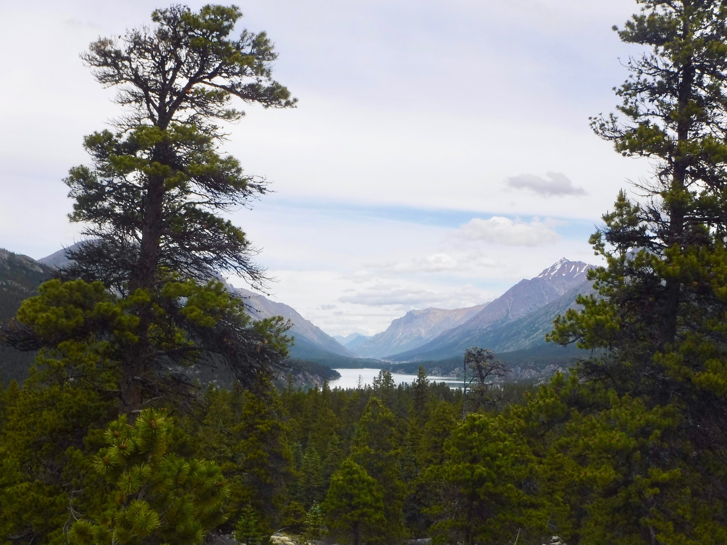
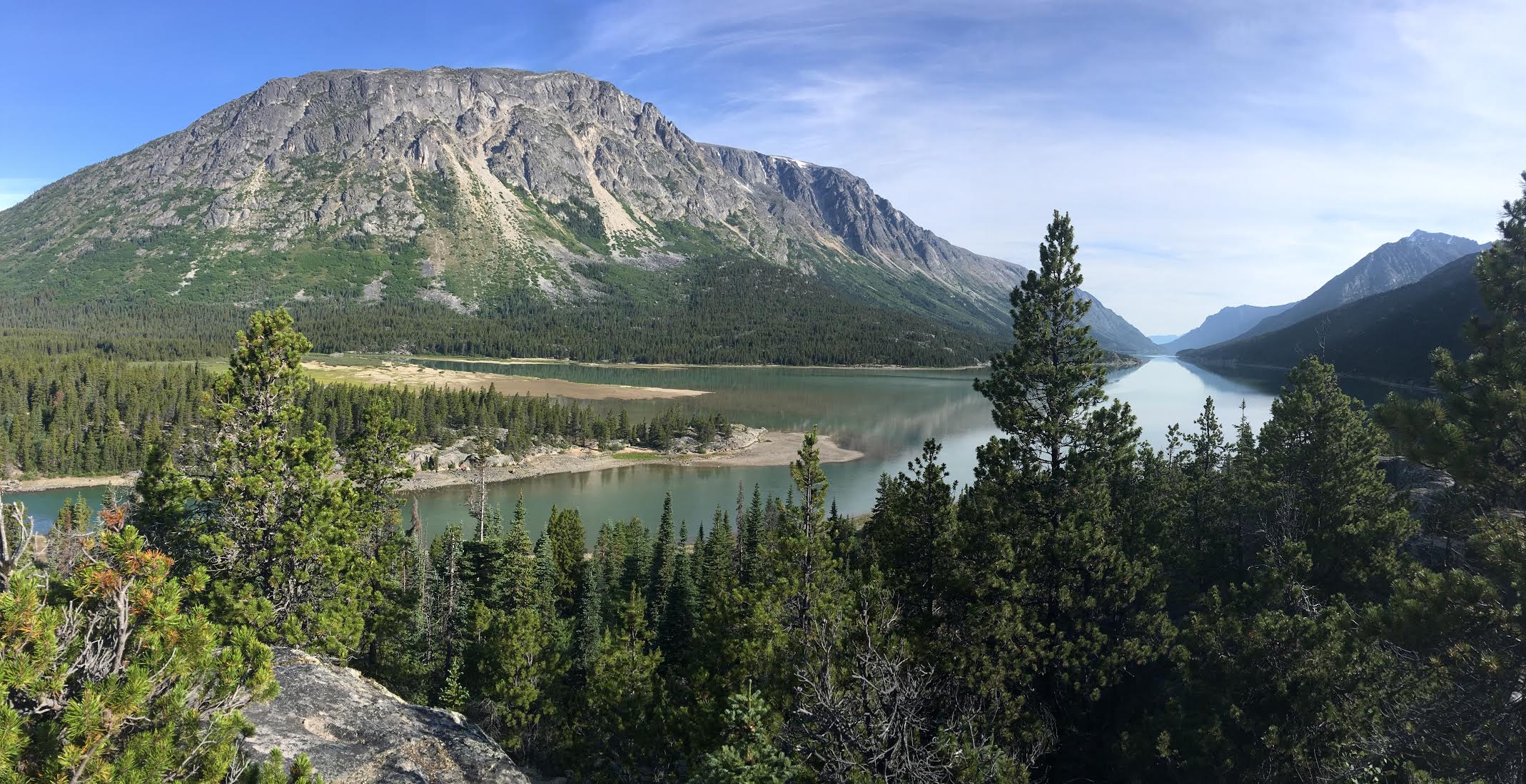
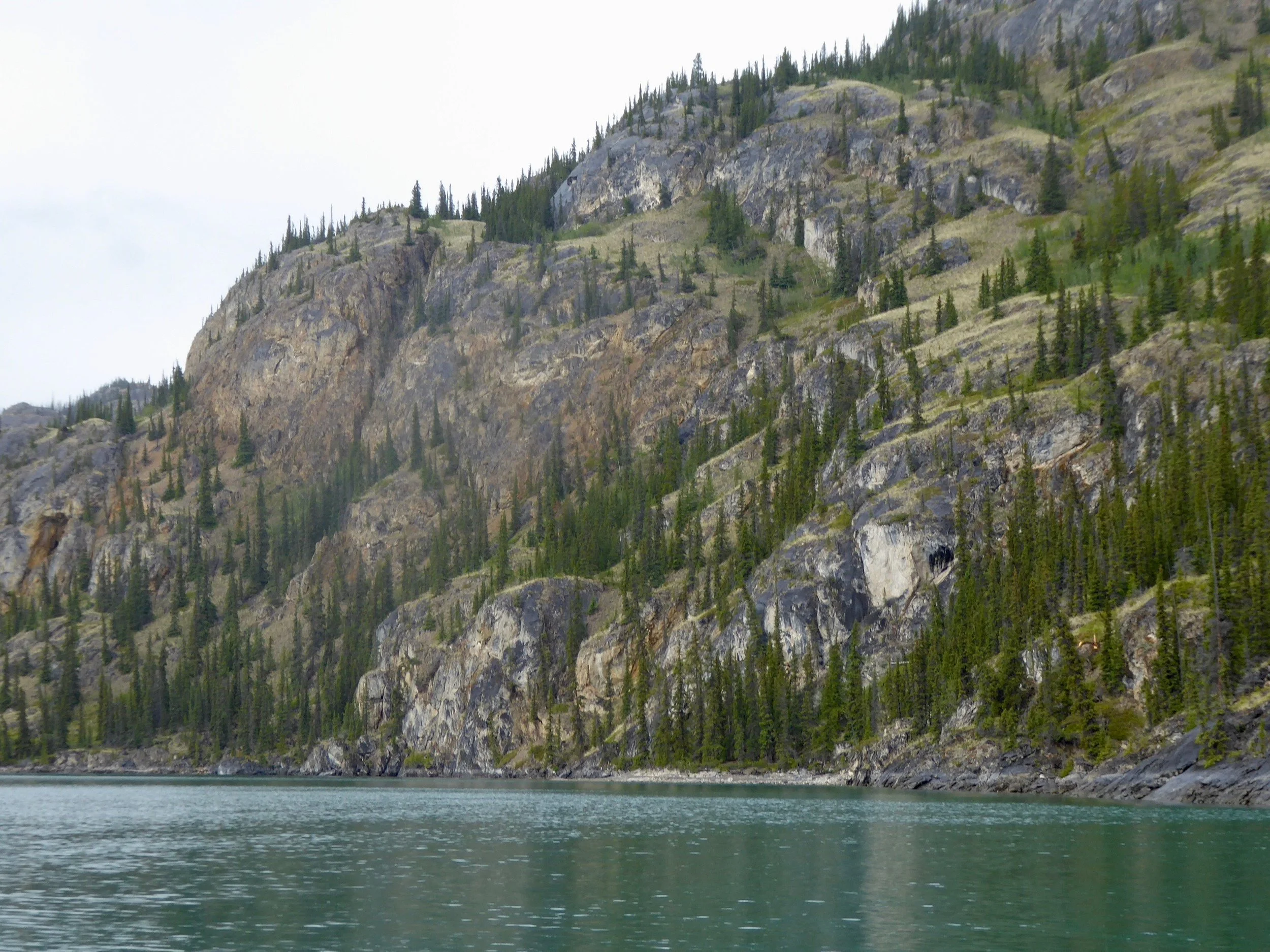
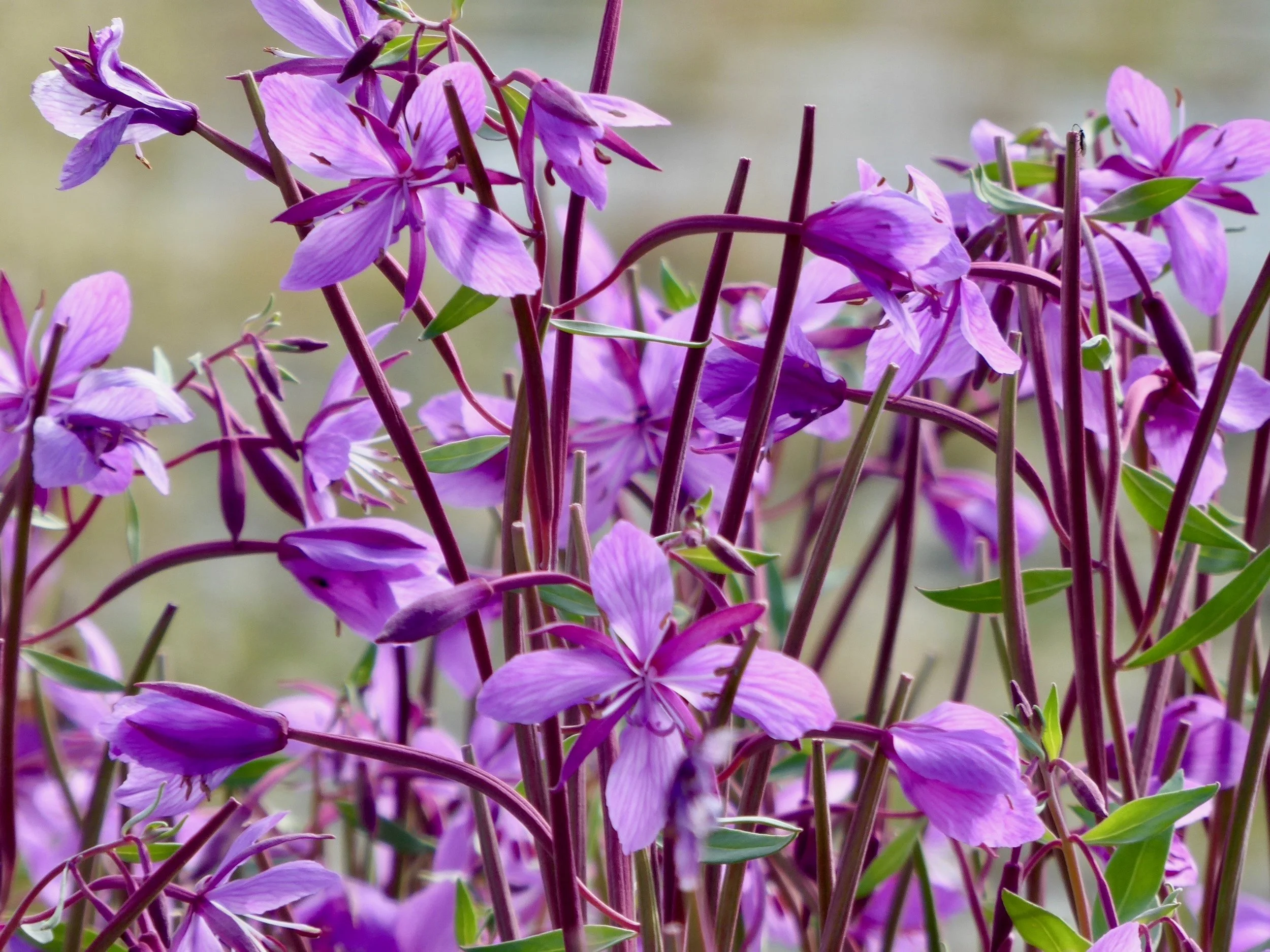
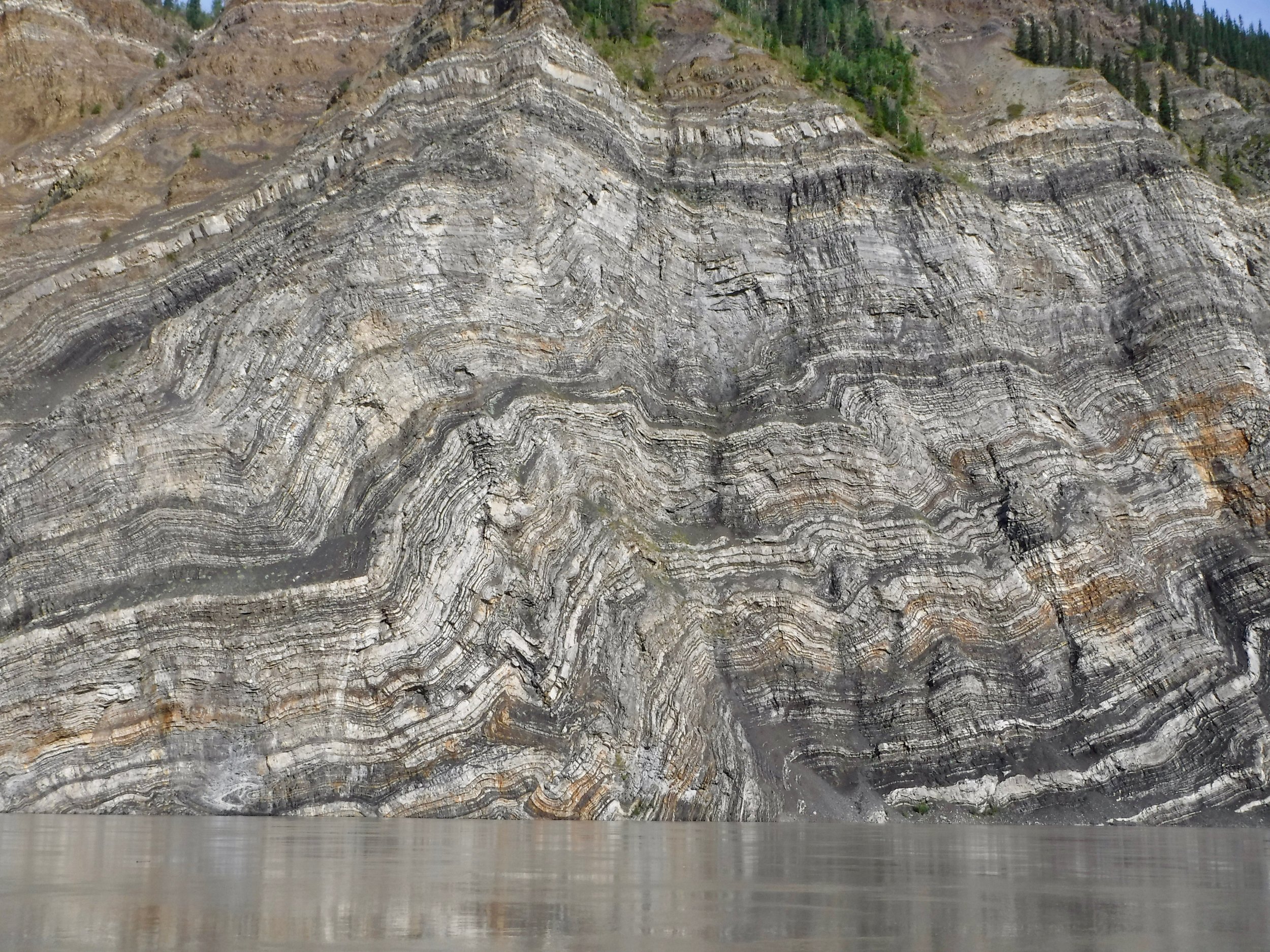
Alaska can take your breathe away!
We had planned a month of full on Yukon prep work along with getting ready to work a NOLS course. For a while it looked like there might be too much on our plate. It was a good thing that the days are getting longer. One of the big projects was getting the food ready. Playing it safe we estimated that we could be on the river for 70 days. From our reading about the river it was apparent that we should plan on taking most of our food with us. One could not depend on getting enough food at the smaller villages I cooked and dried most of our meals for the trip. Time consuming now, but would pay off later.


Lots of meal planning!
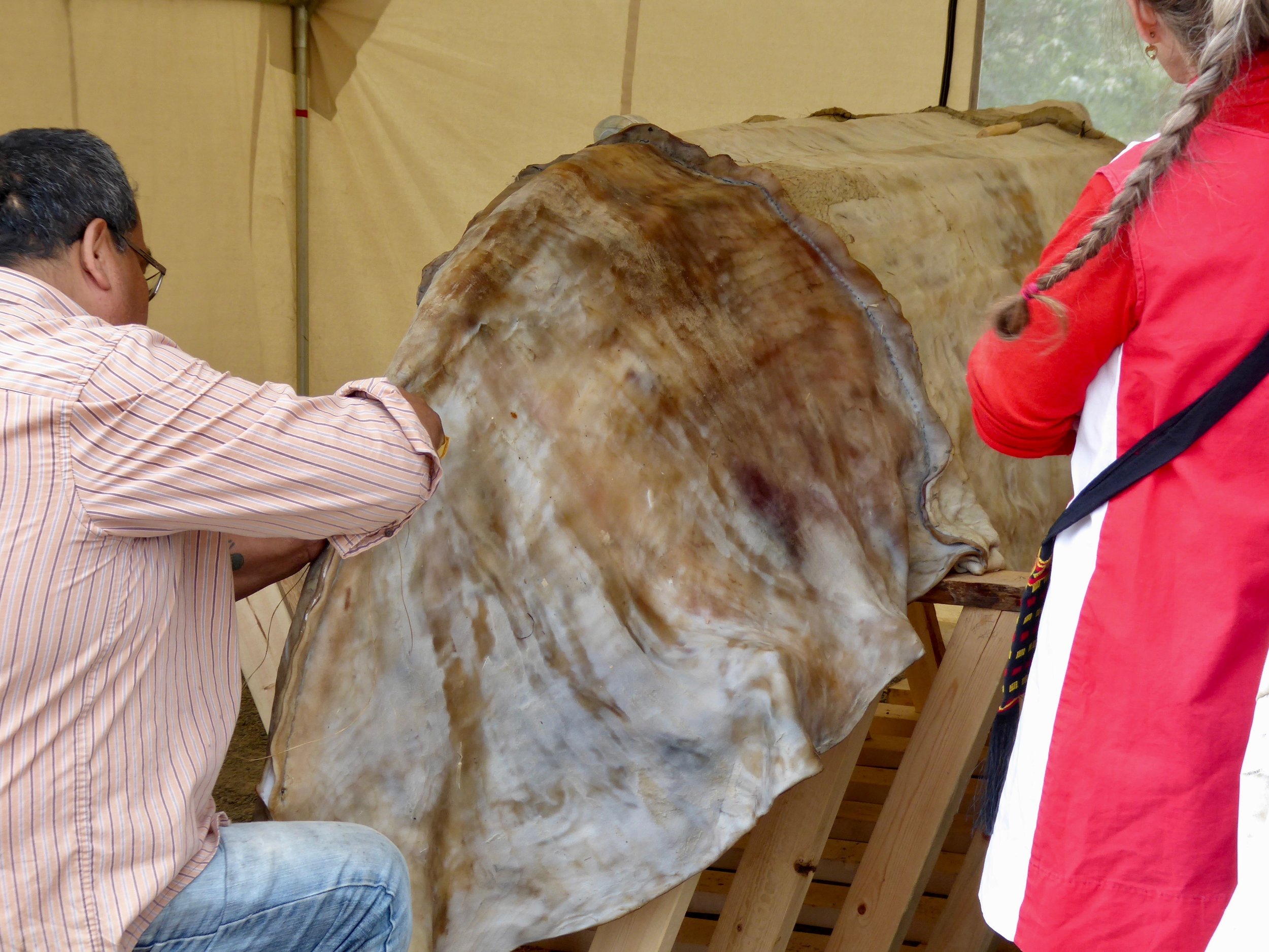
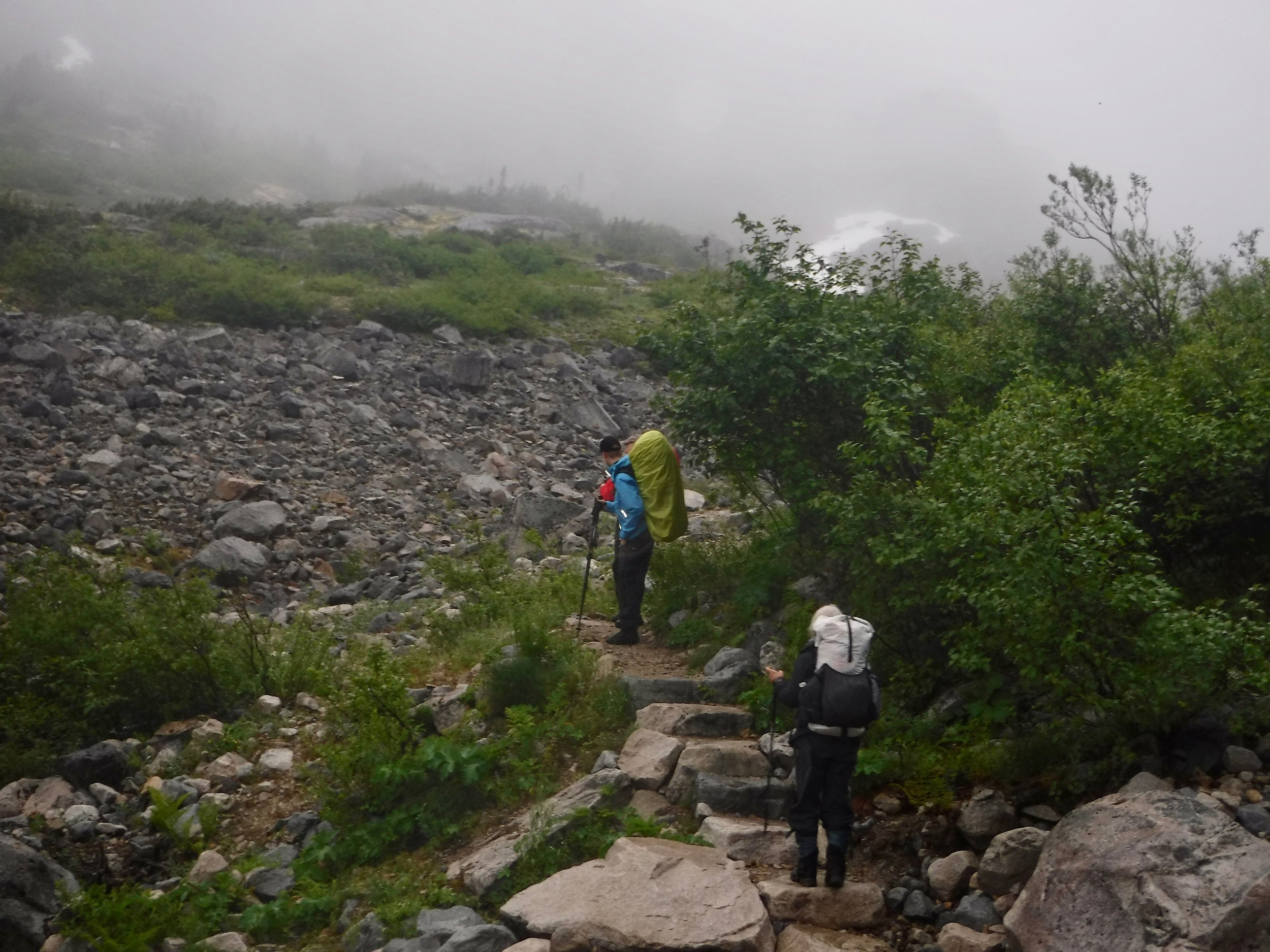
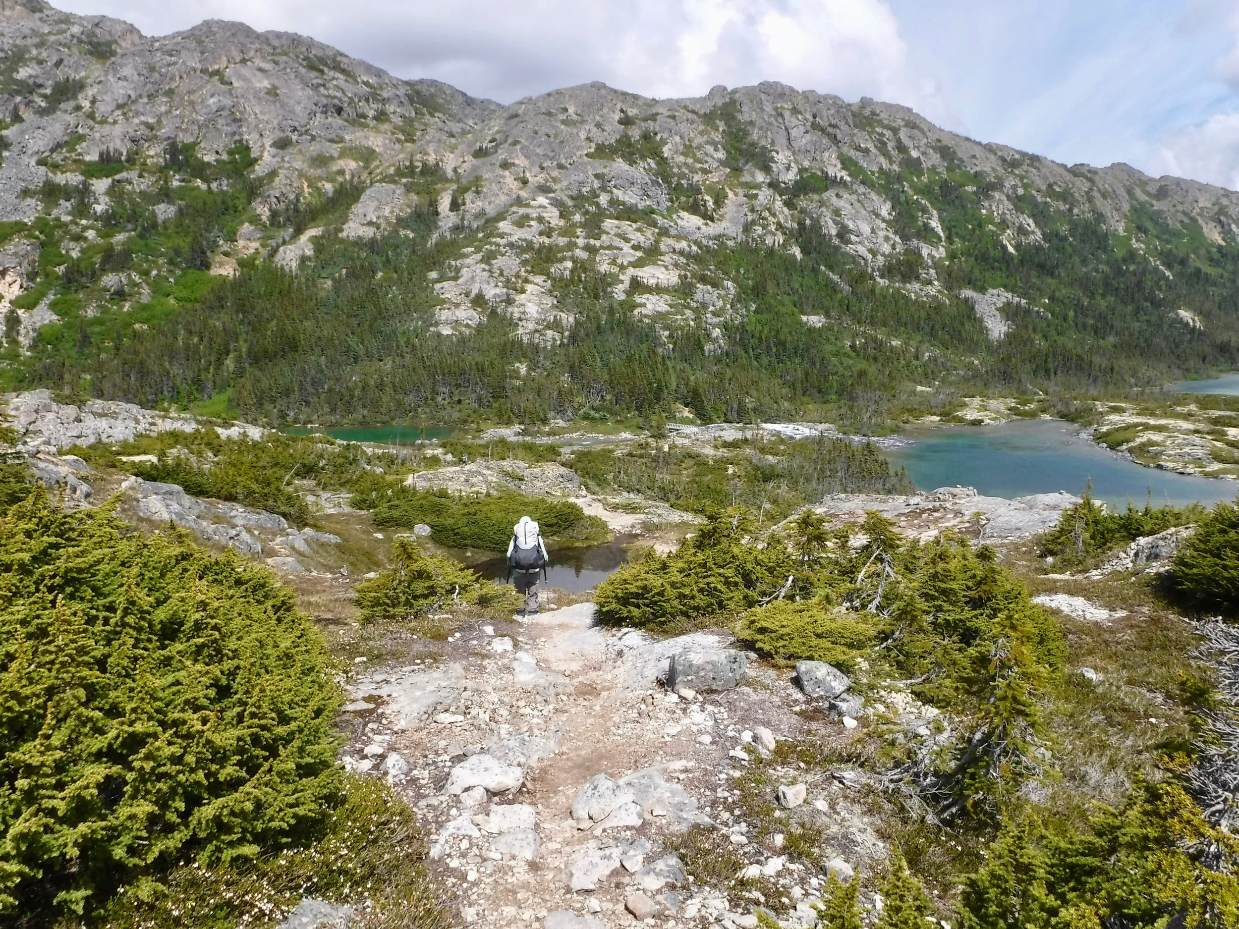
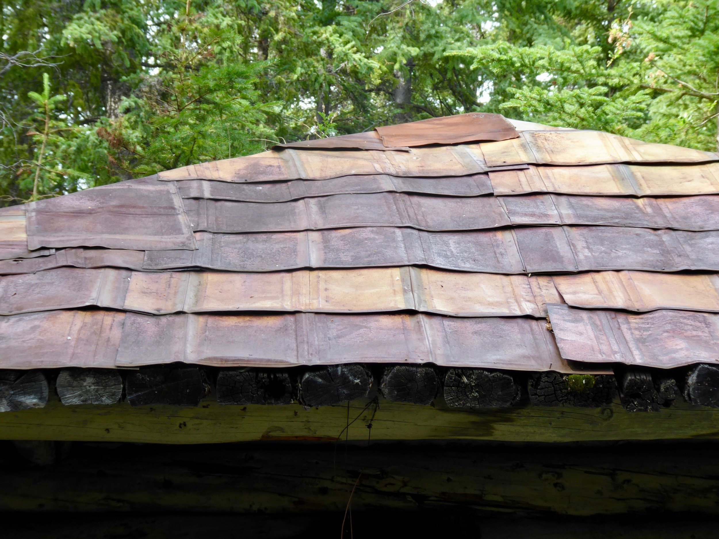
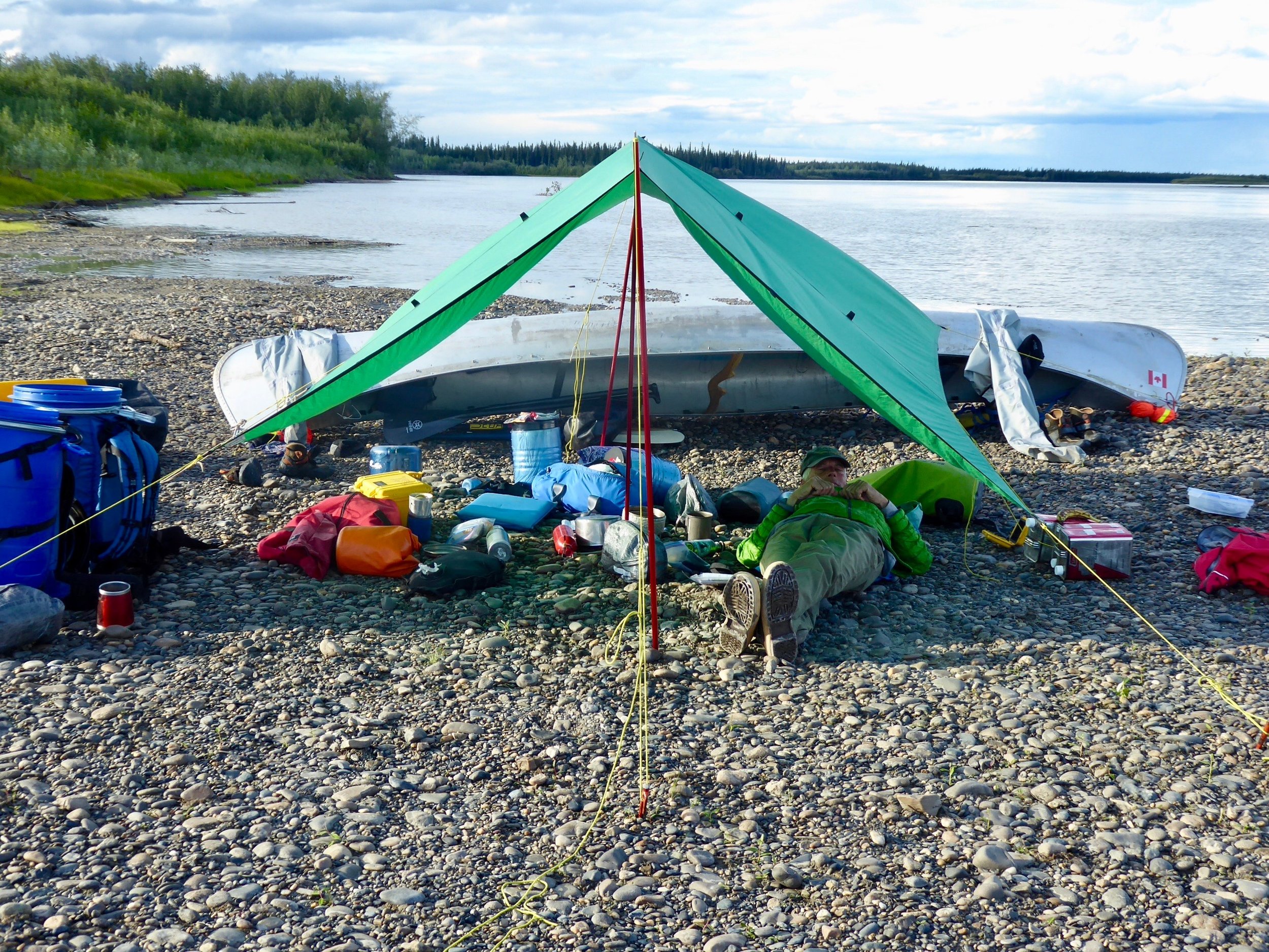
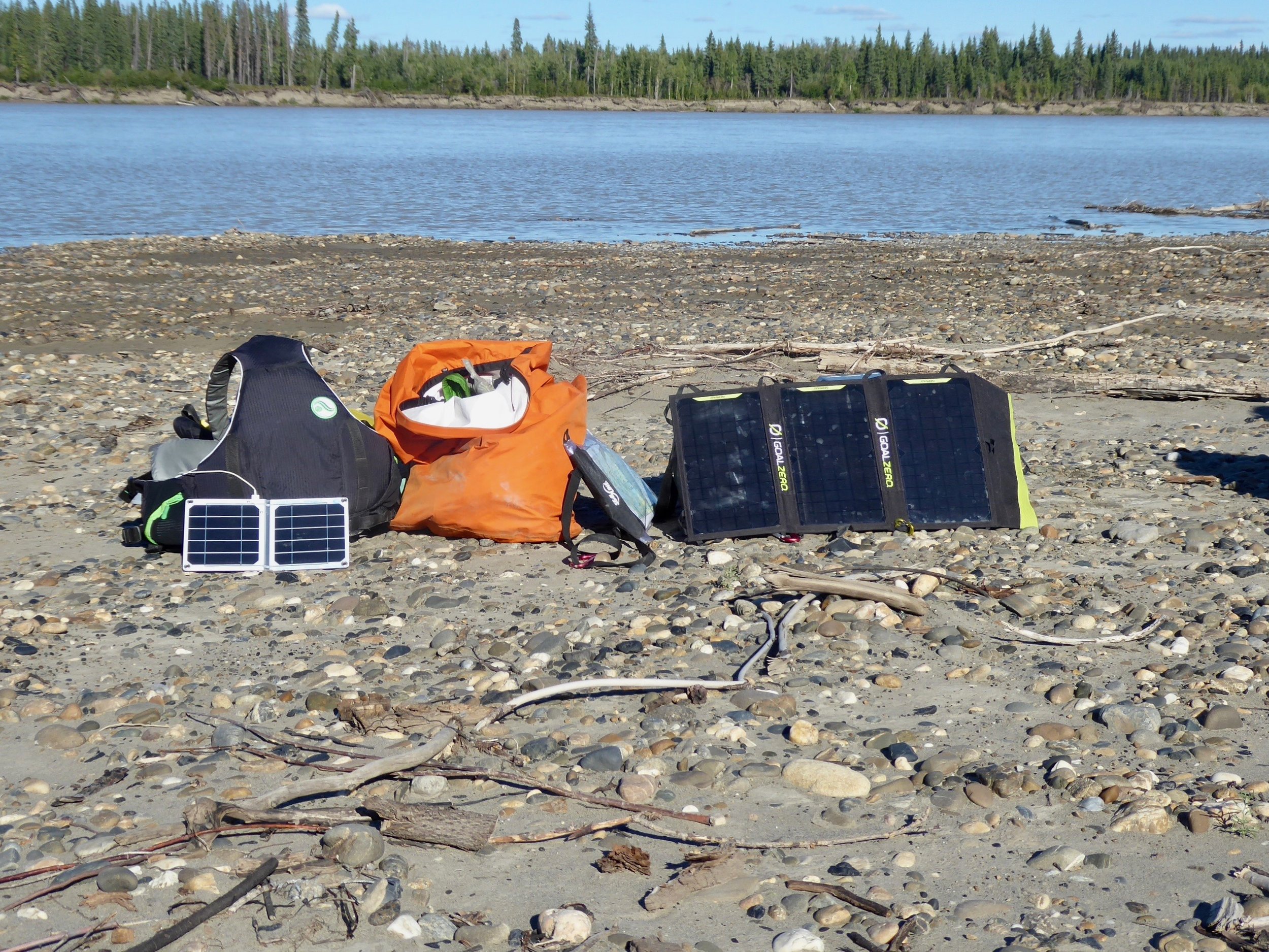
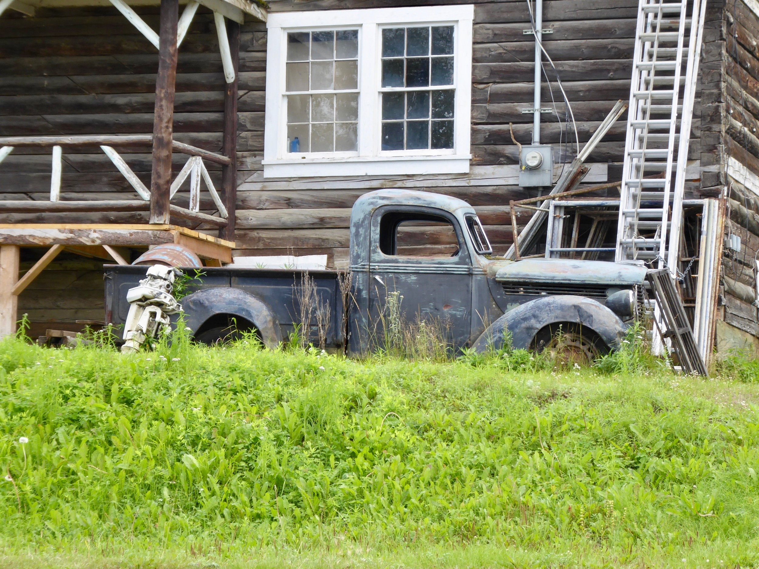
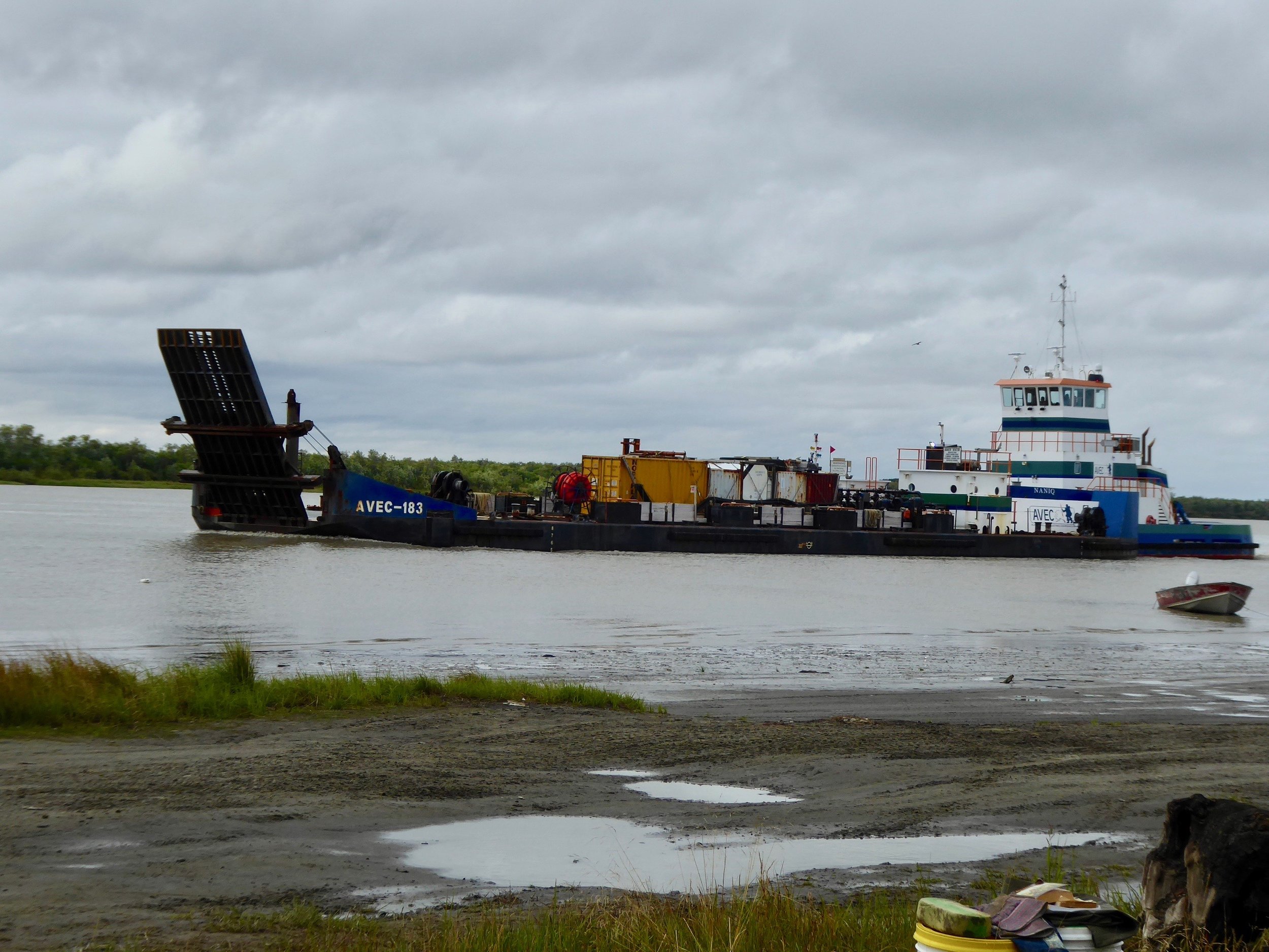
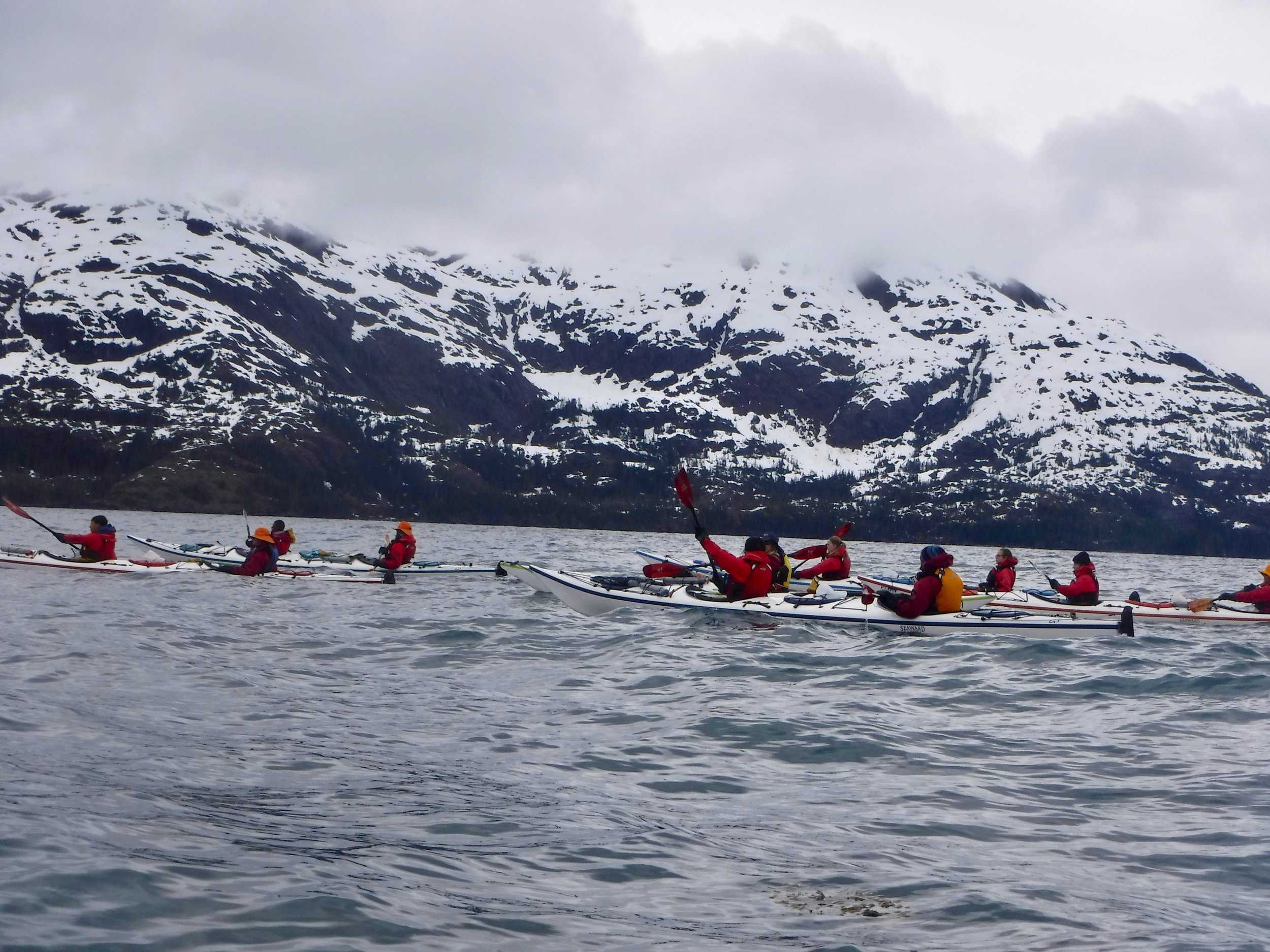
Other major tasks were getting gear ready and figuring out how we were going to get our boat, gear and us back to Palmer. A friend suggested that we should check out one way Uhaul rentals. It was a great lead and soon we had reserved a 22 foot truck to drive to Whitehorse. Gear prep included outfitting our canoe with a spray deck and making sure all of our camping gear was in good shape. We still had a month before our departure, but most of the upcoming month included instructing a NOLS course in Prince William Sound. We were surprised at all the snow which made for some cold paddling days.
Quite the contrast from Baja
The days went quickly and soon the course was over and we were back at our place and putting on the final touches for our expedition. One major project was boxing up our food to be sent to two of the smaller towns on the Yukon River. Our friends volunteered to send the boxes when we would be getting close to the town.

Love Flat Rate Boxes
Two days after our course ended we were packed and ready to go get the UHaul. In order to fit our canoe we had to get a 22 foot truck. Needless to say we had plenty of room in the back!

The UHaul was a one way only which meant that we did not have to return to Whitehorse when we finished our journey.

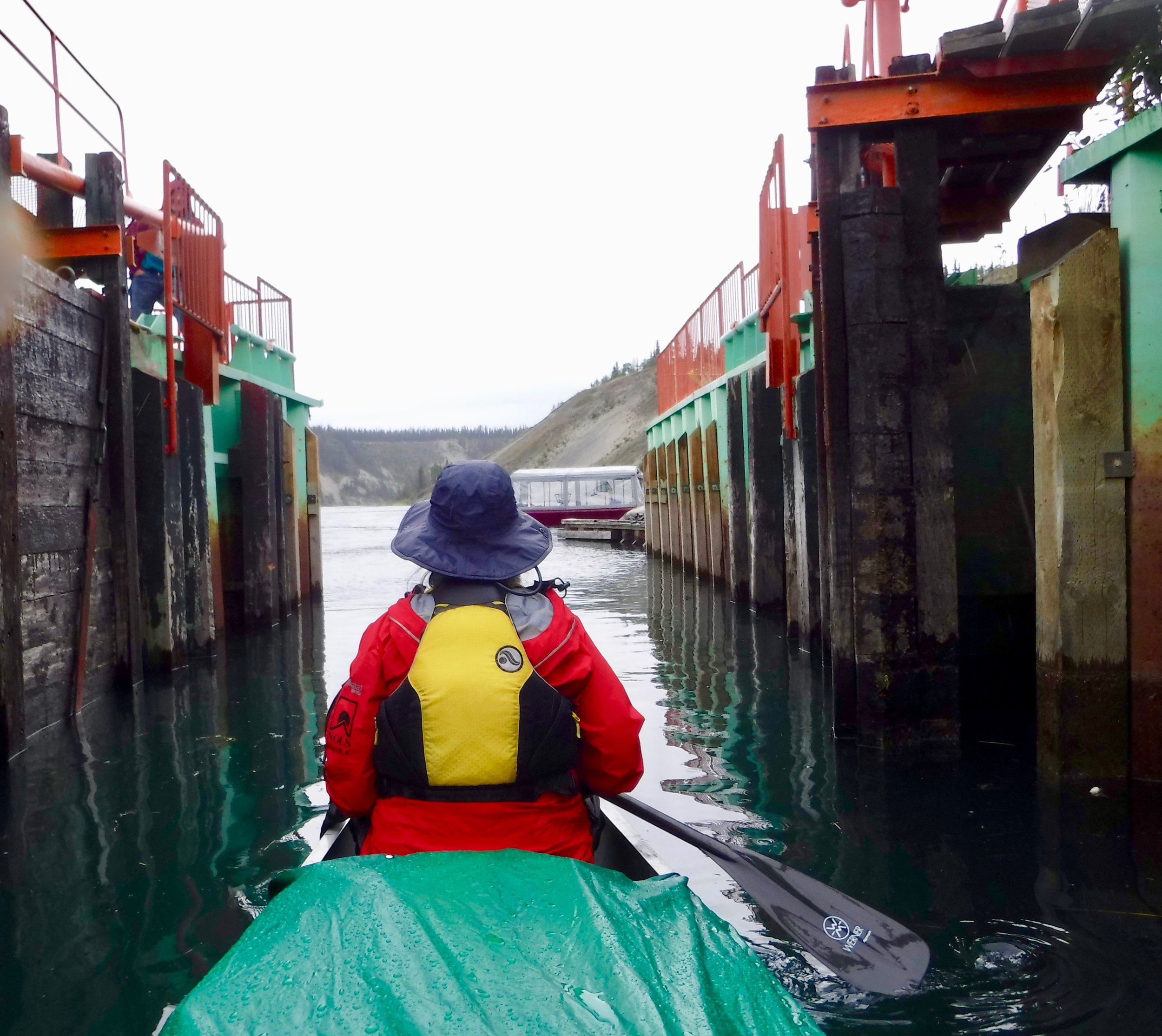
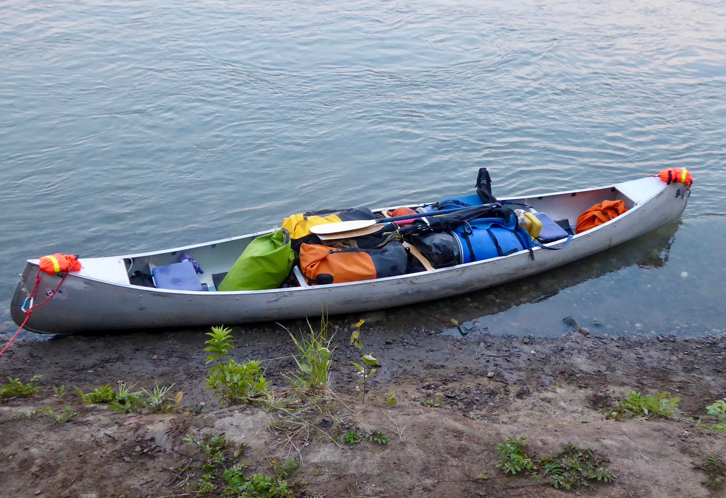
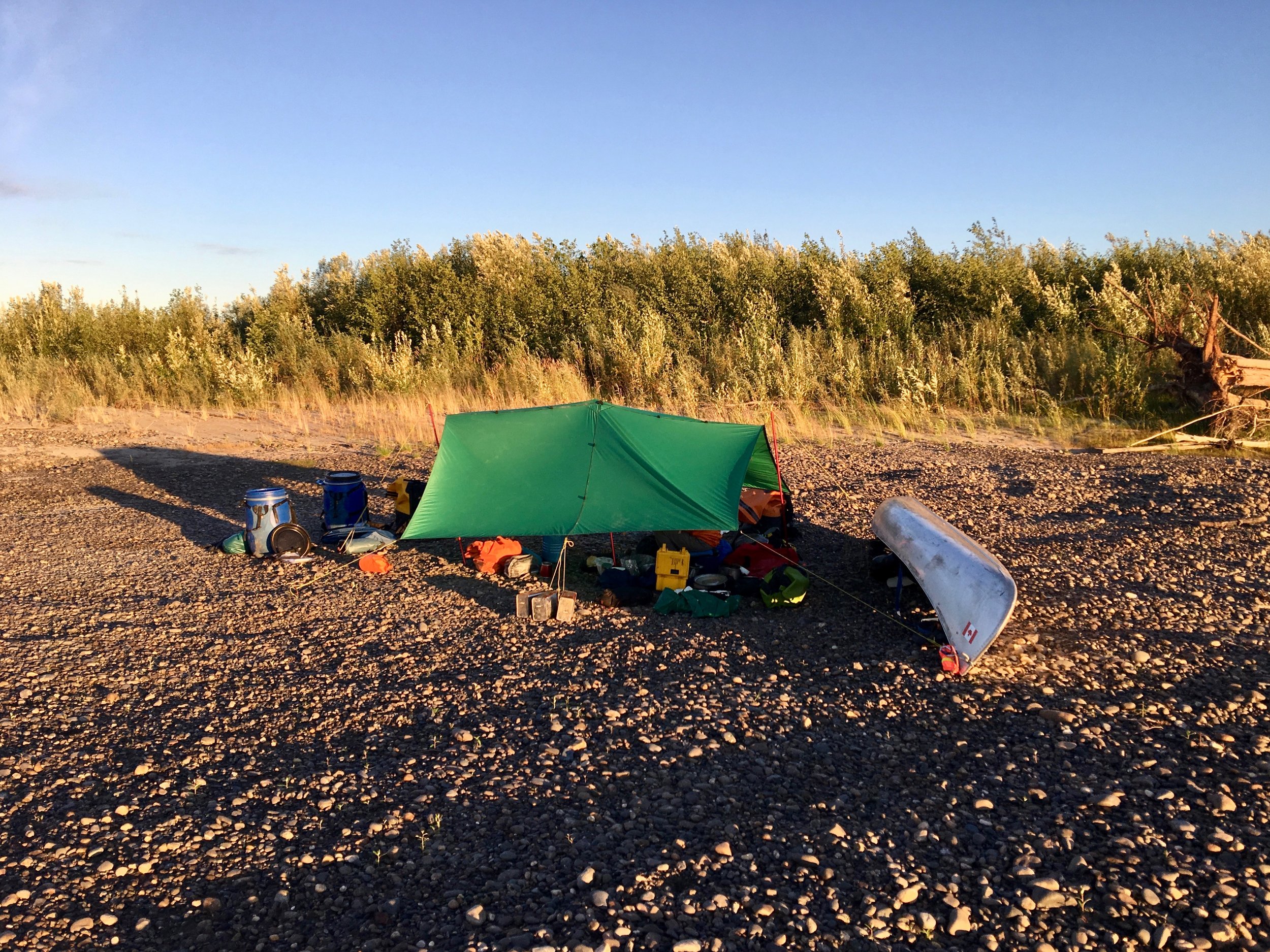
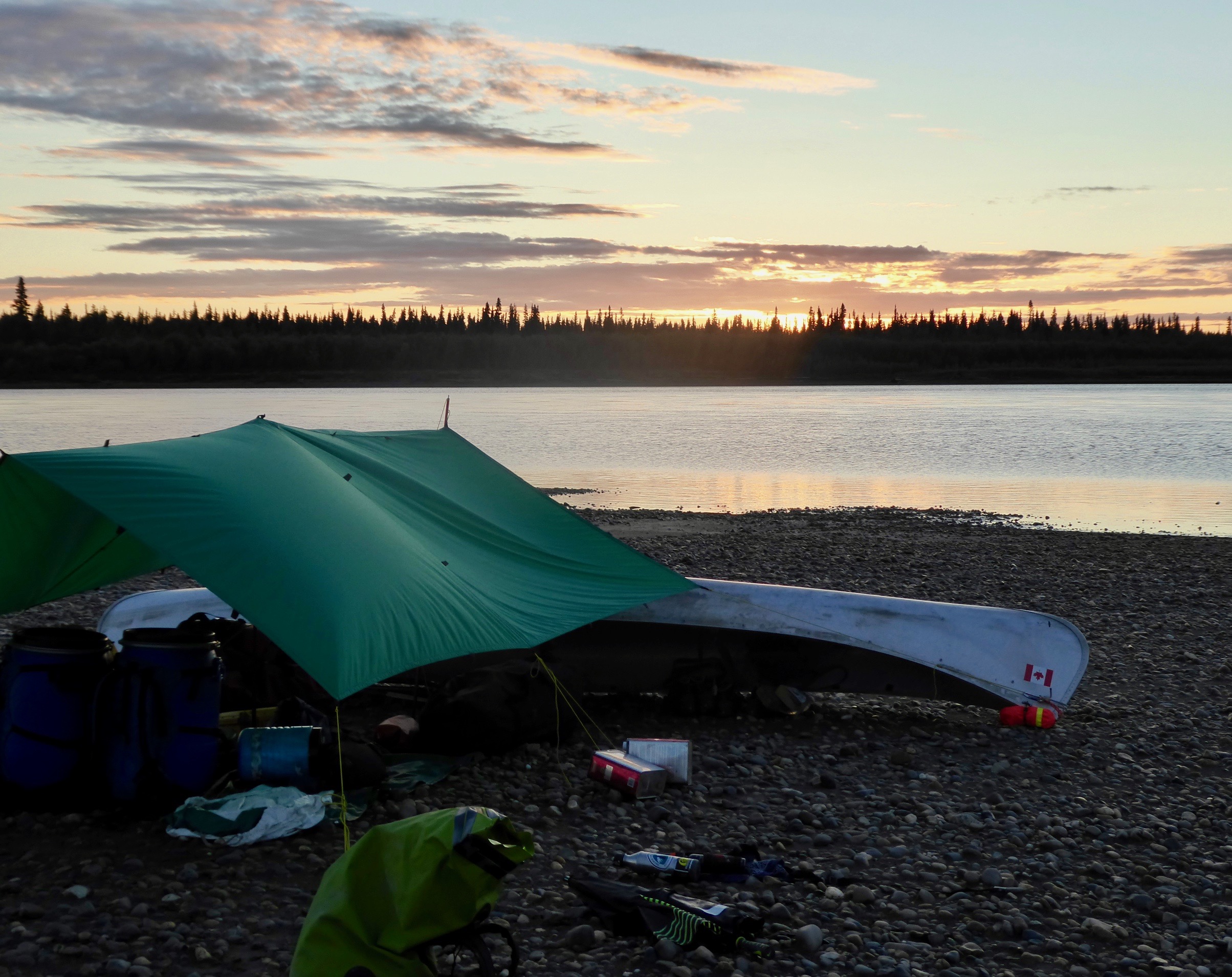
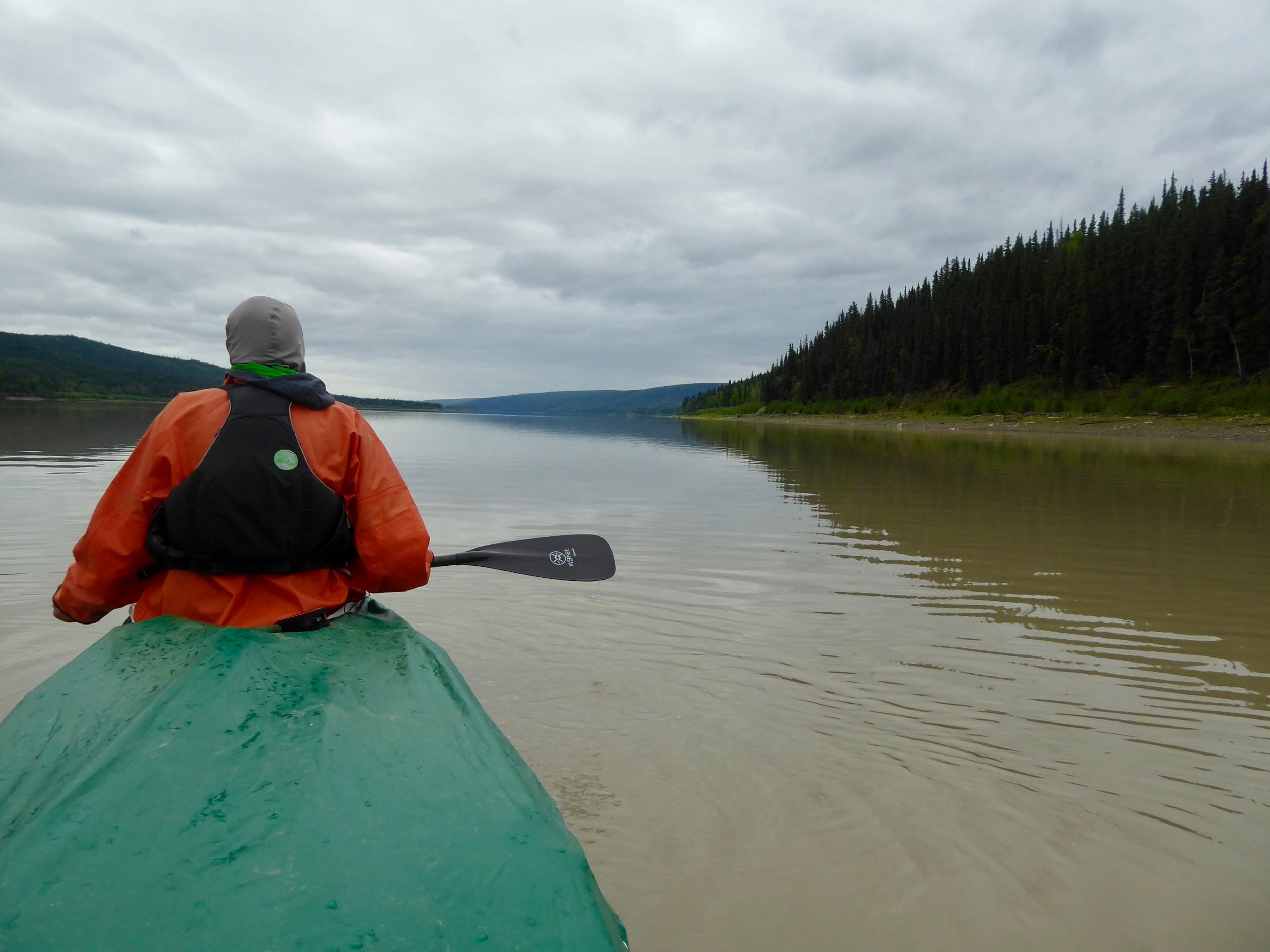
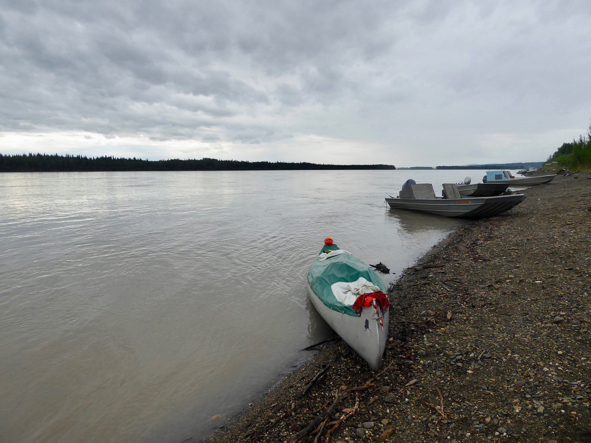
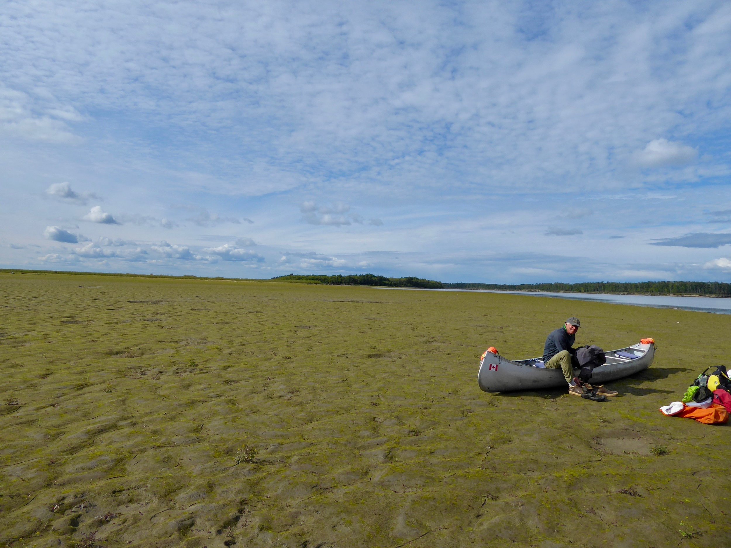
All of our backpacking gear and canoeing gear fits in the canoe with plenty of room to spare.
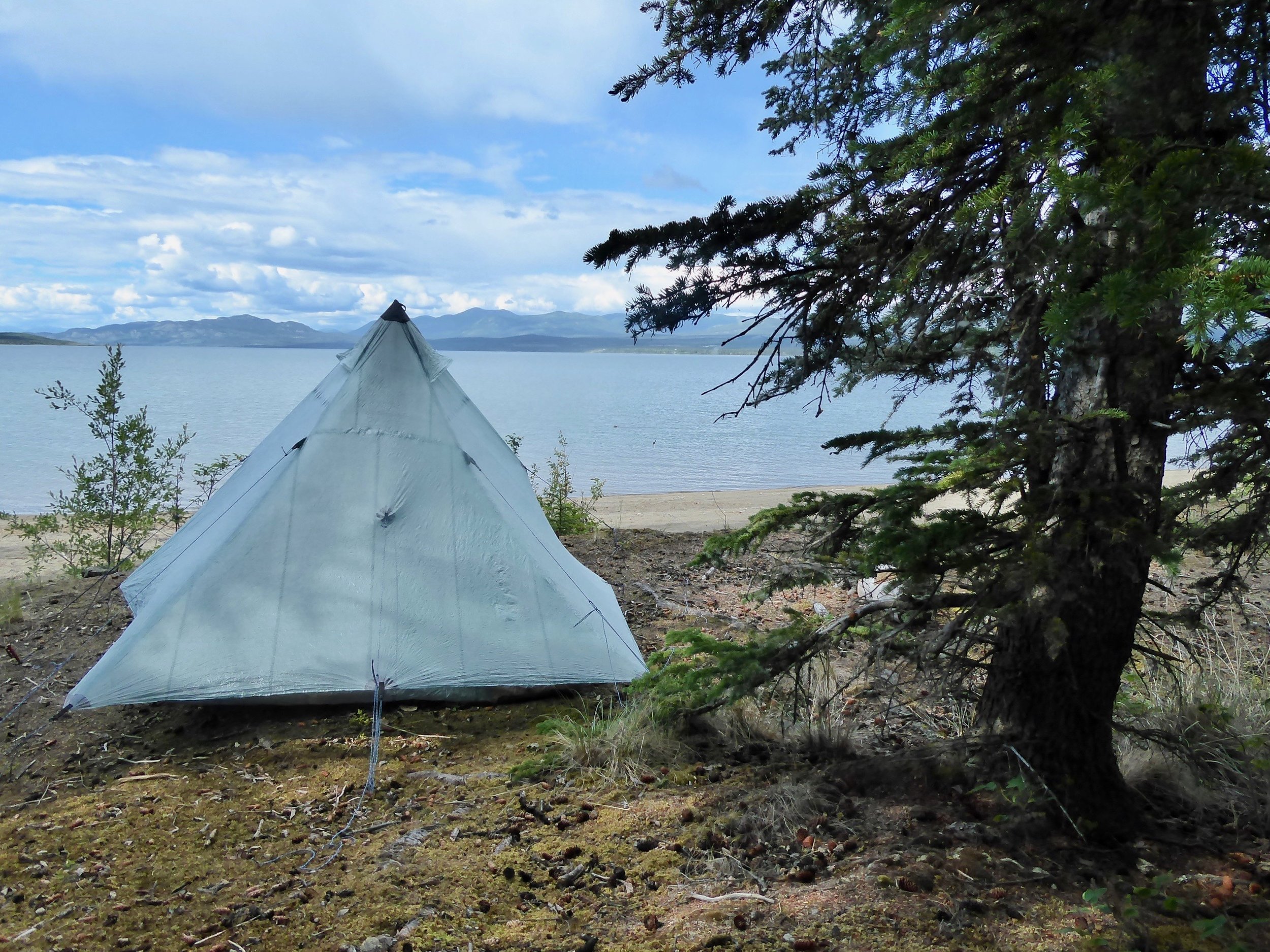
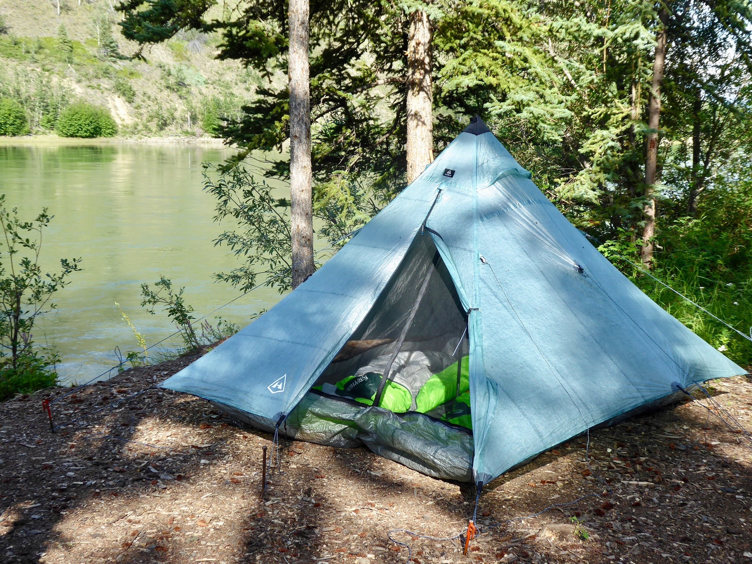
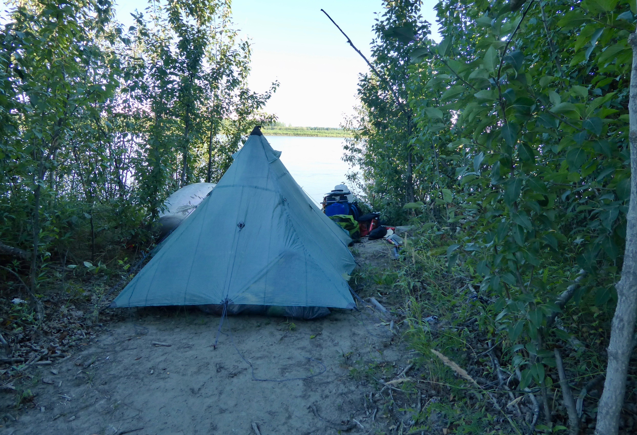
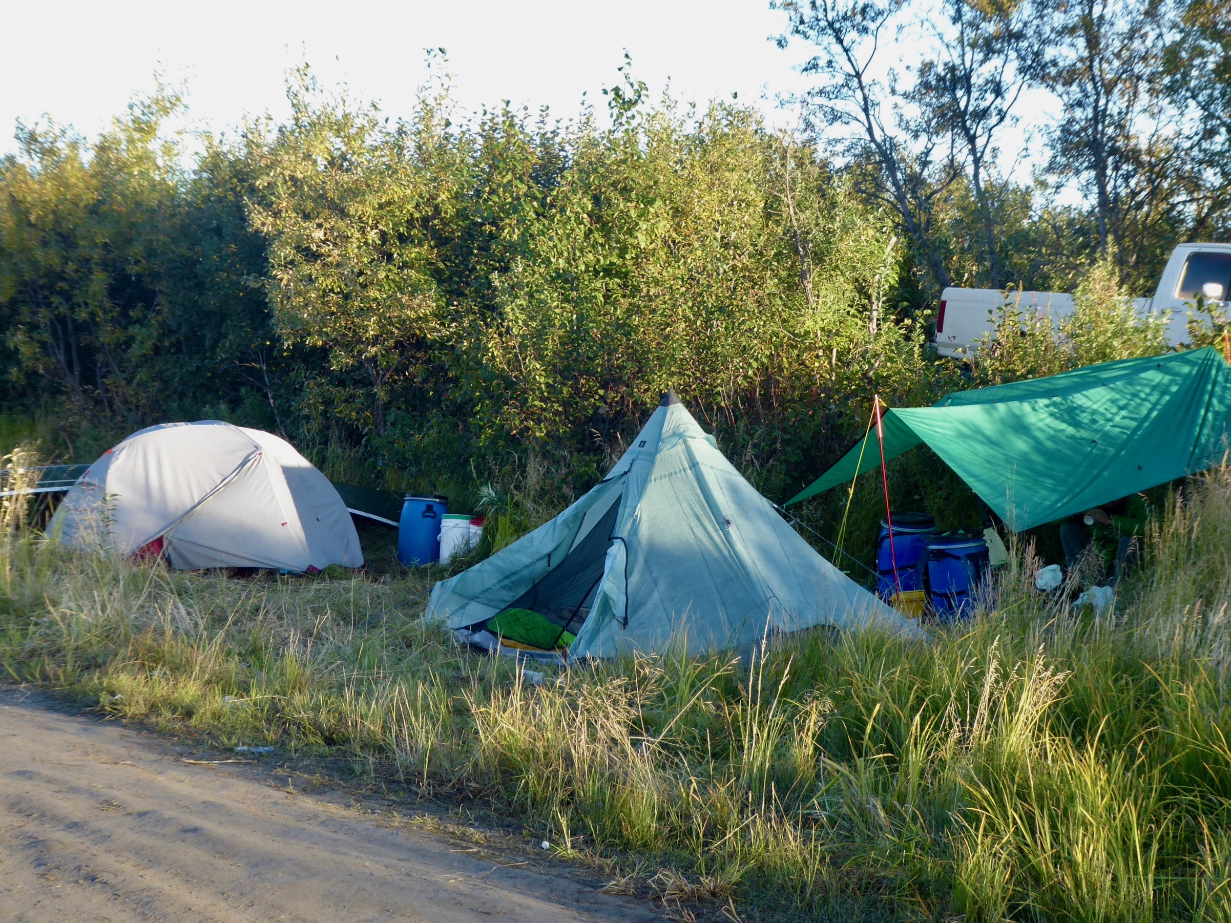
Our first night found us in Tok about a 350 mile drive. We pitched our new tent and slept soundly by the Tok River.

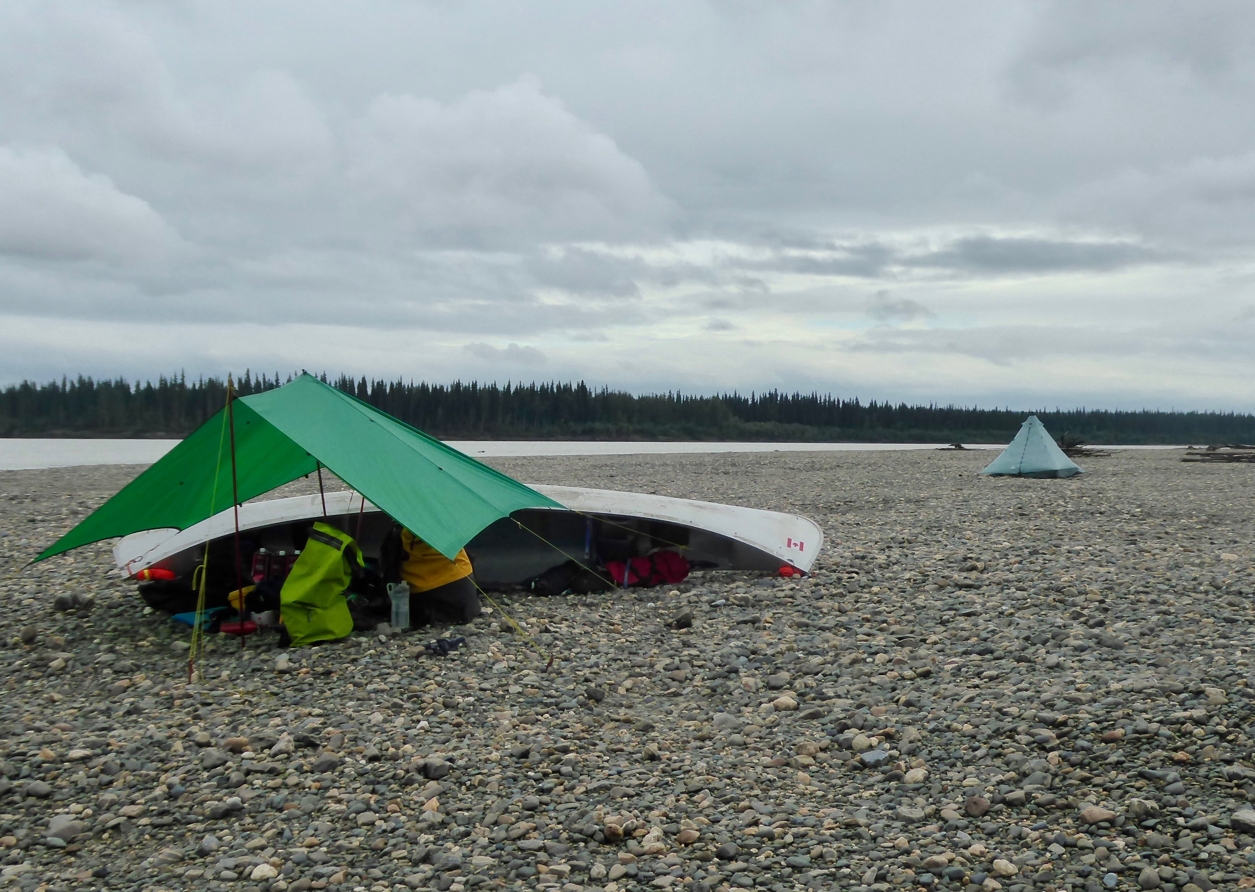
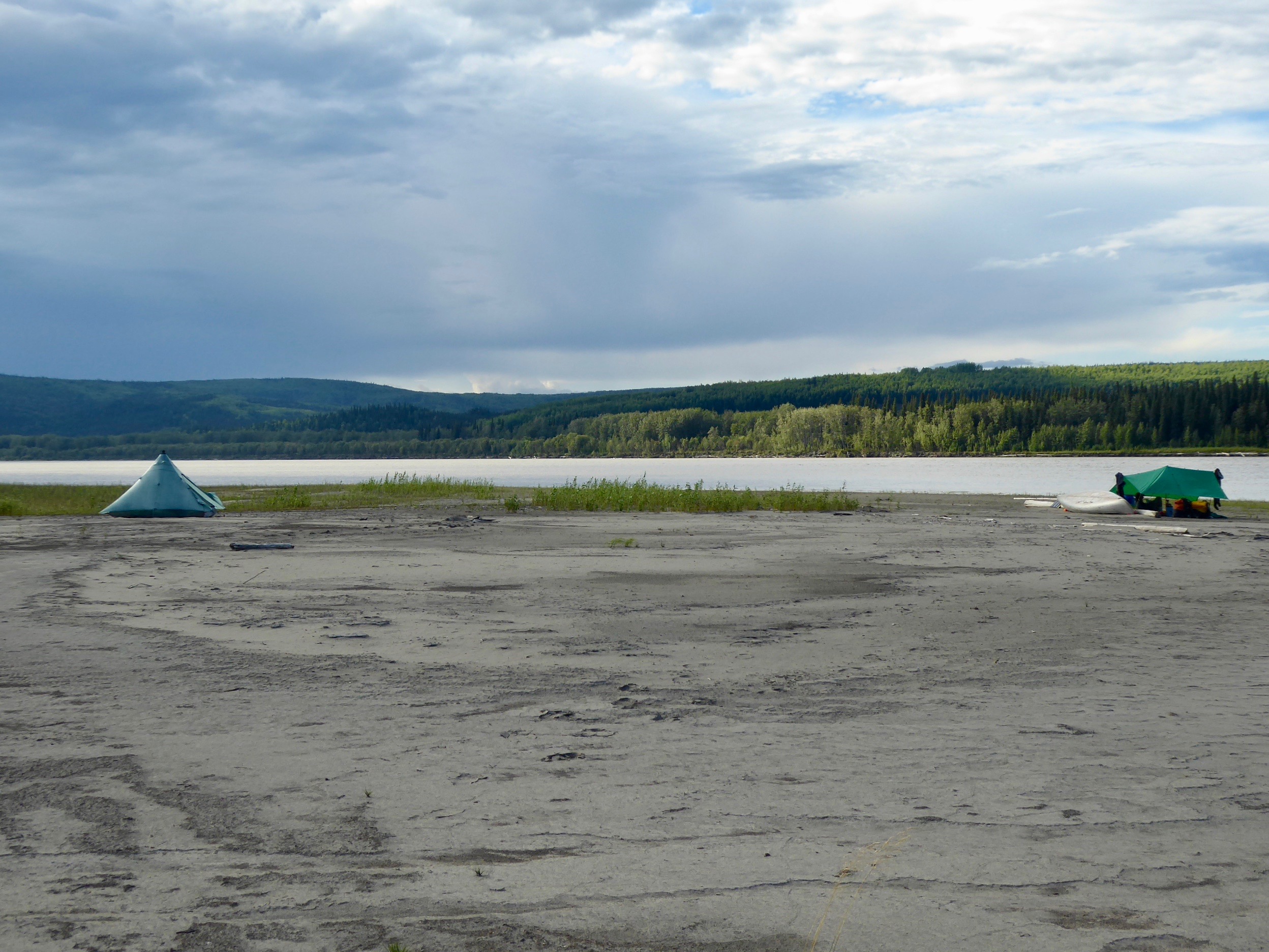
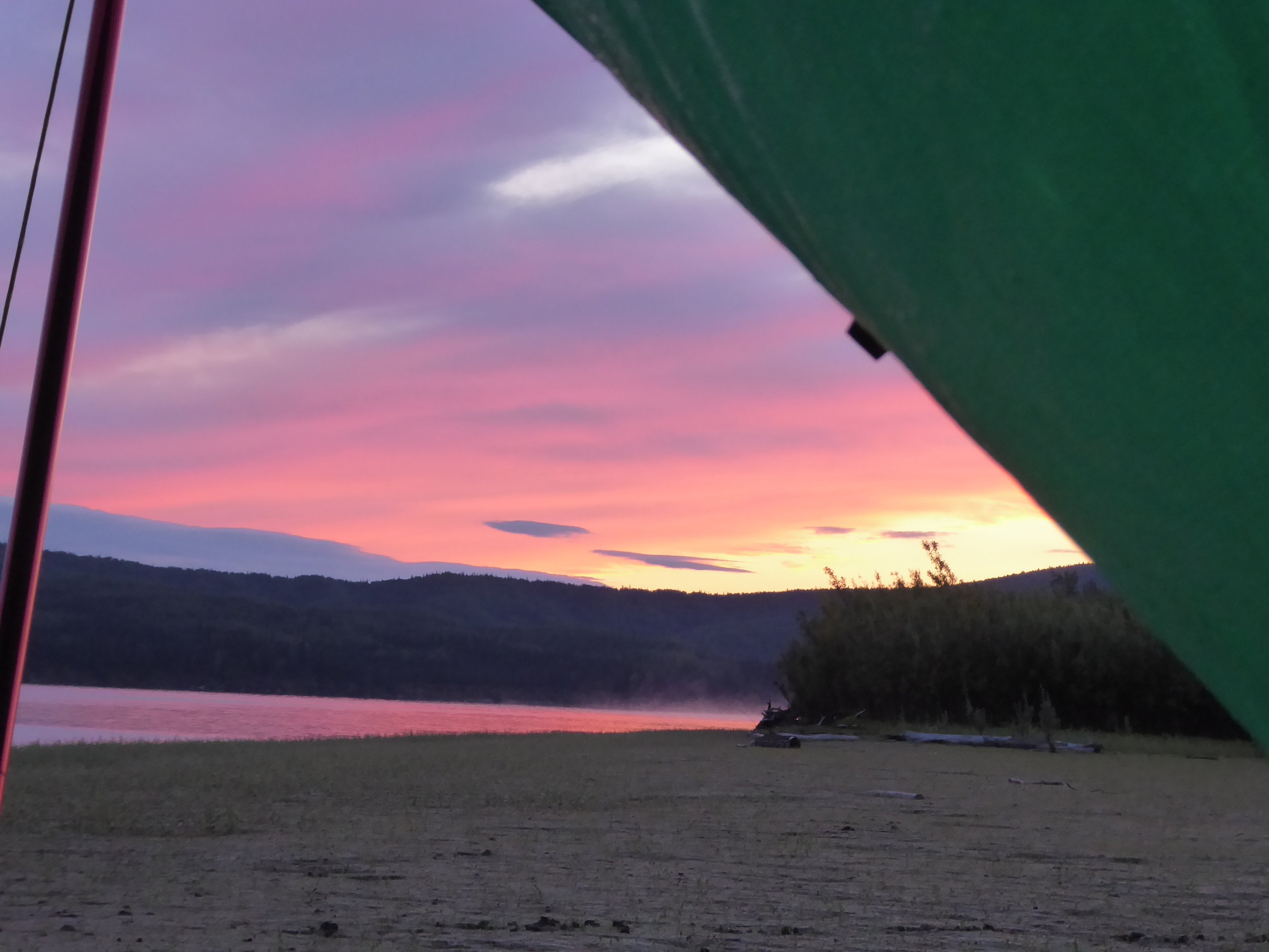
Our home for the next 2 months!
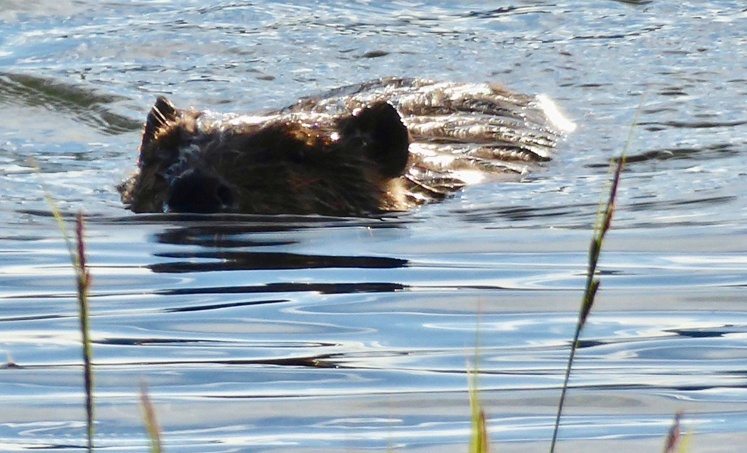
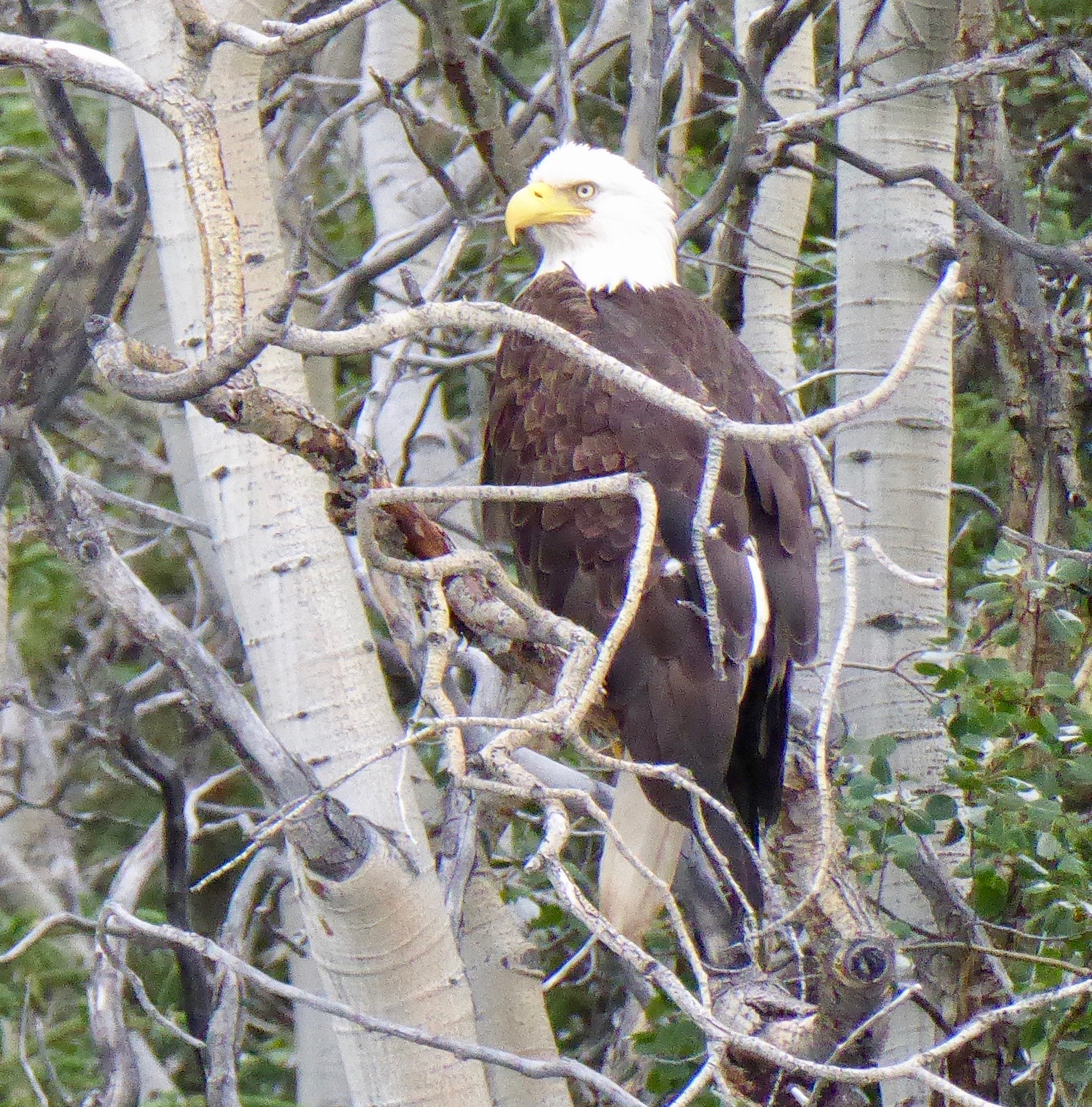
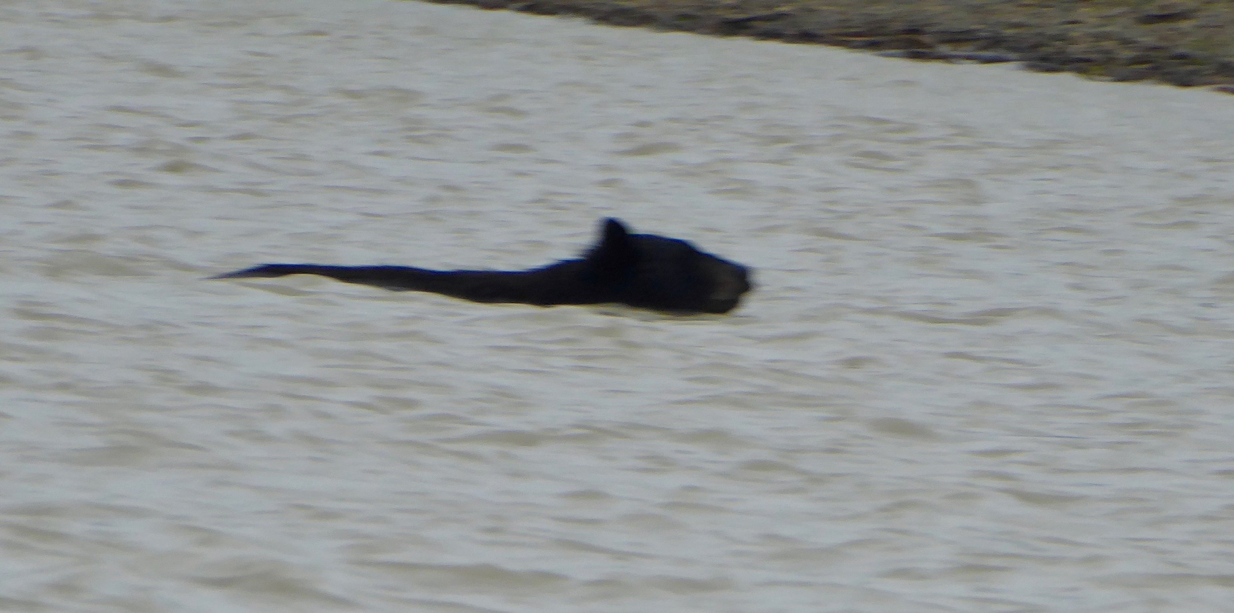
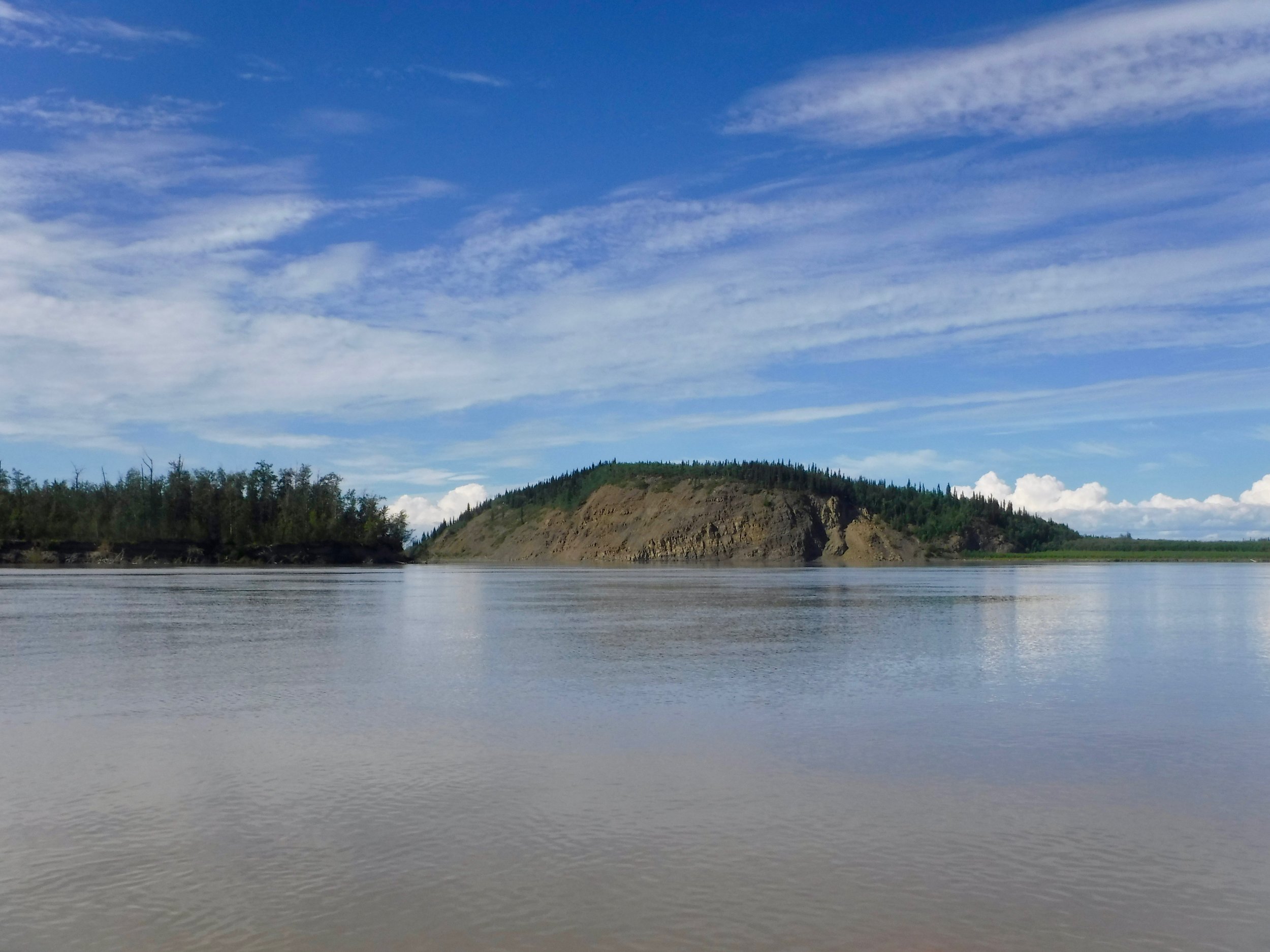
The next morning found us driving steadily to Whitehorse. We were fortunate to see a Grizzly Bear enjoying the grass along the highway.