Lake Powell 2015

April 3, 2015

It is a good morning to paddle. We are heading back to Bull Frog going from side to side as the lake twists making it shorter to go at diagonals. We check out a side canyon, but most of our energy is heading back. Art and Cady are heading back to Wyoming in the morning and we are heading to Flagstaff to get ready to raft the Grand Canyon. Beautiful place, but a sadness as well knowing that some of the beauty of the area is underneath the water.

April 2, 2015

Its a good day to go for a hike. Donna had found a trail leading away from camp that had potential last night so we started hiking on it. The trail soon turned into a very rough road that switched back and forth up a cliff face.  Tire tracks and scrapped paint were signs that someone had made it down, Since we did not see any abandoned vehicles at the bottom, they must have made it up as well. It would have been interesting to see.  I think we were glad that we were walking. Flowers are beginning to appear which brightens the landscape. Enjoyed lunch with a view before returning to camp and baking pizza and calzones for dinner. The wind seems to be calming, we plan on an early morning start.

April 1, 2015

We are retracing our path today as the mud flats confirmed there would be no further paddling to the North. We take a slightly new variation of the route as we head towards the more open areas of Lake Powell. The wind has picked up some, but we are quite protected and not so sure what we'll face in the more exposed and open areas. With that in mind we keep up a steady pace. If the wind does blow tomorrow we are aiming for an area that we can do a longer day hike. Sure enough the wind does pick up and white caps begin forming.  We feel okay about getting to the other side, but it takes some effort. Once we reach shore we scout out for a protected area to cook dinner.  First we tried building wind blocks out of these great slabs of rock. It was a fun exercise, but did not seem to be as effective as needed.  We moved inland finding a more protected area, but still not ideal.  The tumble weed was being blown all around us. Dust devils across the way were quite prevalent. Not a good night for sitting around the campfire. A little more exploring and we found sleeping areas that previous campers had carved out among some bushes.  Art built a great wind block of tumbleweed and branches. The wind does not seem to be dying so a hike tomorrow is on the agenda.

March 31, 2015

Another day of calm water greets us we pack up the kayaks. Today the plan is to head up the Escanlante River Arm.  There are many side canyons which we can explore. There is a recommended hike at the end of one of them. Paddling has been easy compared to the maneuvering that we have to do to get out of our kayaks. The water is quite murky by the time we reach our hiking destination. We use our paddles as poles to determine the depth. Unfortunately the bottom has the type of mud that will suck your foot right in. We are not overly concerned with quicksand, but we are careful not to stay in one position very long. It is well worth the effort to beach the boats and start hiking.  There is a fresh water stream that we follow up the canyon.  The vegetation is quite verdant in color.  A good change of pace from all the rocks we have been paddling by. Getting back into the boats was just as much a challenge as getting out of them.  We all chose different paths and some needless to say were better than others. We took another break at a beach that had huge fish swimming in the shallows, Art thinks they might be stripers. A thought is:  I wonder if we can catch them? Actually none of us has a fishing license so it is a moot thought.  With the water level being low we are having a hard time finding a campsite. We continue paddling, north and finally there is a site that has been obviously used before. Then as we check it out, we also notice that we are not going to be paddling any further.  Where there used to be water, now it is mud flats. We go to Plan B for tomorrow.  We will be heading South, retracing our paths and checking out a different canyon.  

March 30, 2015

This is our second night out. We find a beautiful camp site that has snow covered mountains in the distance. We are appreciating the accuracy of the weather forecast which had predicted calm winds for the next day. We have been exploring side canyons and being awed by the color and steepness of the cliffs. There is very little boat activity on the lake this time of year. Most people visit in the summer when the water is warmer and the winds calmer. The boat of choice is a houseboat. They can be quite large often with a slide attached for a quick entrance into the water.  We finished the evening by playing a round or two of Hearts.


March 28, 29 2015

From Zion National Park, we have been enjoying the drive through canyon country. Last night we arrived at Bull Frog Marina campground. Today we are waiting for Cady and Art to arrive, friends from Wyoming. We spend the morning exploring the area, taking a run and are amazed at the water level of the lake. Several of the marinas are closed due to low water. It is down over 20 feet from its high over 10 years ago. Should not be a problem for kayaking. The Glenn Dam  is what creates Lake Powell by damming up the Colorado River. The Glenn Dam is located in Paige, Arizona. Next week we will be be below the dam rafting the Colorado River. Cady and Art arrive mid day and the rest of the day is spent organizing. In the morning we head down to the lake, load our kayaks and take off surrounded by steep canyon walls. One finds it hard not to imagine what the walls looked like before the dam was built. Pull outs and camping spots are limited. Some of this is due to the water level. The sun is out in full force and Don takes full advantage of his sun blocking buff.


March 26, 2015

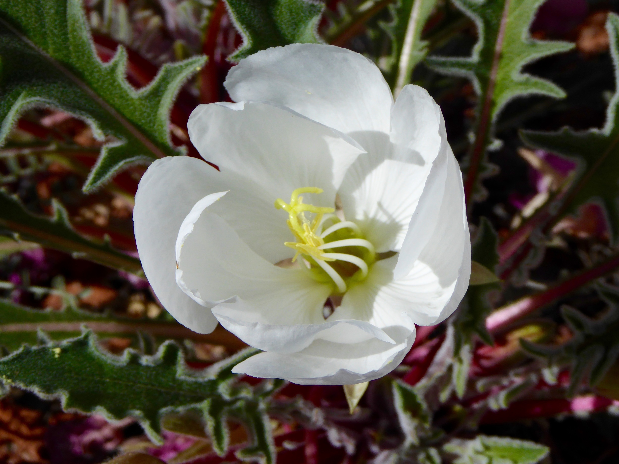
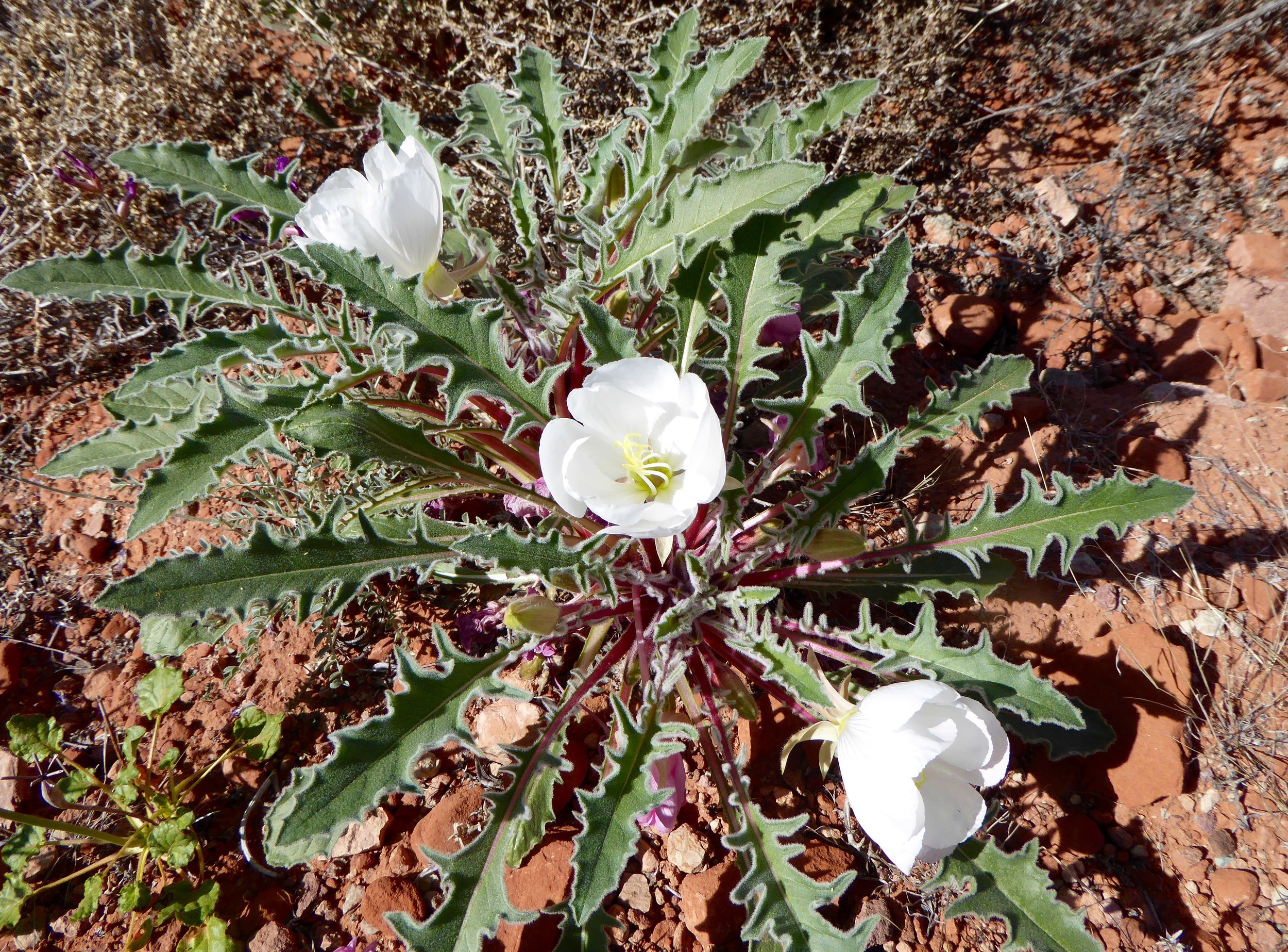
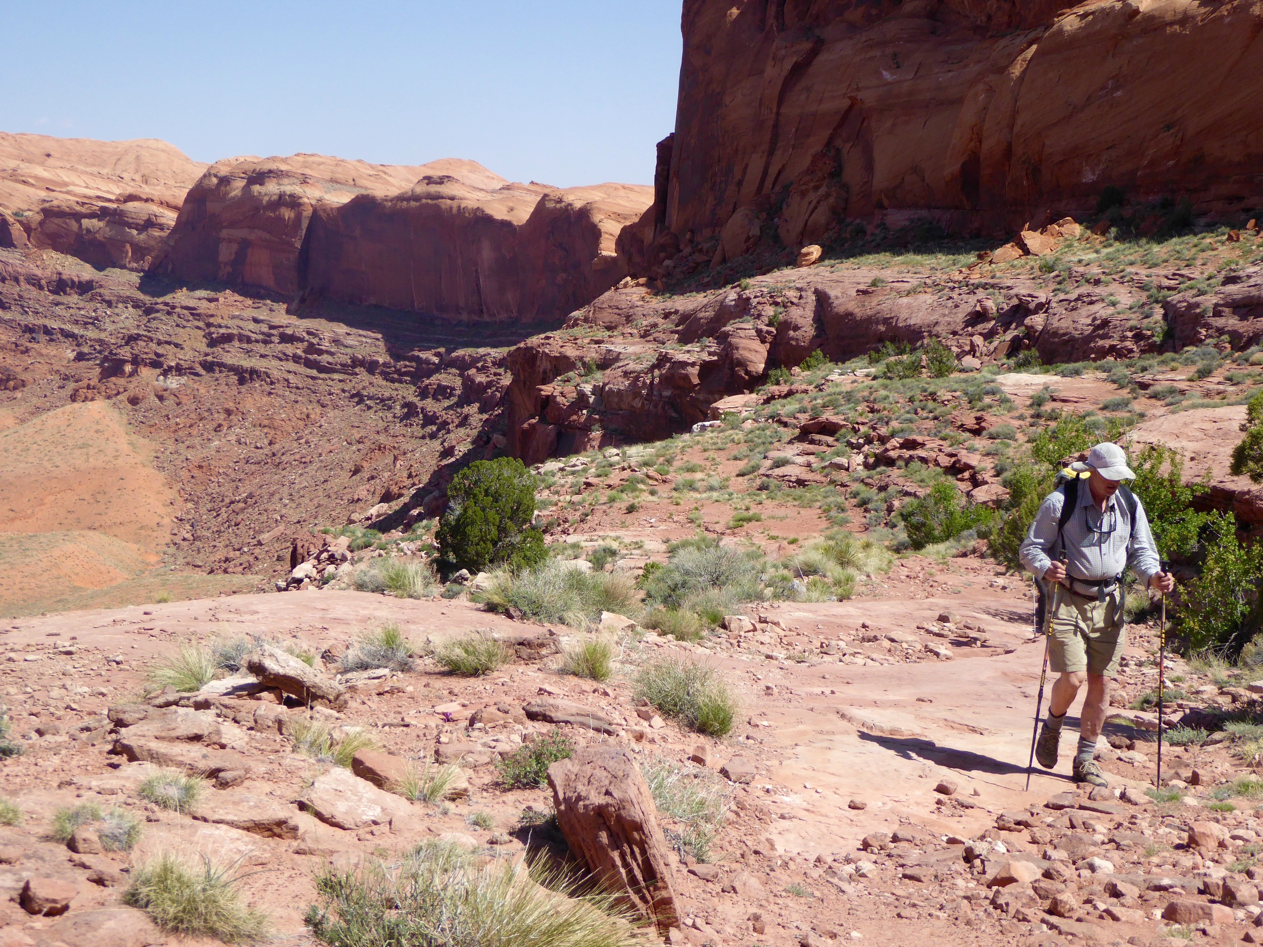
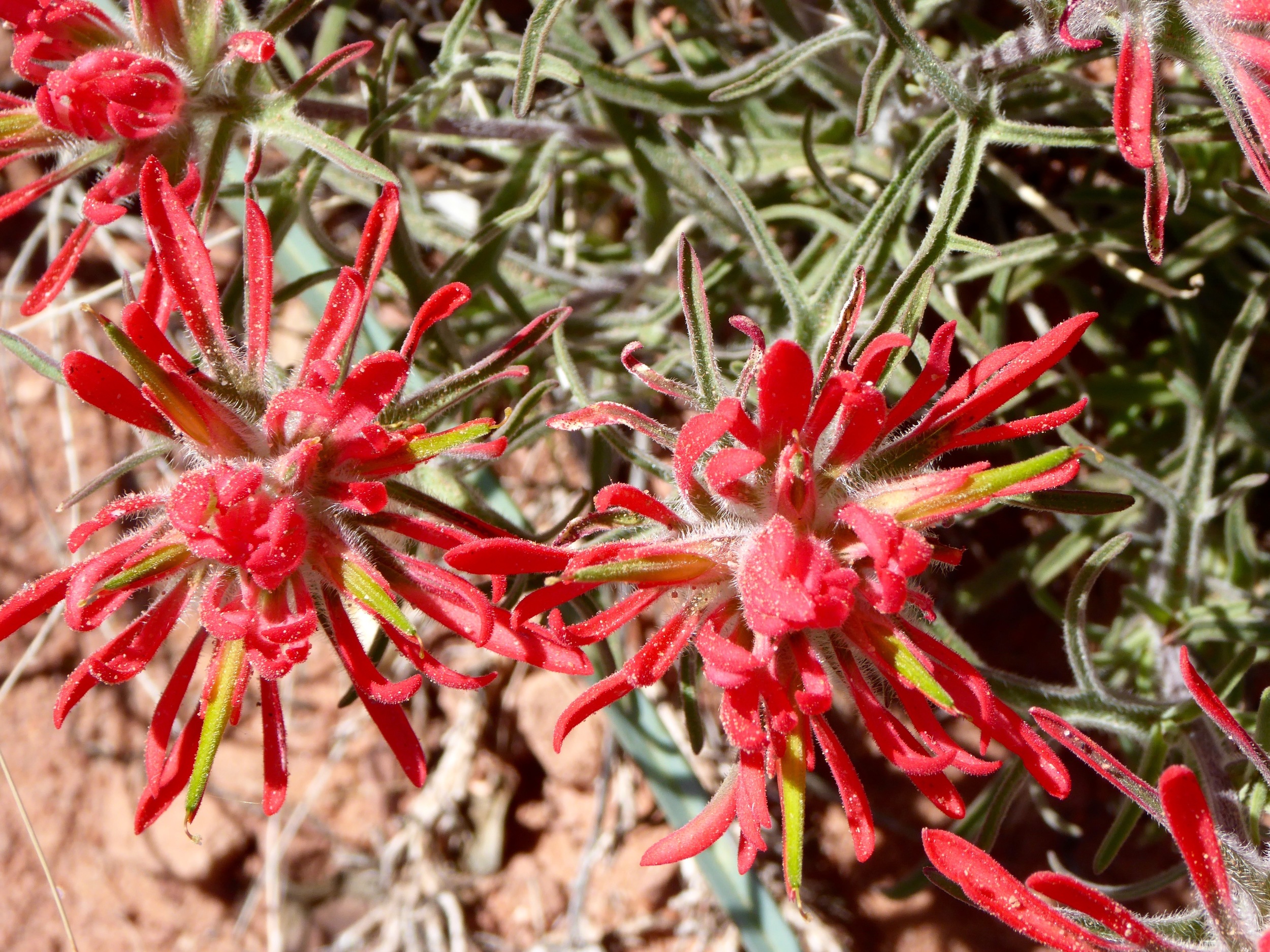
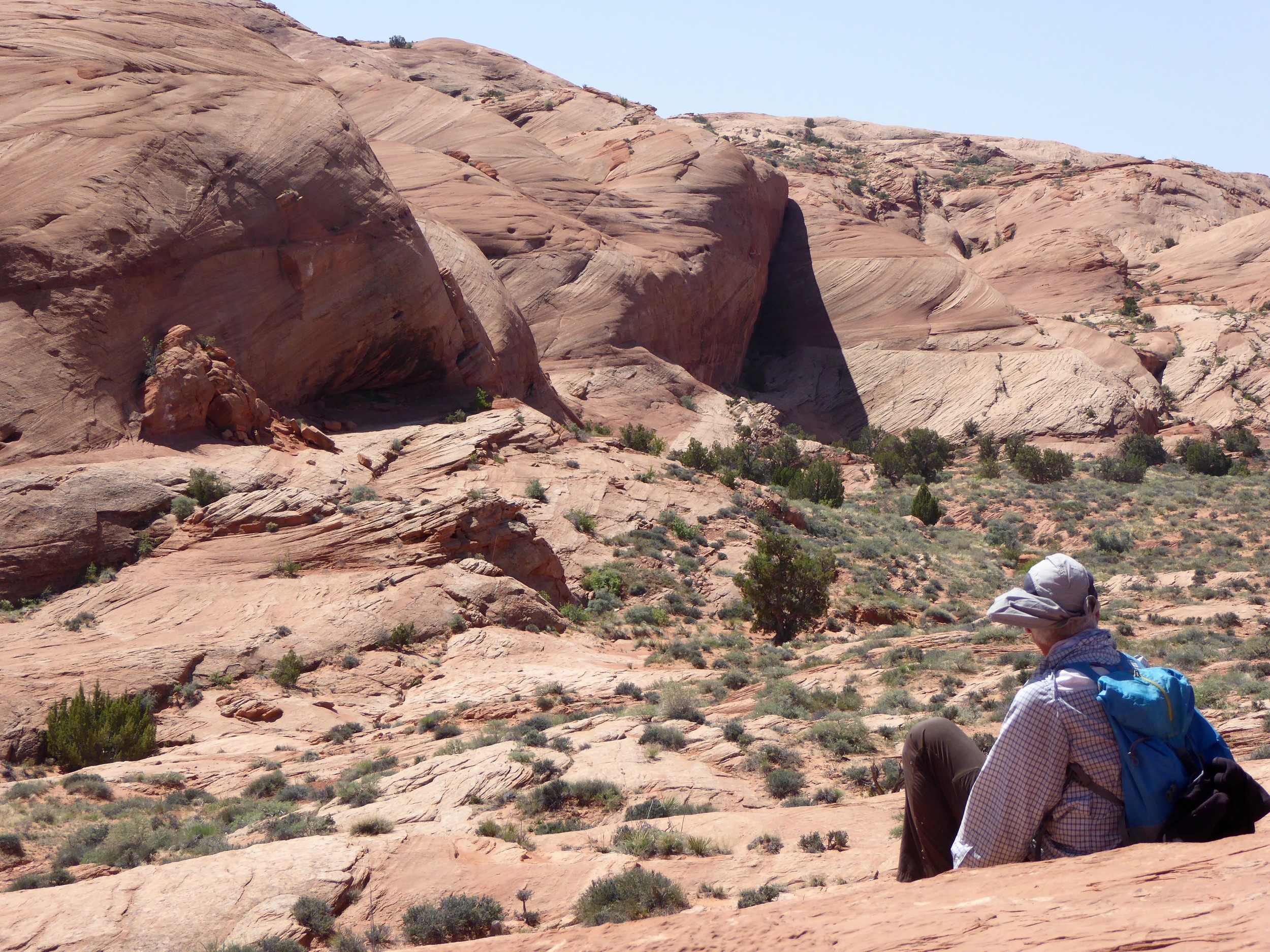
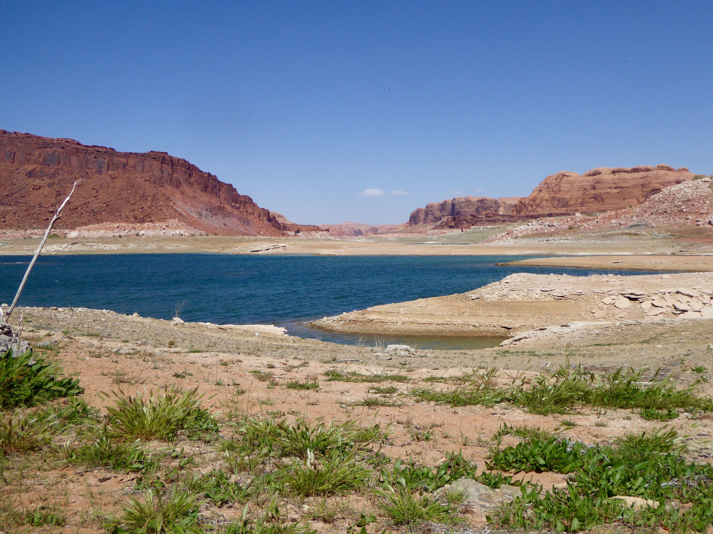
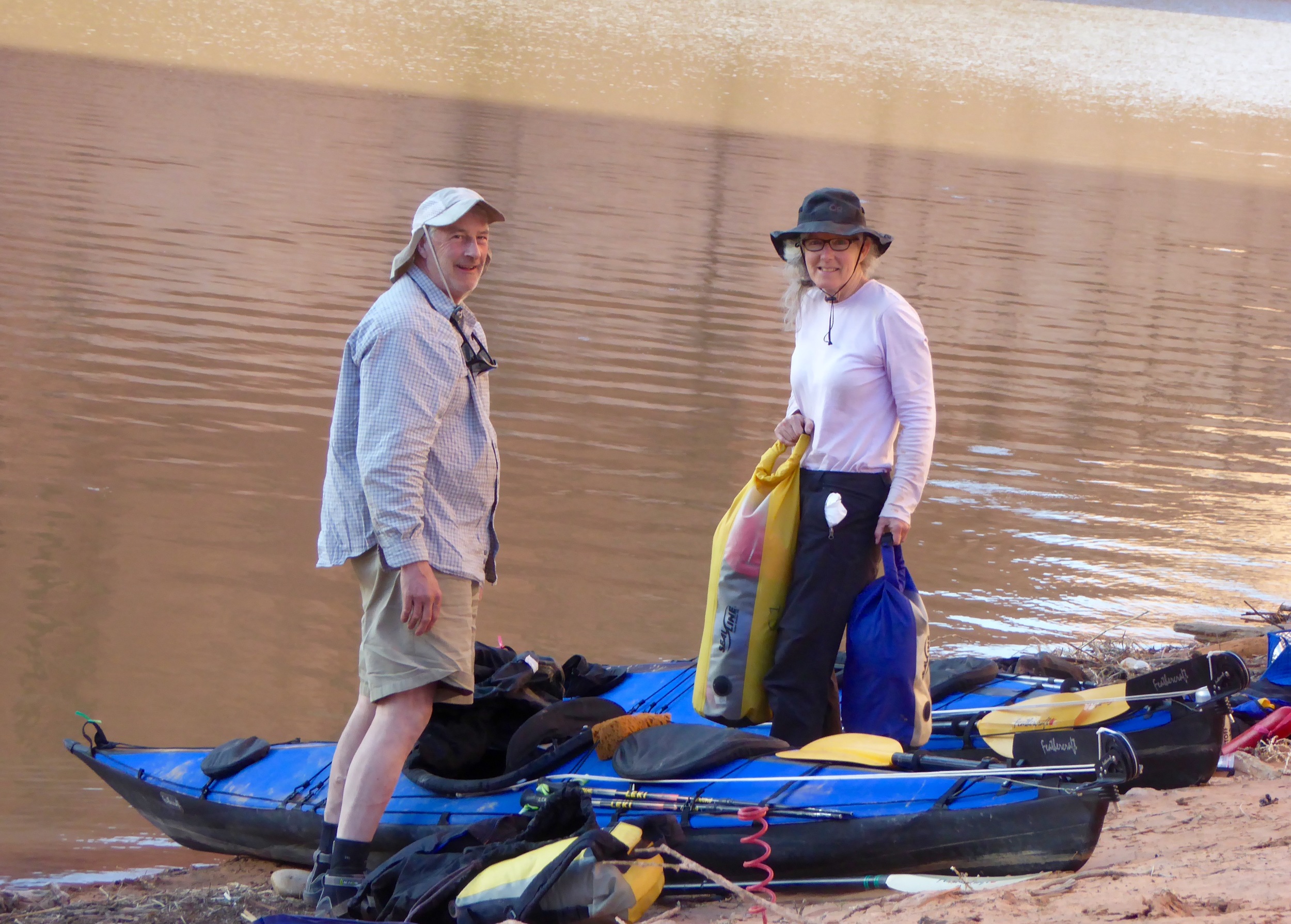
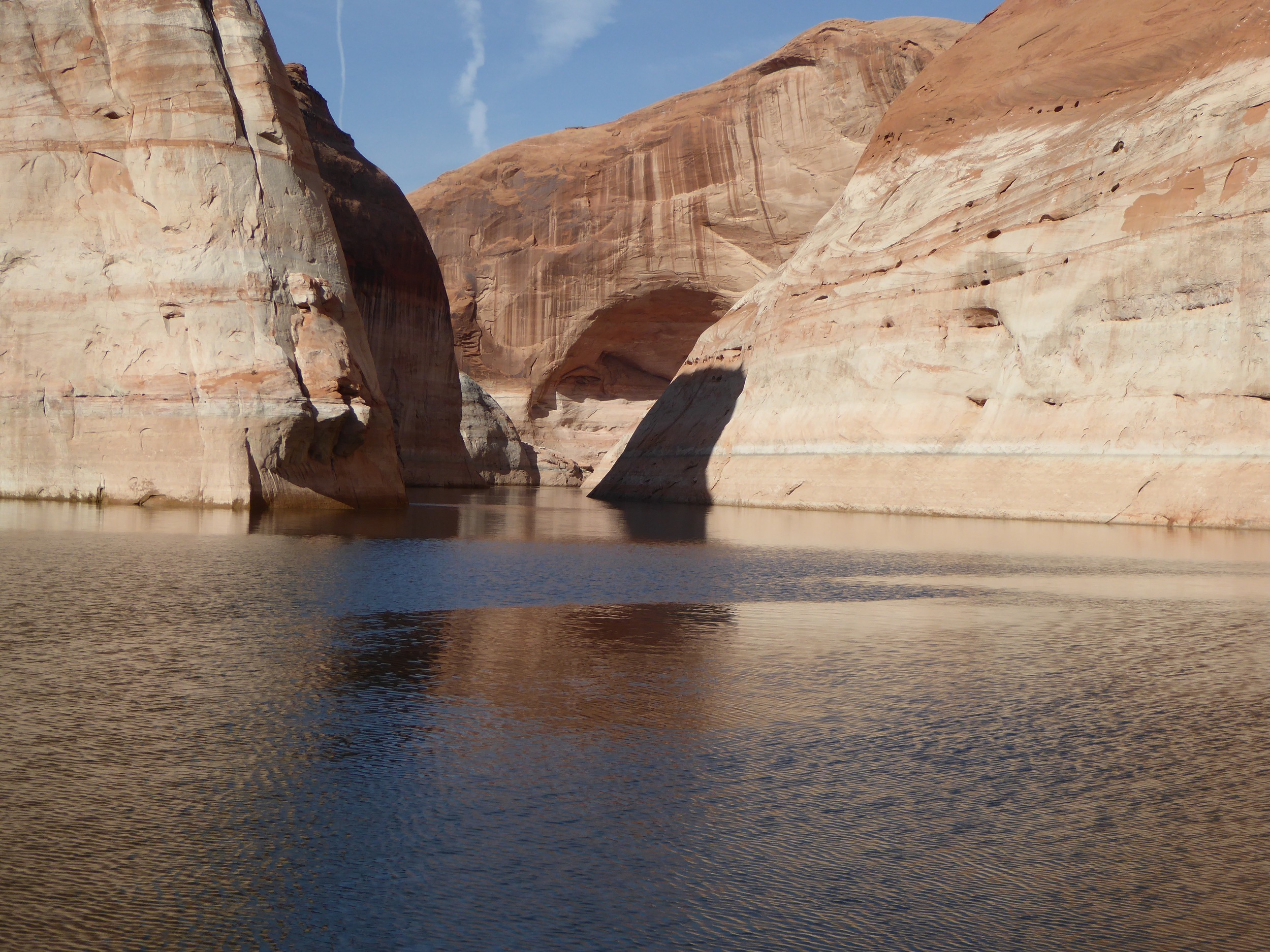
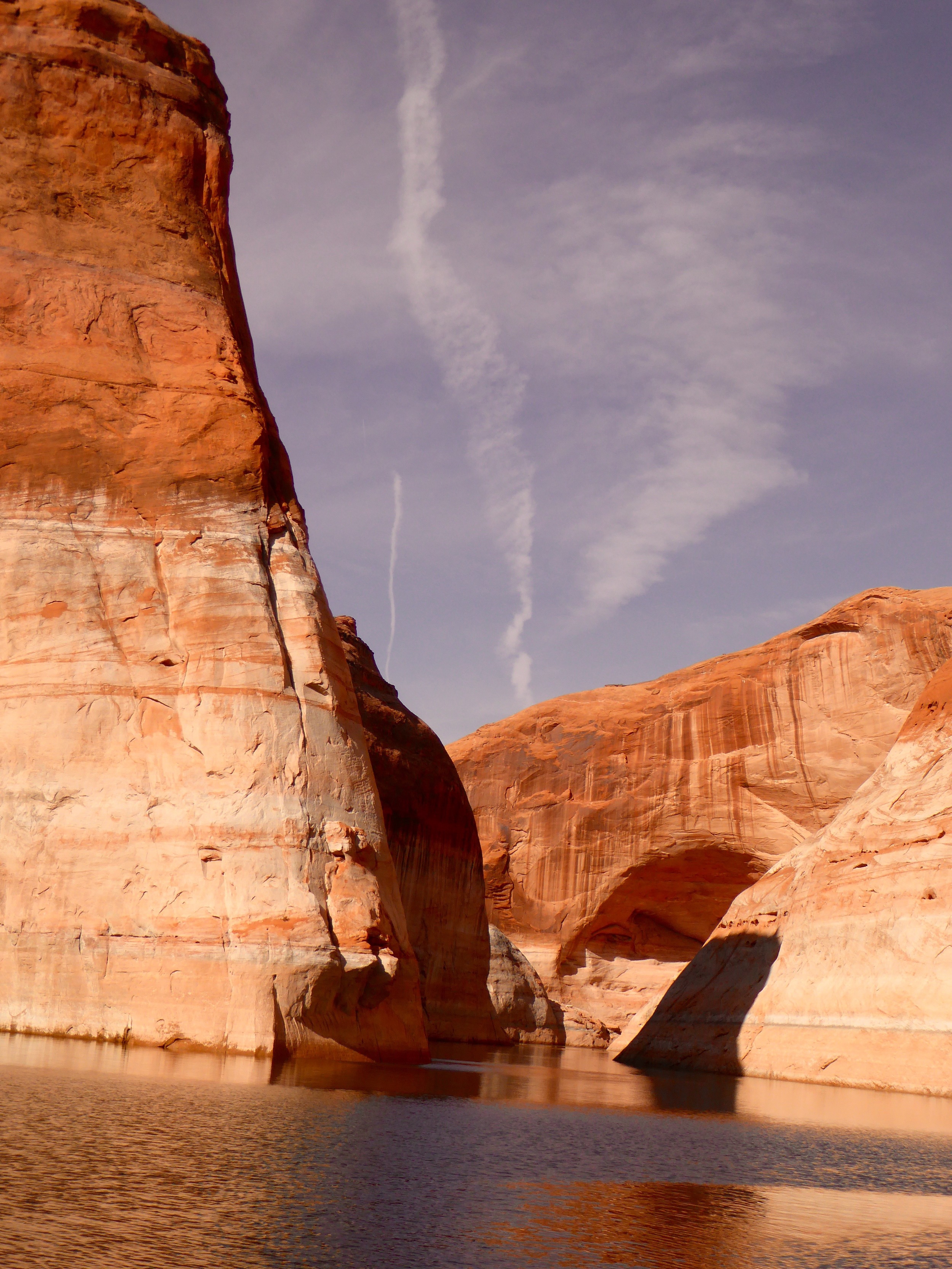
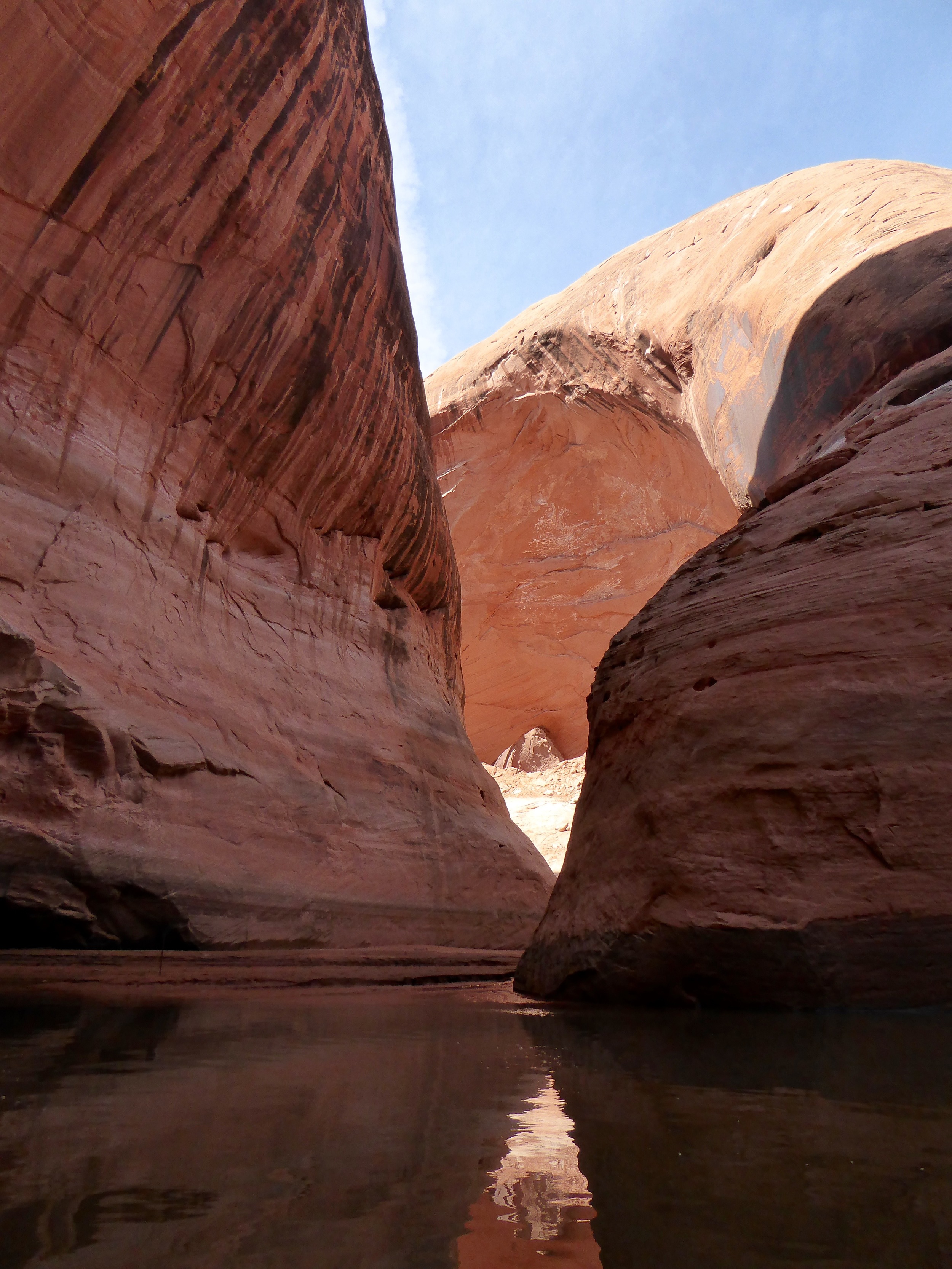
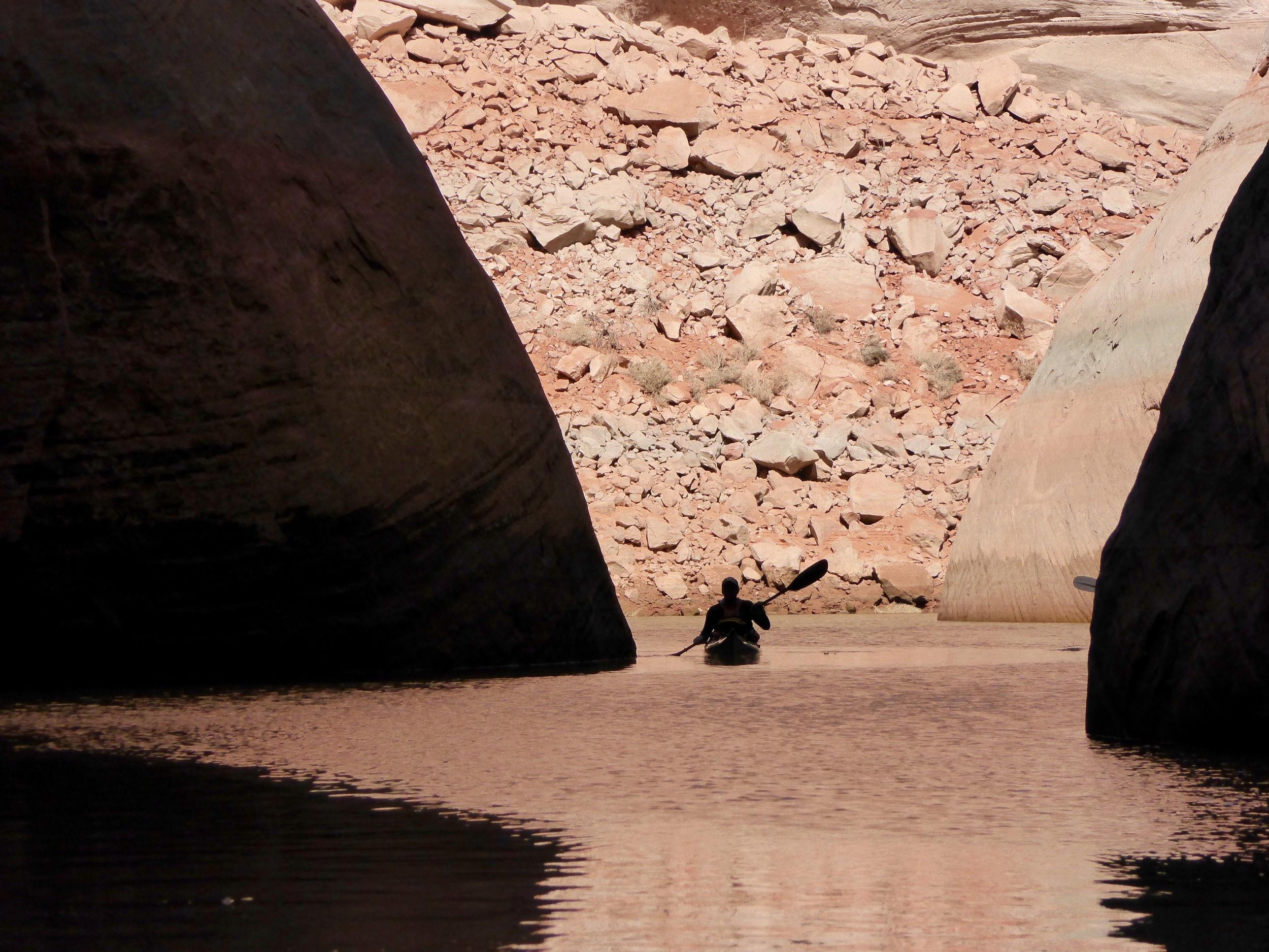
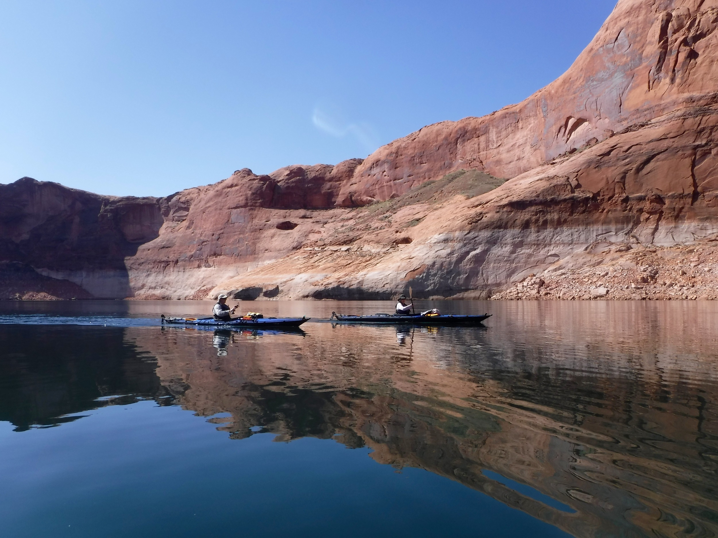
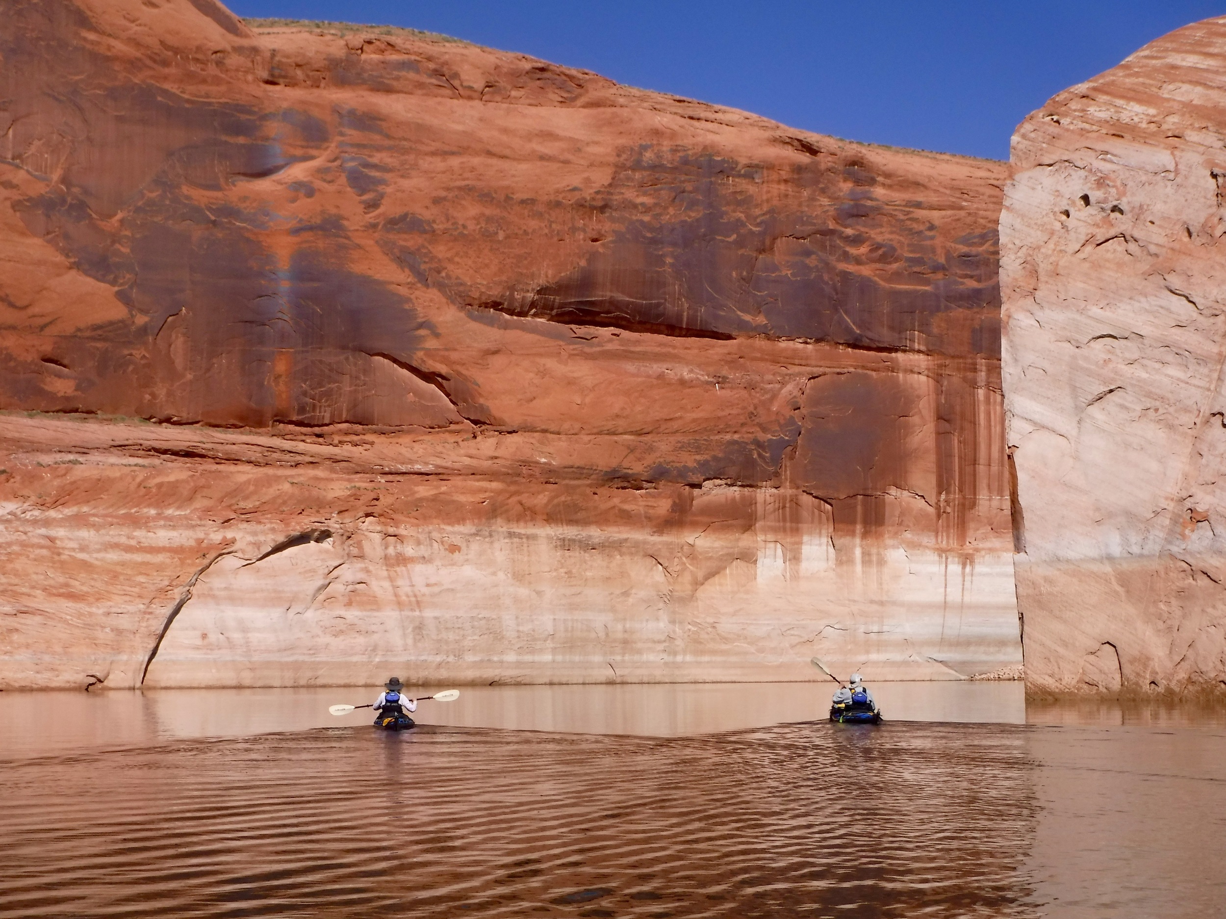
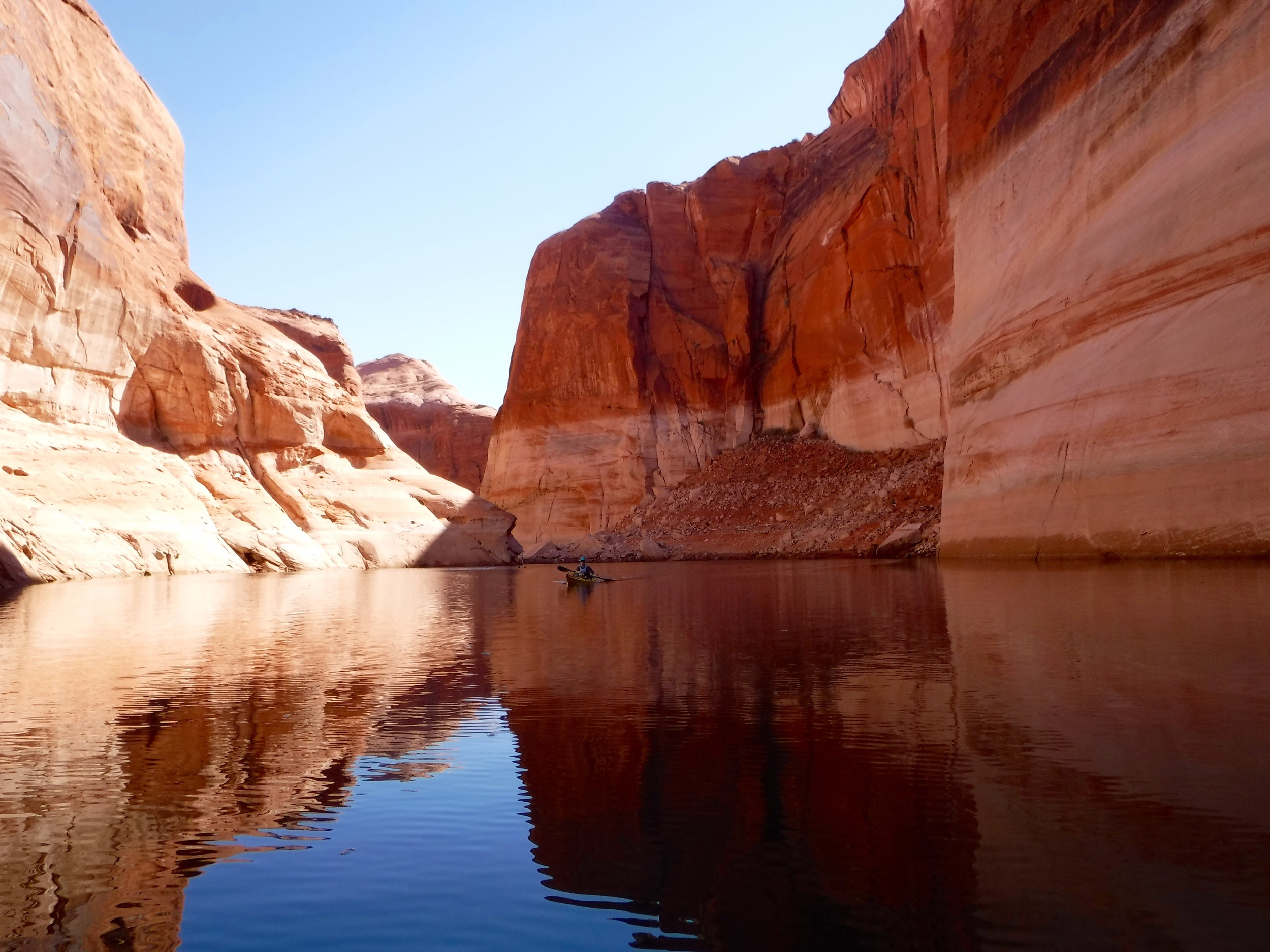
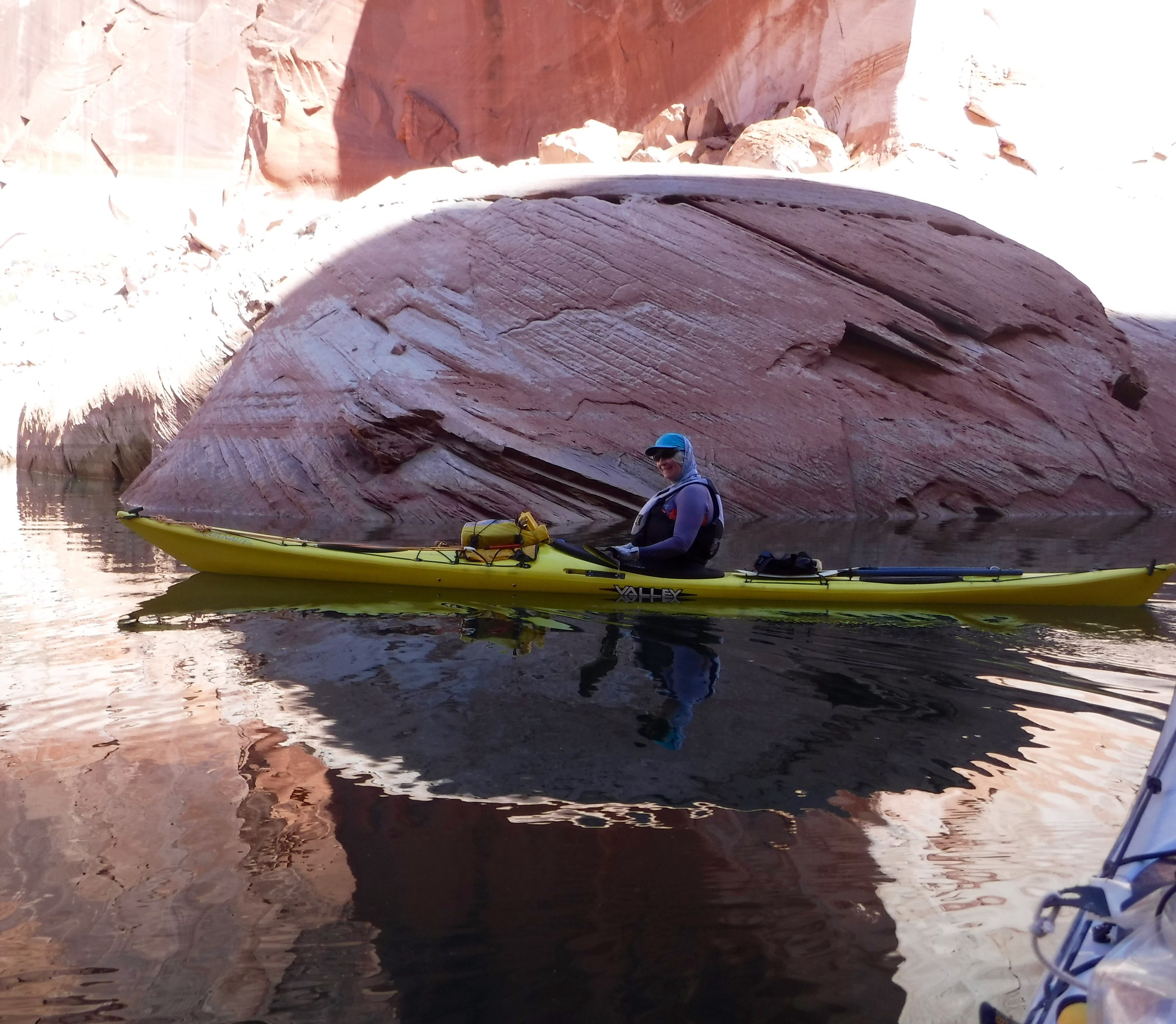
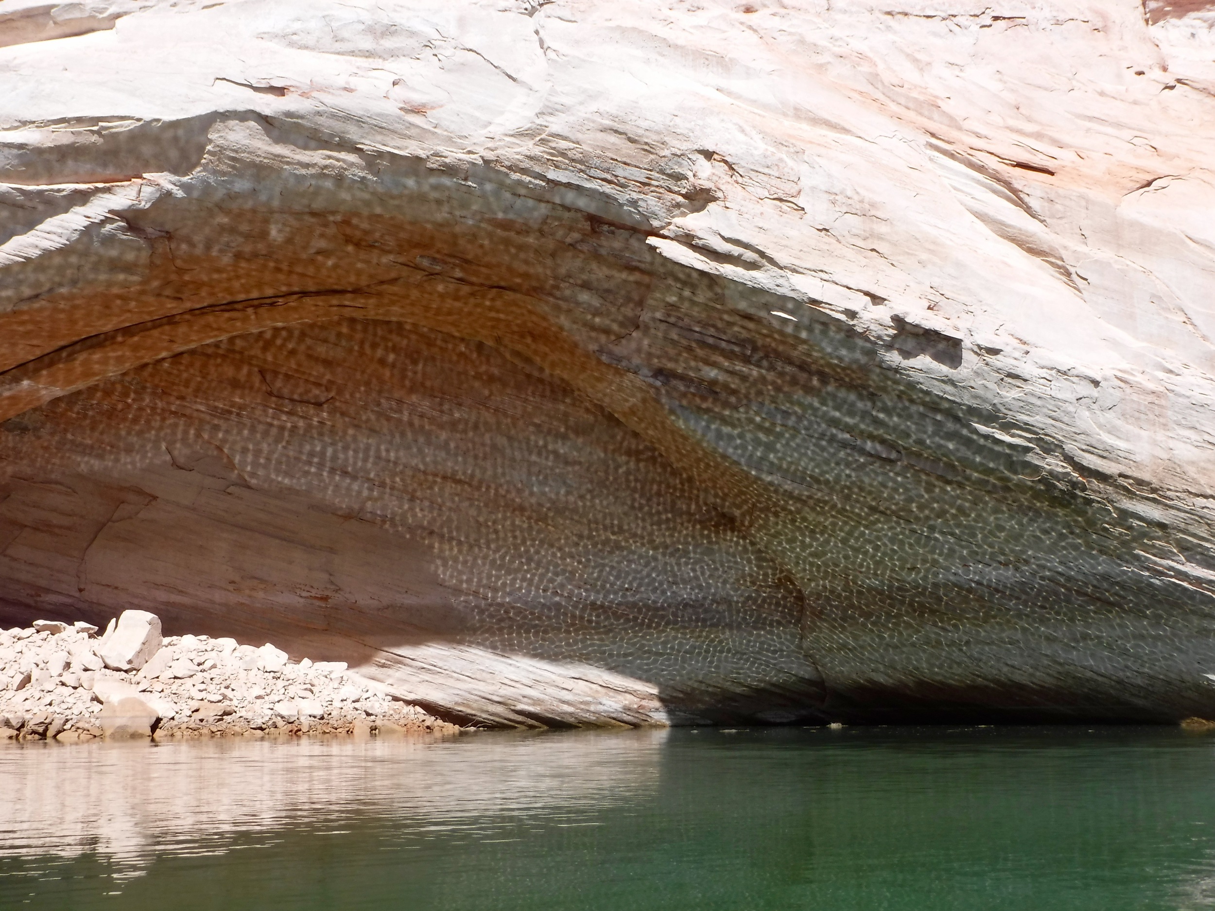
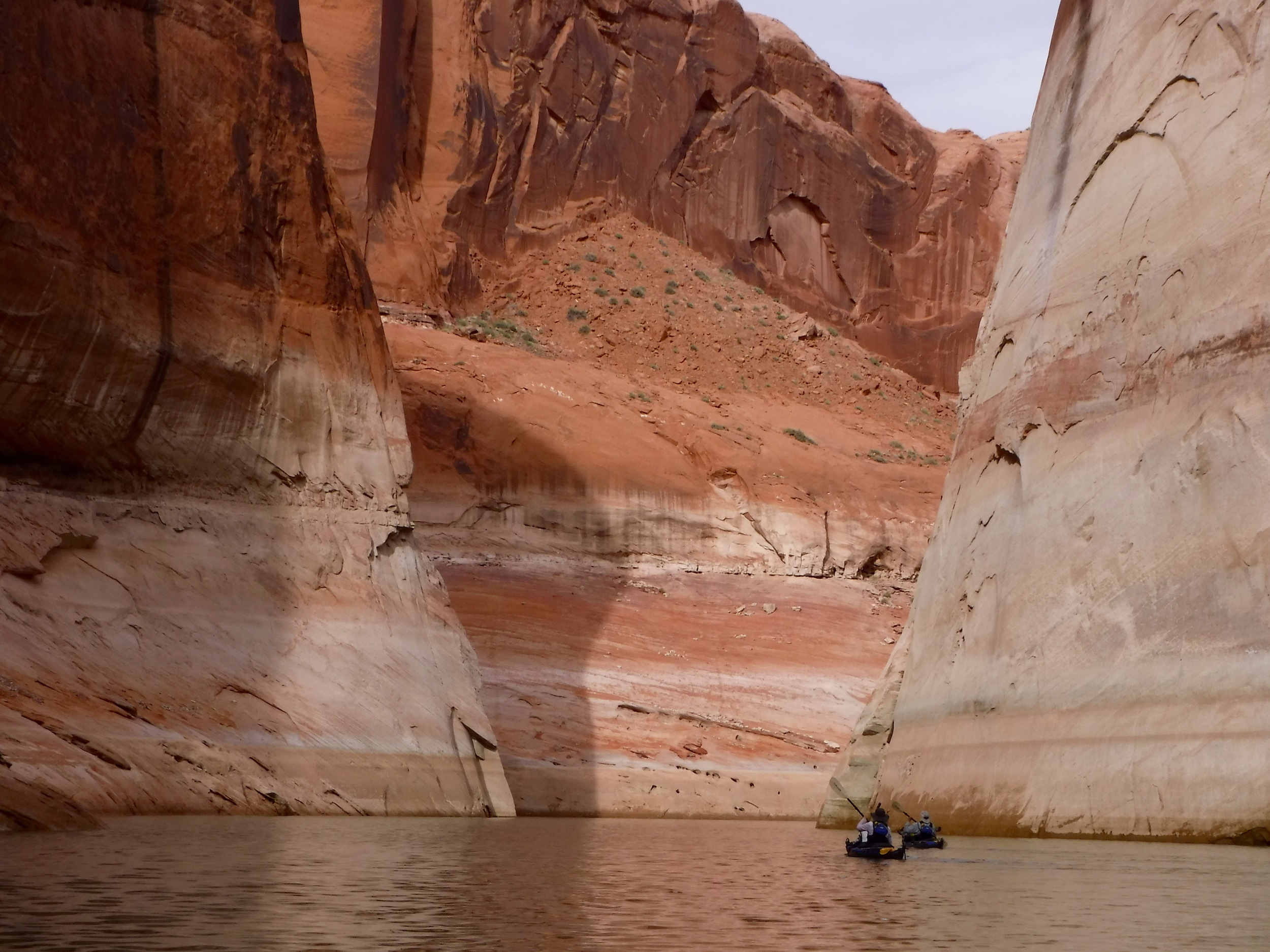
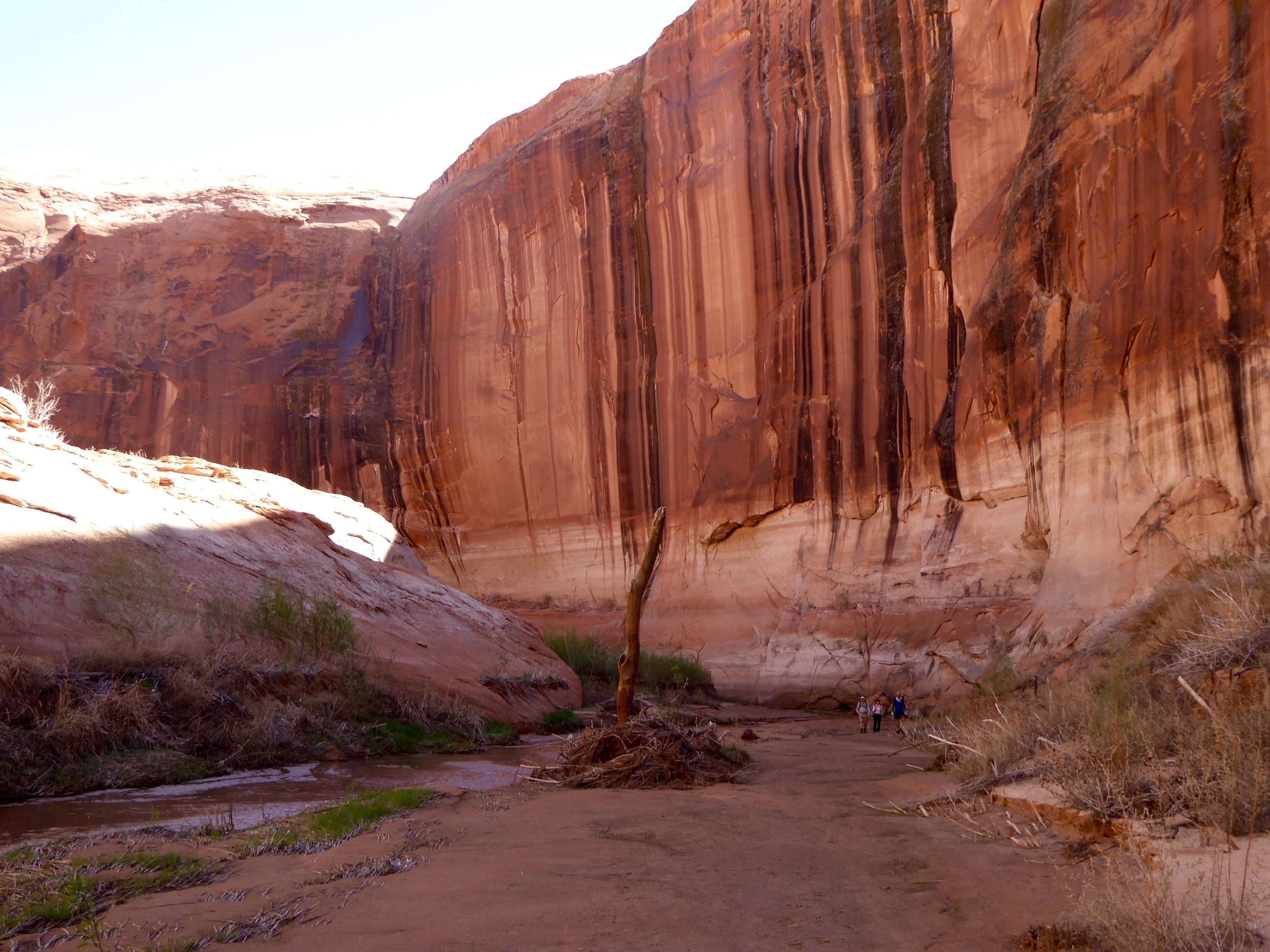
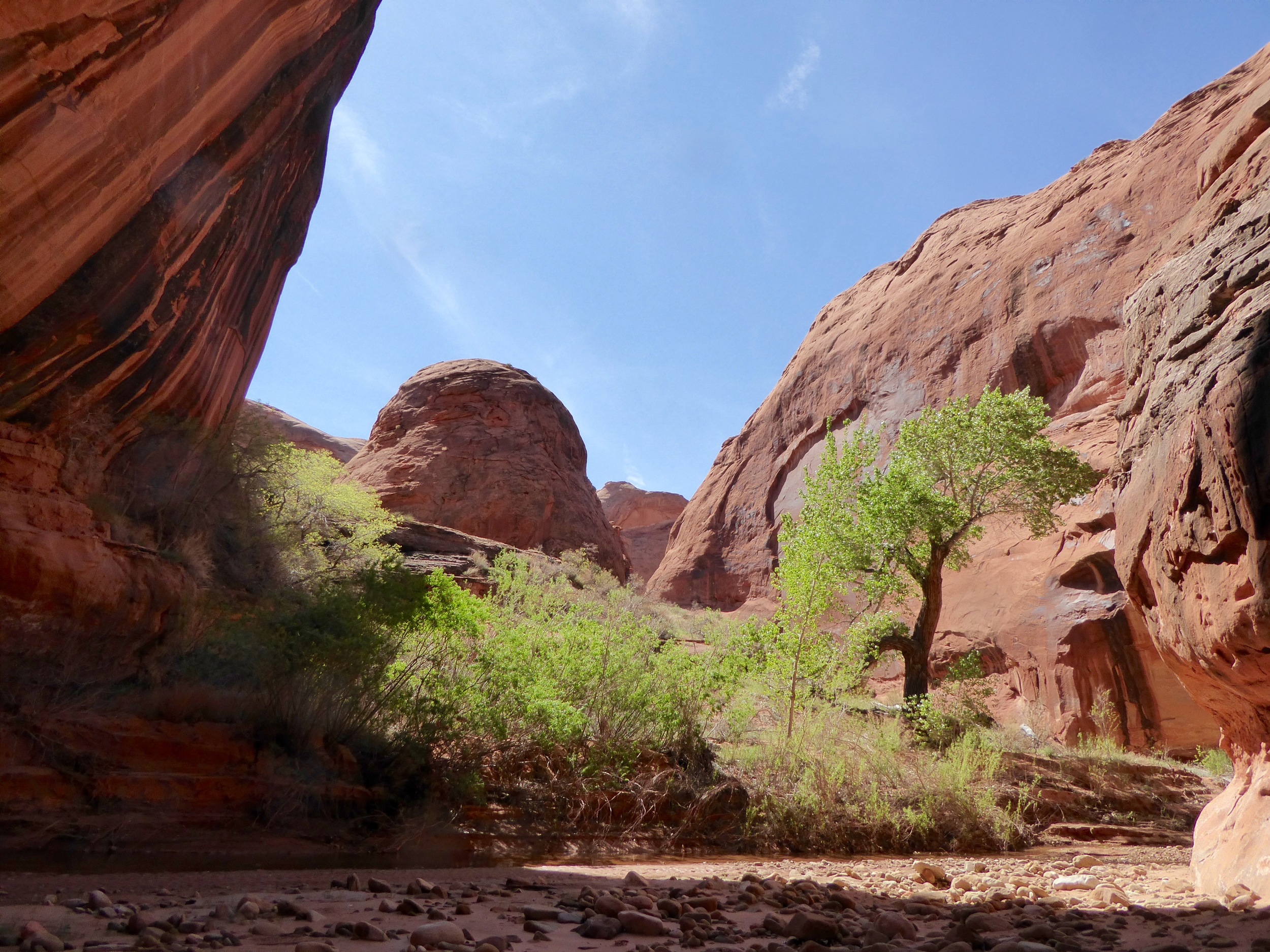
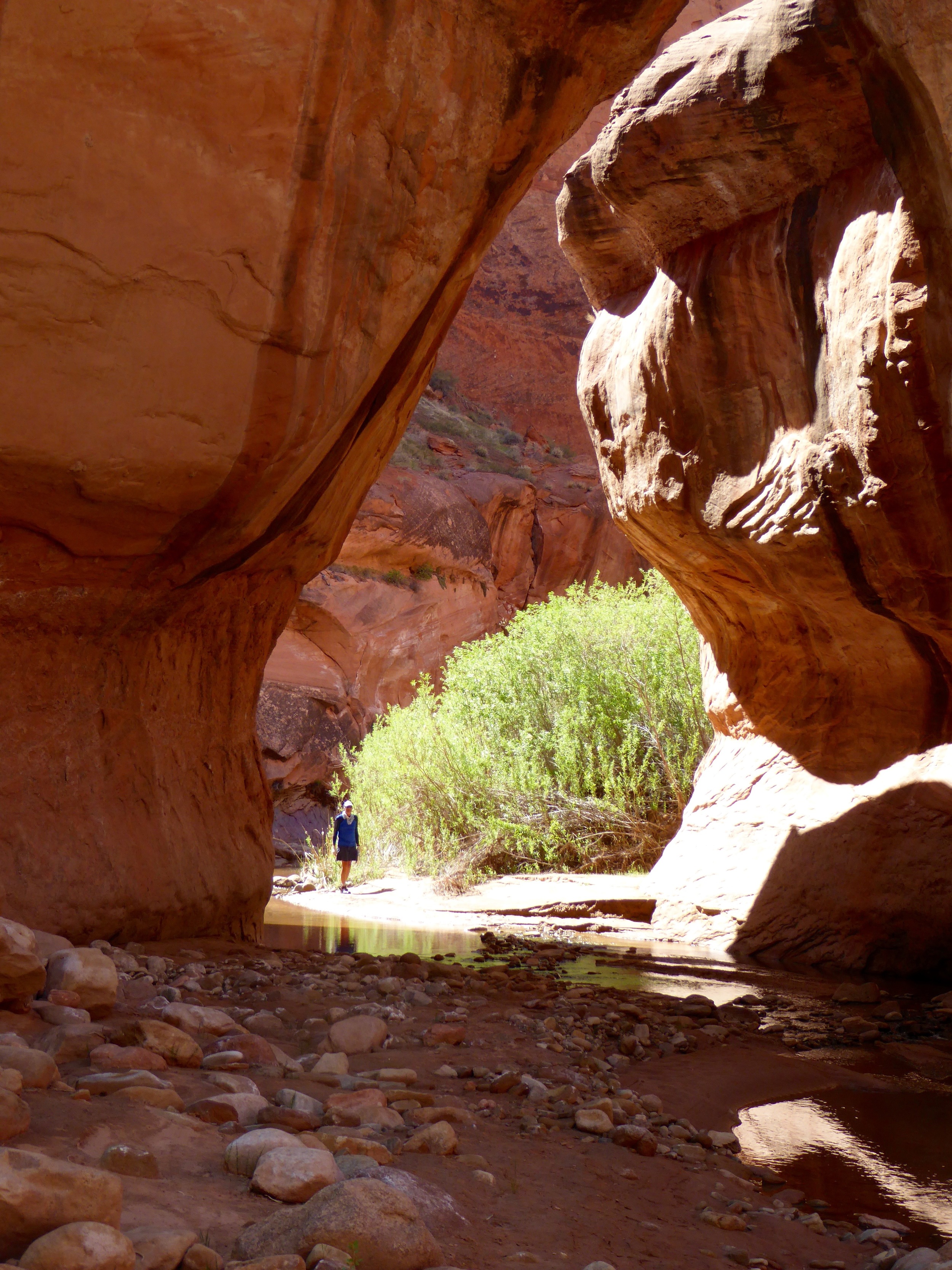
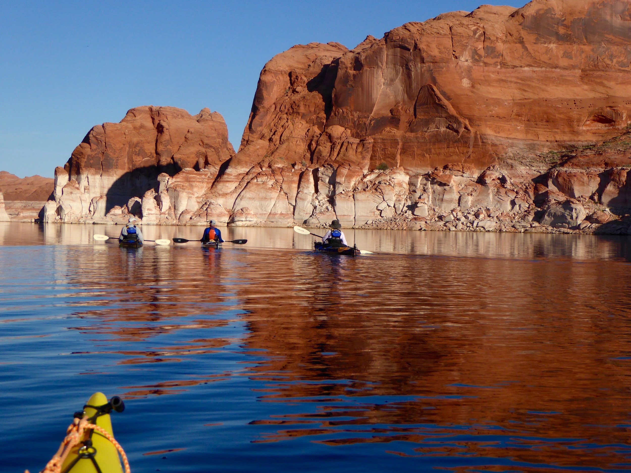
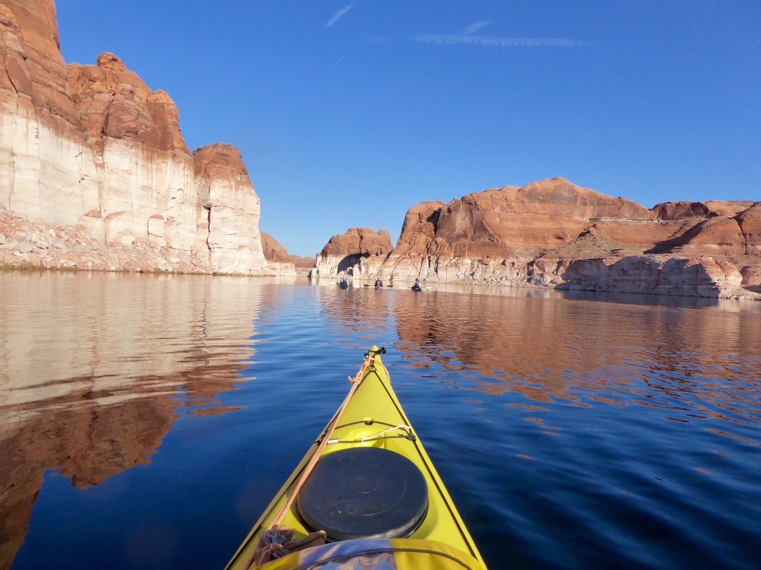
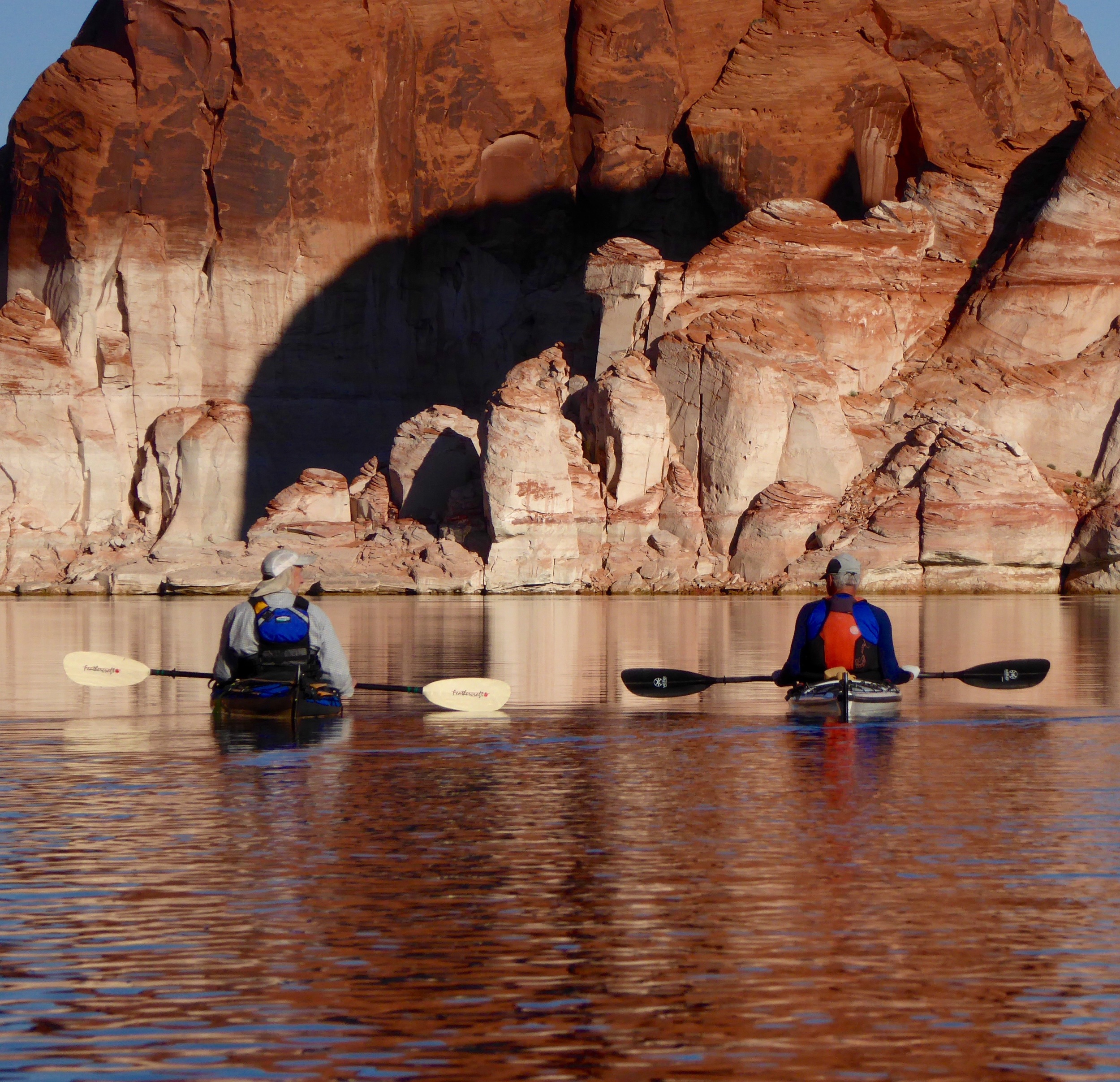
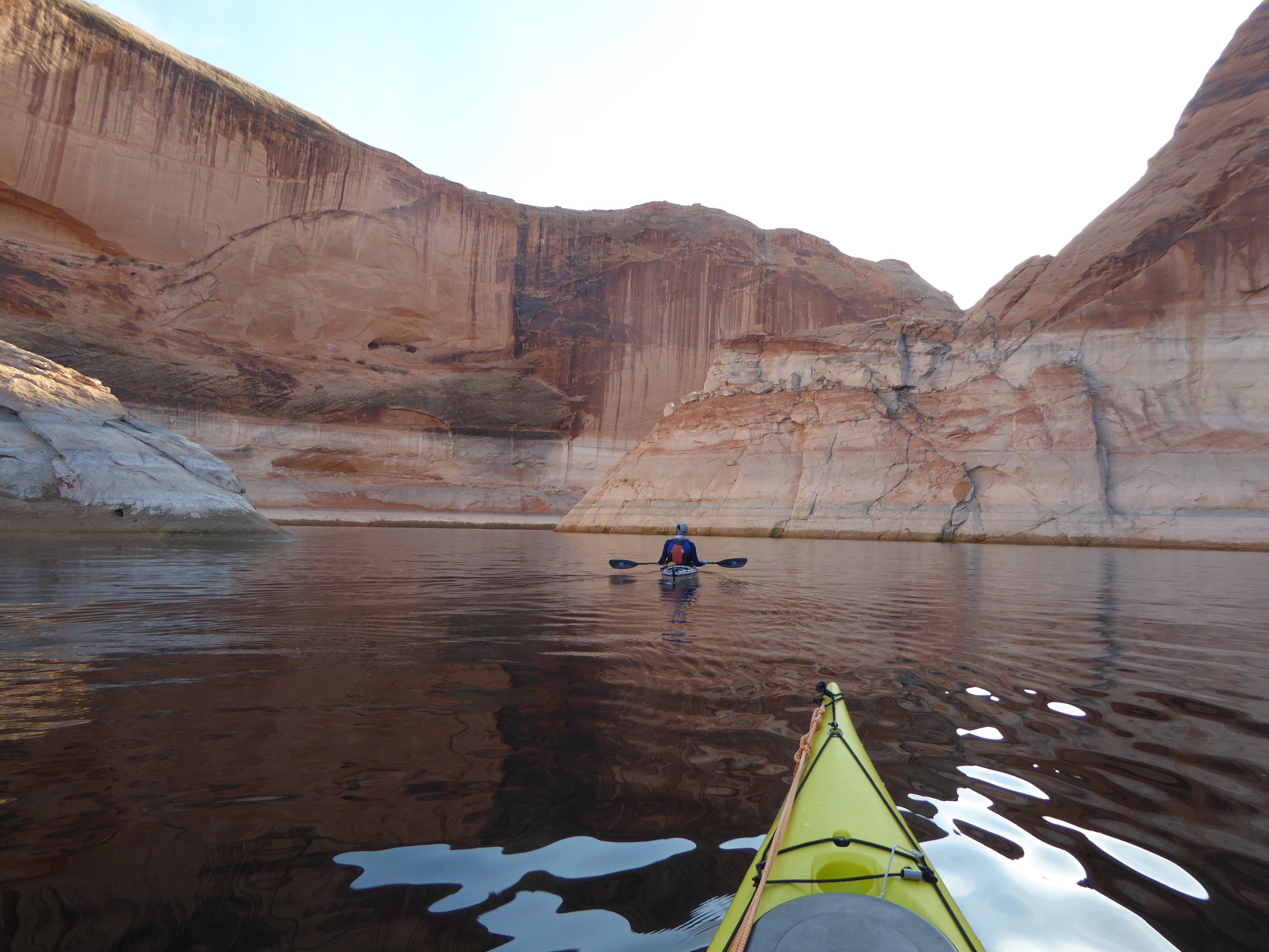
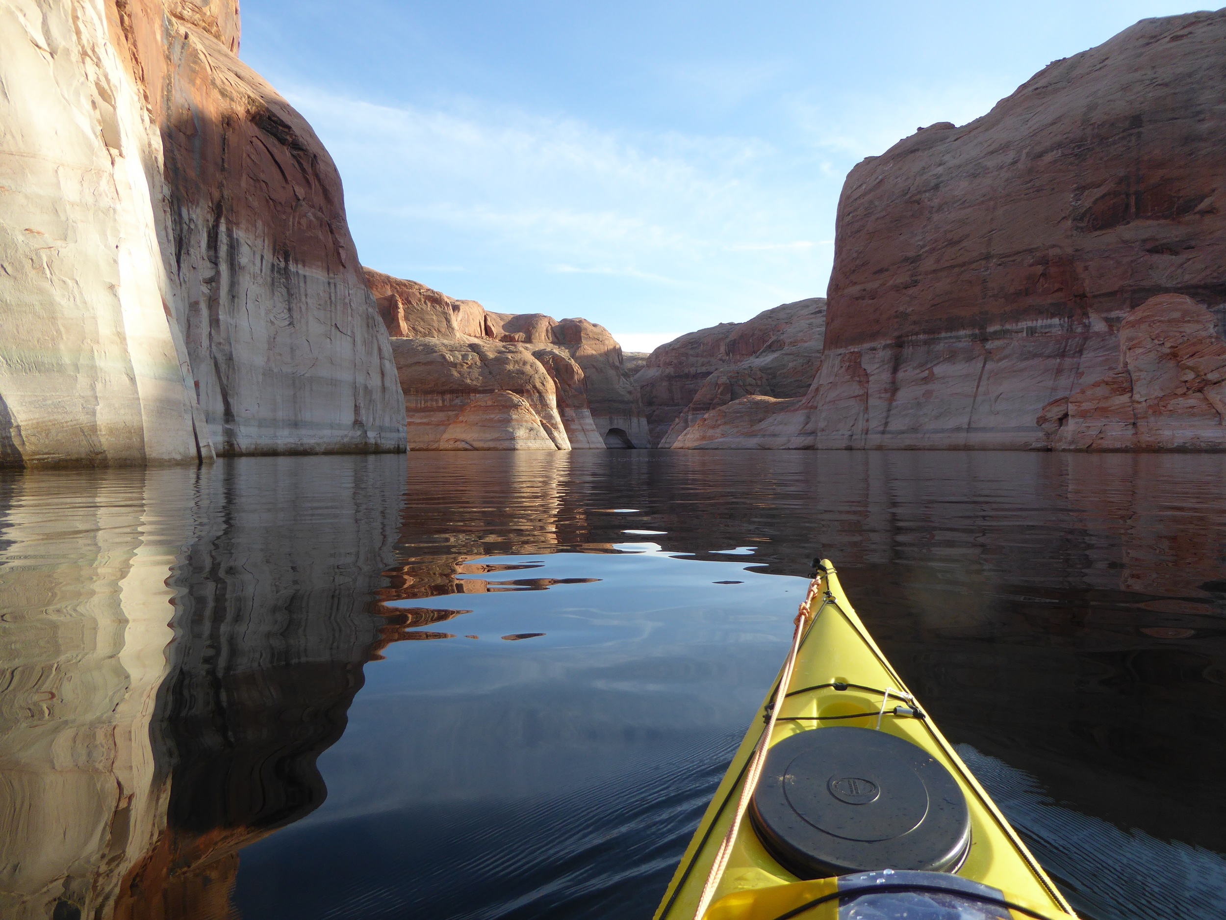
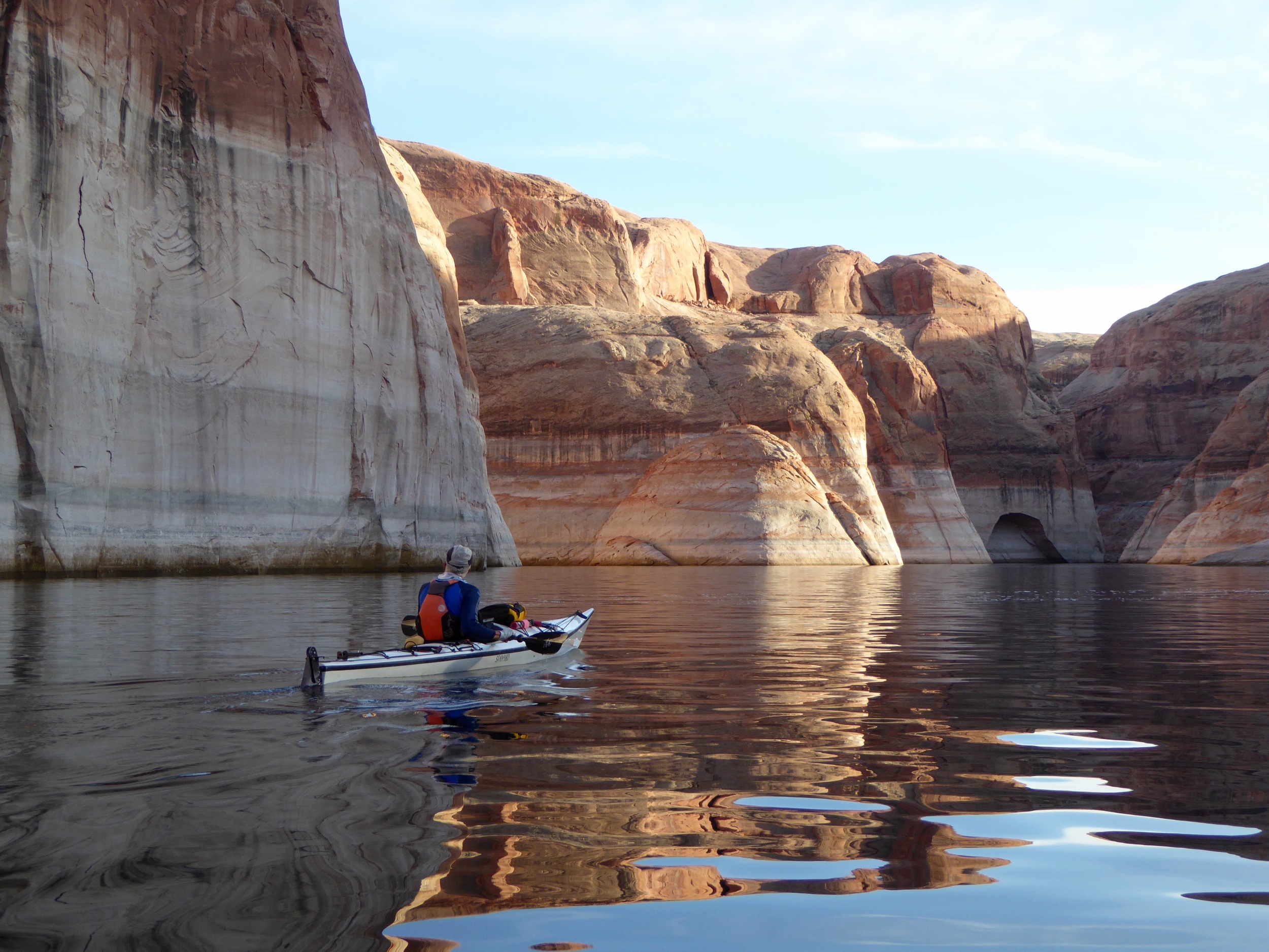
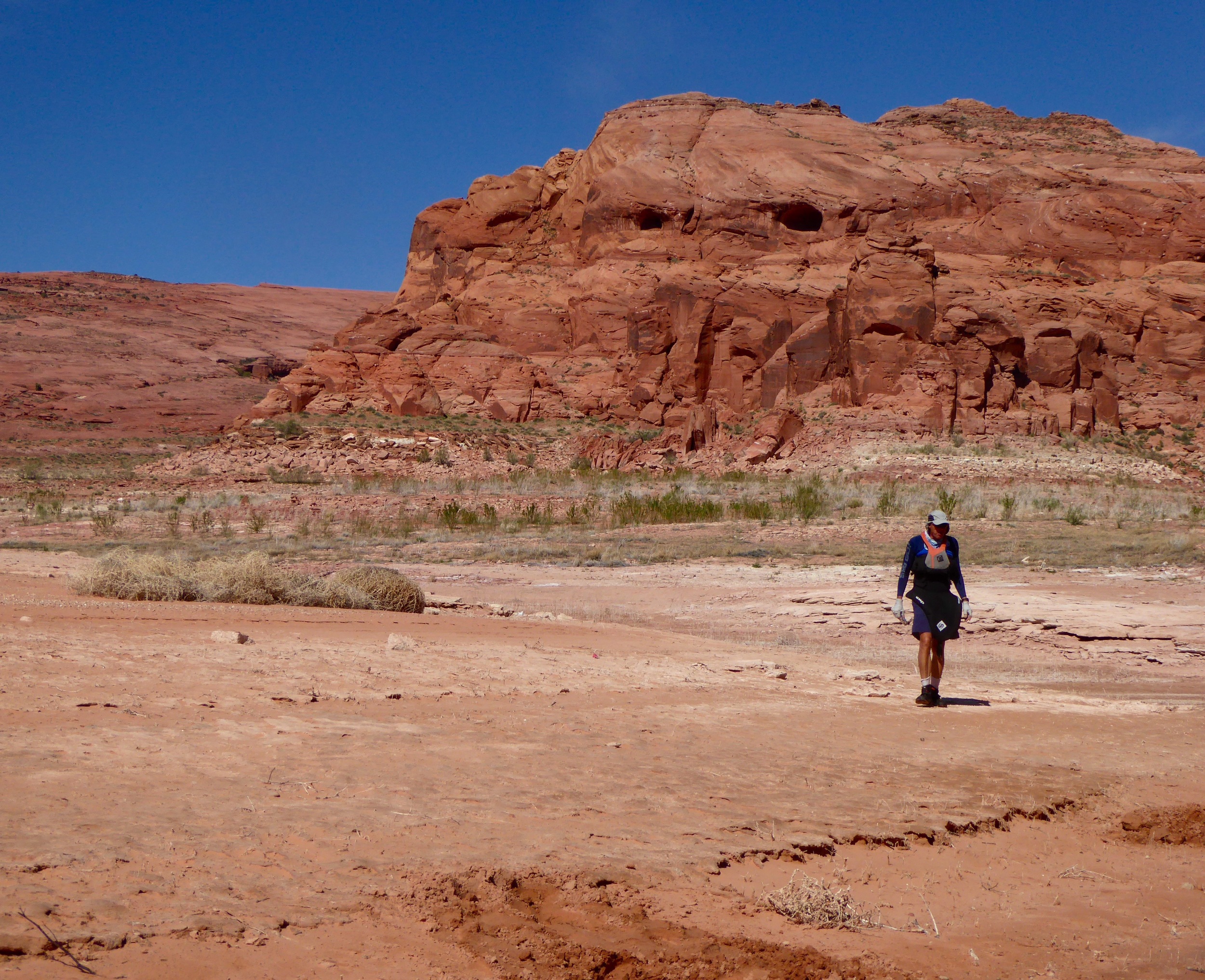
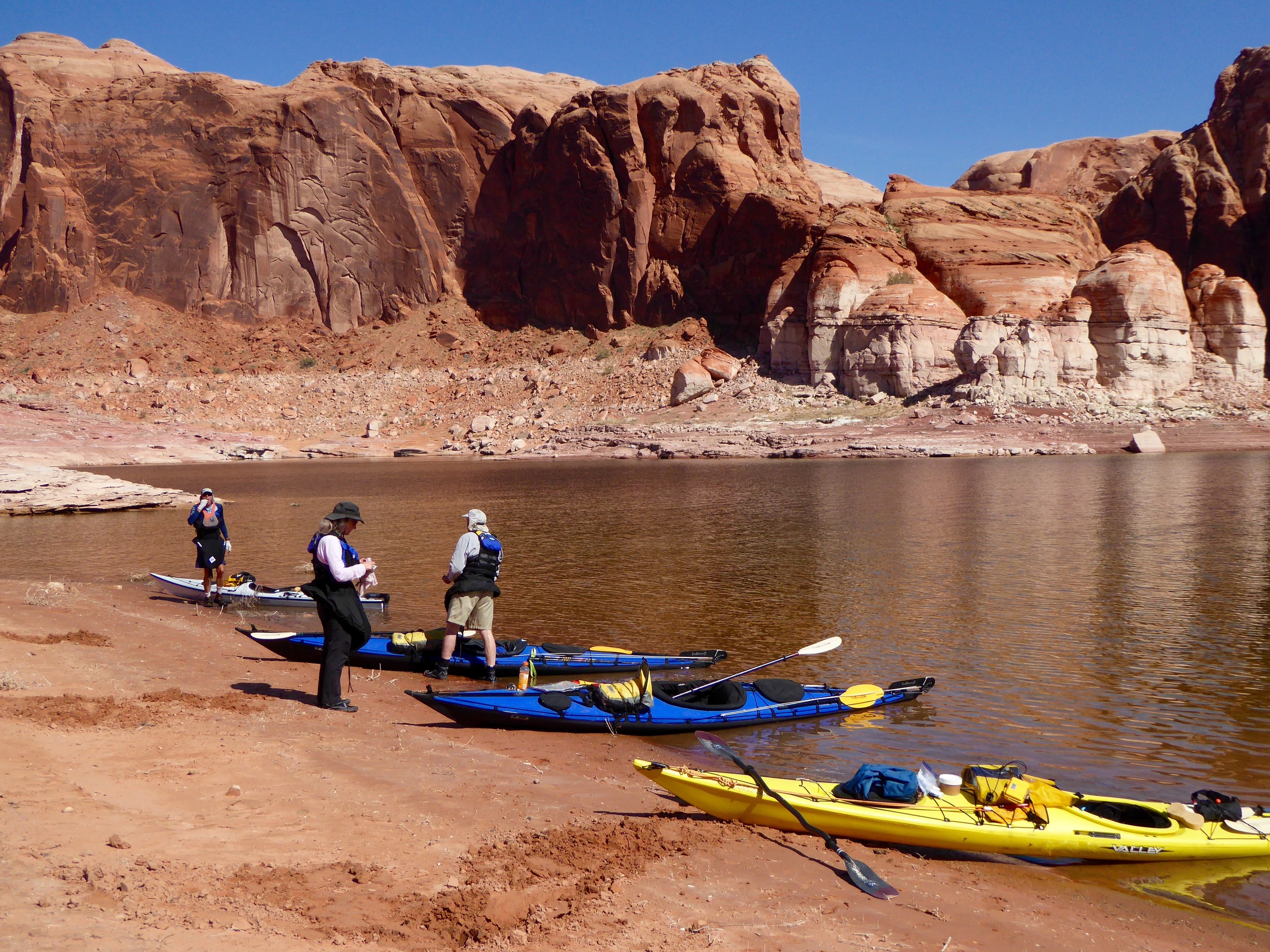
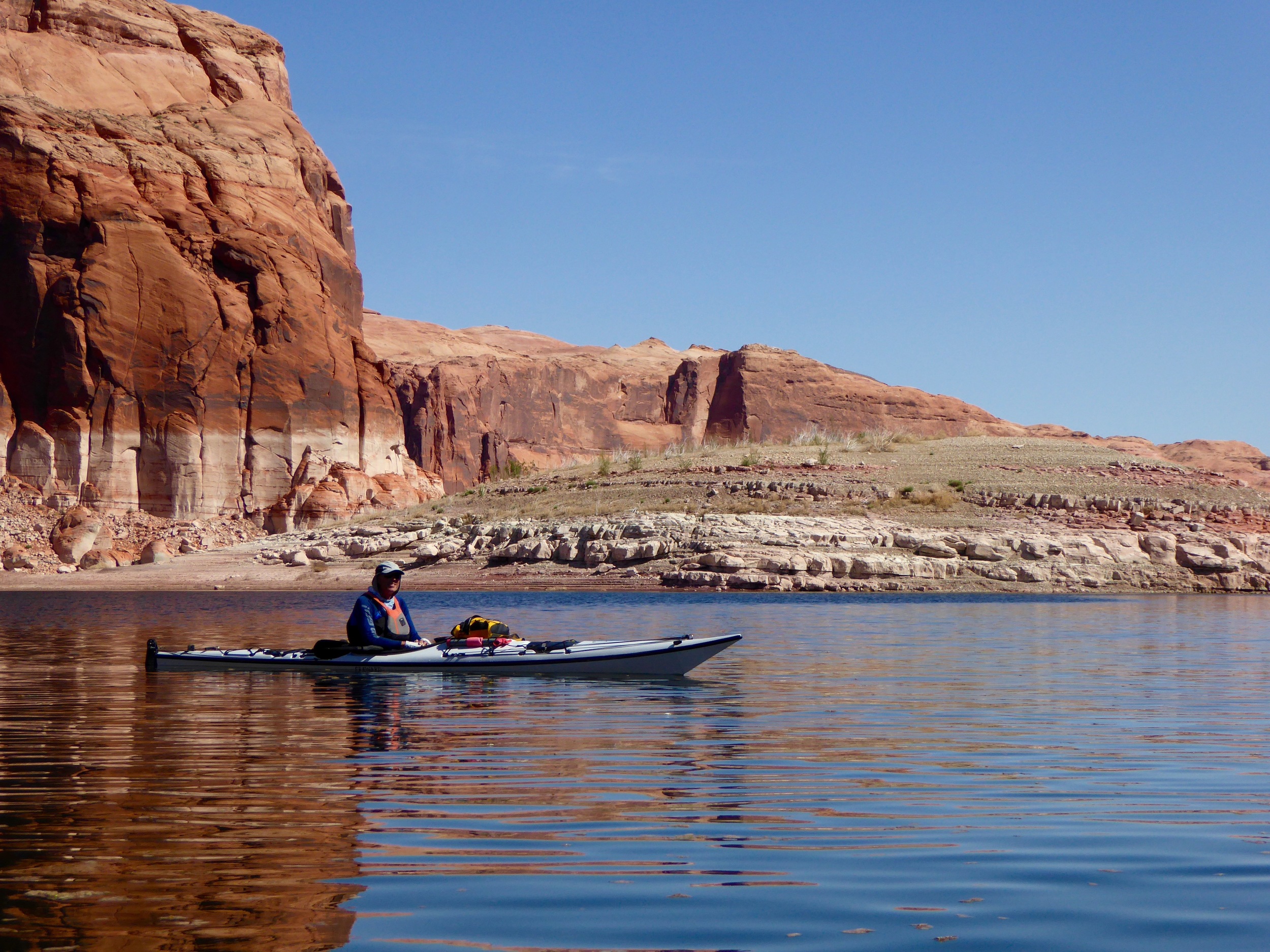
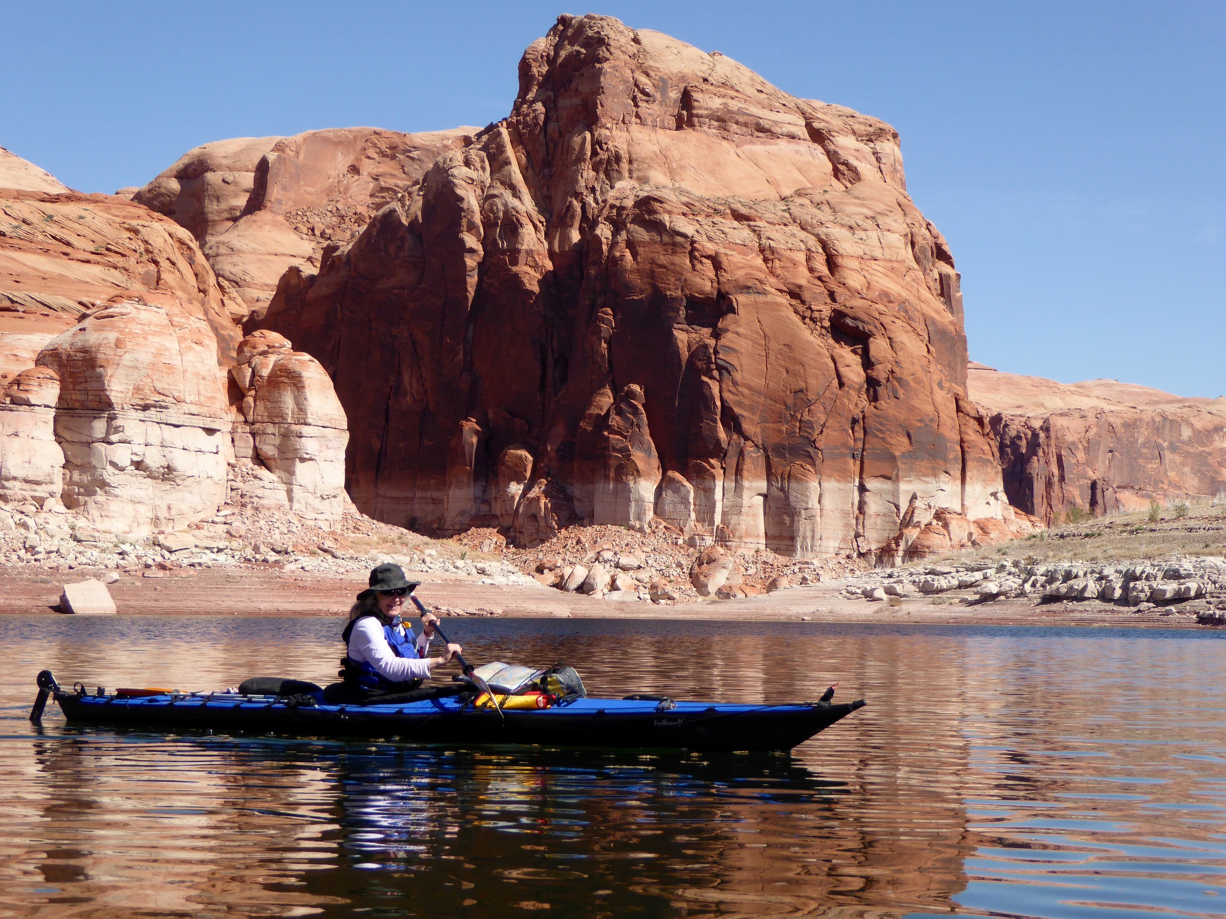
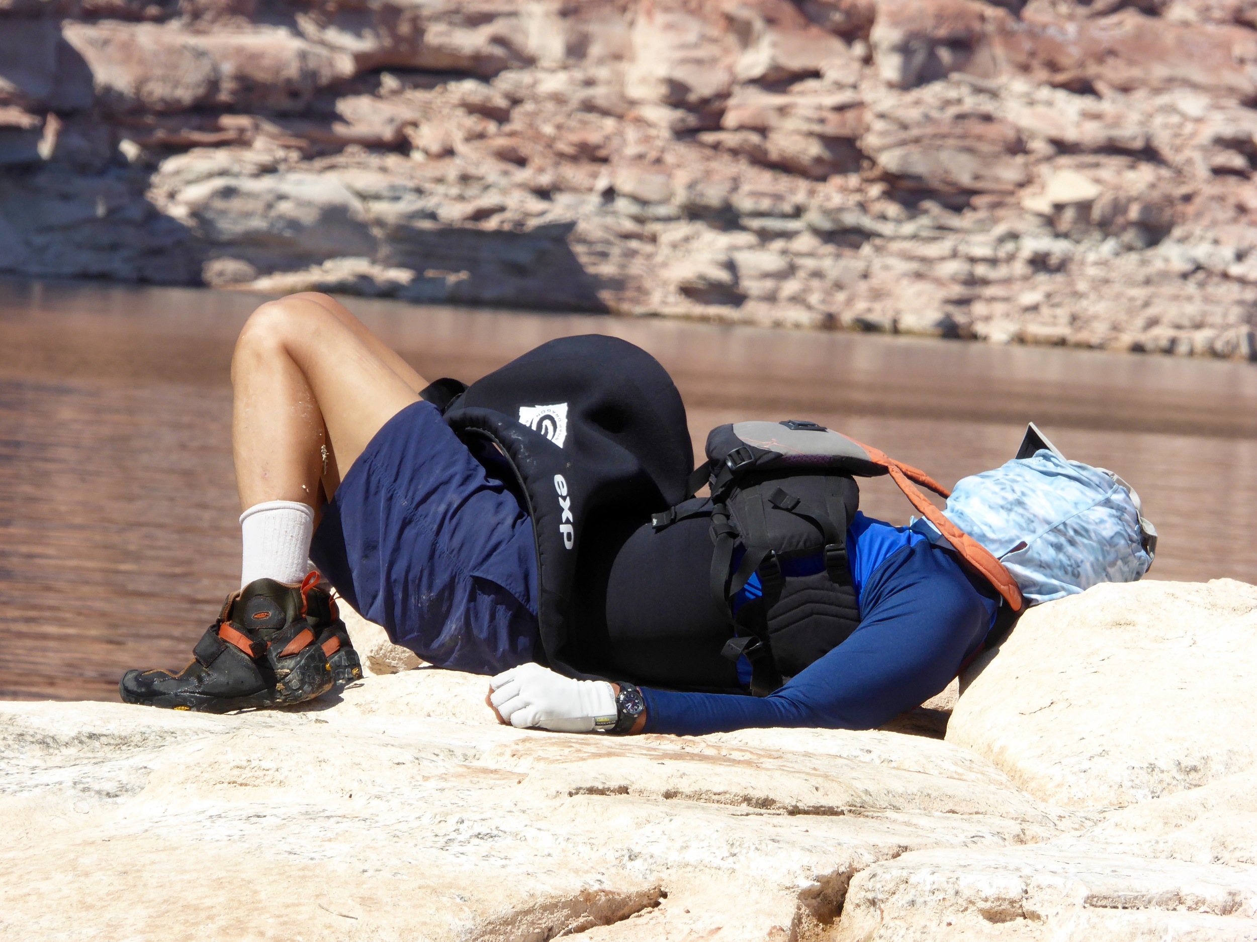
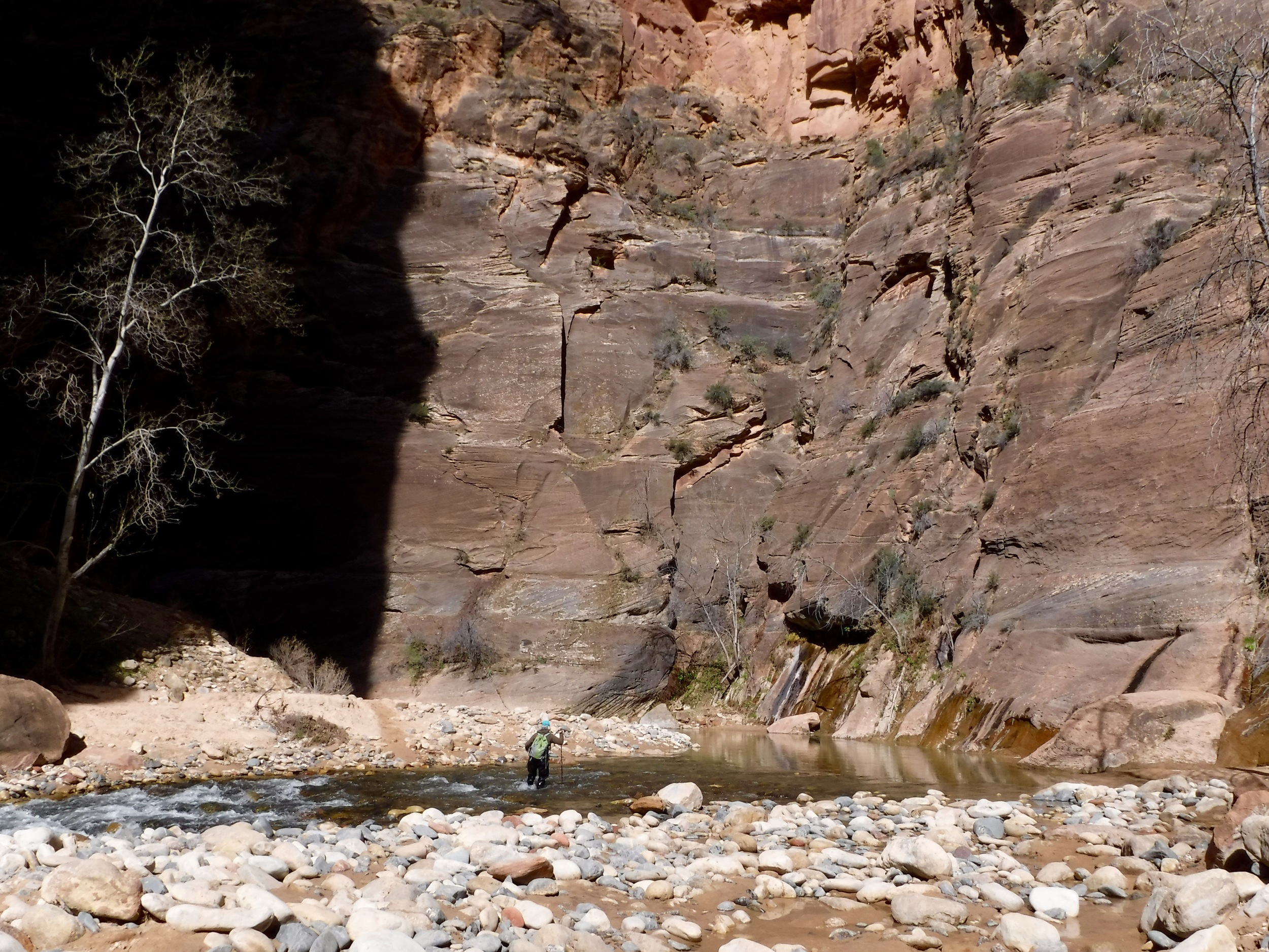
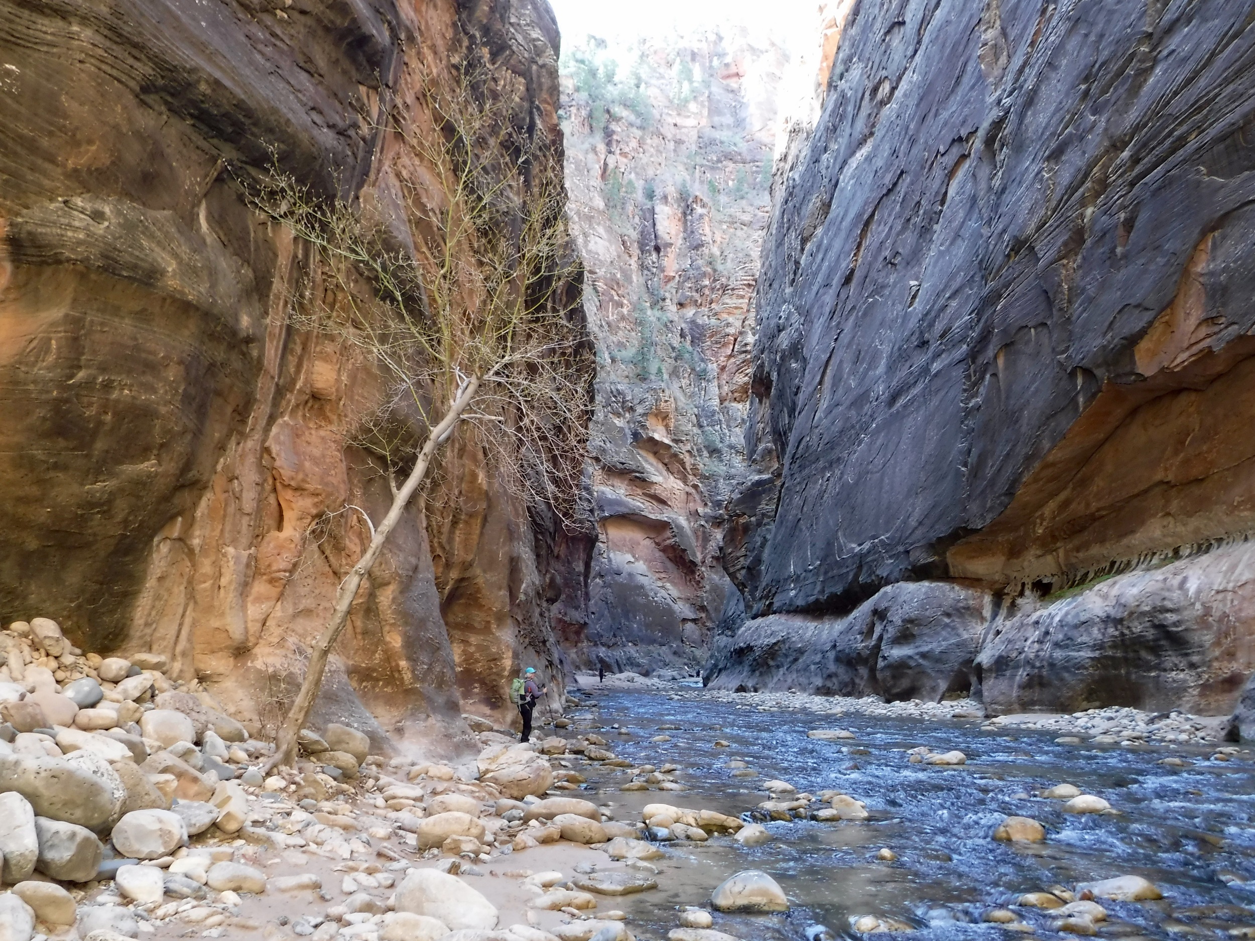
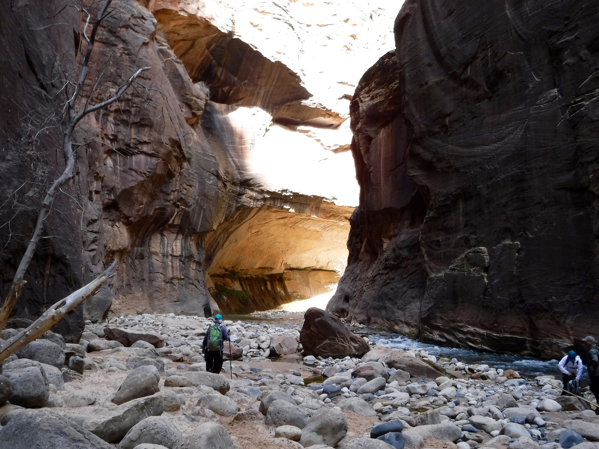
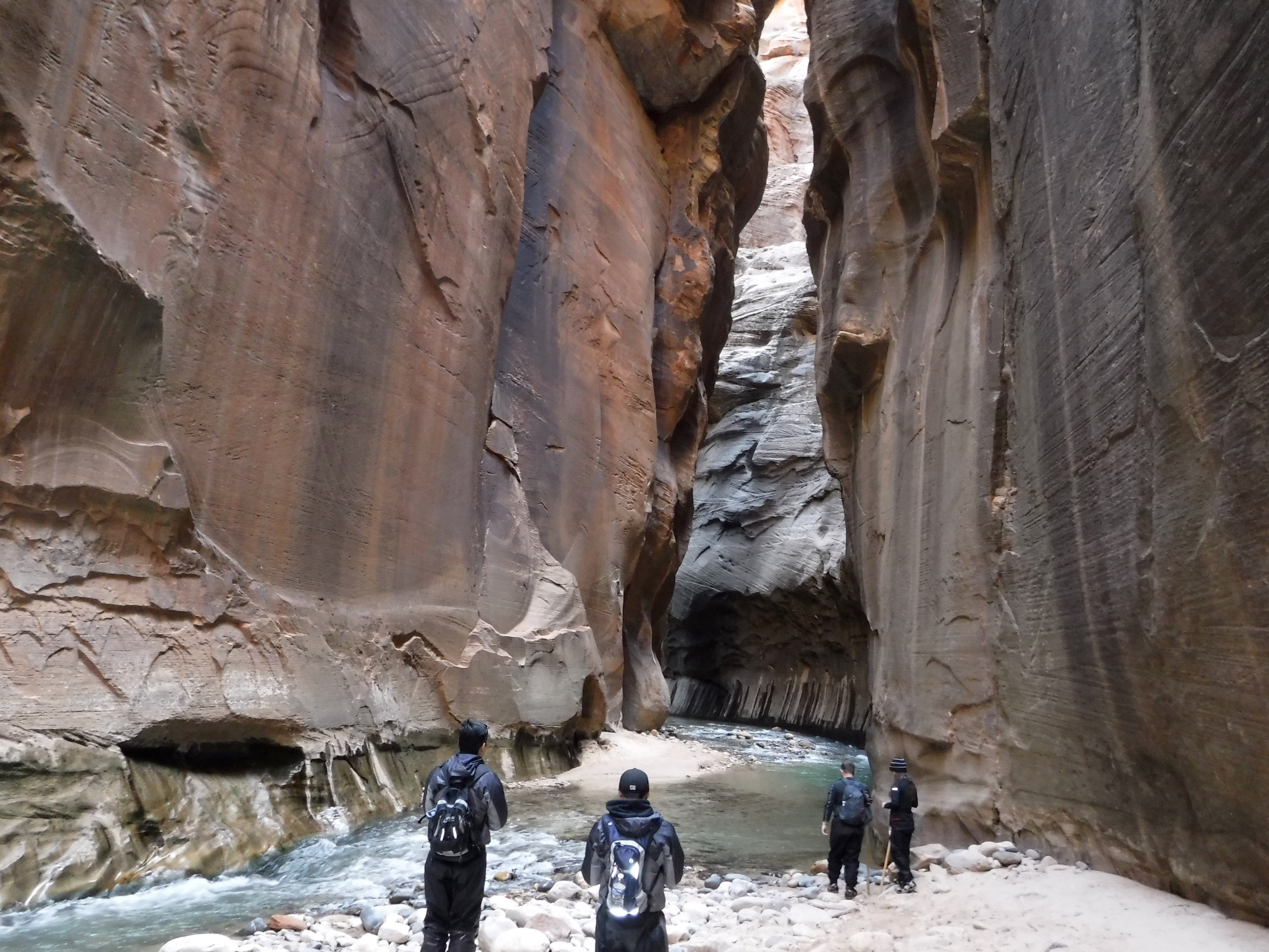
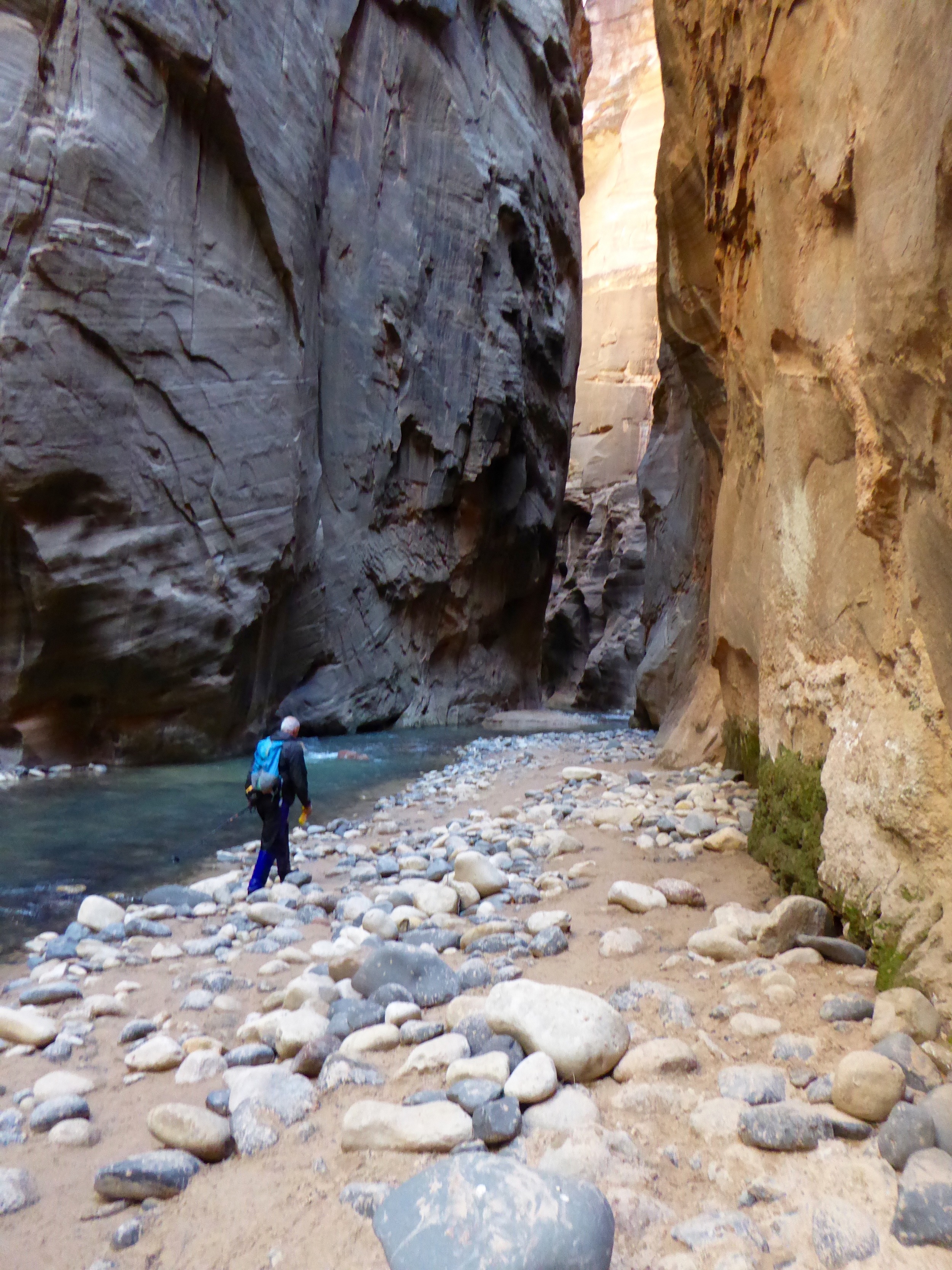
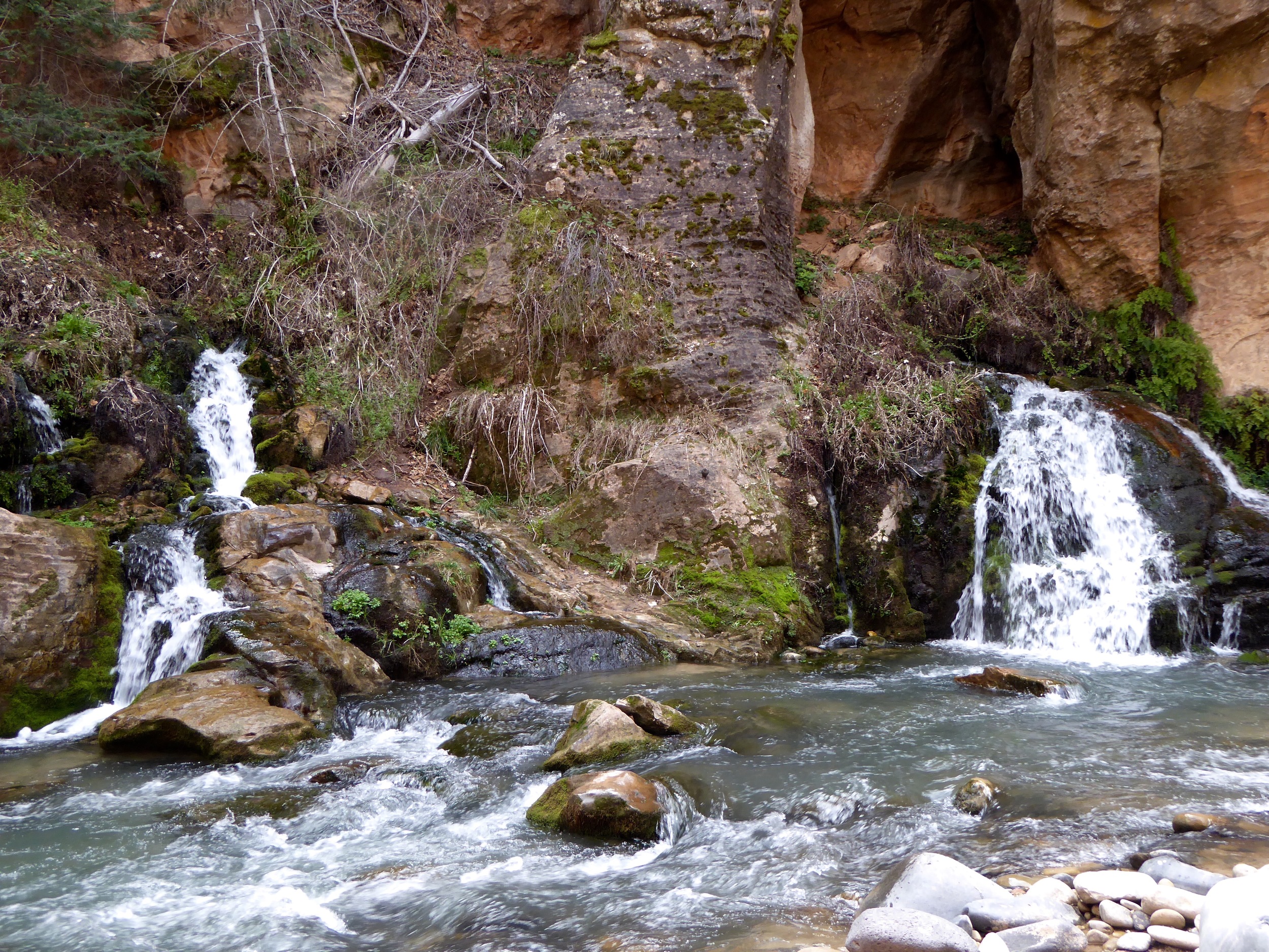
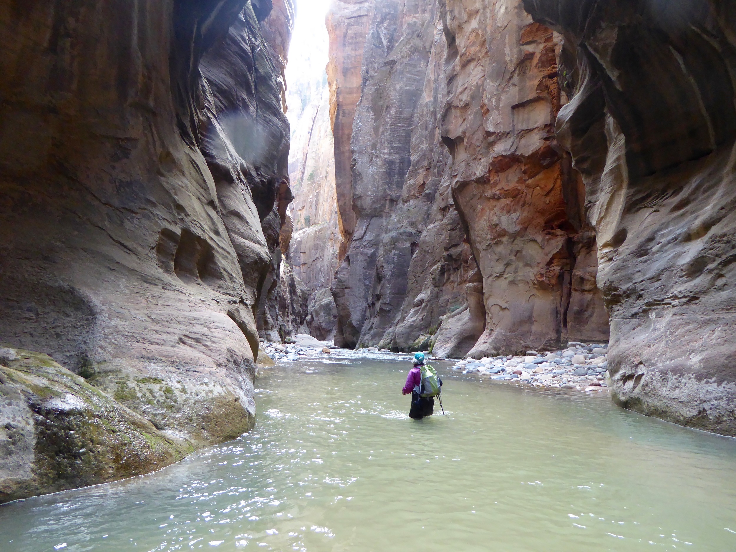
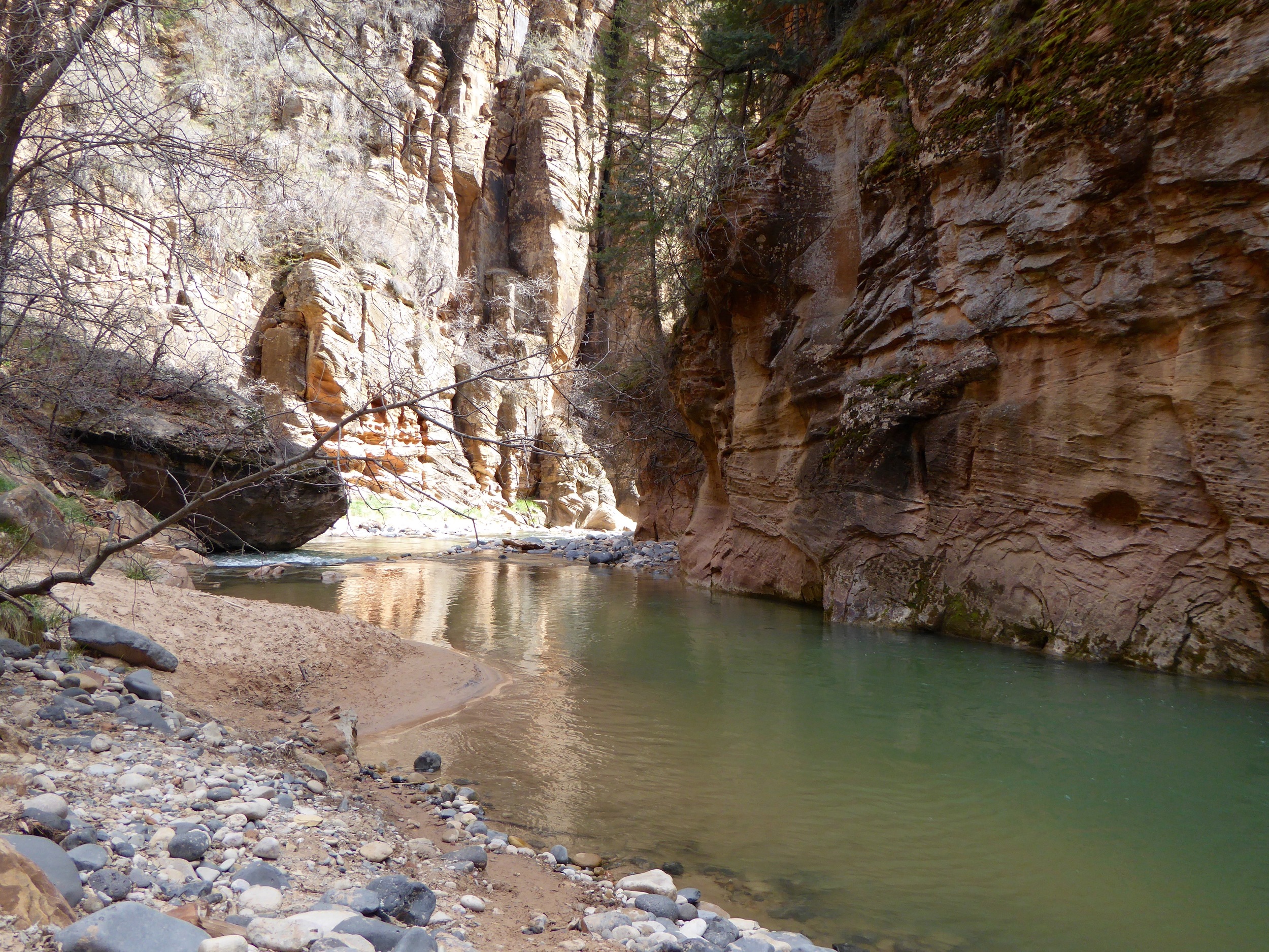
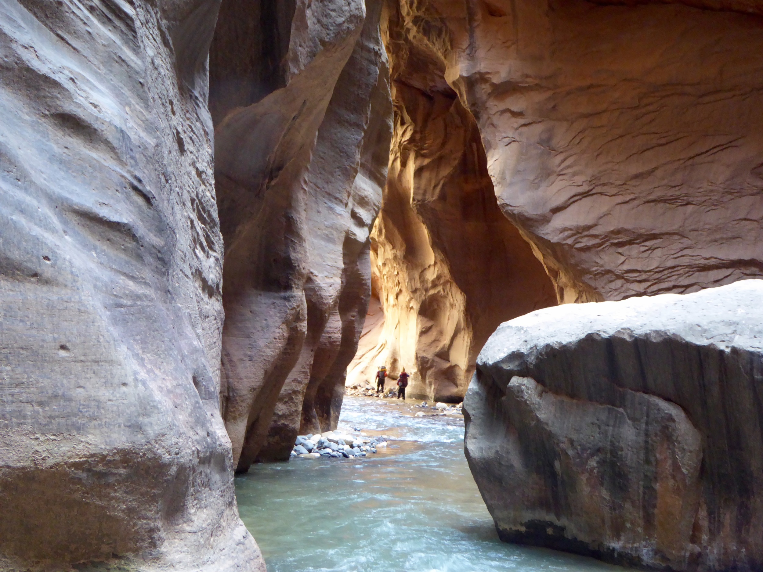
On the way to Lake Powell after having spent the winter in Baja, we decided to take s detour to Zion National Park. We arrive after dark and the campground is packed.  We find a place to park and quickly are sleeping.  In the morning we check at the Park Headquarters to see what the water level is at for the Virgin River.  A good level means that we can hike up the Narrows.  We have our drysuits, wet shoes and trekking poles, and the water level is good. The only way to get to the trailhead for the Narrows is by shuttle bus. We load the bus with other folks who are dressed like us. Most folks do a shallow wade about a mile up the river to the impressive narrows,  With our gear we can go about 5 miles up river. The water in some places is up to our chest.  The water is murky in places and the bottom often filled with moving rocks.  Do not think high water levels would be fun. Actually at certain levels this route is closed, especially in the spring when the rains frequently occur. There are warnings to be aware of flash floods, once in the canyon it would be impossible to climb up if the river rose. It is a beautiful hike, glad we took the detour.