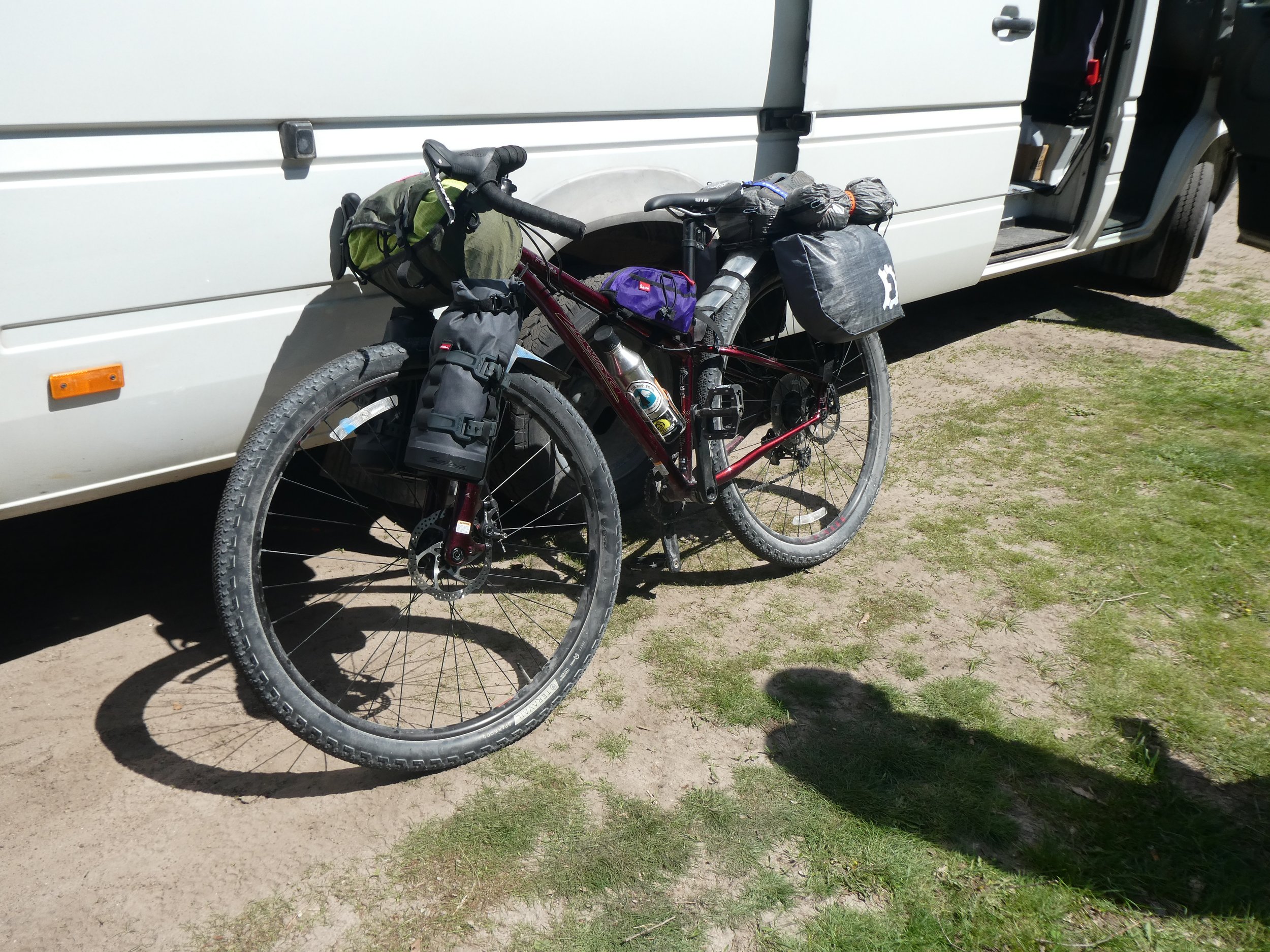
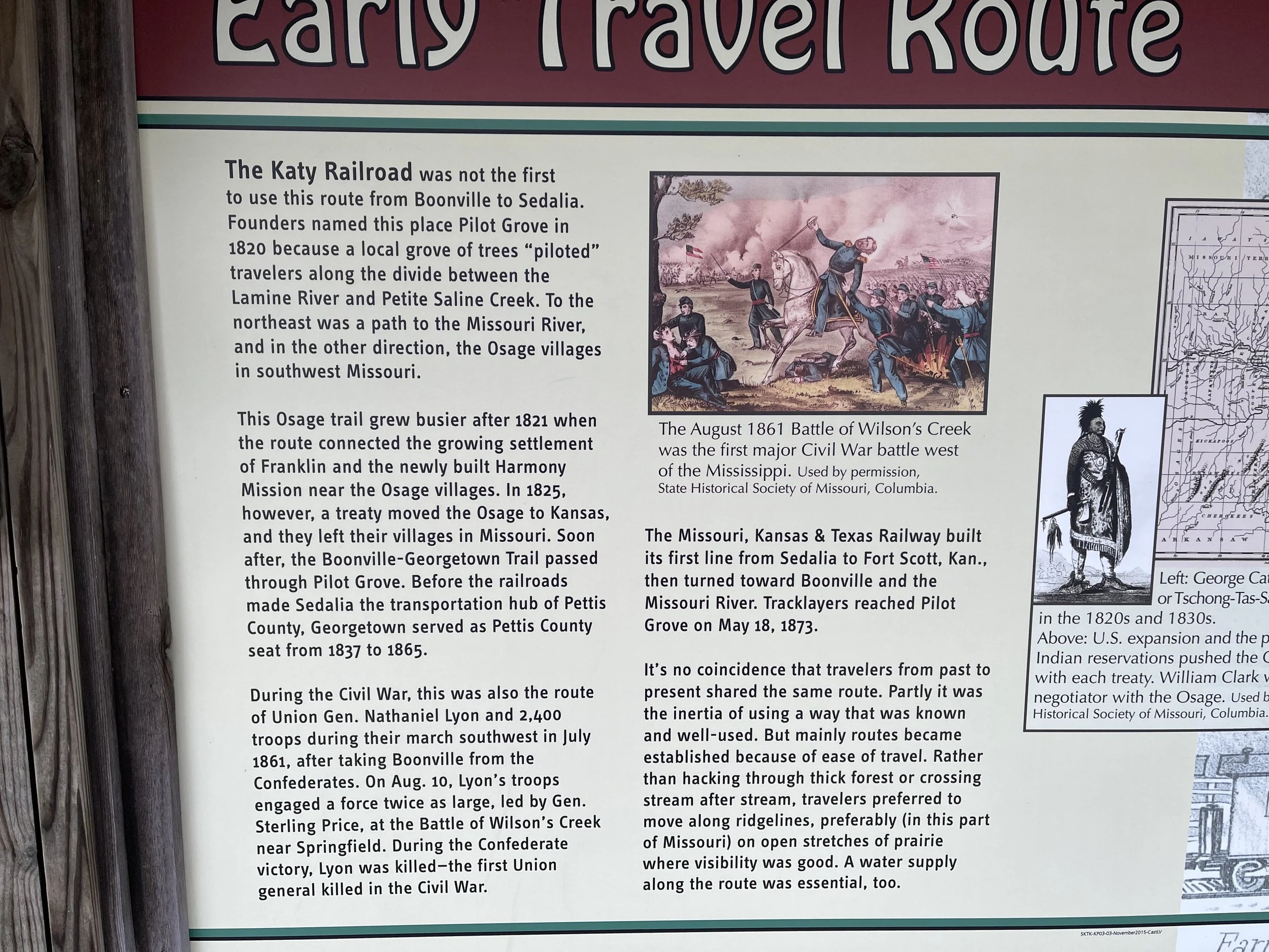
The Katy Trail is a 237 mile trail stretching across most of the state of Missouri. We have been aware of the Rails to Trails organization for several years and this trail kept coming up as one of the top 10. Wanting to try out our new gravel bikes we invited our friend Mary jo to join us for a ride on this trail. Mary drove her van and we had ours allowing us to be creative in how we did shuttles to ride all of the trail and then some. Over half of the trail’s length follows Lewis and Clarks path along the the Missouri River where you ride beneath towering river bluffs. The rest of the trail meanders through farmland and small towns. We took a snow day off to visit the Capitol of Missouri in Jefferson City and a rainy day to visit Augusta one of the local towns that has become a wine and artist destination. The Katy Trail is managed by the Missouri State Parks which does a fantastic job of maintaining the trails and rest areas along the way. There are many informative signs thru out the trail. We started our ride on April 14th.
We left Portland on the 8th of April, stopping over night at a rest area where we awoke to freshly fallen snow.

The morning was beautiful, but when Mary arrived a little later, the decision was to head south and hope to be in warmer temperatures. Soon the day warmed up a little and we camped at Three Island State Park in Idaho.
Looking at the forecast, we decided that continuing on a southern direction was to our advantage. Today we drove thru Salt Lake City and ended up camping on Horse Canyon road on BLM land, a campsite found on freecampsites.net We took a short ride on our bikes up a paved road before calling it a day. That night we pulled out a map and decided that we would check out route 50 to cross Colorado. None of us had been to The Black Canyon of the Gunnison since it was on our route we decided to check it out and do a hike.

The canyon was beautiful, but some of the trails were still covered in snow so we decided to move on.
Going up and over Monarch Pass was slow going as our brakes continue to give us problems. We made it to the town of Salida where we spent a relatively quiet night in the Walmart parking lot.
Leaving Salida we were treated to a beautiful drive going thru numerous canyons. As we headed into Eastern Colorado we made a stop at Bents’s Old Fort, a very well done historic monument of a busy trade post on the Sante Fe Trail.

It was easy to spend several hours here looking at all of the artifacts.

This was a very well organized wood working shop.
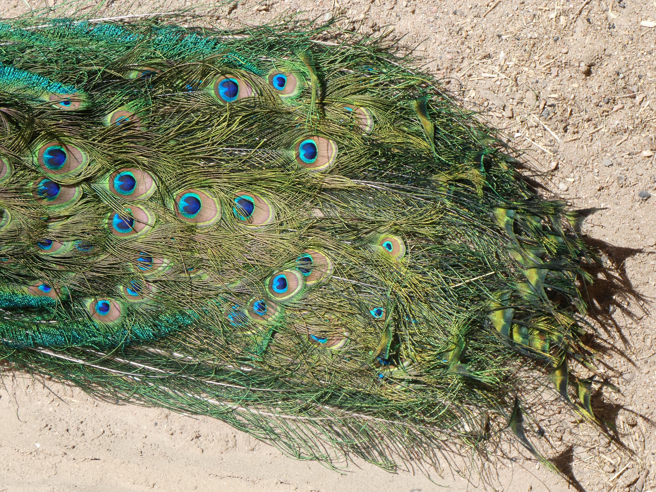
A local peacock resident was quite proud of its feathers.
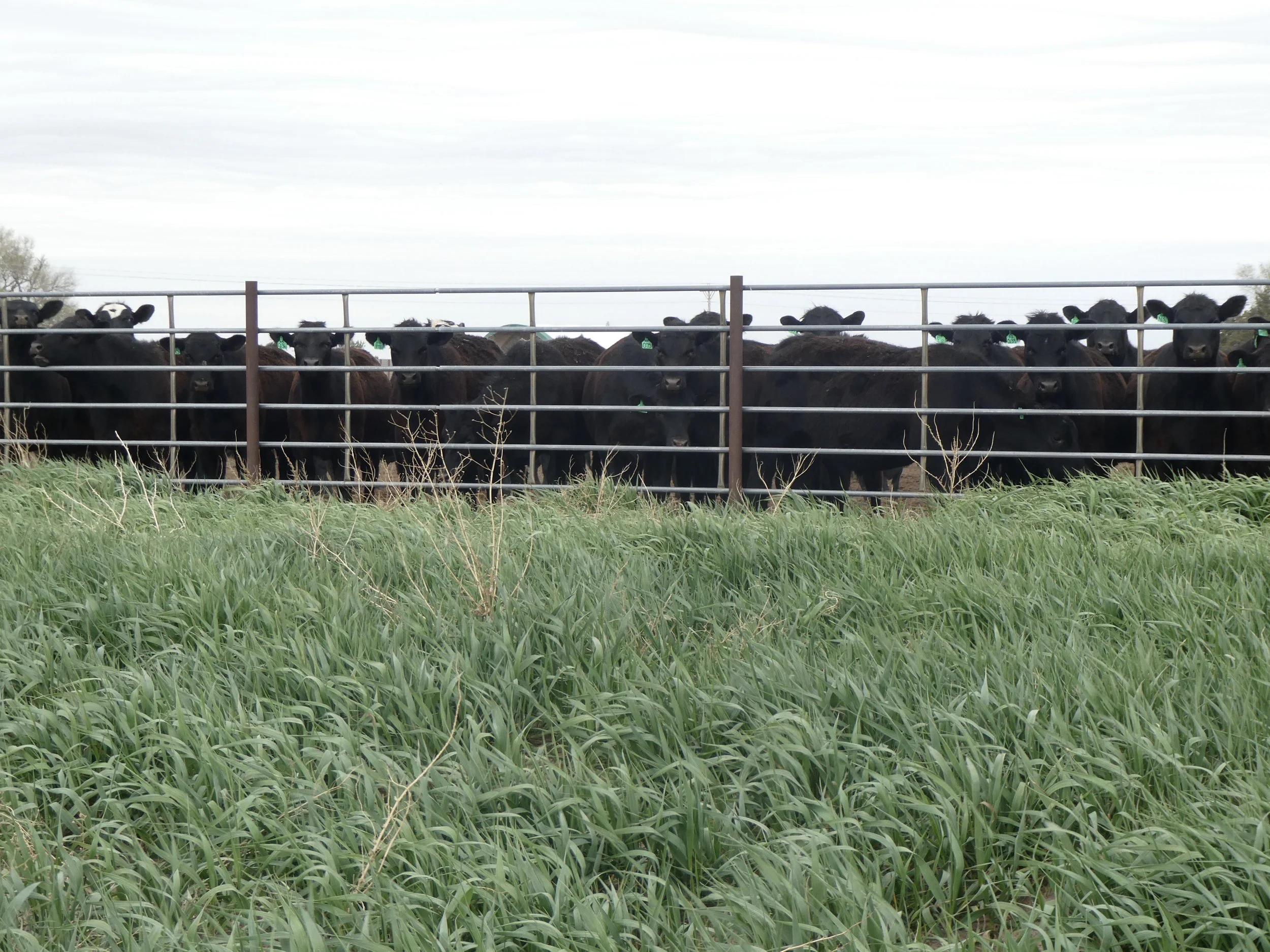
We made it to Kansas and stayed at the Beymer Water Recreation Park. Even though the park was open the bathrooms were closed so looks like we will be leaving early in the morning,
The next day as we traveled across Kansas we stopped at Tall Grass Praire National Preserve. It was established in 1996 to protect a once vast tall grass prairie ecosystem. The variety of grasses are quite short in April averaging 6 inches but by fall they can be as high as 6 feet. We walked thru numerous buildings and then took a 6 mile hike thru the fields where the buffalo roam.
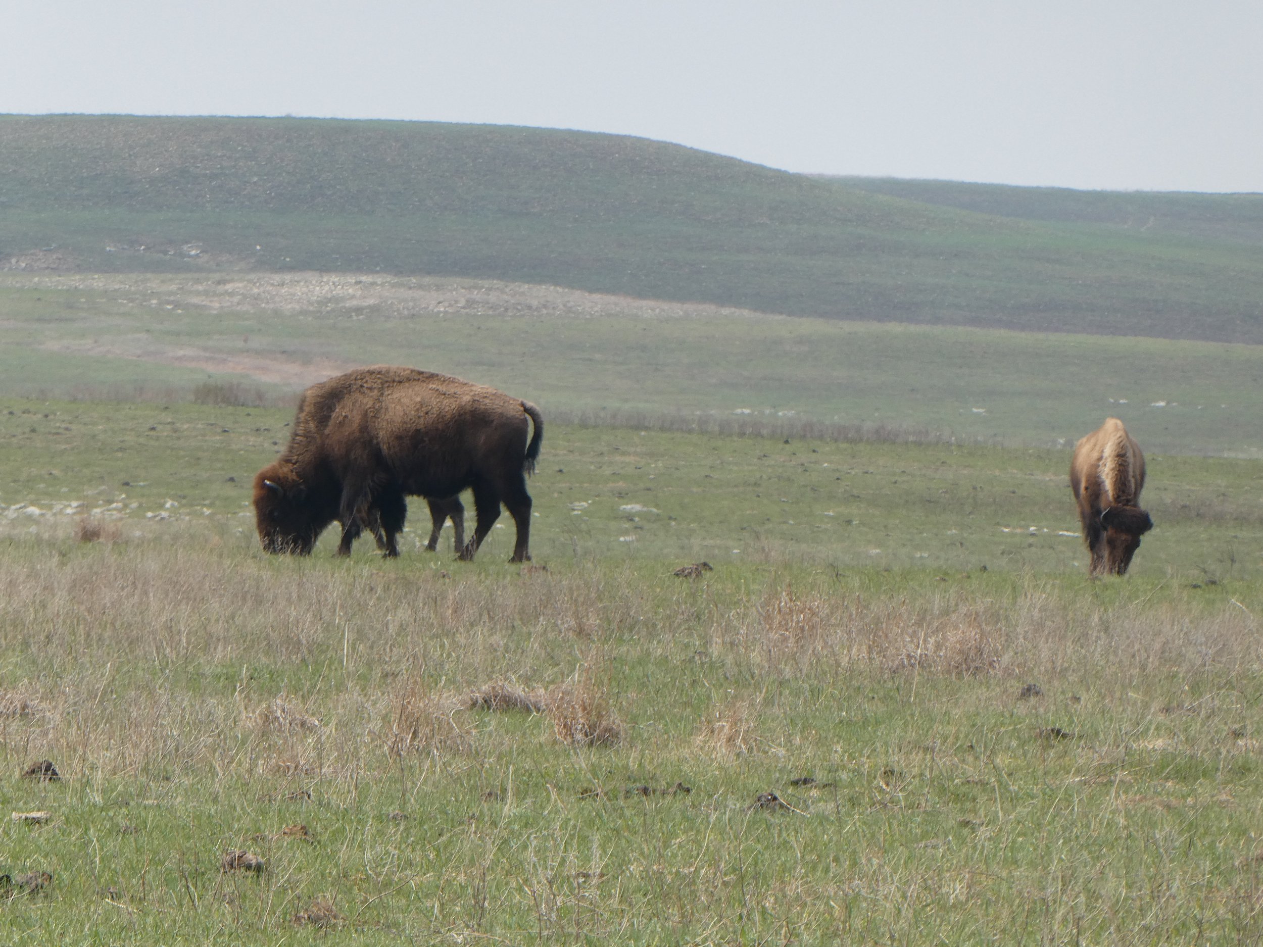
We were warned to be sure to give the buffalo a great berth , which we did.
We also stoped at Fort Larned, a stone fort that was meticulous in its displays. We had forgotten to. bring our camera and since the wind was howling we didn’t return to go get it. I would recommend stoping there if you pass by. We had decided to try to stay off of interstates and seeing these historical places made it worthwhile. The roads were slower but so much more enjoyable. Tonight we stayed at Eisenhower State Park. It was huge!. We drove around looking for a site and finally found one that we could park both vehicles.
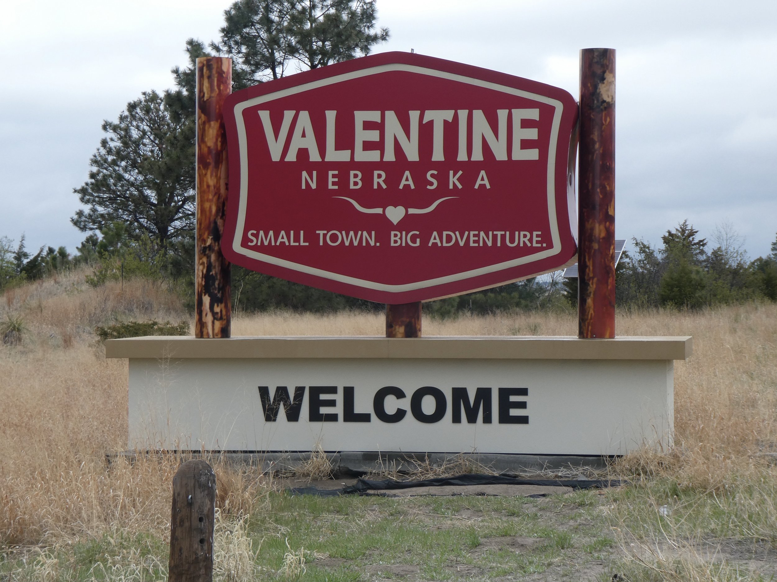
In the morning we decided to take a bike ride thru the park. we figured that it was good to get some biking in with all the driving we have done. Finally late in the afternoon we arrived to Clinton< Missouri where the Katy Trail officially begins.

We are glad to be here.

We check out the map and begin to develop a plan for doing the ride. There isn’t great camping options here so we decide to head to Sedalia where we can camp at the Missouri State Fairgrounds.

This place is huge! There are sheep buildings, cow buildings, chicken buildings, swine buildings etc.

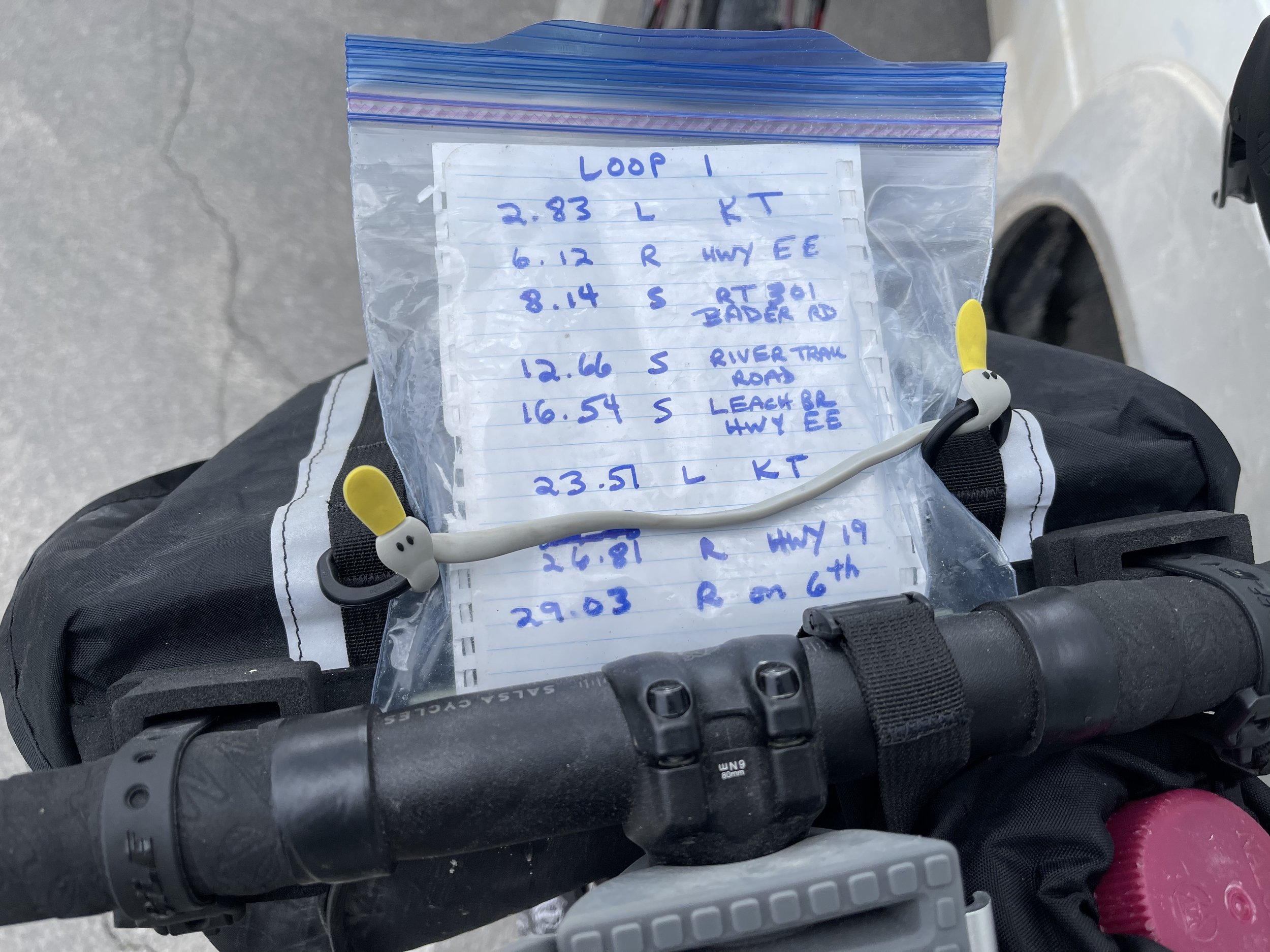
Our plan is to ride to the west, to a mile marker and then turn and ride back to our campsite. The next day we will ride to the east and then turn around and head back to where the vans are. This strategy is good for some places other days we shuttle vans.
We are up by 7

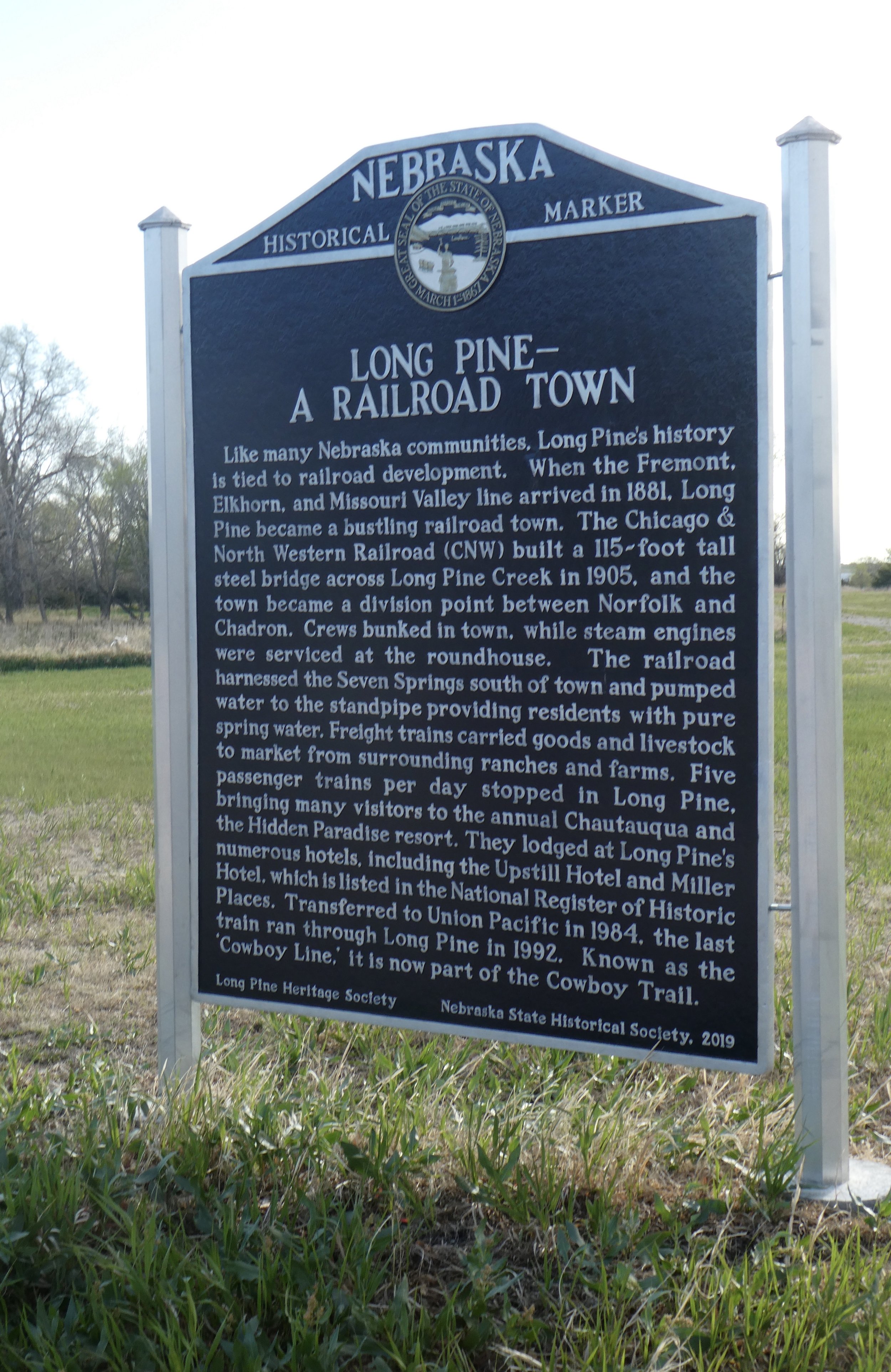
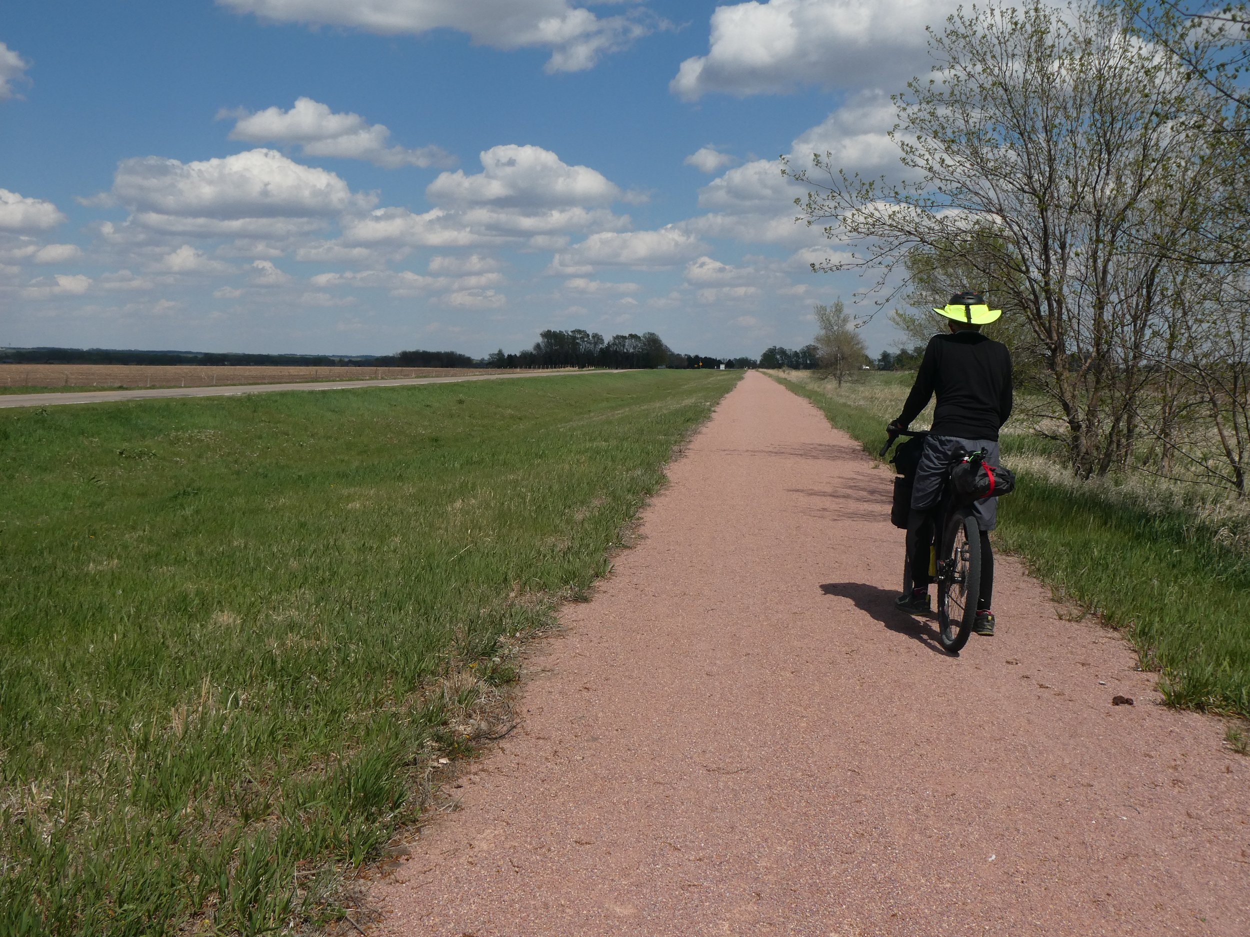
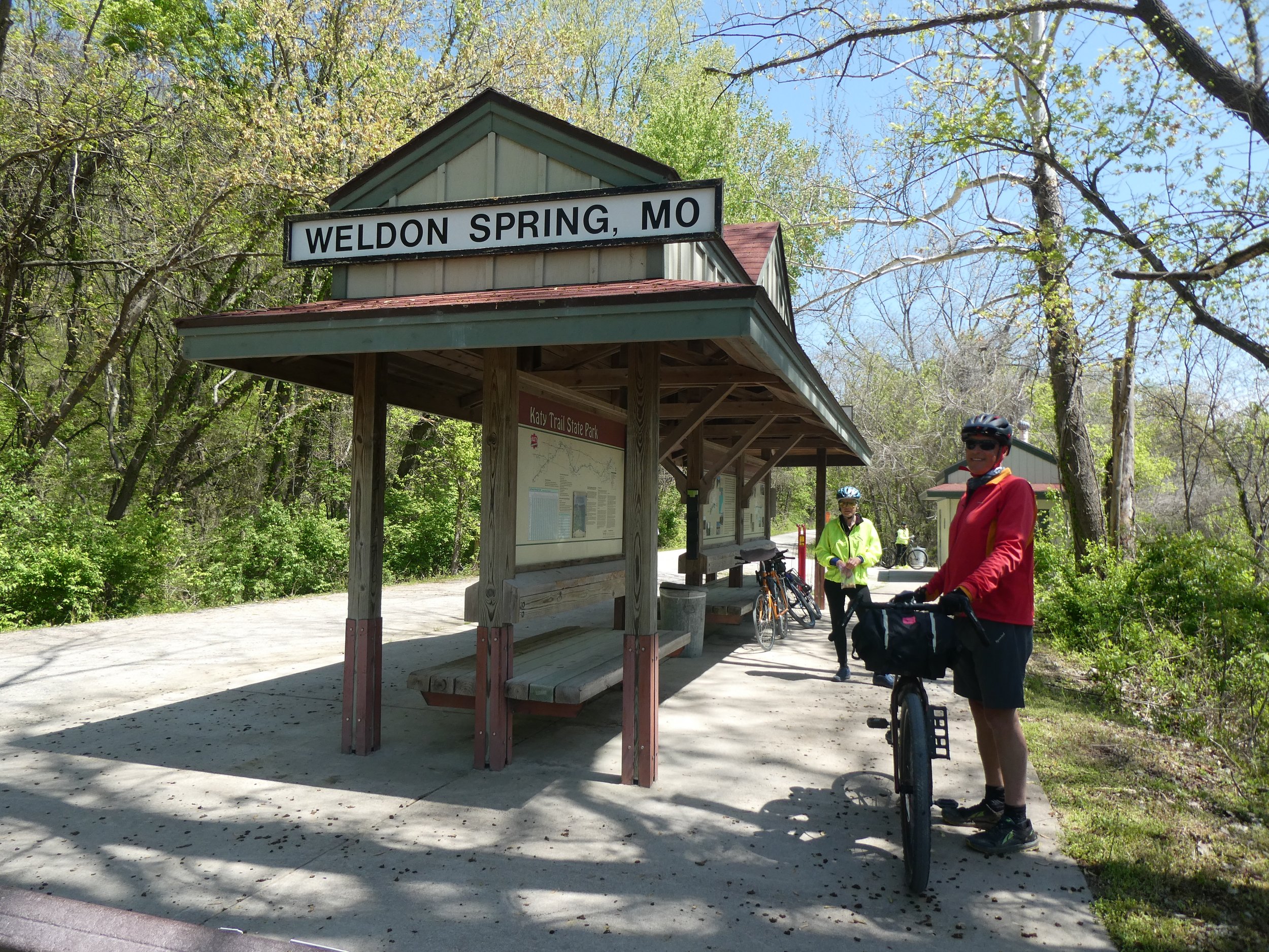
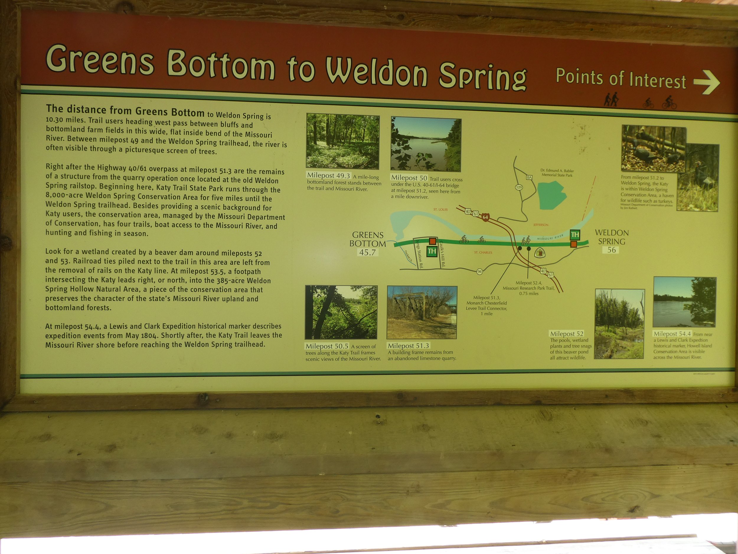
And ready to begin. Approximately every 10 miles there are bathrooms and very informative signs telling you about the history of the trail that one will be doing today.
We hit the high point to the trail today.

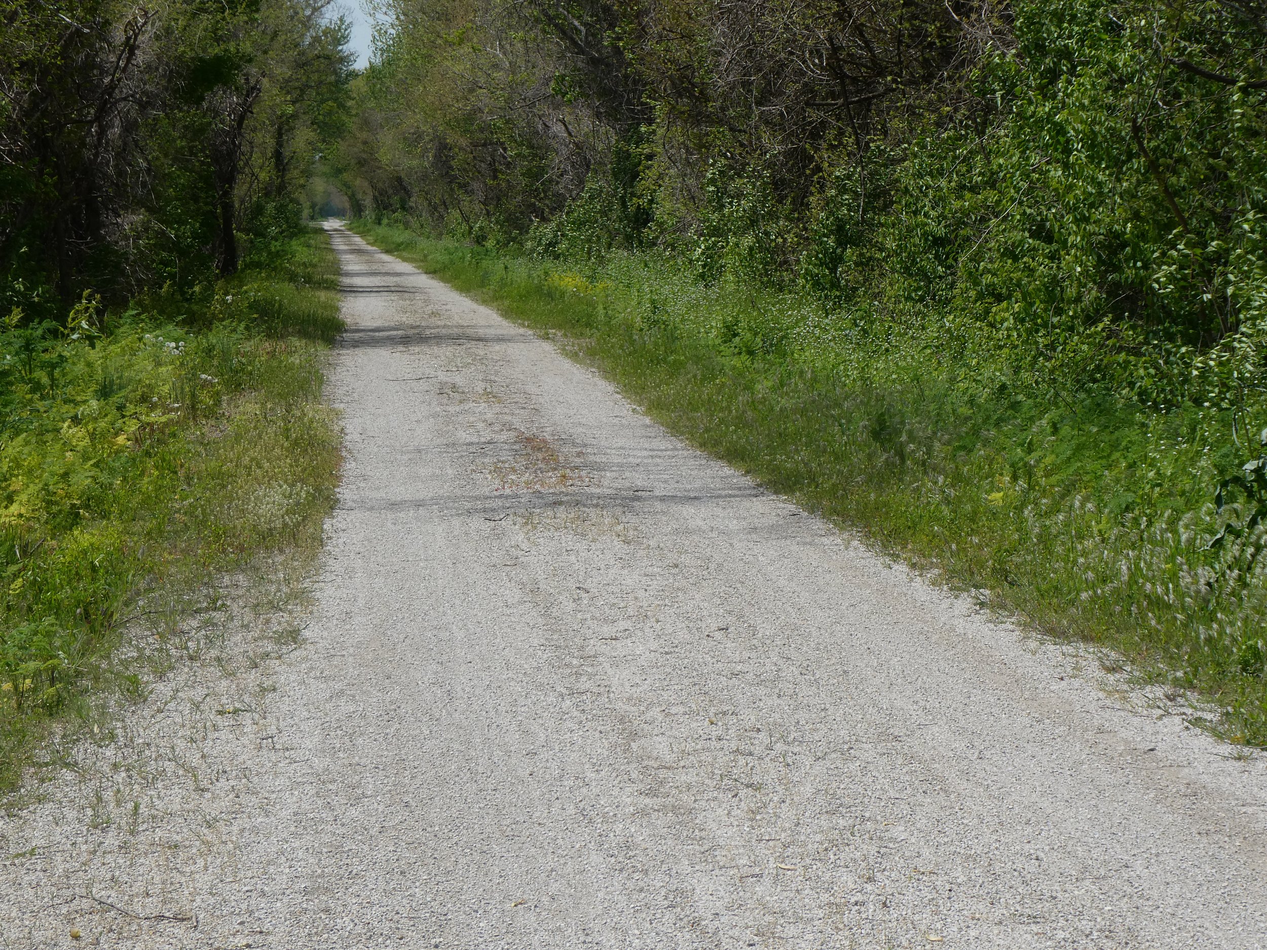
This has the reputation of being a very flat trail and today we experience just that.

There are also numerous information signs along the way.
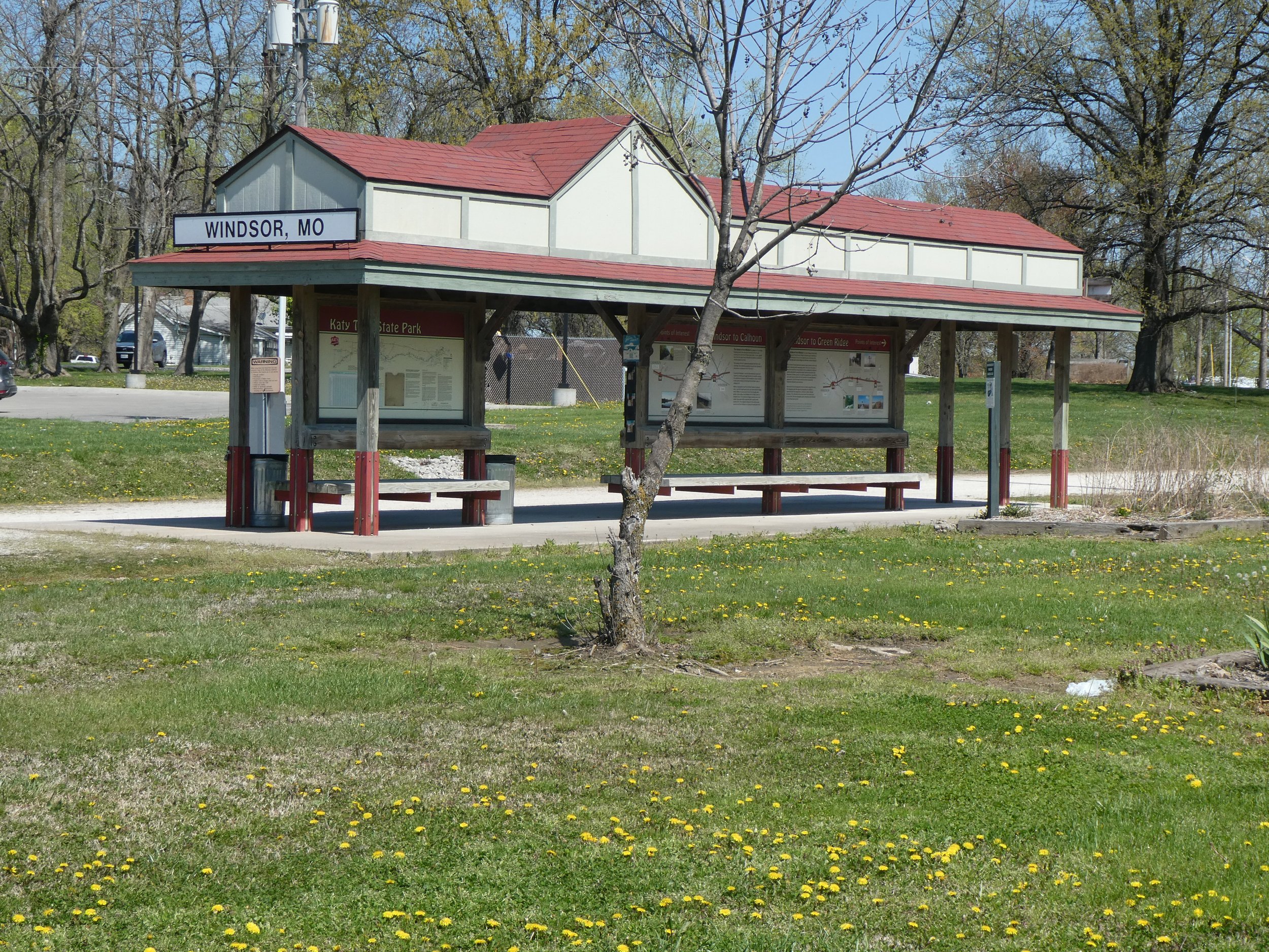
We made it to the Windsor trailhead before heading back to Sedelia.
Todays miles 38.44
Today’s journey took us east, past Clifton City.
It was another crisp cool day, great for biking!

Off we go.
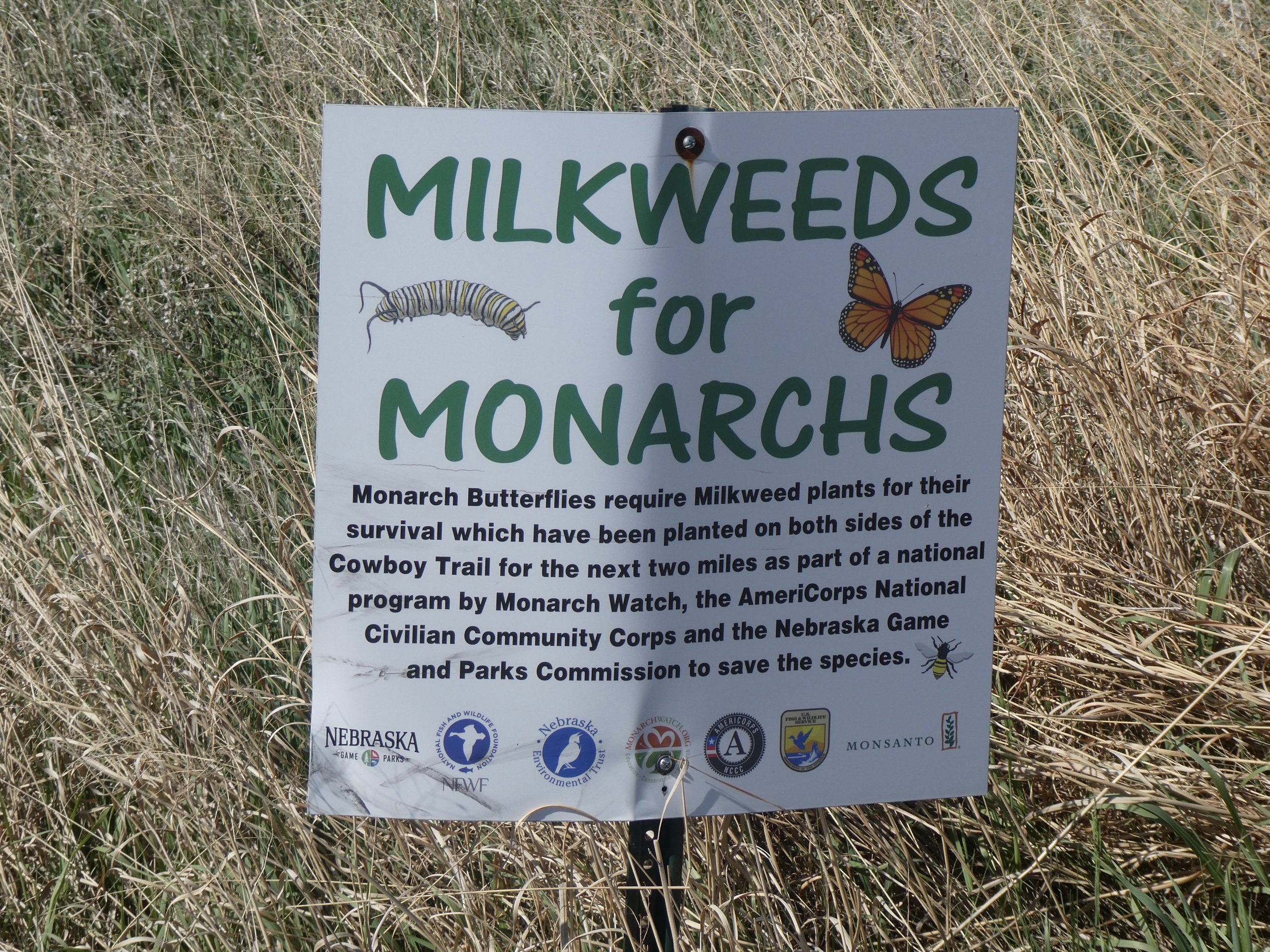
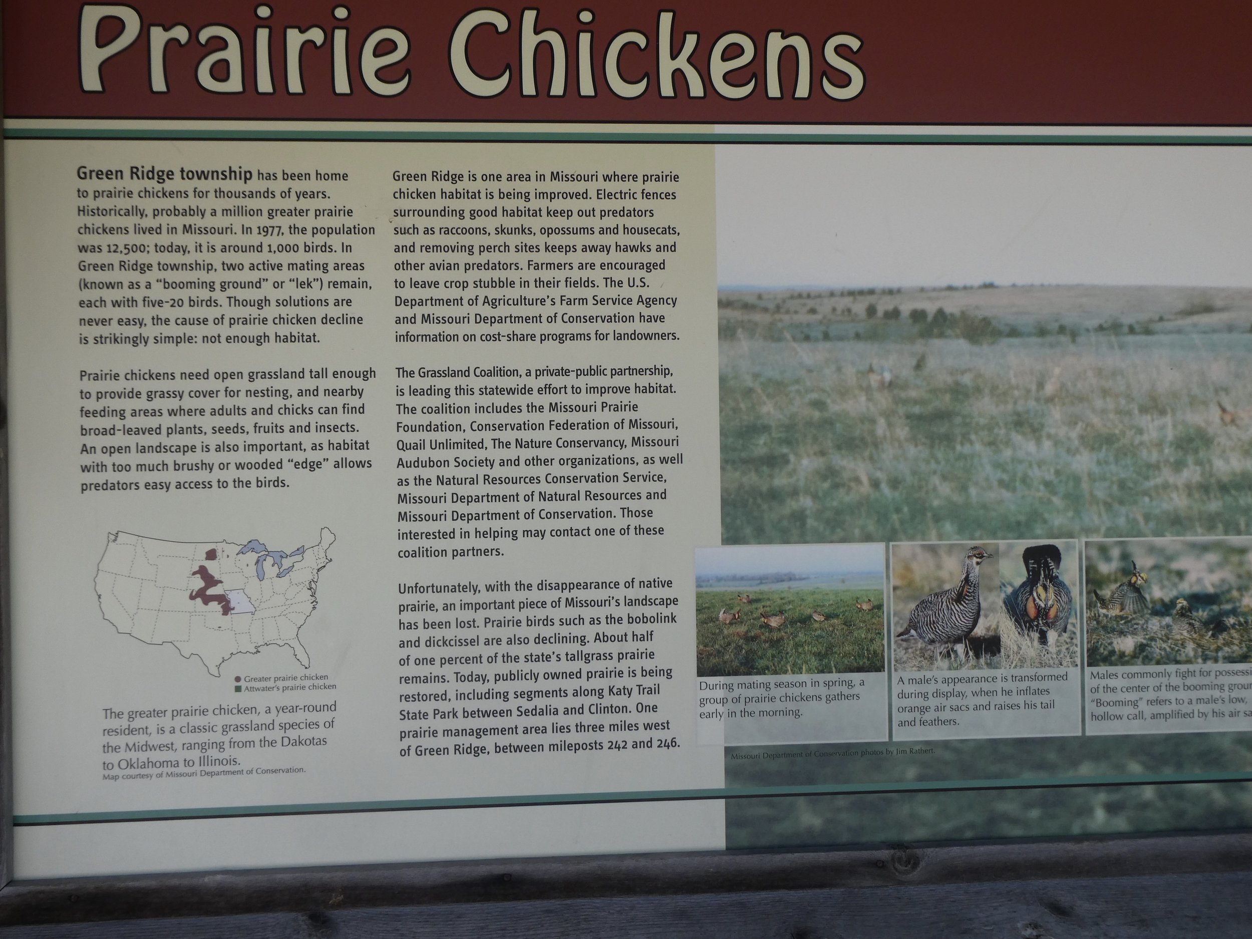
One of the signs told us to be on the lookout for prairie chickens, but alas none were to be seen.
Each stop had these signs with so much information.
Often the signs would tell what one should expect for the terrain that they will be riding.

Along side the trail someone had placed an actual train whistle and light that was motion activated.

We activated it several times as it was so fun.
We went over several bridges today.

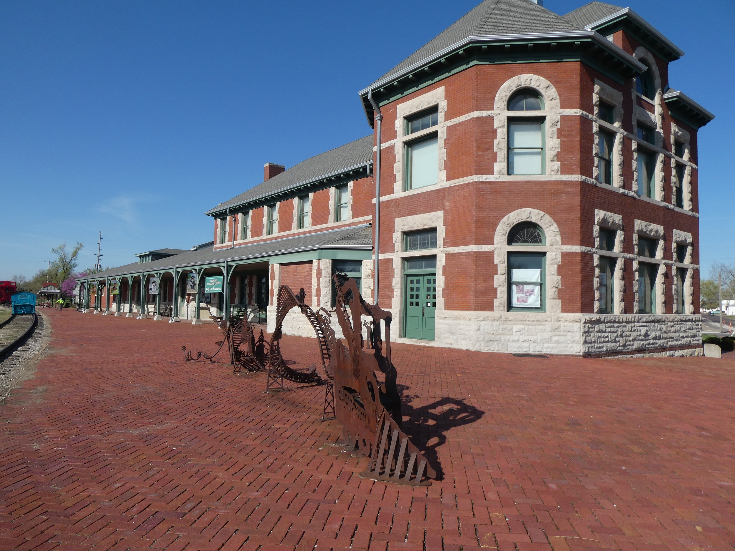
The Sedalia trailhead was lots of fun and the buildings were well maintained. There were bathrooms and a gift shop there.


Don plays a tune.

The other side of the station,
At a lot of the trailheads there were examples of train cars.

On the return trip back to our vans, we noticed an interesting van parked near the trail. Don and Mary went up to check it out and met an interesting man. He was a bike mechanic as well as the local historian and told them stories about the area and the trail. Looked like he had lots of bike parts in his van.

Once again meeting people is what adds to the interest of the trail.
Todays mileage was 37.44
On the 16th we checked out the forecast and it was calling for rain, another town, Pilot Grove was predicted to have rain later so we loaded up the bikes and headed East.
We started out the day by going thru a huge culvert.
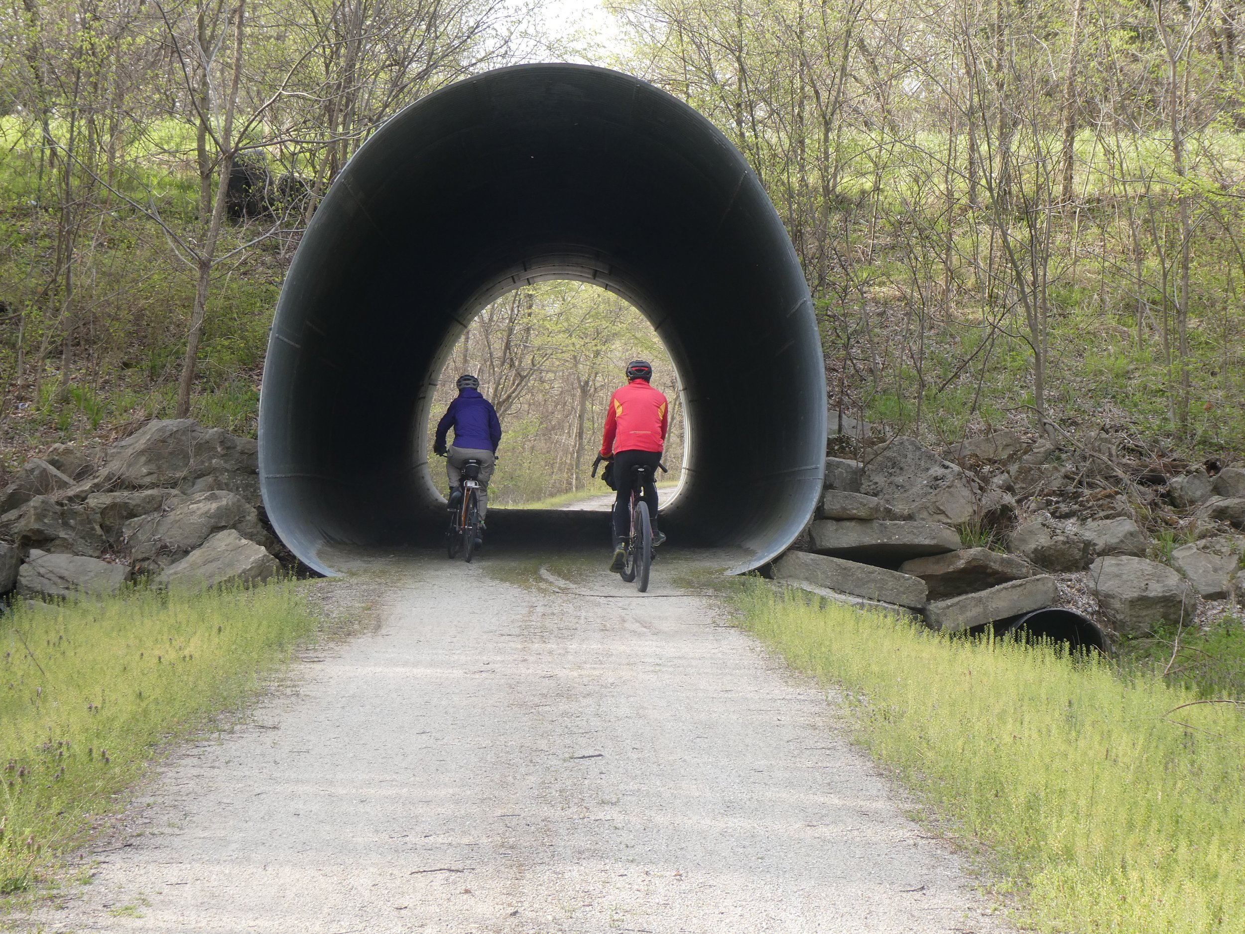
And reading about the route that we plan on doing today.

Since we are doing this section both ways we will get to go up and down.
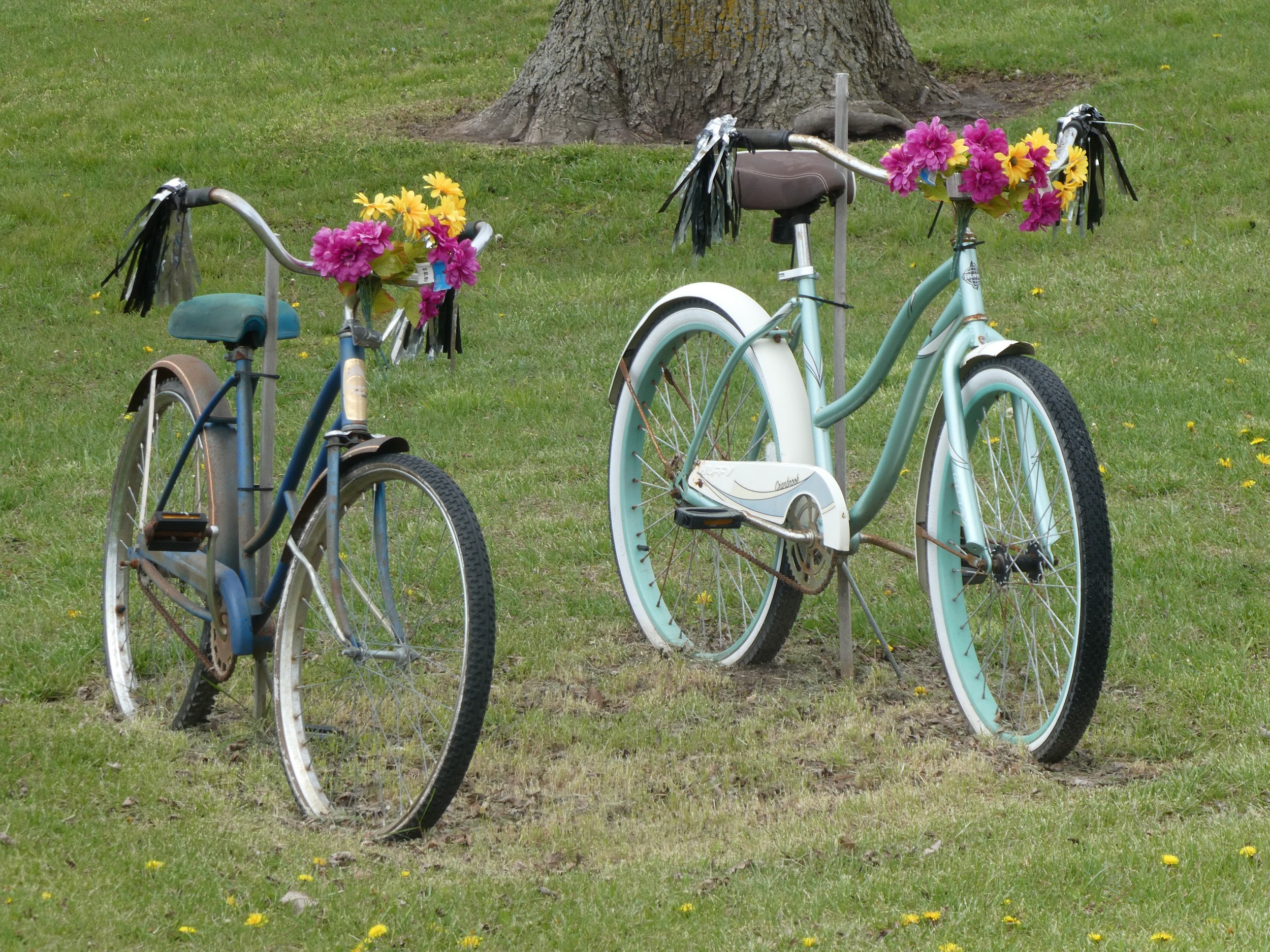
This stretch of trail had several decorated bicycles.

At one point on the trail we crossed over the interstate.
At the town of Boonville there was another nice building, although it was mostly closed due to covid.

A nearby building housed a museum and a gift shop. we were able to pick up a Katy sticker.

The rain hadn’t fallen as predicted so we came up with the plan for Don and Mary to shuttle a vehicle to another trail head. I waited for their return at Boonville. (and waited) The railroad track is straight but the roads are country roads that meander around and around before getting to the final destination, It took them longer by far to drive the vehicles to the next trailhead than it did to ride the bikes there.
There was a lot of reading to do while I waited.
Finished the ride, got the vehicle and then drove back to Boonville.
Camped tonight at Knob Noster State Park
miles today 28.58
Today we started out with a hike at the State Park we camped at last night. The May flower is just starting to bloom and we hope to find a morel mushroom. Today did not have any success so we loaded up the vans and headed to Windsor. Today we will head to Windsor, take the trail to Clinton(the official start and return to Windsor

More informational signs.

And several old buildings.
On the way to the trailhead we passed several Amish Carts. We saw a sign advertising an Amish Store so after getting back to the van we went to check it out.
Miles peddled today 33.95

The store was quite busy with lots of unique items. We found a couple of dishes and then filled up with cookies and fudge. We camped in a city park tonight. It was free but got a little noisy during the night.
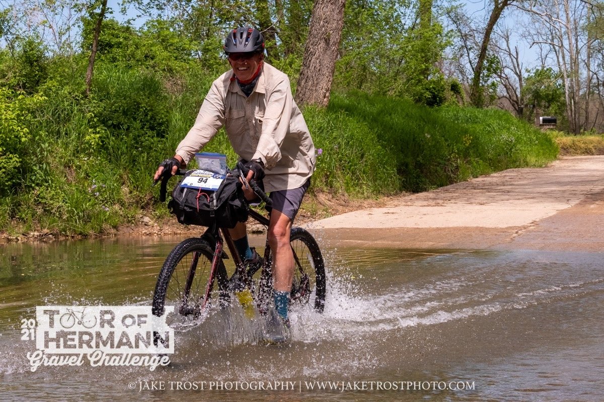
The morning found us driving back to Boonville and leaving me and bikes here while Don and Mary shuttle vans to Cooper Landing and return with a van. We head out looking forward to crossing the Missouri River and riding the bikes along the river bluffs. We pass by the town of Rocheport which is a popular trail head for bikers doing day trips. There was a lot of activity here.

Went thru several tunnels

Across bridges

And even crossed the Missouri Rivef

We always enjoy reading about the history of the area and what to expect about the trail

This old grain elevator was in excellent shape.
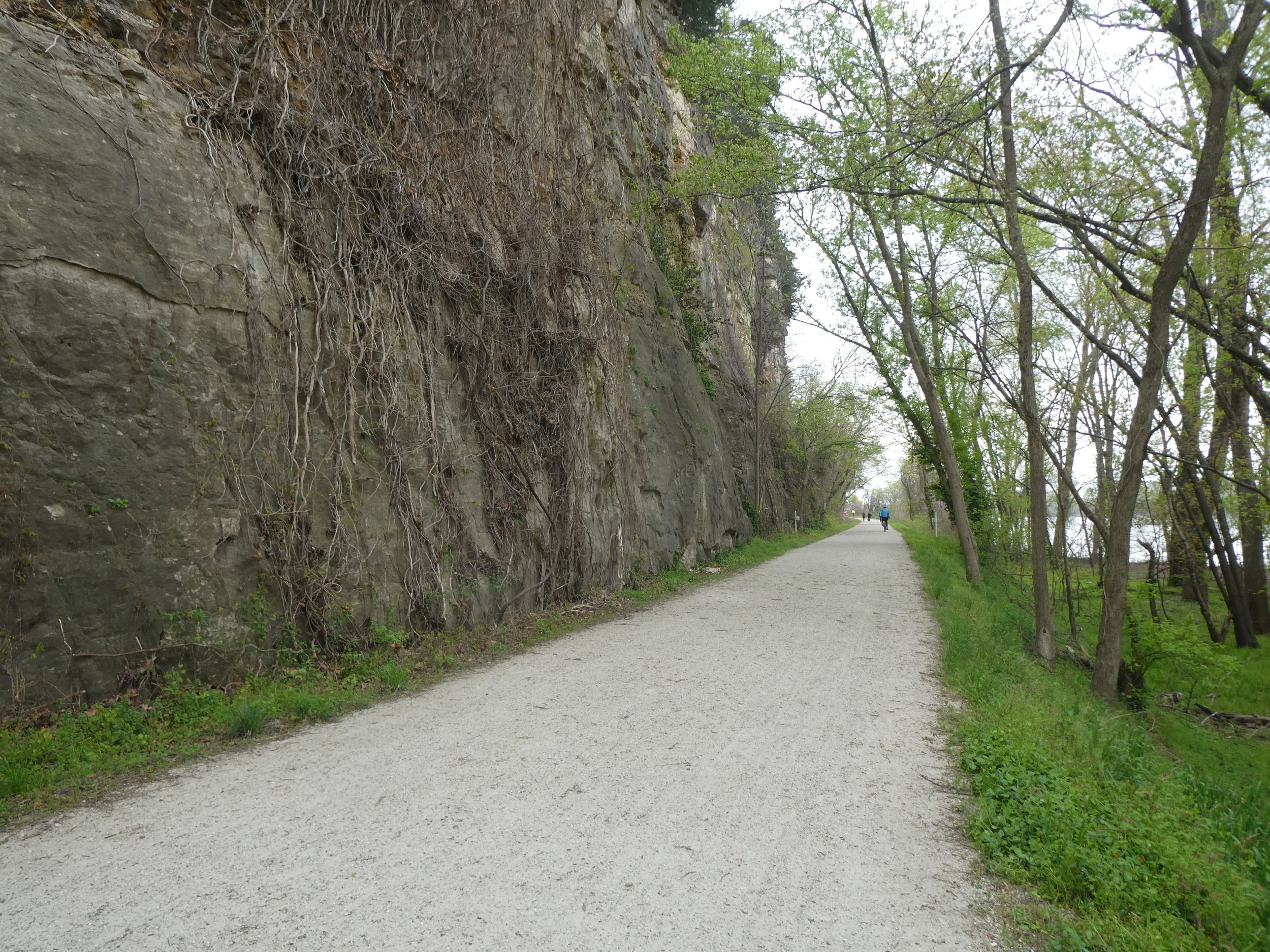
The trail hugs the river with bluffs on the other side. This is definitely quite scenic.
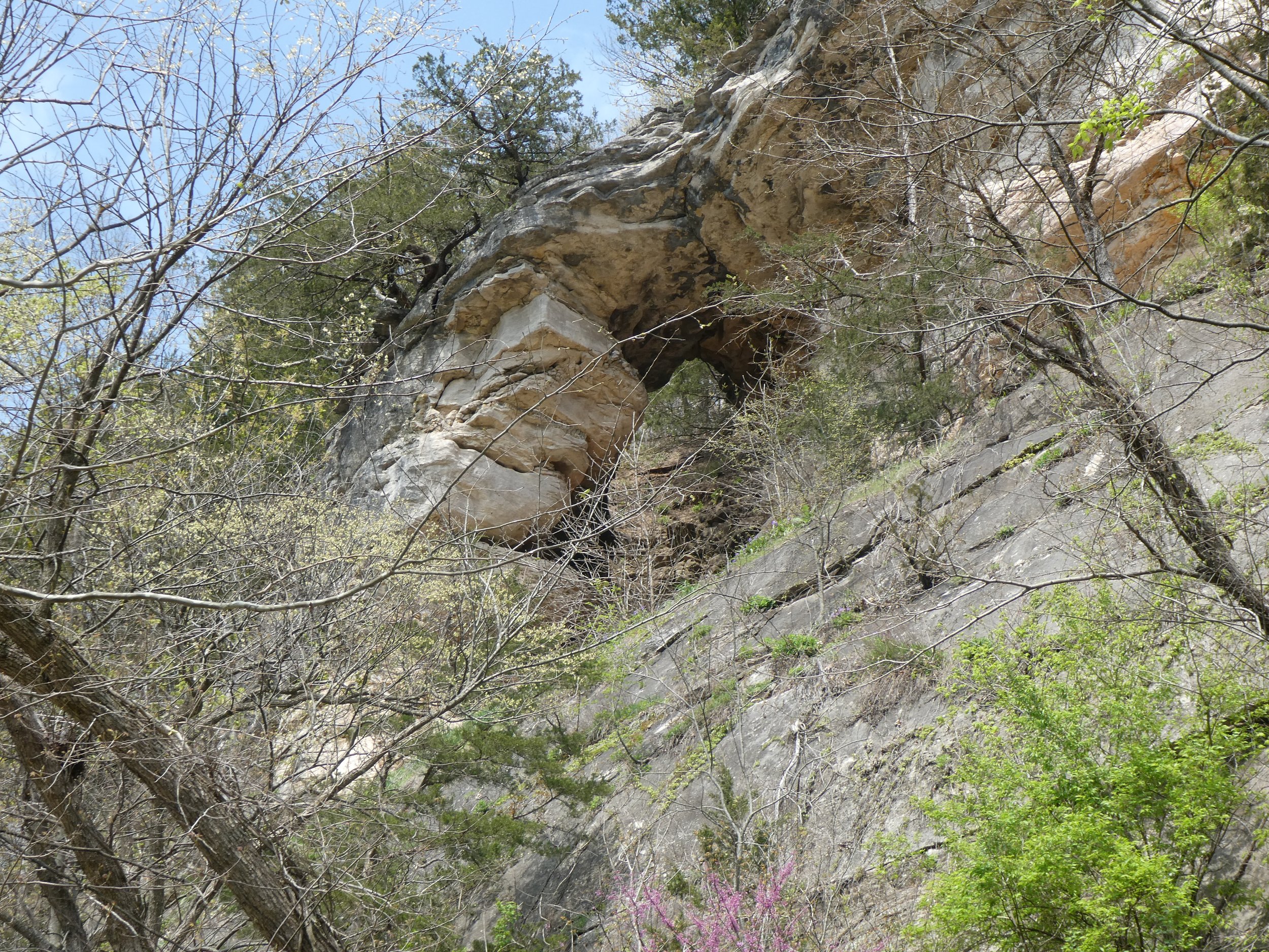
We pass this arch and read about it.
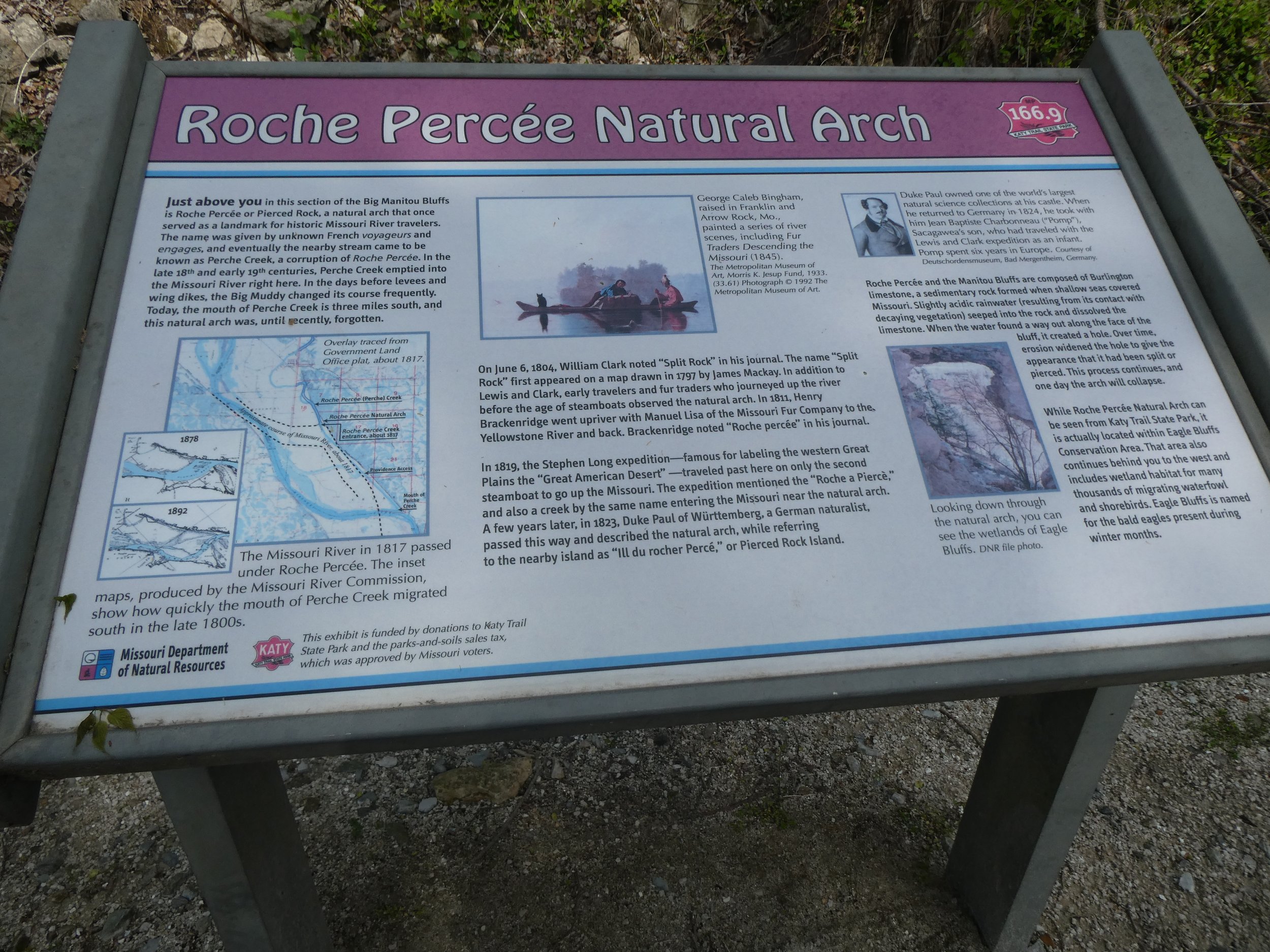
The Missouri River has changed since Louis and Clark did their expedition. We learned a lot about their adventures as we peddled next to the river. One bridge has washed out so we did some road biking. We can appreciate the Rails to Trails so much more when you have cars passing you Tonight we camped at Binder Park Campground. We felt quite fortunate to have a site here. Don’s strava app stopped so didn’t get to record our mileage today.
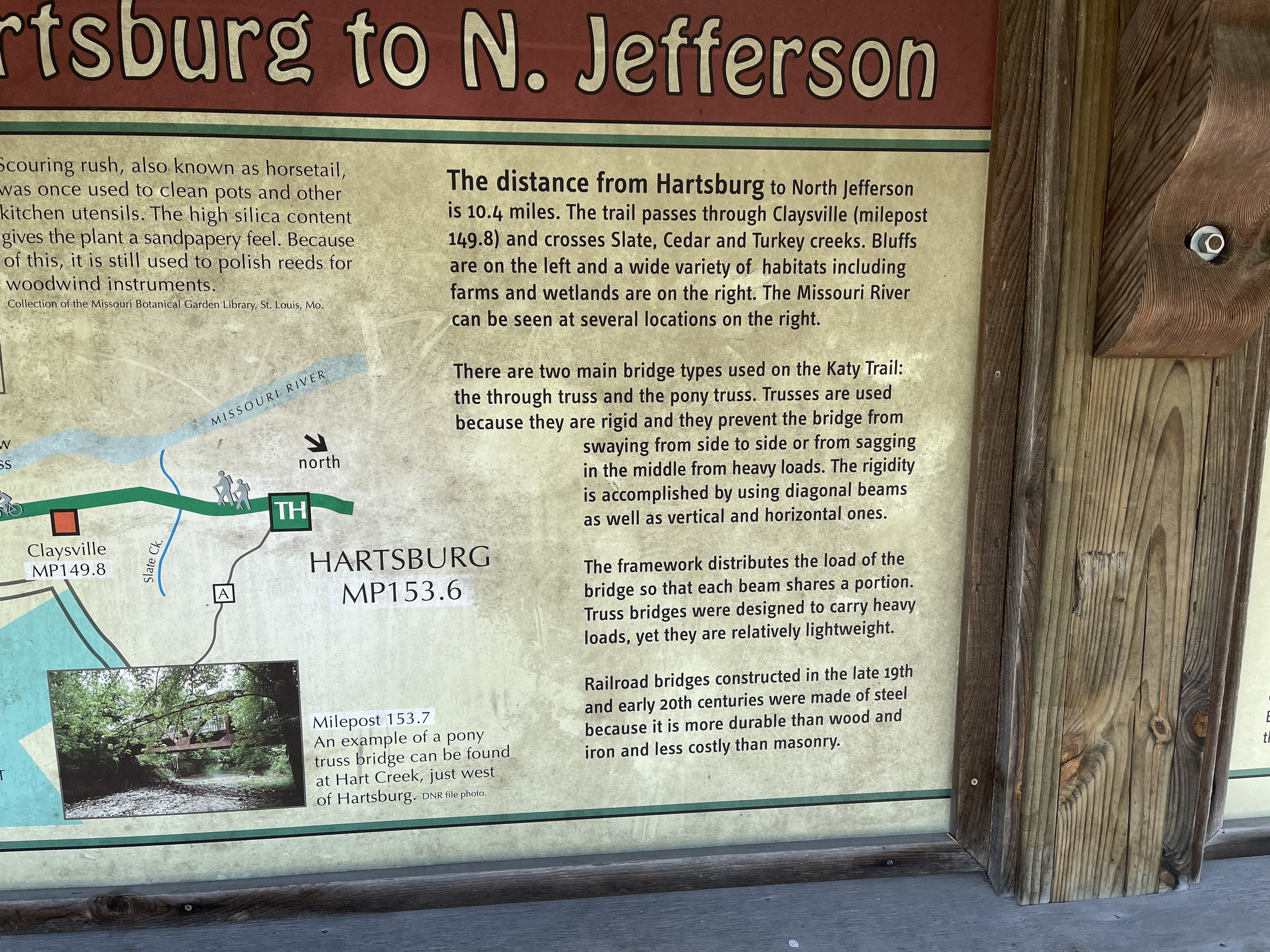
Leaving our campground we headed towards Hartsburg where we plan to start our days bike. We will head to Copers Landing and return back to Hartsburg.

Our starting point.

It is another day of getting to ride next to the river,
Always new things to learn!

Looked like they were getting sand from the bottom.

Very peaceful ride today.

Glad that they kept the bridges.

We loved the intricate iron work.
This area is prone to flooding and this sign was very informative.
We decided to try an exchange the key ride for the last part of today. Don drove a vehicle to N. Jefferson and then rode his bike toward Cooper Landing. Mary and I rode our bikes to N. Jefferson. That was a good option as we covered more ground today. Headed back to Binder Park where we found a May Apple in bloom. So where are the Morels?

May Apple
mileage today 30.28
Today is going to be a rest, laundry, showers and a visit to the state capitol. We aren’t on a tight schedule and when we woke up this morning and looked out the van window, this is what we saw.

No need to ride our bikes today!
After showers and laundry, we headed into check out the capitol of Missouri, Jefferson City.

The building and the grounds were impressive.
We had a variety of snow, rain and sunshine today.

It felt good to do some inside exploring today.
Tours of the capitol were limited due to covid, but we were welcome to check it out on our own, One could spend a lot of time here as there were several floors filled with lots of interesting things.

Not a bad place for the Governor to call home.
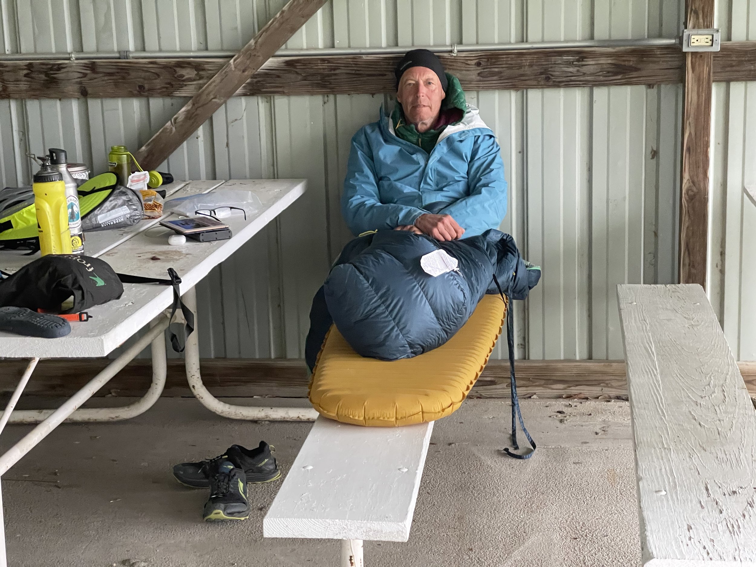
Finally we headed to an ice cream shop which we saw advertised. Mary and I ordered a dish of ice cream and Don ordered a banana split.
His eyes got big when the dish appeared.
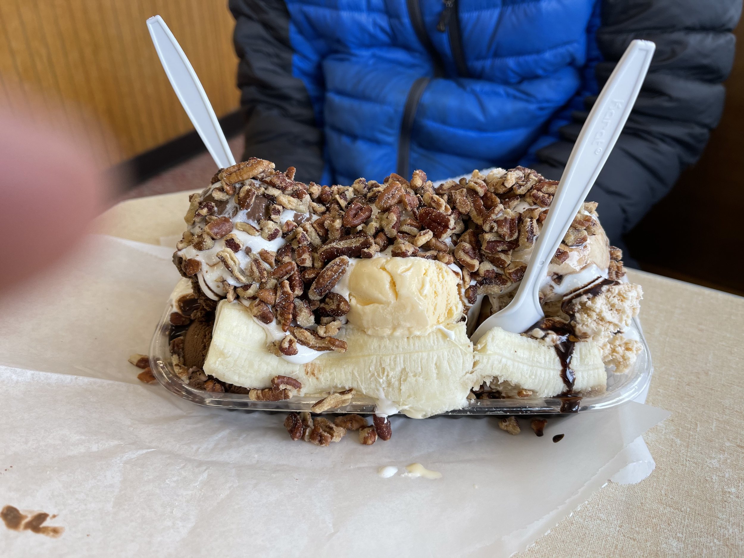
Other than a few shared bites, he ate the whole thing.
When he returned to the campsite, this is how he spent the rest of the afternoon.(perhaps a bit of a sugar downer)

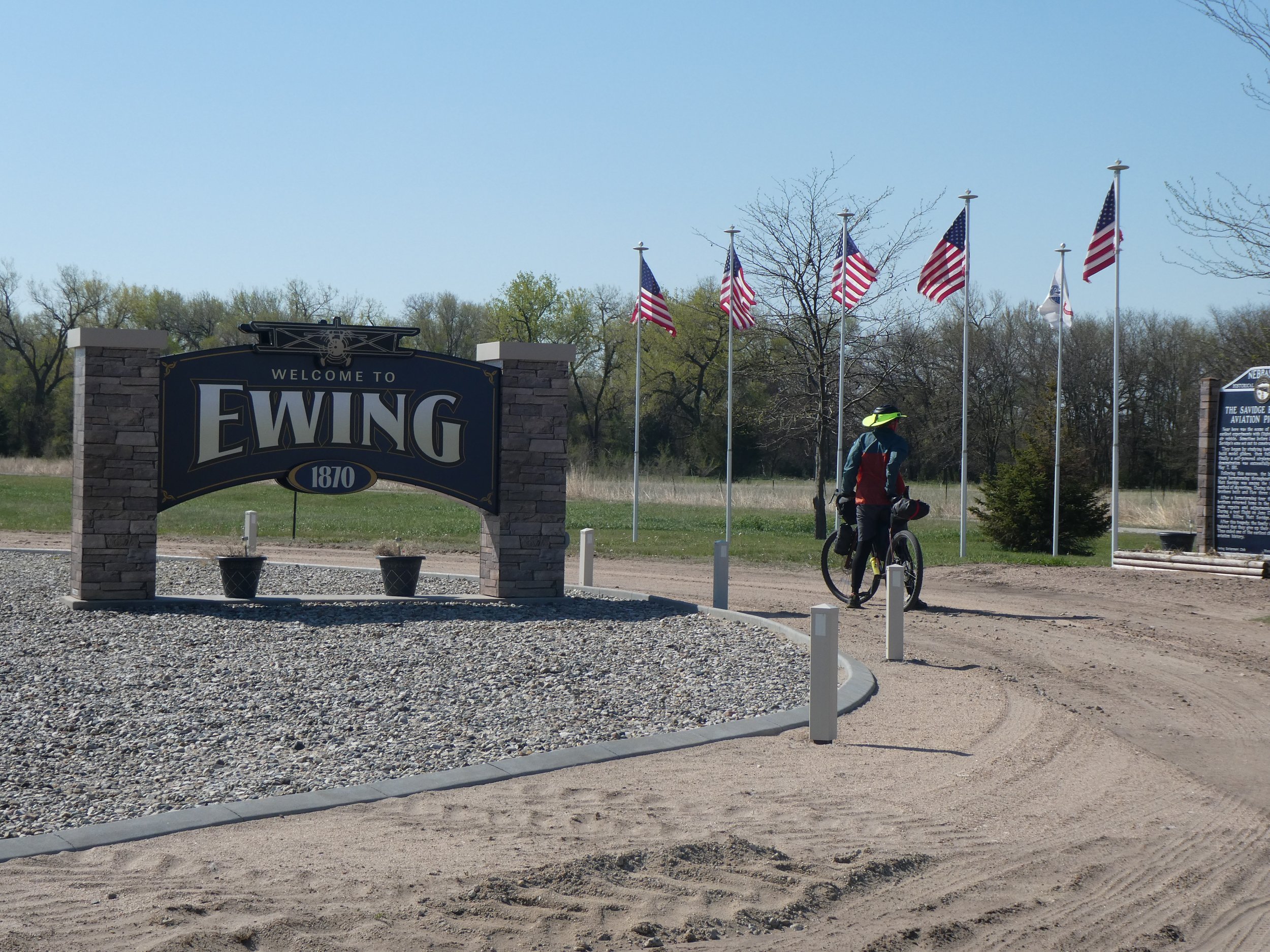
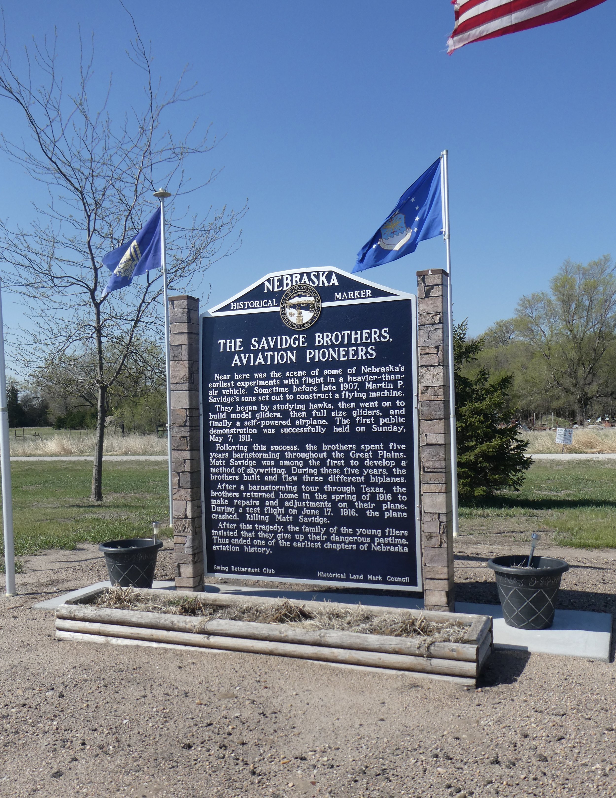
it was 29 degrees this morning. We sure have had a variety of weather on this trip. It has been nice to have the vans to sleep in. It is a little early for some of the campgrounds to be open, but when they are this would be a fun bike pack trail. We drive to Blufton and to Bluftons Barn. Here we met Doug the owner who provides lodging for the bikers. He gave us permission to leave one vehicle here, we will drive one vehicle with the bikes to Marthville and ride to Blufton. Then drive back to get the other vehicle. We are doing more driving than we would like to, but having vehicles definitely gives us options.

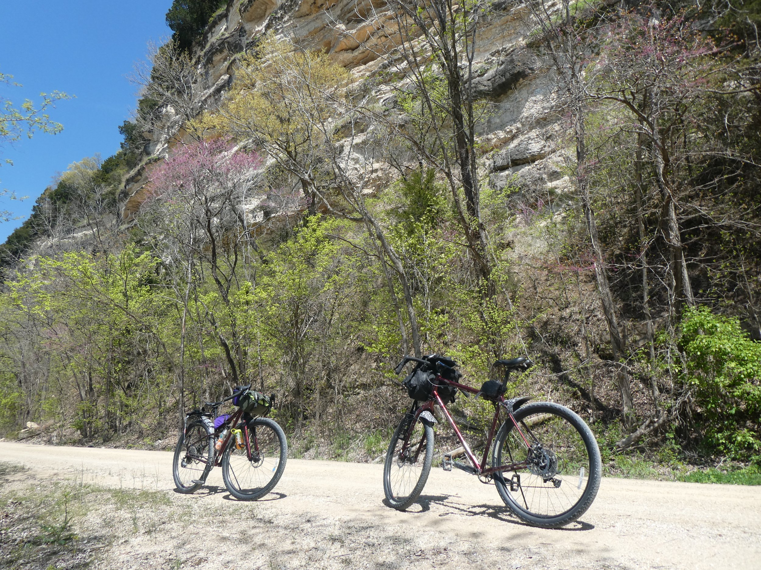
Another fun day of riding.
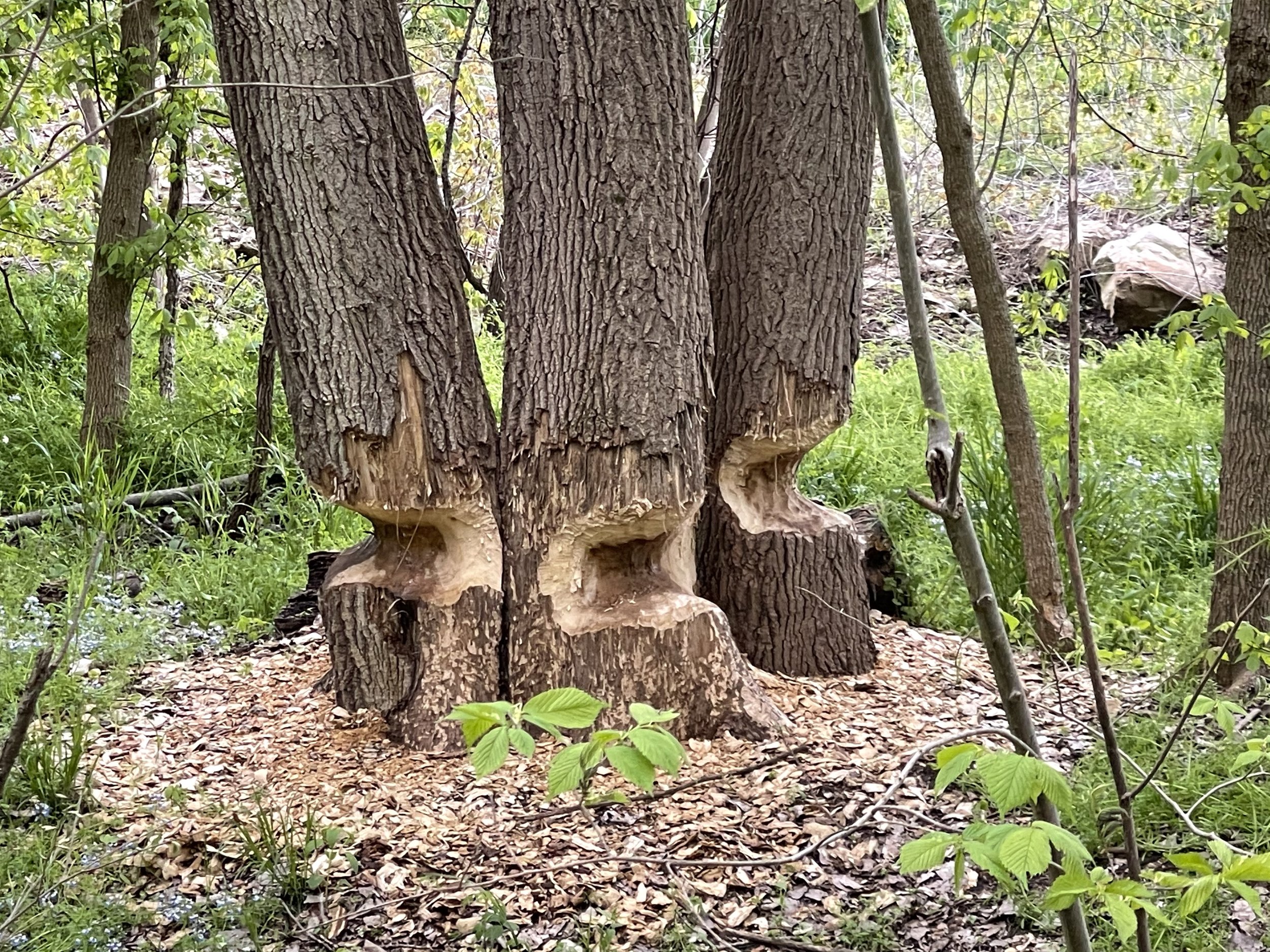
We haven’t seen any beavers, but looks like they have been busy here.

Every 10 miles we get to take a break and learn more about the area.
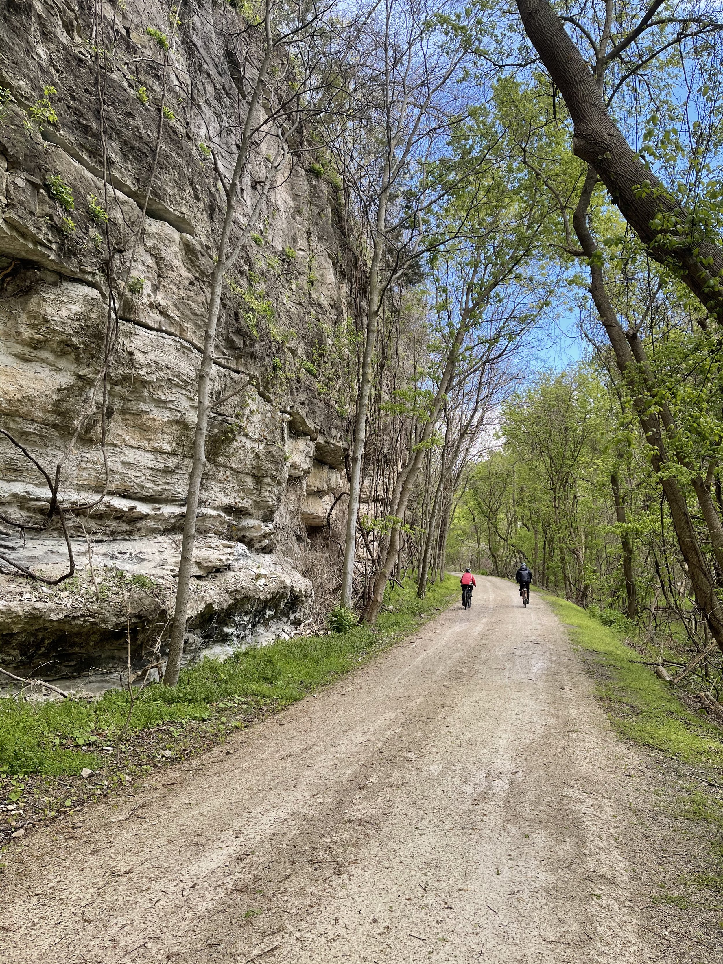
We enjoy riding along the bluffs.

We make it back to Blufton and then drive to get the vehicle. Upon returning Doug invites us in for some wine and we share travel stories.
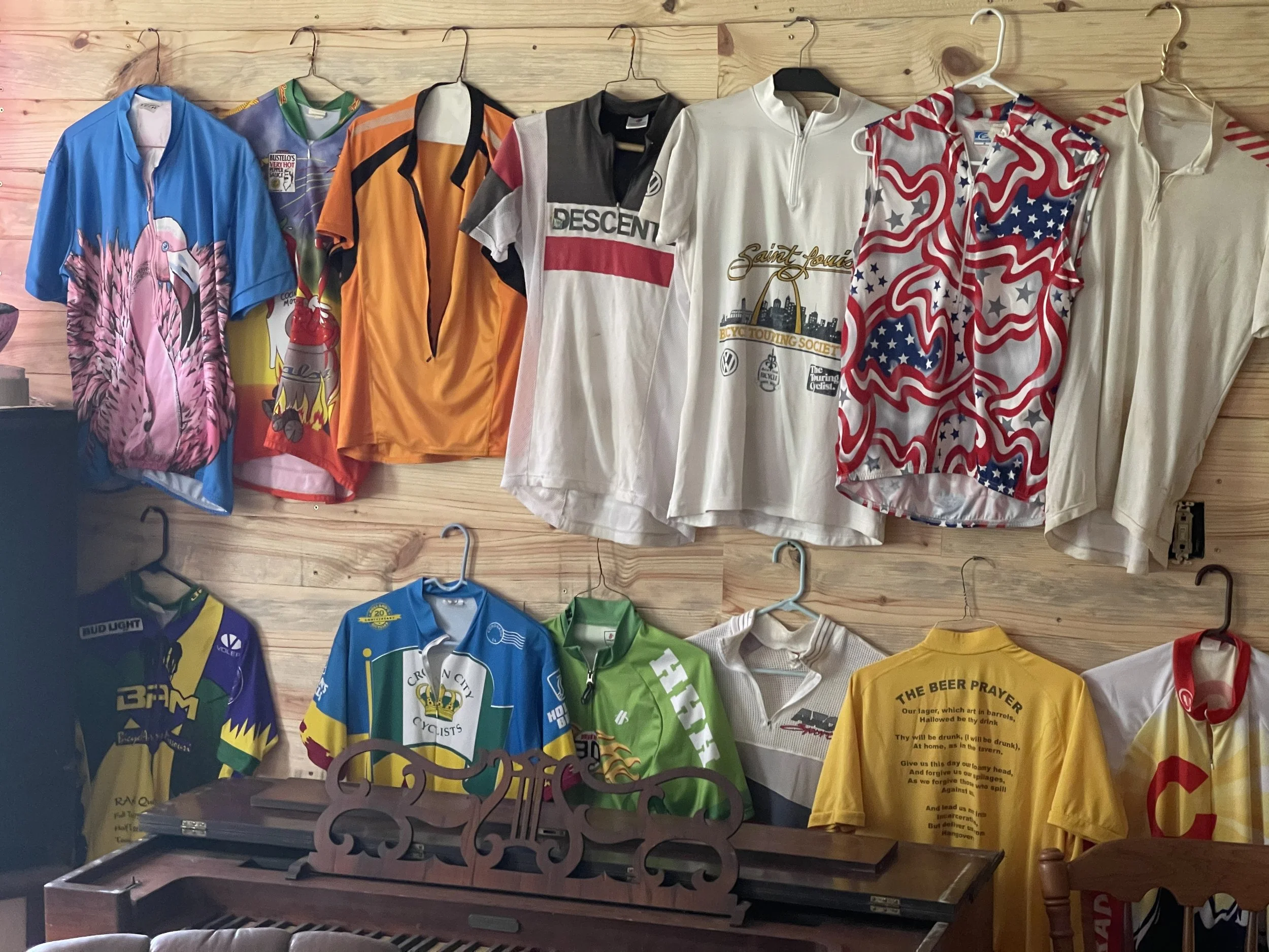
His room of biking shirts have a lot of stories to tell!
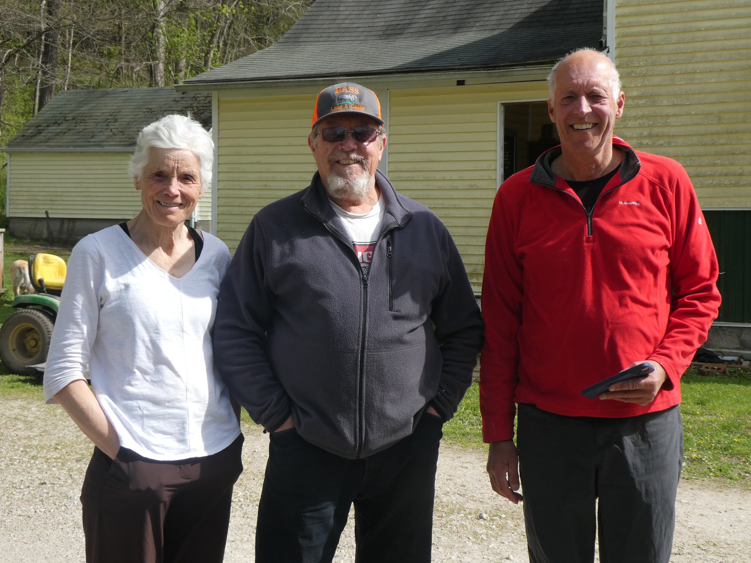
It was fun meeting and talking to Doug.
Mileage 33.45
It was another cold morning, the temp. on the van said 24. The puddles were frozen and the urge to start riding early was not there. We asked Doug if we could leave a vehicle here and drive the other van with our bikes to Marthasville. We will then ride to here and take the van with our bikes back to Marthasville. Everyday we figure out the best way to ride the entire trail. Doug had told us about a famous spiritual center not far from here. Many people each year make a pilgrimage here. Since it was mostly on our way we decided to go check it out.
it was amazing and it took us awhile to walk around the grounds to see all of the displays. I think the photos don’t need any description.
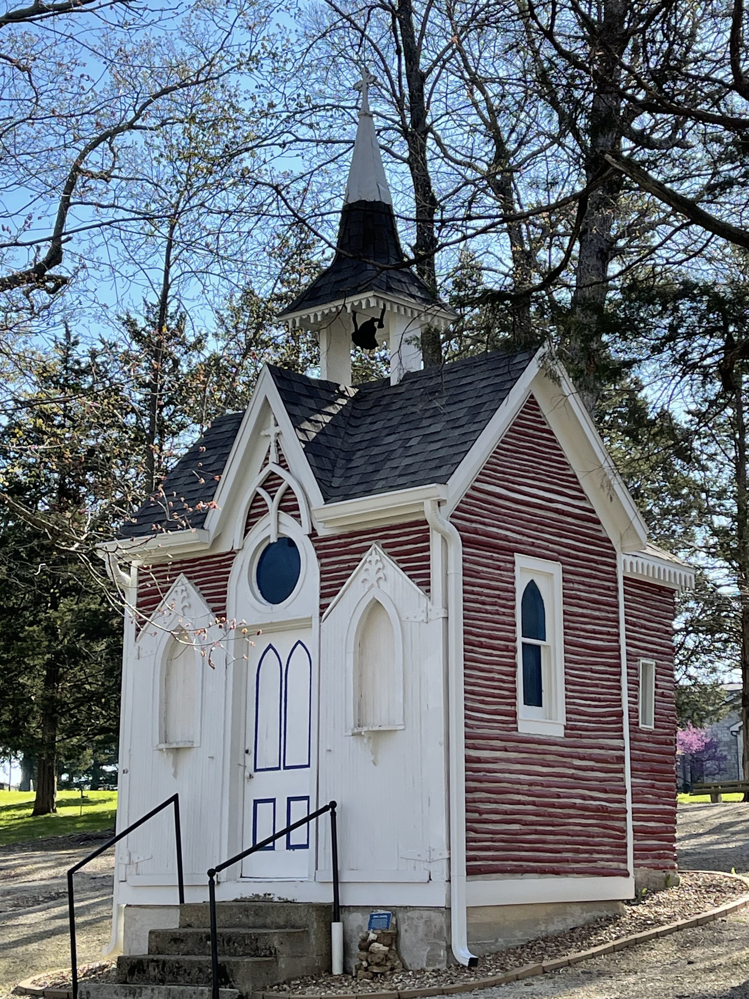
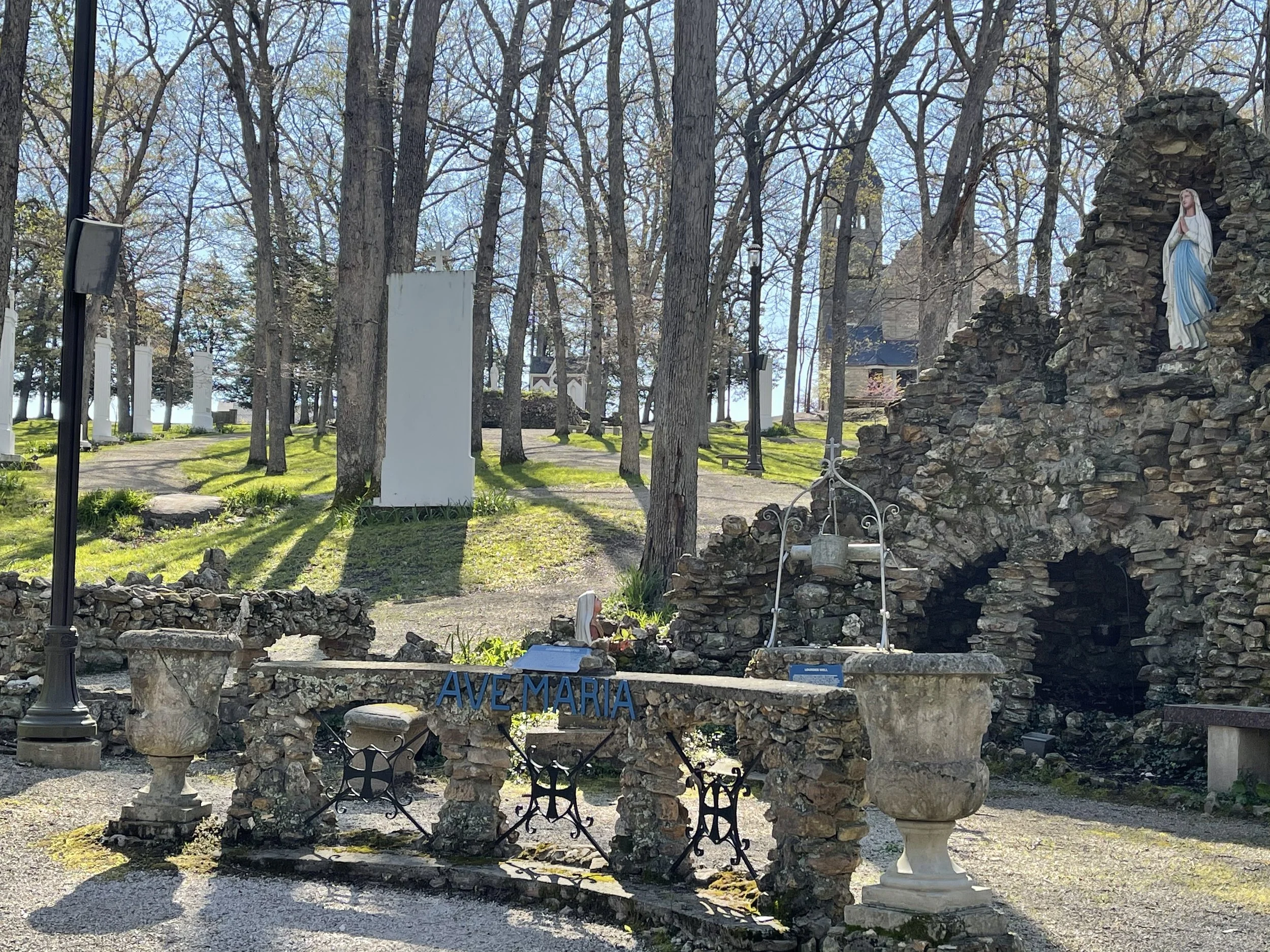


It was great to learn about this site from Doug.
Now it is time to drive to Marthasville and learn about this section of trail.
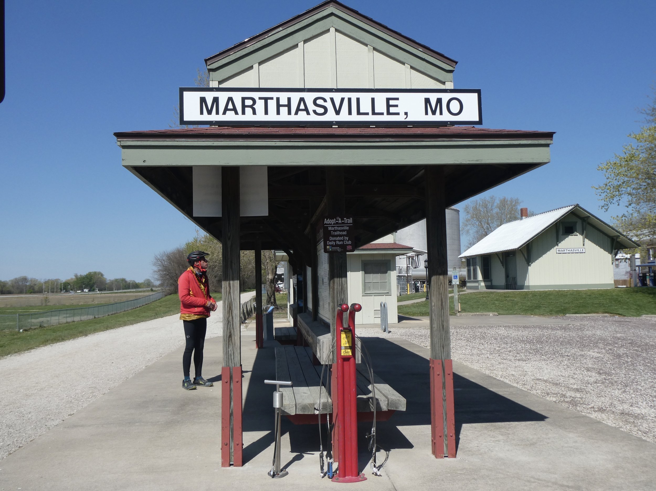
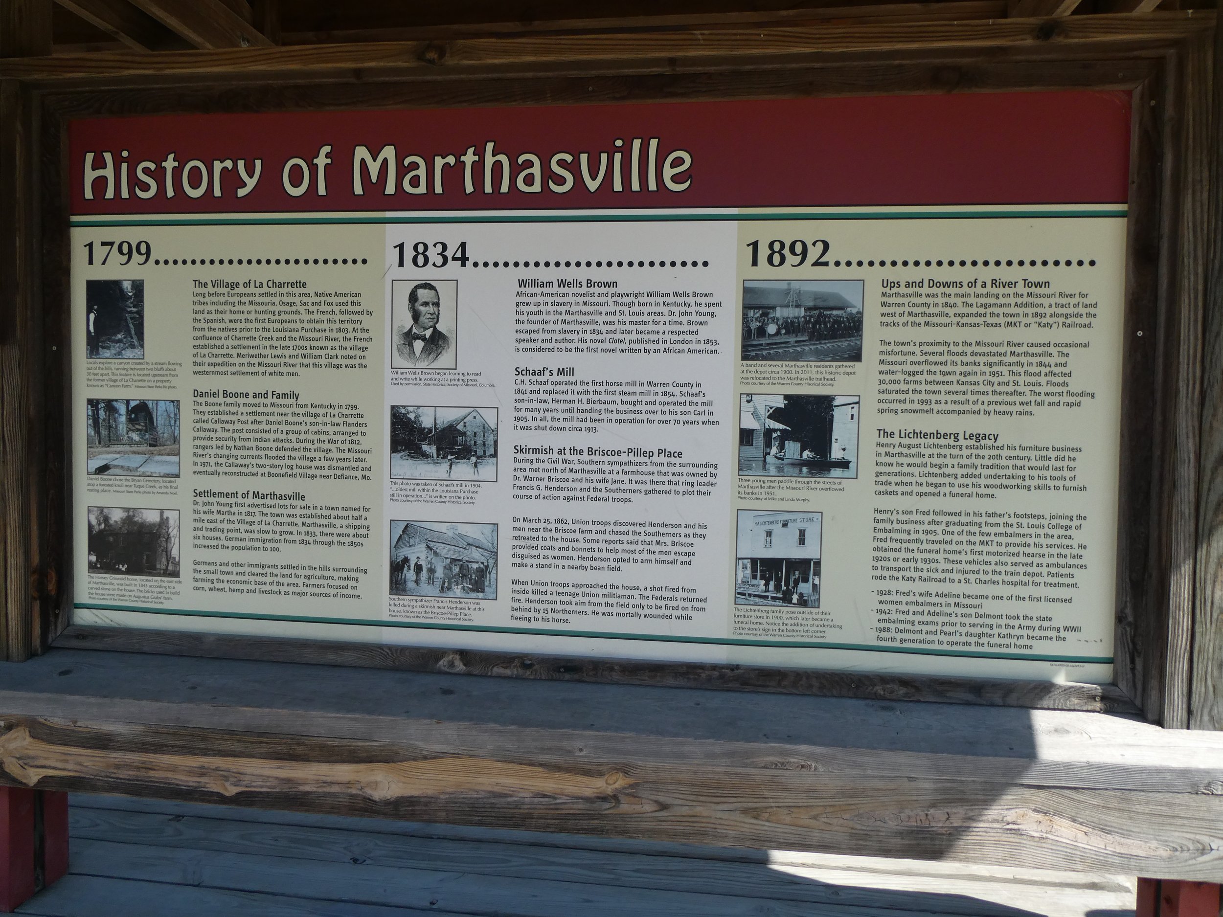
So much information.
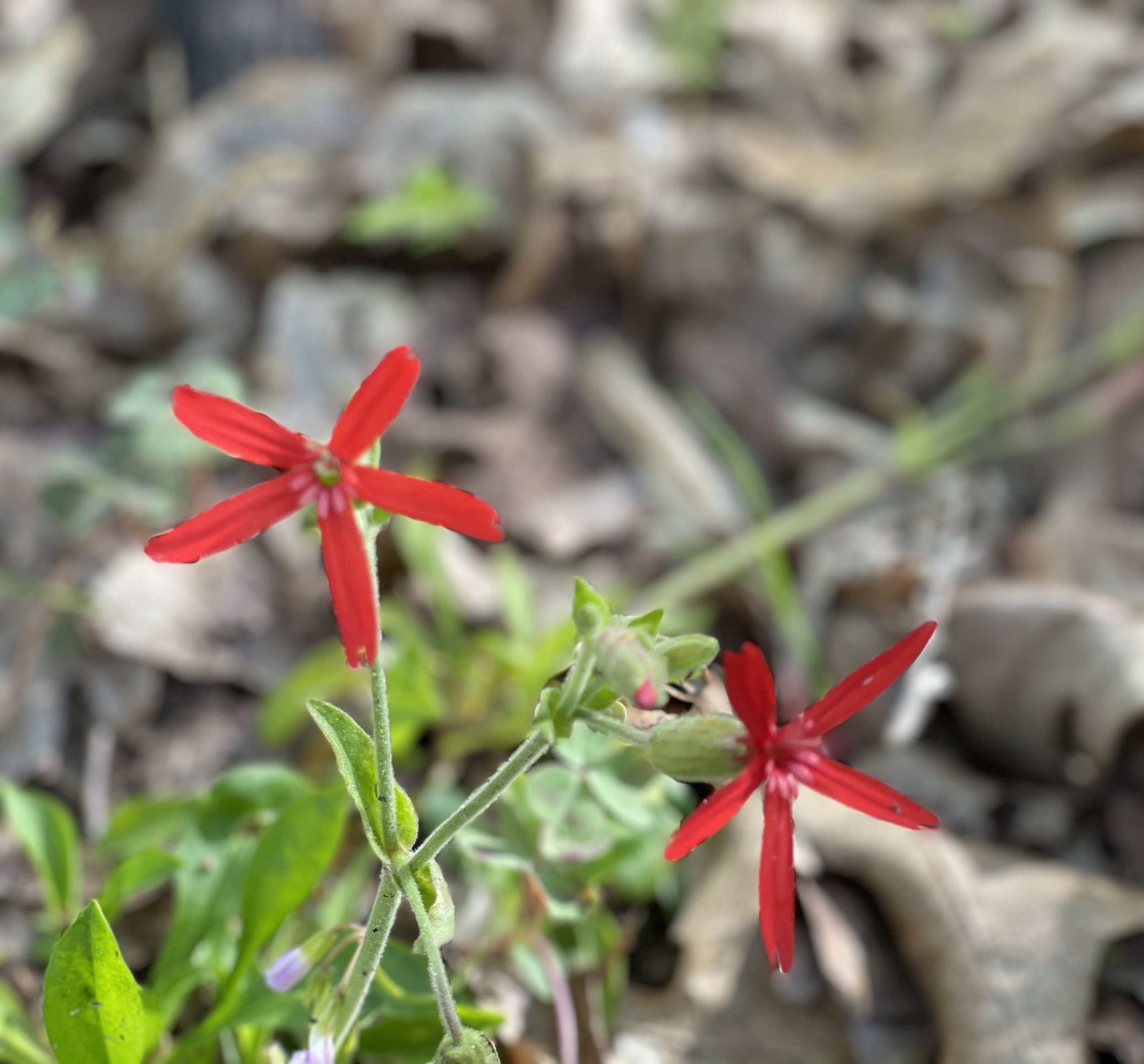
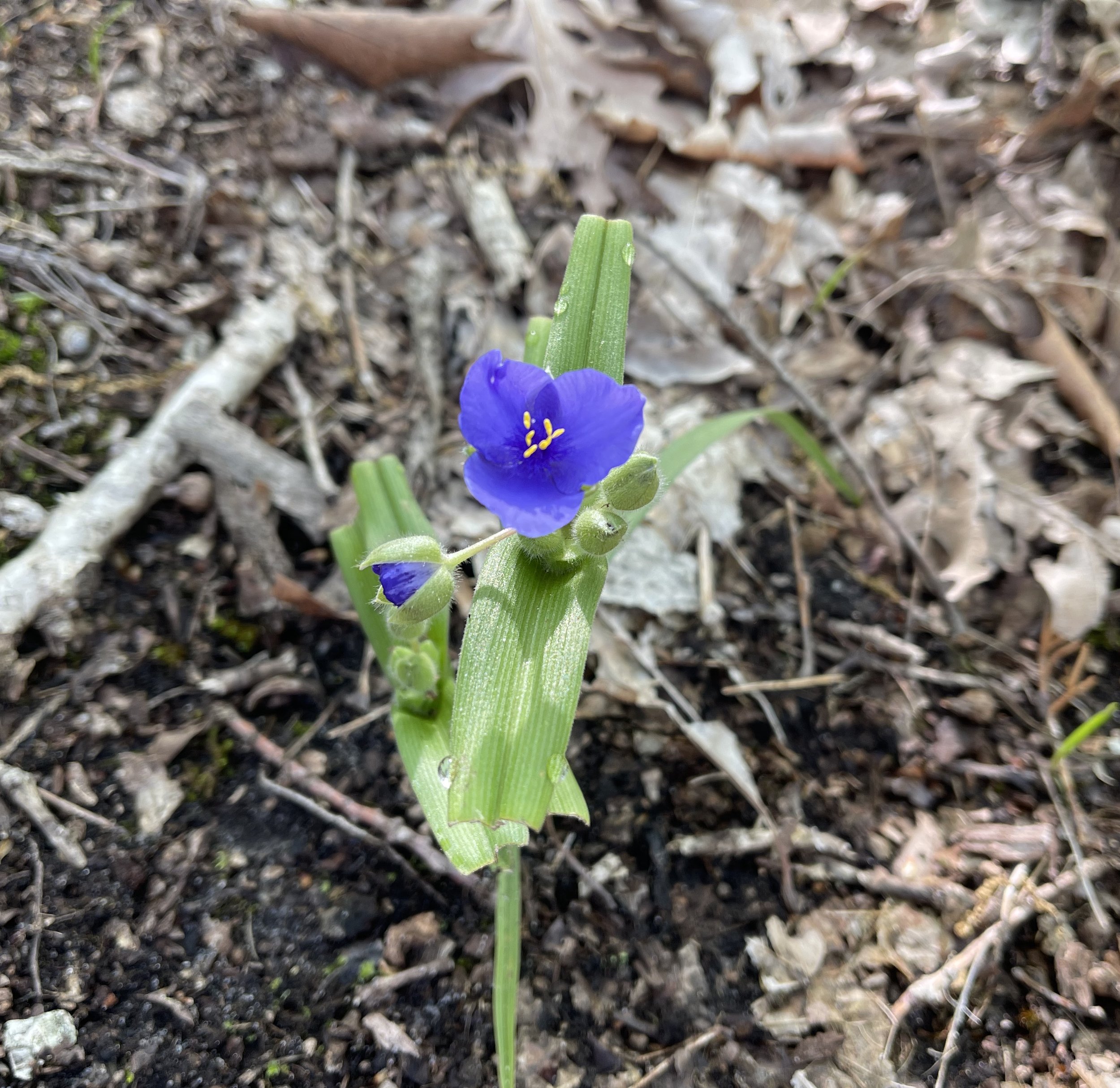
The flowers are beginning to bloom.

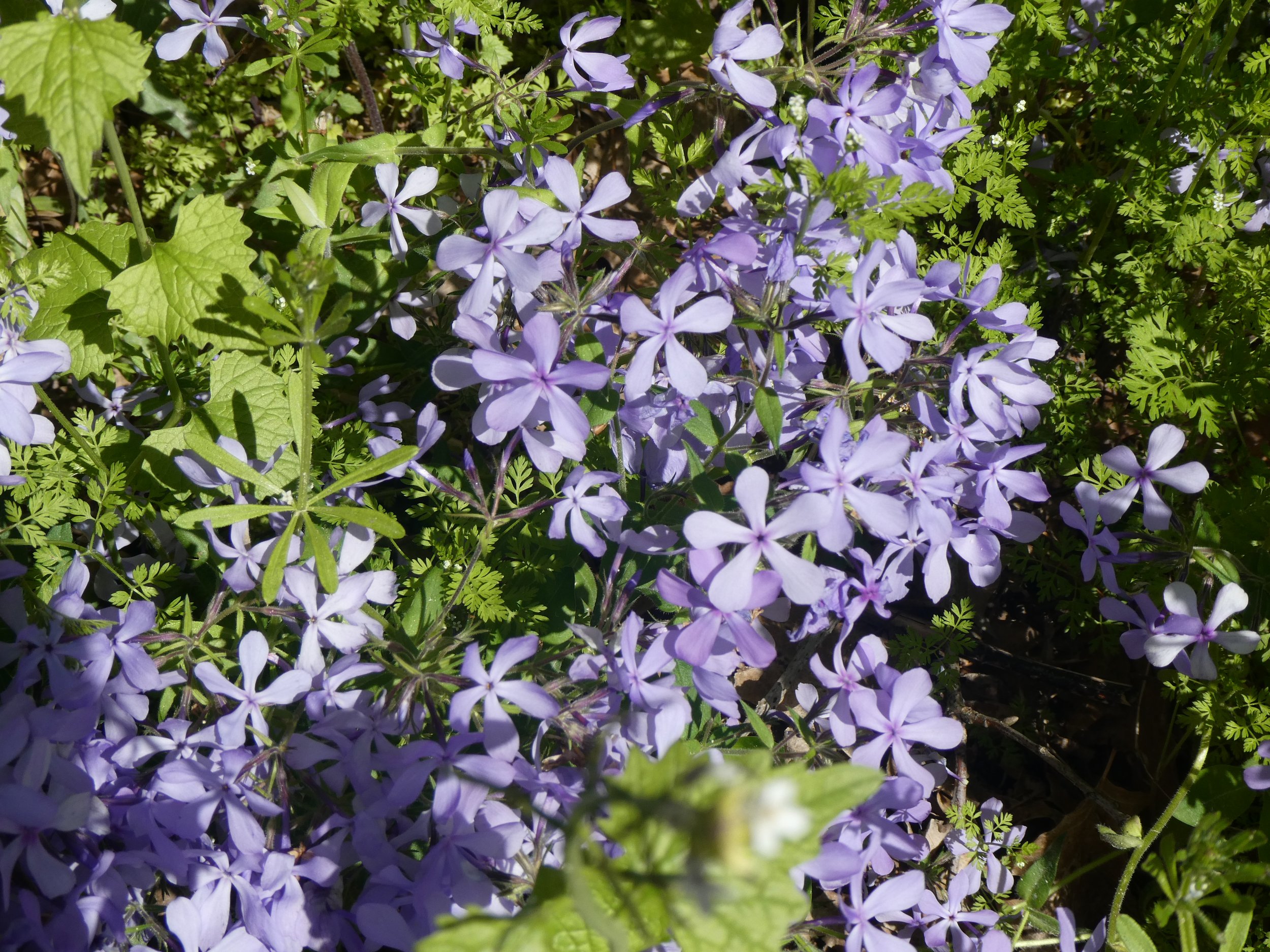
A lot of color is added to the trail
We are also heavy into learning about the expedition of Lewis and Clark.

Every couple of miles there is a sign telling about them.
We also see more grain elevators,


We take a break to take in the scenery.
And soon we are back to Blufton and the van. We thanks Doug and head off to the Marthasville Community Center where we will be spending the night.
Mileage 33.64
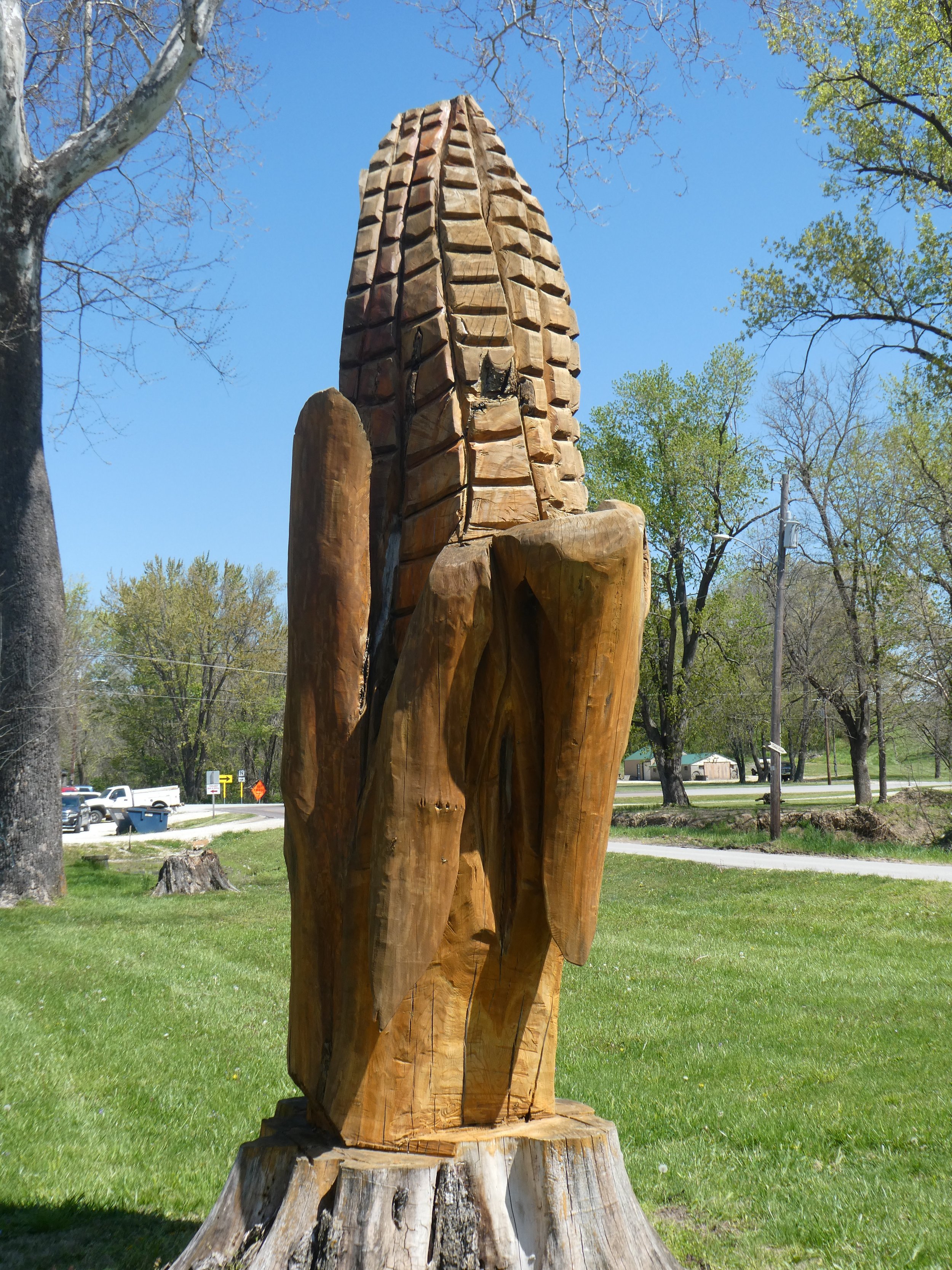
In Alaska one would see a grizzly bear made with a chain saw…here it is corn.
It rained hard during the night. We decided to delay our departure till about 10 as the forecast was for cloudy, but not raining. Our plan for today is that Mary and I will start the ride here go to Defiance and then turn around. Don will drive to Defiance ride to Marthasville and go back to Defiance. This means that we don’t have to shuttle two vehicles. When we meet up with Don on the trail, he mentions that there is a sketchy town coming up. He doesn’t explain further so we are not sure what to expect.

Meanwhile we see more old grain elevators.
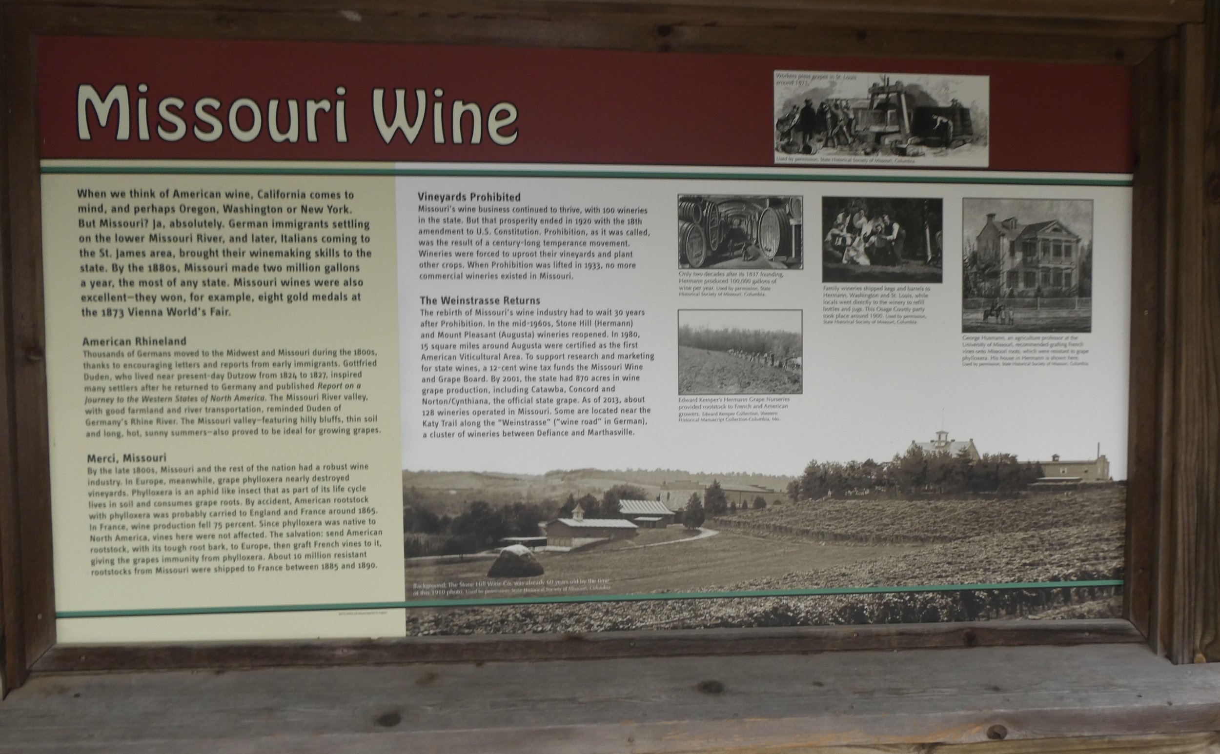
Learn interesting facts about the importance of wine here,
and also realize that Daniel Boone was quite the historic figure in this area.

As Mary and I were peddling along enjoying the ride, we hear a scream made by two fighting animals. Had we been in bear country we would have clearly thought that two males were fighting. Instead in the distance we see quite a bit smaller animals tearing into each other. They were two groundhogs that by the time we were near them they were so exhausted they didn’t even move,

Never knew they could make such a loud noise.
When we arrived to the town that Don had warned us about, we had to laugh. There were artists sketching thru out the town. It was a one day contest where professionals and amateurs spent the day sketching and then displayed their sketches. As we walked around the town we were able to observe many of the artists at work. At the end of the day the sketches were judged and the winner got $500.00.
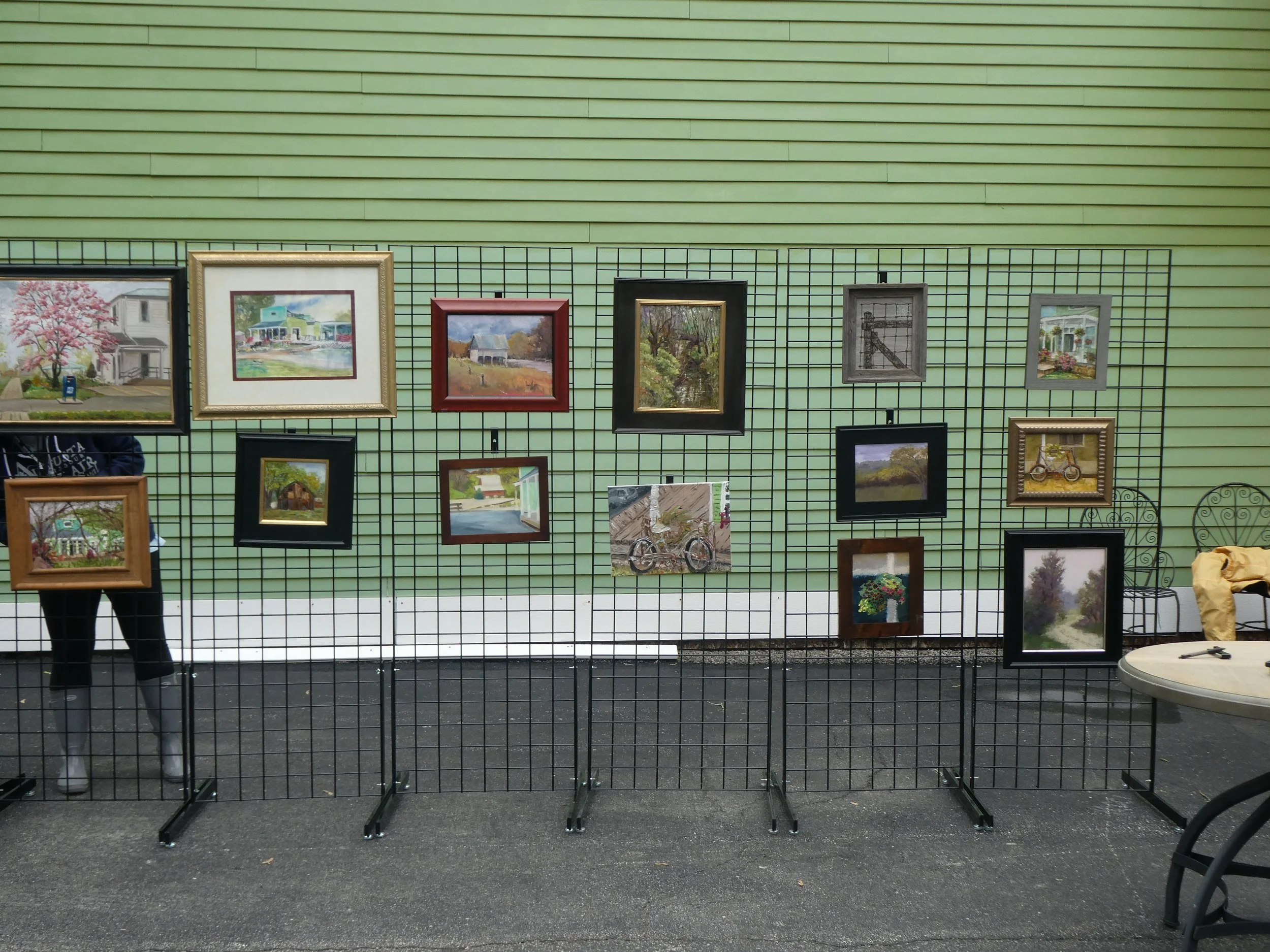
There were over 100 artists from 16 states participating in the event.
We finished up today’s ride early so we decided to head to the nearby town of Herman. It is known for its wineries and restaurants. We will have to give both a try.
One of the first things that caught our eye was the ornate County Courthouse.
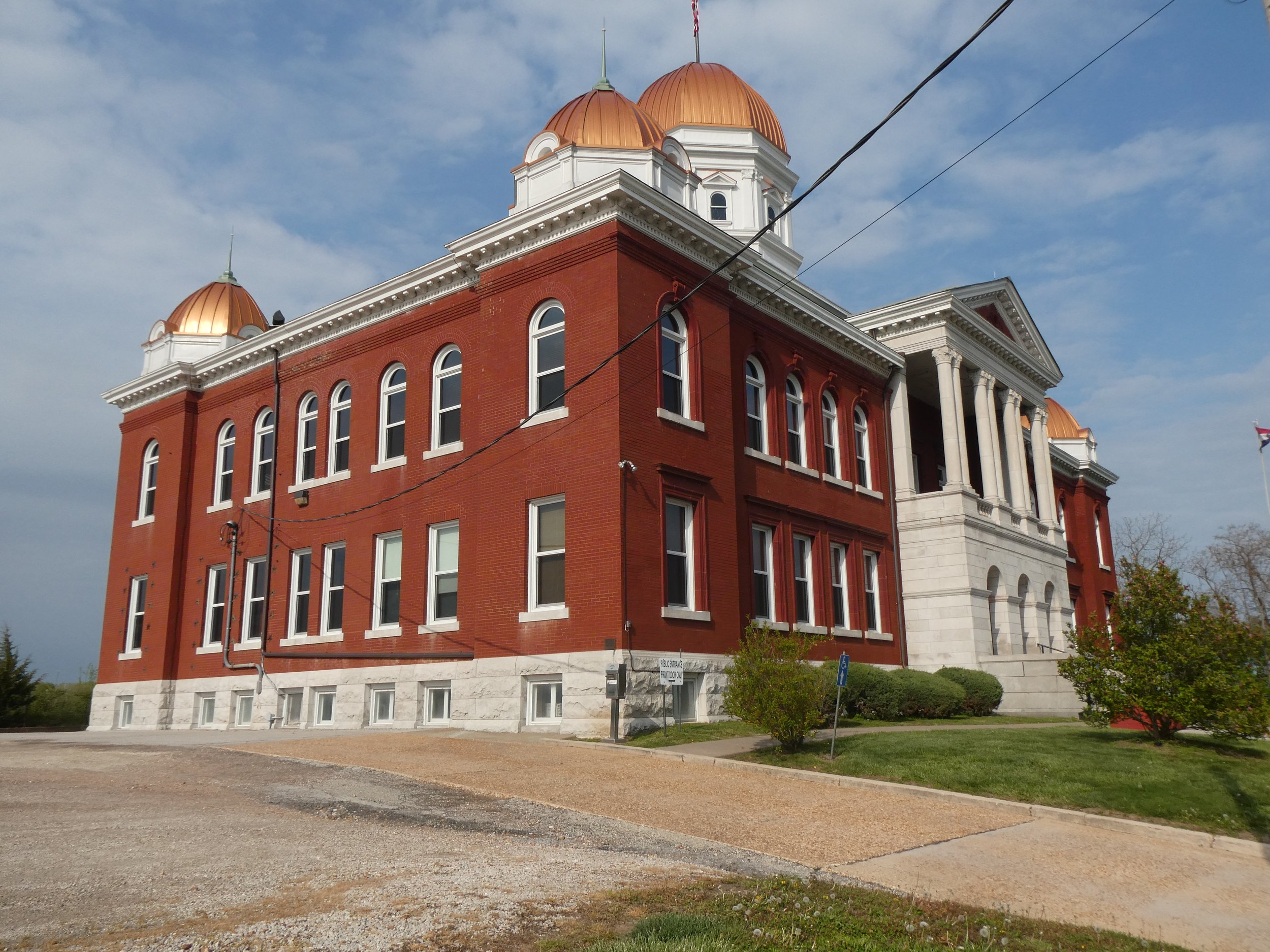
Many of the old buildings were quite impressive
Herman was named after this German warrior.


a description of Hermann
We had been told that this town was well known for its German food and when we saw a restaurant advertising its bratwurst , we decided to give it a try. We weren’t disappointed, We headed back to the community campground. There is a major rain storm coming tonight so we may be having a non peddle day tomorrow.
Todays’s miles 19.50
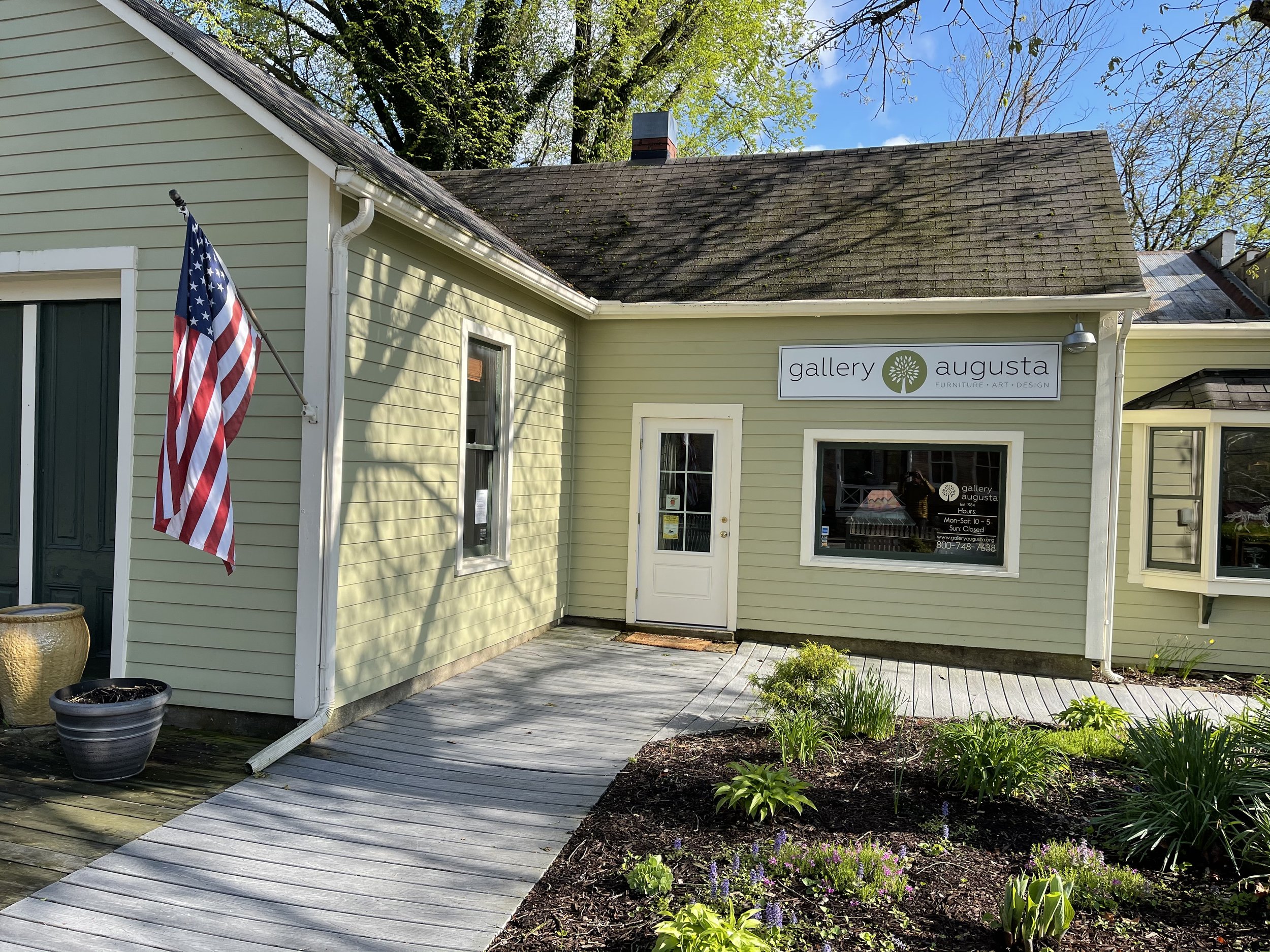
The rain poured most of the night and into the morning, we are not going anywhere on the bikes. We decided to visit a Daniel Boone Historic Site and the town of Augusta where the art festival is continuing. Yesterday Don had met the owner of a gallery and he suggested that this town was worth visiting.
First we check out an area that has more info about Daniel Boone .
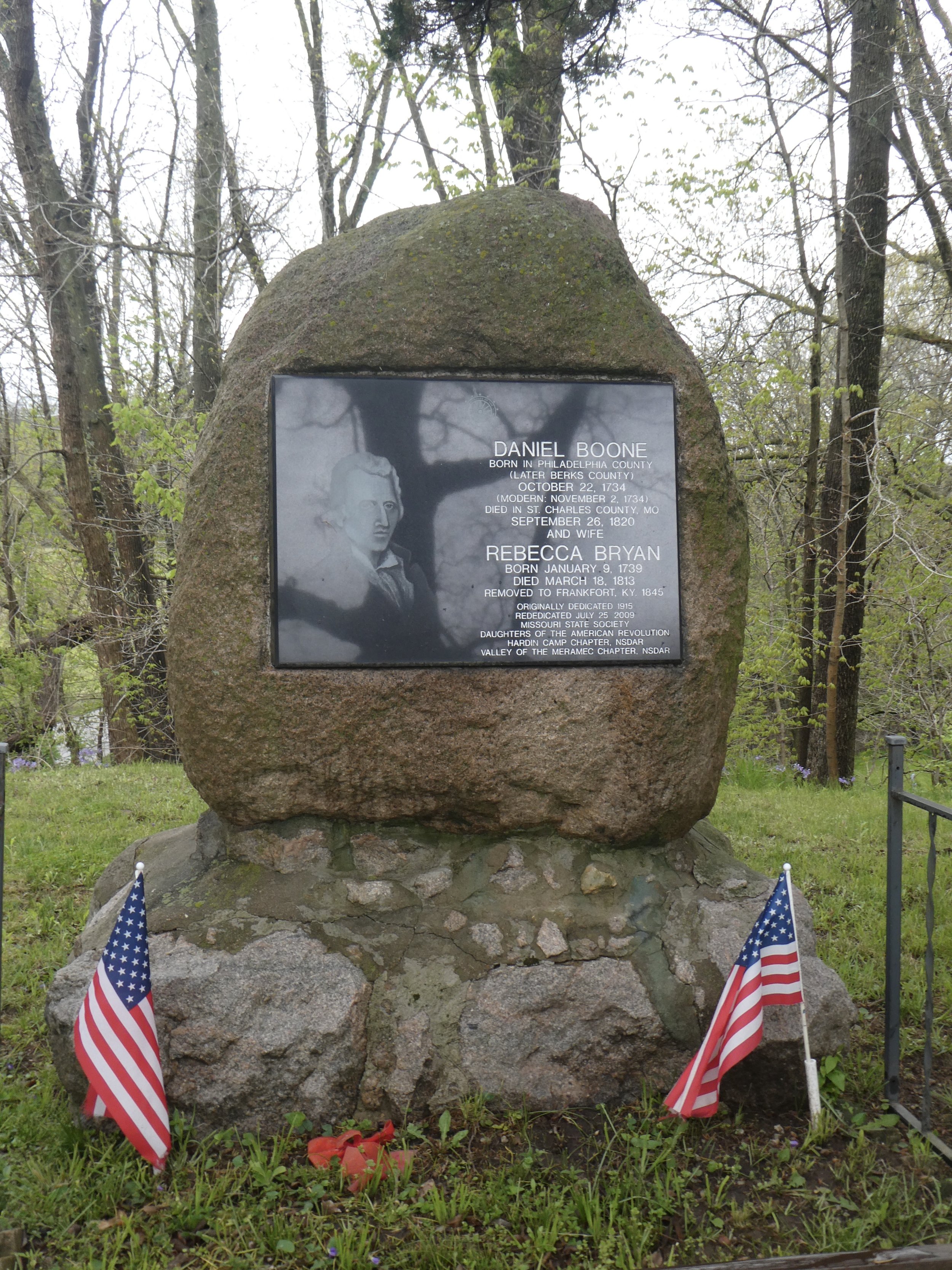
As usual it is interesting to learn about the significance of Daniel Boone’s influence in the area.
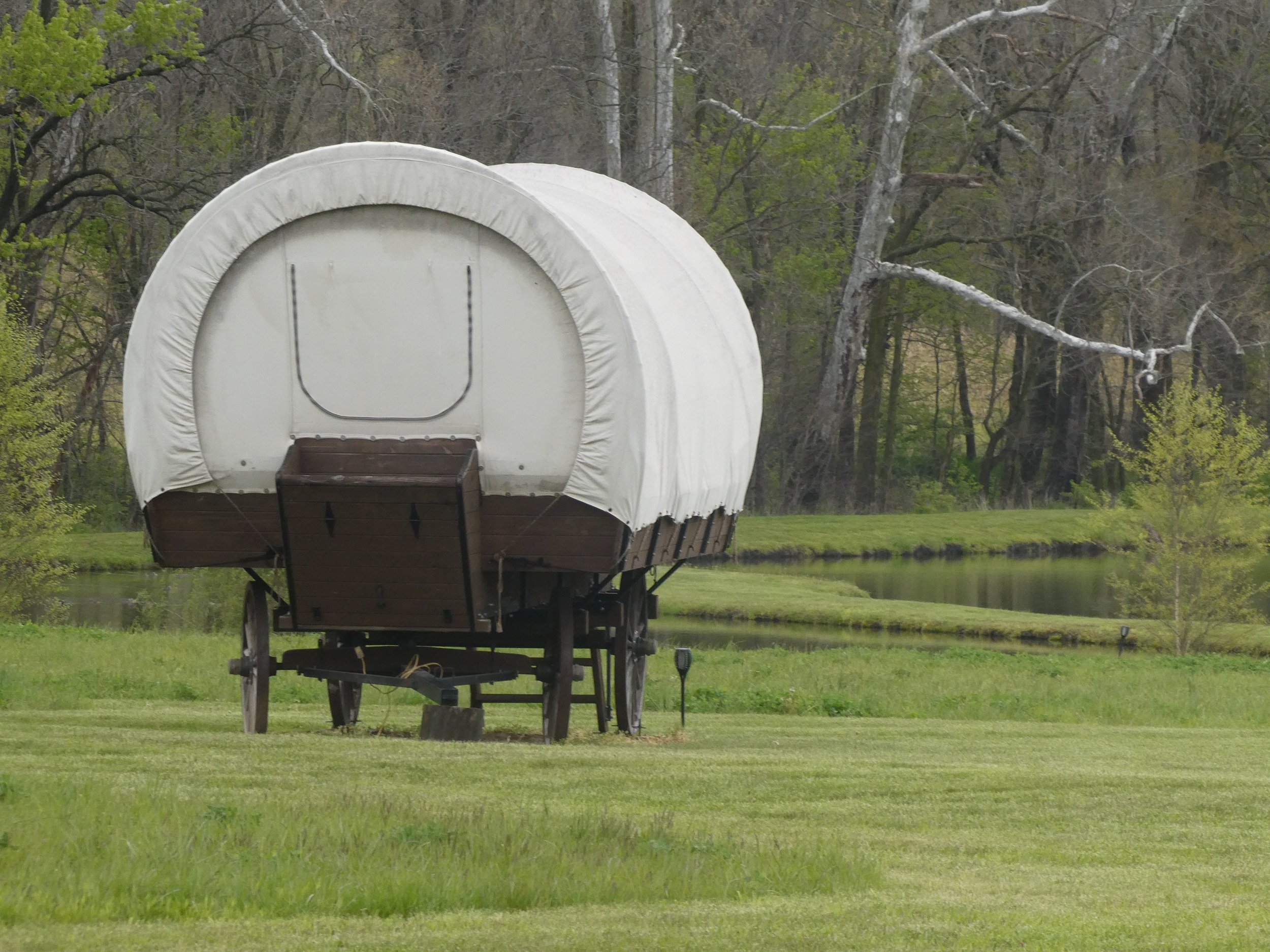
It would have been quite a different mode of travel to cross Missouri in a covered wagon.

A poster describes the Art Gallery event.
We drive around the town and check out some of the wineries. We learn about the town from a man that Don met yesterday who owns a gallery here. There is a wealthy individual who has been buying most of the towns wineries. Even though they appear to be quite different the owner is the same. This person is also buying up most of the lodging locations as well. There is mixed opinions in the town whether this is good or bad. Needless to say the town is definitely getting a major face lift. The idea is that in the near future Augusta will become a destination for wine and artists. We spent some time checking out the well done gallery
The rain had turned to sun by the time we were ready to head back to our campground.
Before we headed to our parking spot for the night, we found out about Missouri mud. A road that we had traveled yesterday was now a muddy quagmire. We realized it too late as our wheels sunk in. Fortunately, a man had a pick up truck and was was able to pull us out. It was a lesson learned.
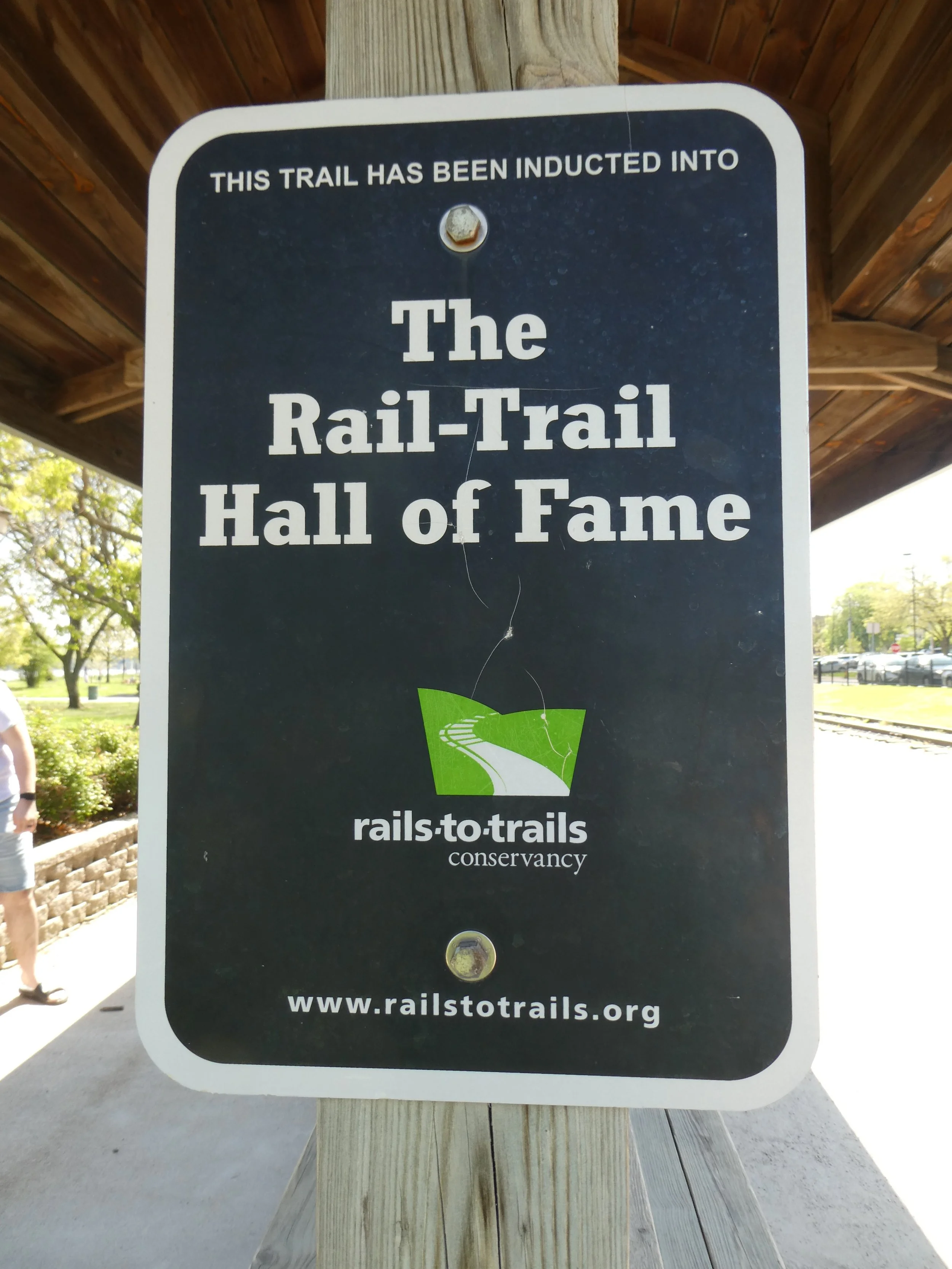
Today the sun is shining and the wet trail is quickly becoming dry. We can see that the trails surface can quickly change due to the moisture level. Wider tires are nicer when the surface is soft. We drive to St. Charles after we drop Mary’s van off at Defiance.. It is a beautiful sunny day and a lot of people are out enjoying the trail. Once again we take time to read the signs at one of the trailheads.
We understand why this is one of the top ten rails to trails.
We ride as a trio to Defiance then Mary drives her van to St. Charles and Don and I ride back to St. Charles,
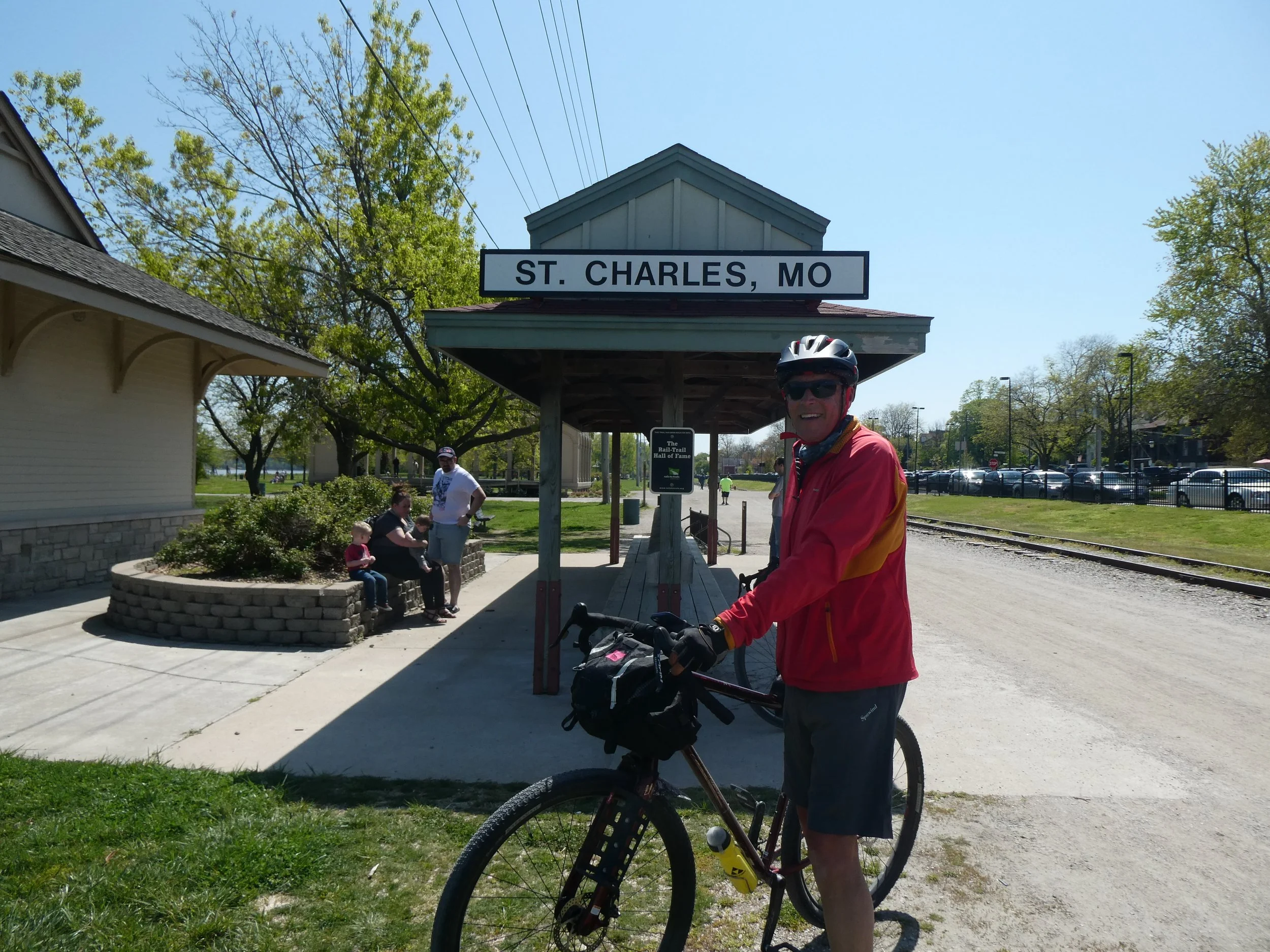
A lot of riders finish here , because where the trail really ends does does not have vehicle access . Tomorrow we will ride from here to the end and back to here. Since we are here early today we decide to walk around the town and also to visit the Louis and Clark museum.

Looks like there is lot to see here.

a sculpture of Lewis and Clark near the trail head.

The museum was quite good as we walked around the displays and watched a movie about the expedition.


Another use for a buffalo hide.
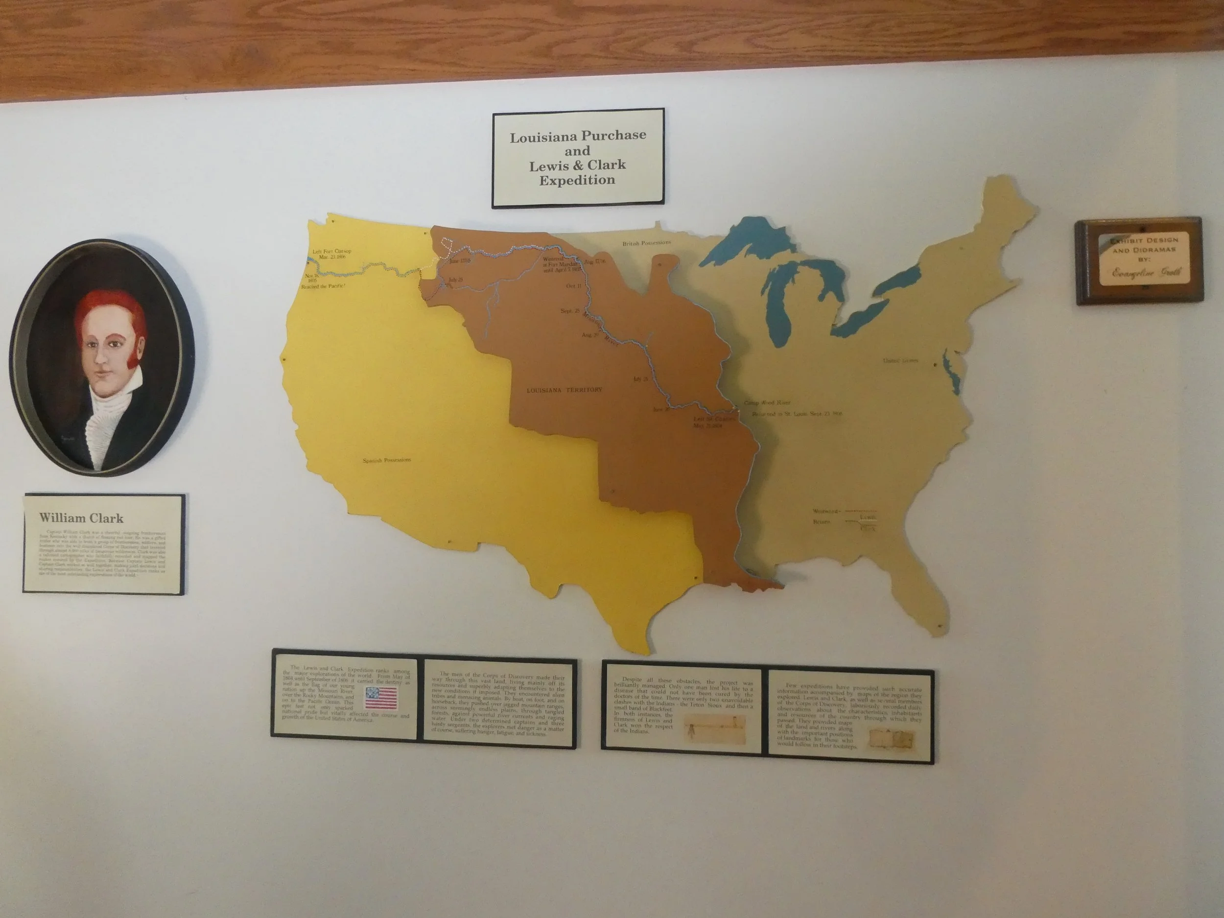
More Lewis and Clark facts.
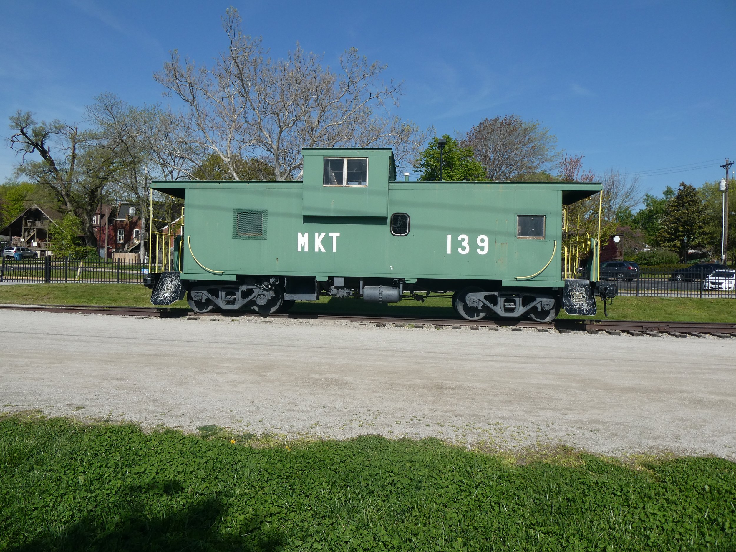
Another train car.
Tonight we are camping at Babler Memorial state Park
Today’s mileage 21.17
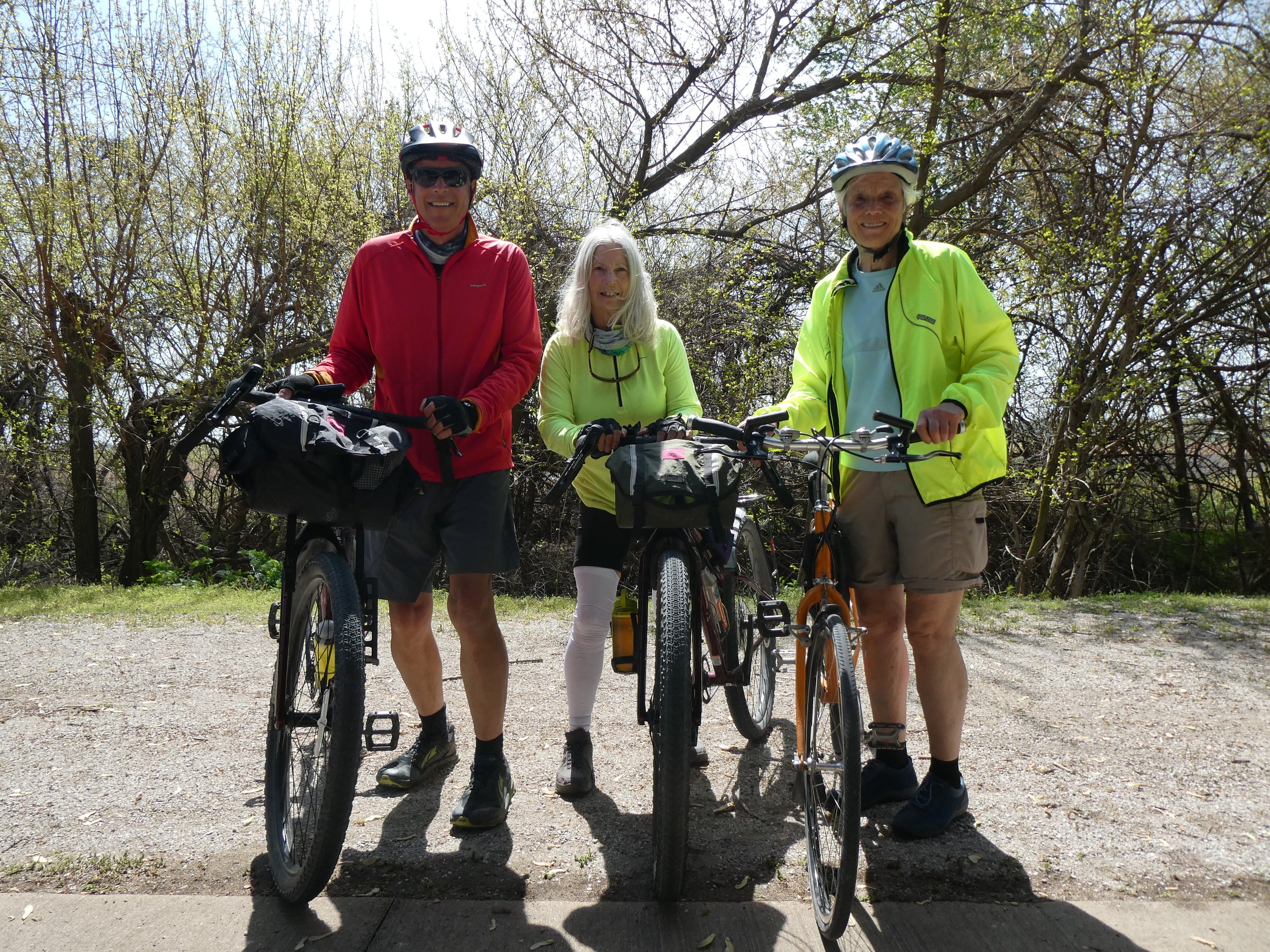
This is the day we will complete the Katy Trail. We drive back to the large parking lot at the St. Charles Trail head and head to Machens. We take a brief stop at the Black Walnut trail head. This is the closet trailhead to the end.

We are greeted by a yellow dog who seems to know just when bikers are arriving.

Soon we are at the end. Take some end of trail photos.

And we all get to ring the bell.

We read a couple more signs before heading back to St. Charles.
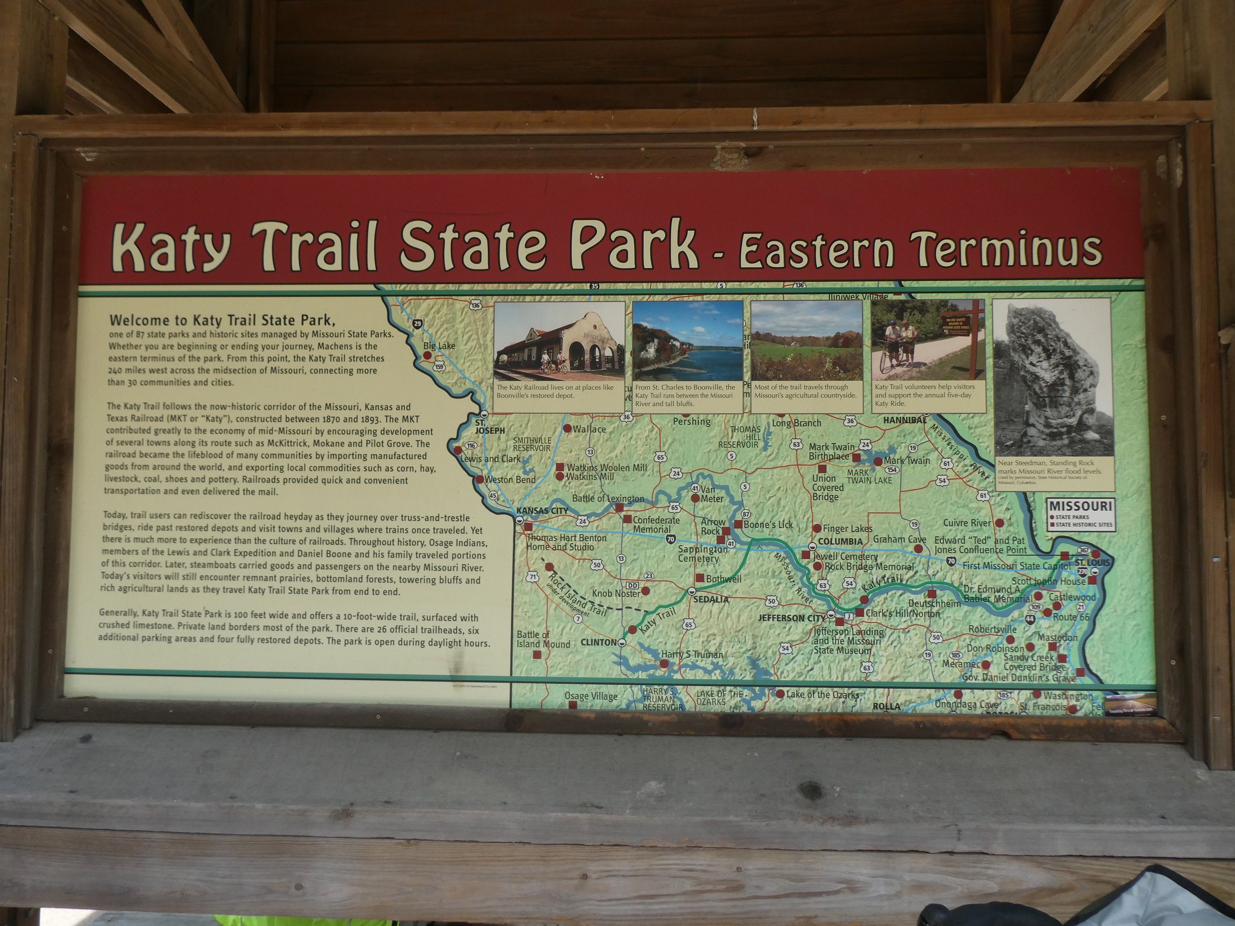
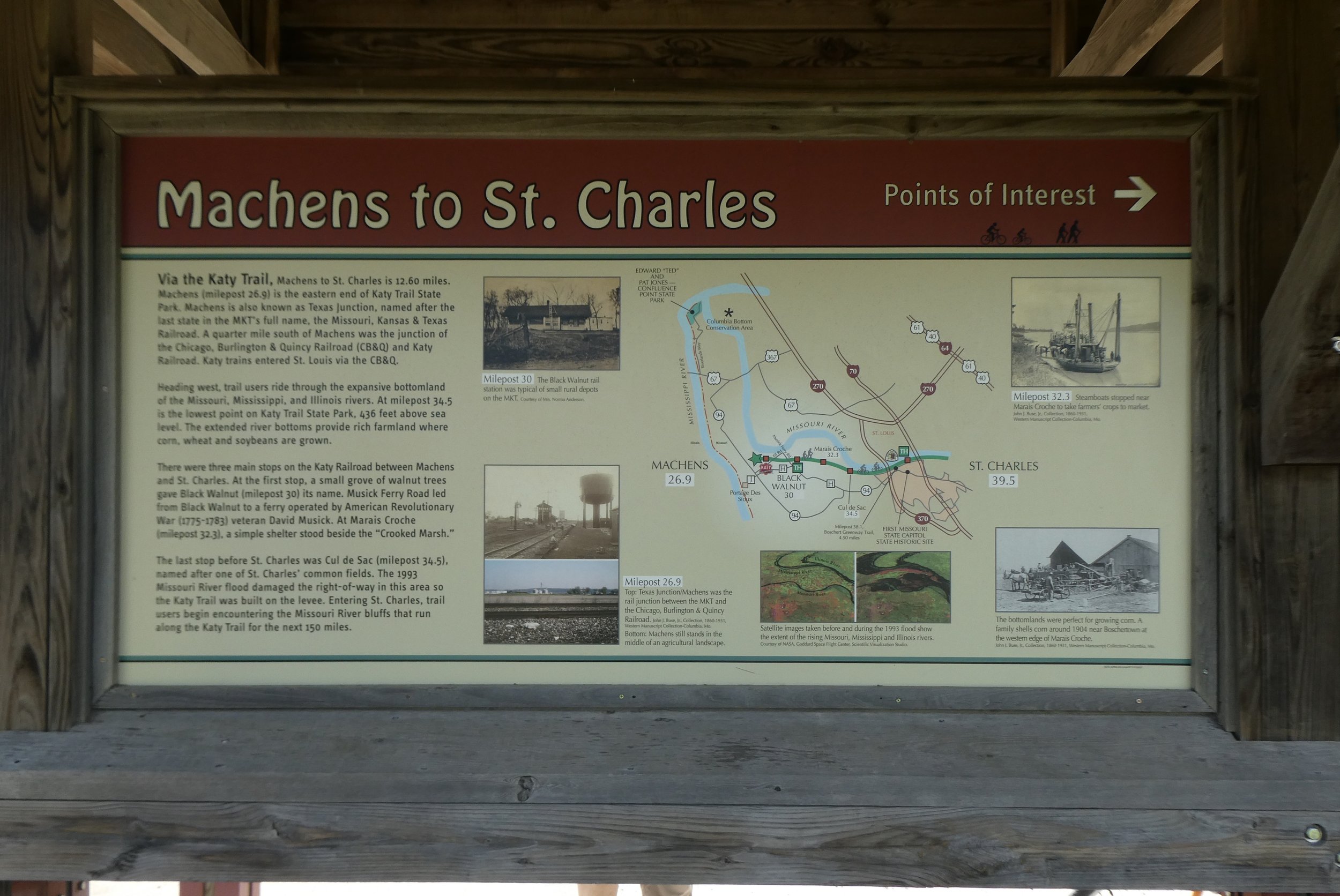
This trail gets 5 stars for being informative.
The trail back to St. Charles is flat…so flat.

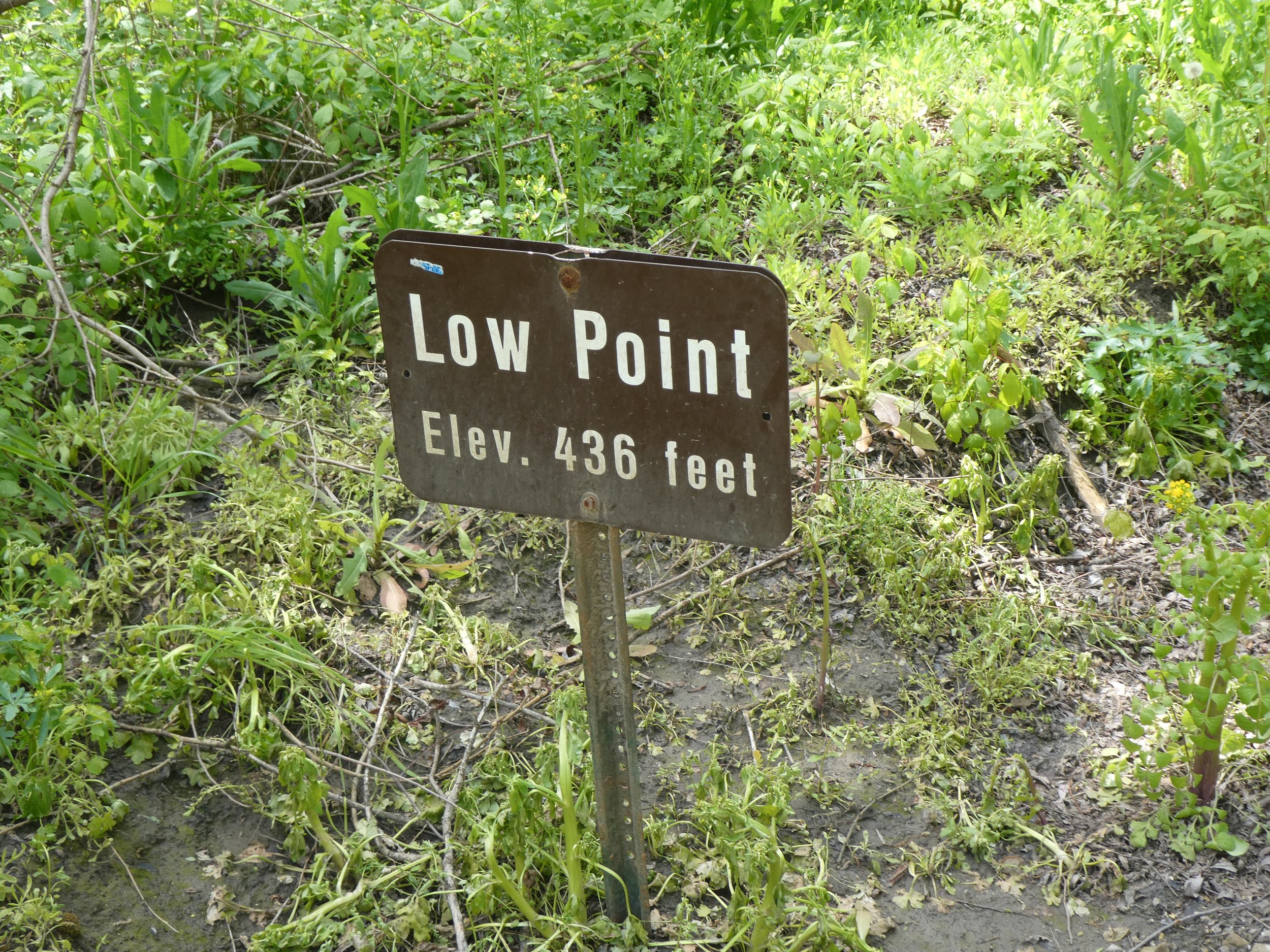
On the first day of the trail we passed by the high point of the trail. Today we see the sign marking the the low point.
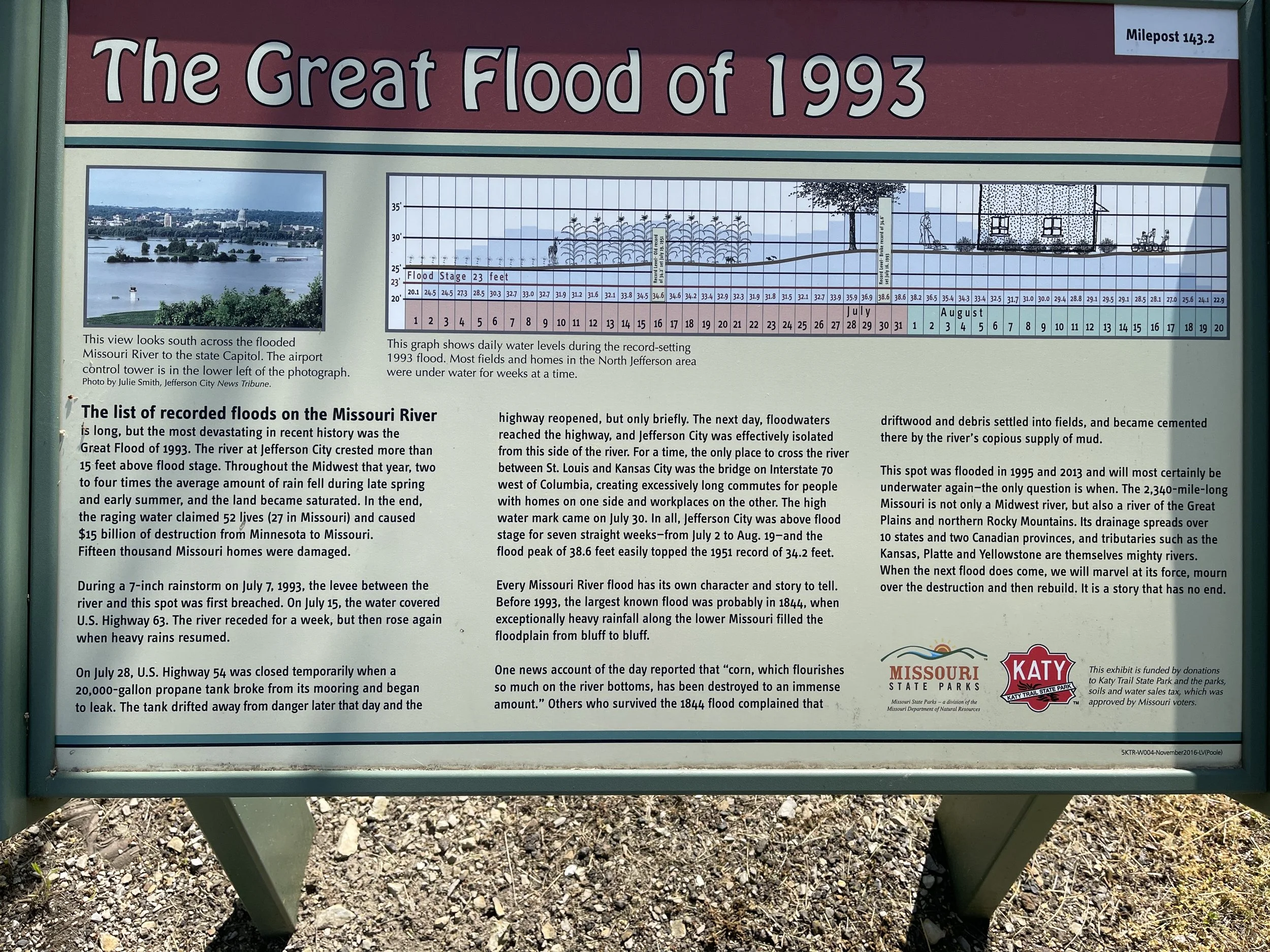
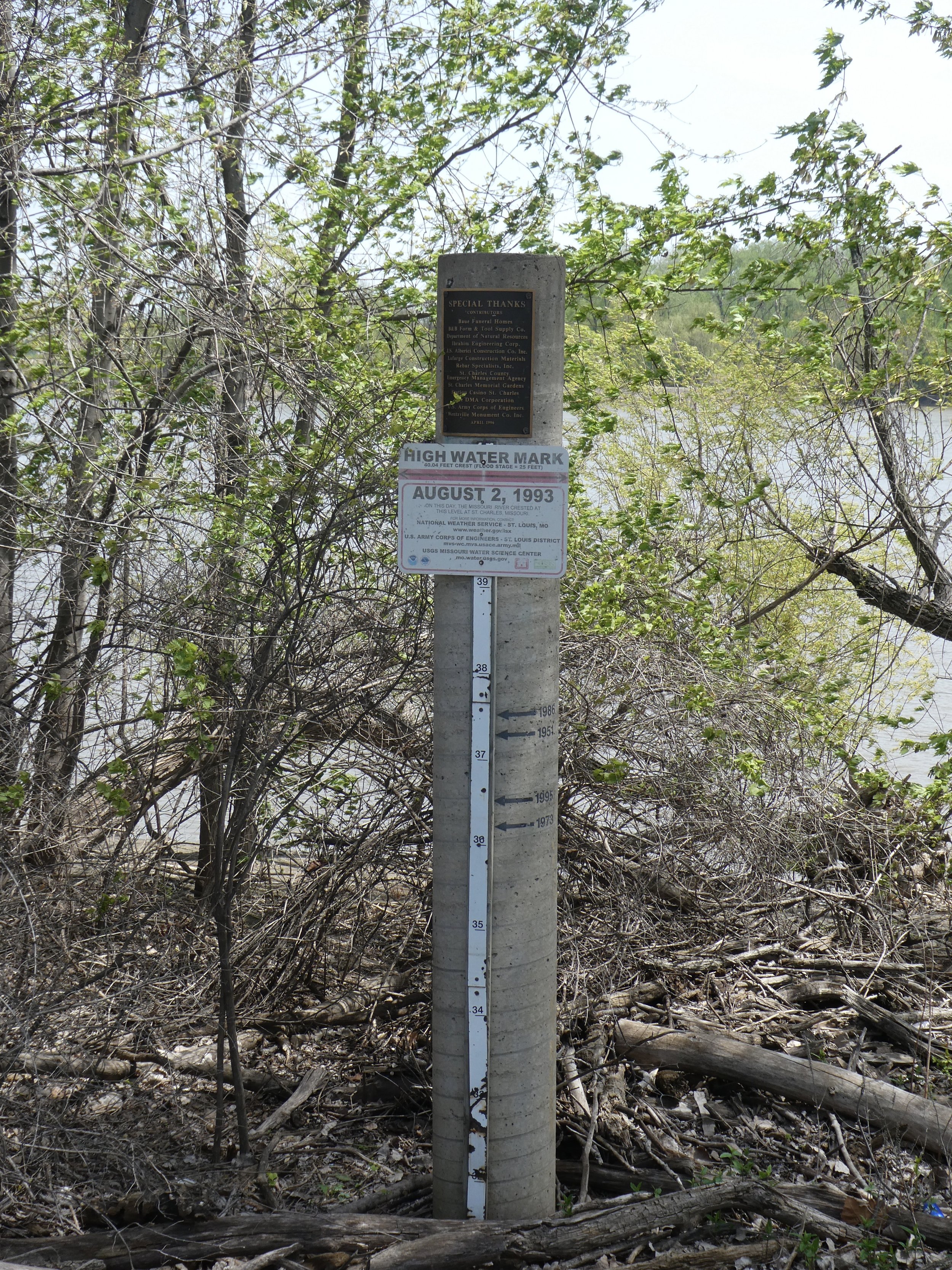
We also see a post recording the flood level in 1993.
Soon we are back to St. Charles and celebrating with…….

A good way to end!
Our trip started April 14 and ended April 26 th.
We had warm weather, snowy weather and rainy weather.
We met lots of nice people
Had no bike issues
Learned a lot about the ares
Peddled 305.90 miles
Katy Trail is a fantastic trail!!!