OR PCT 2014

October 8, 2014


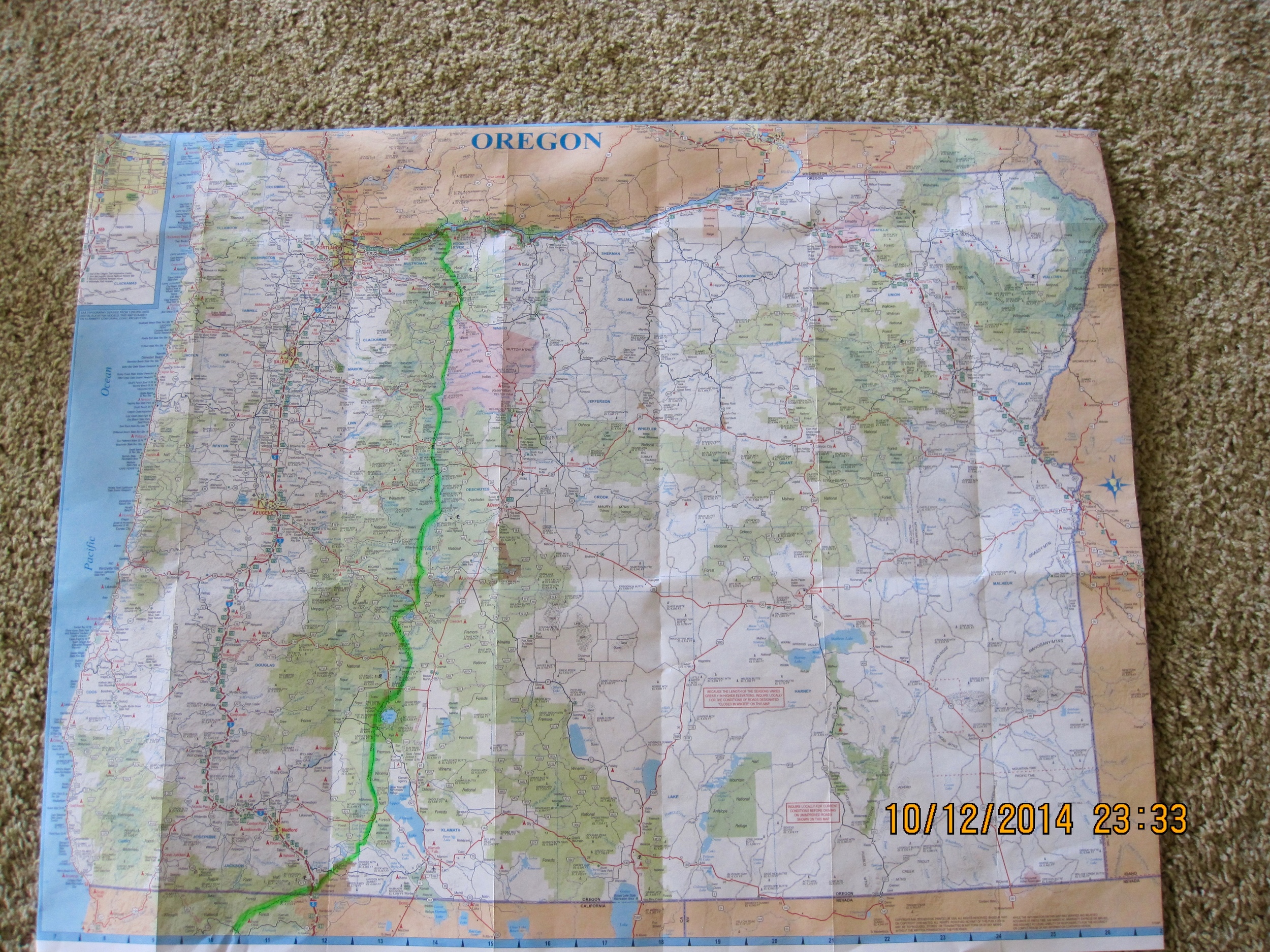
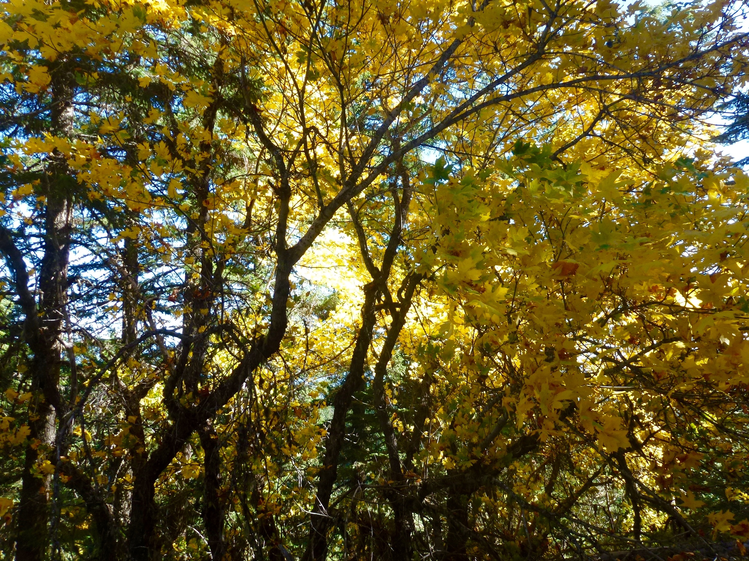
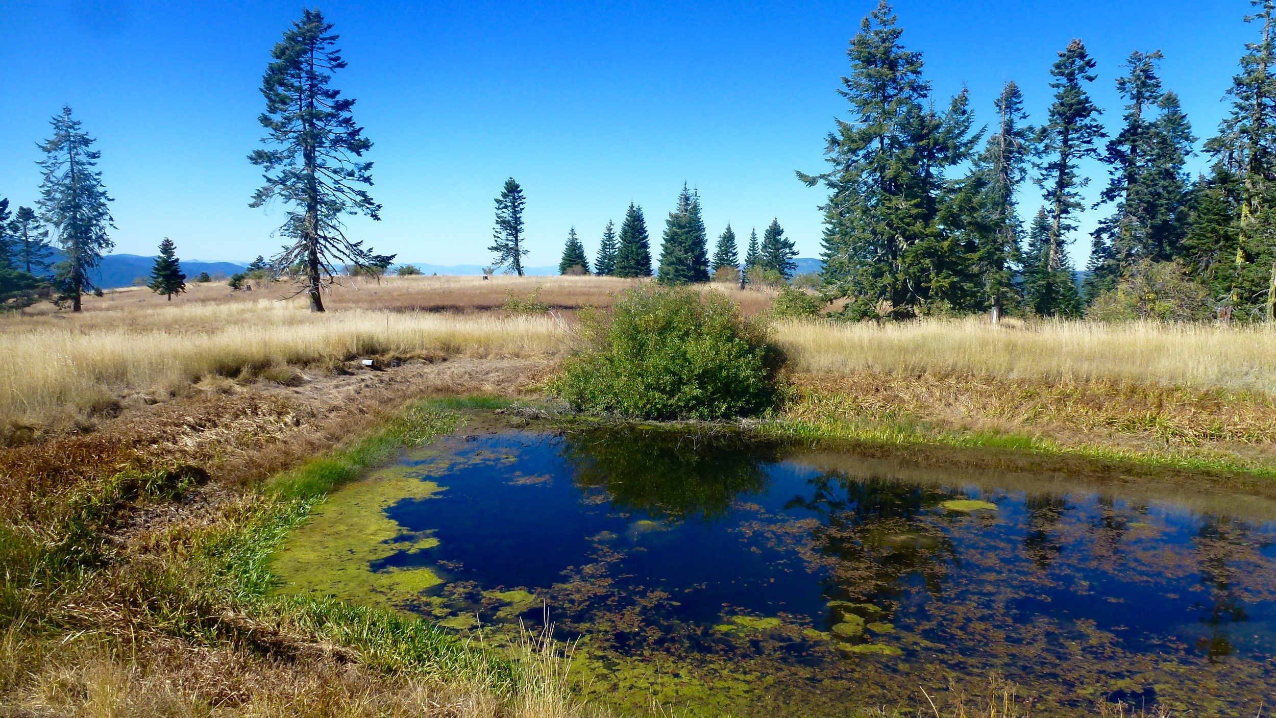
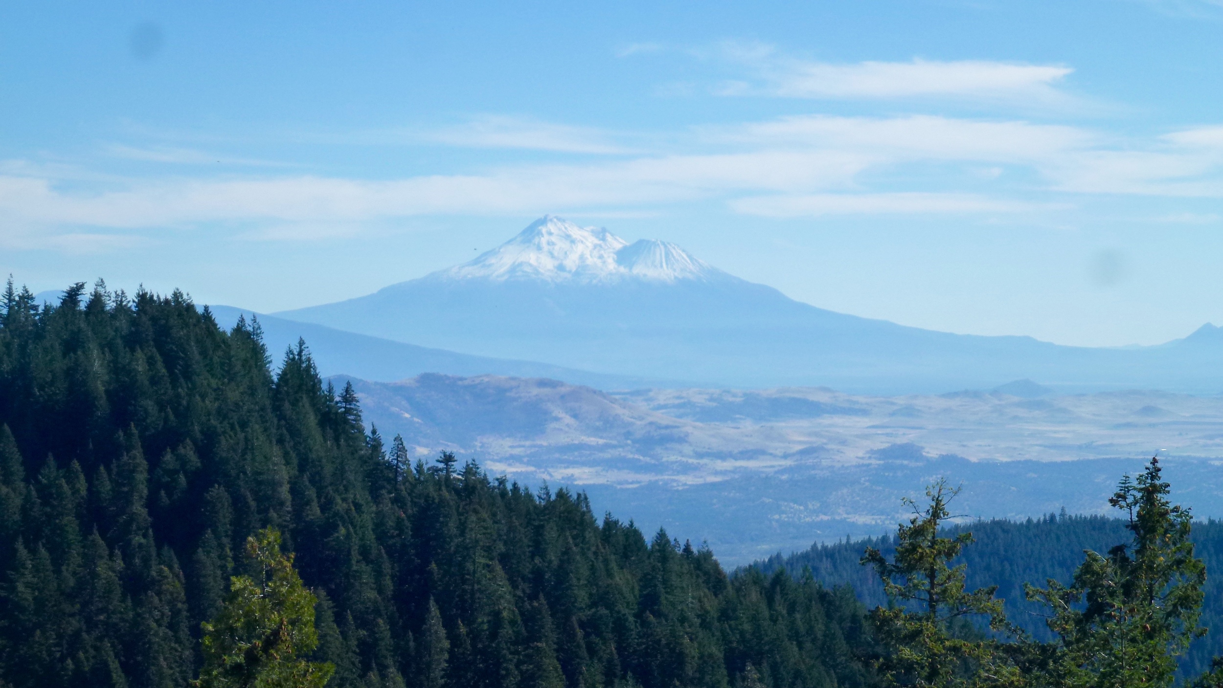
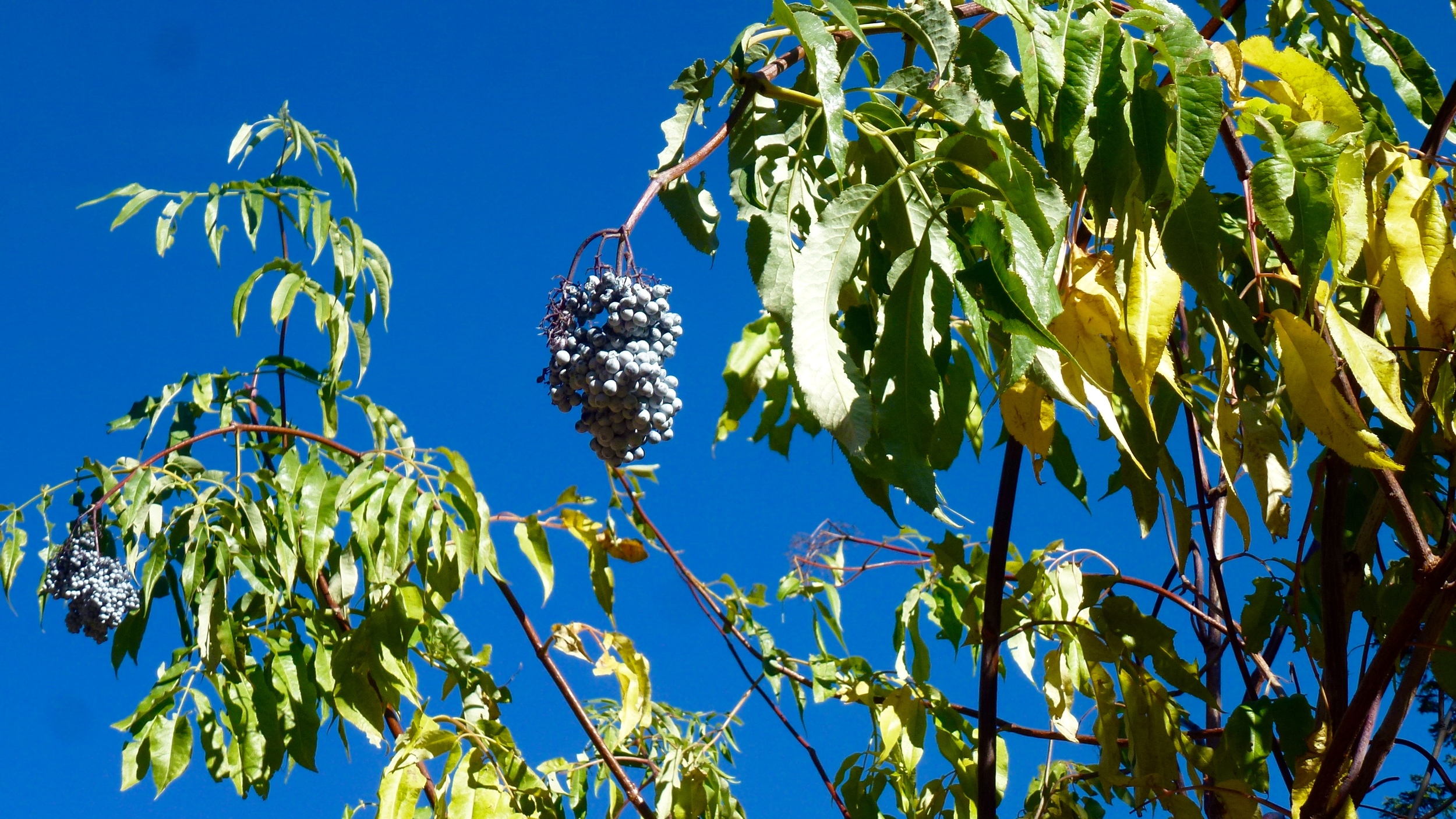
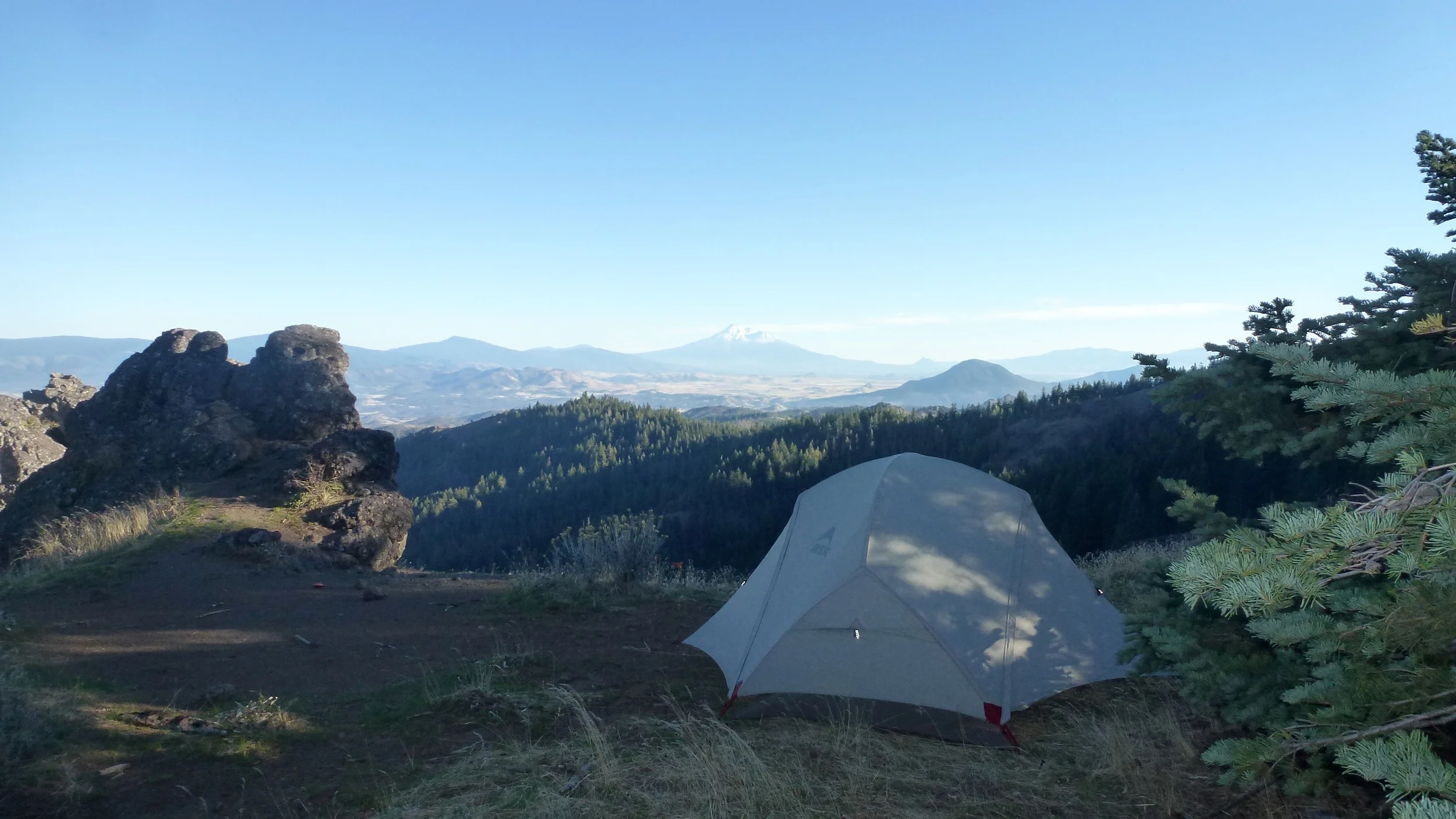
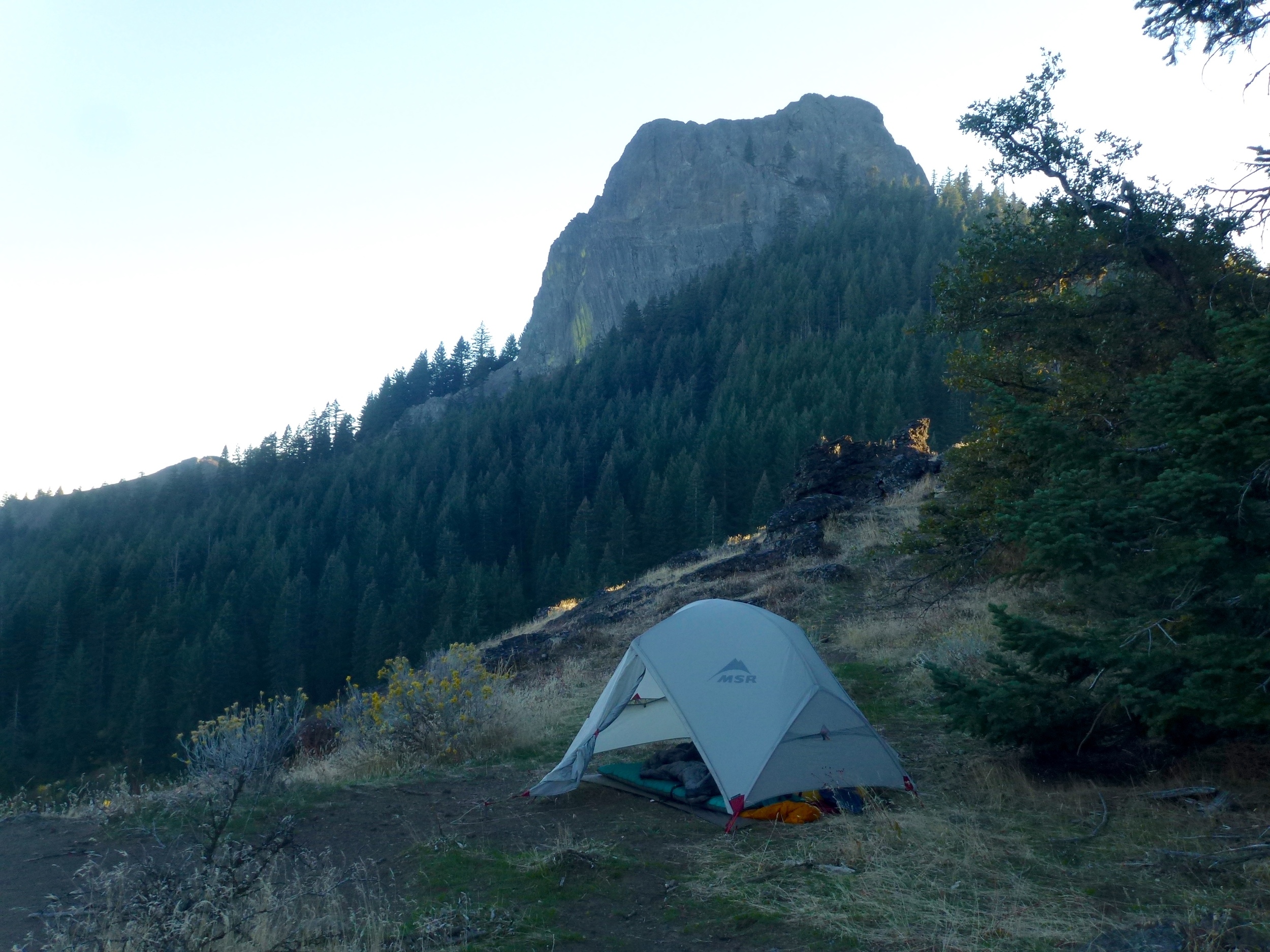
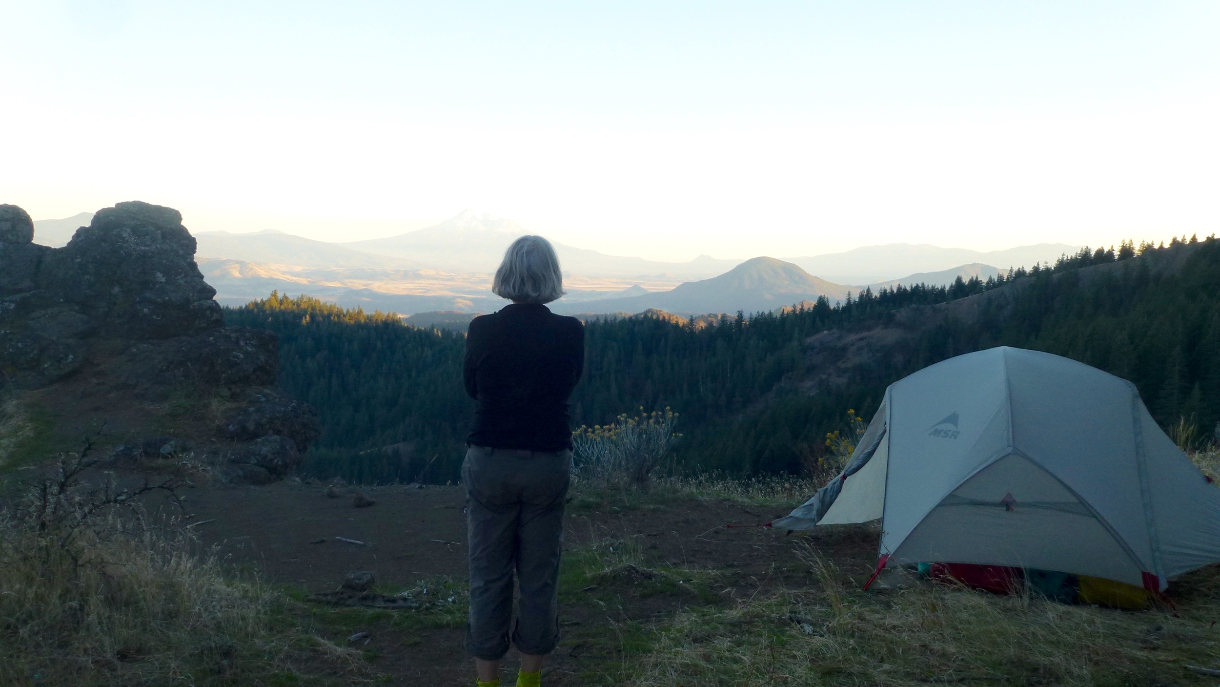
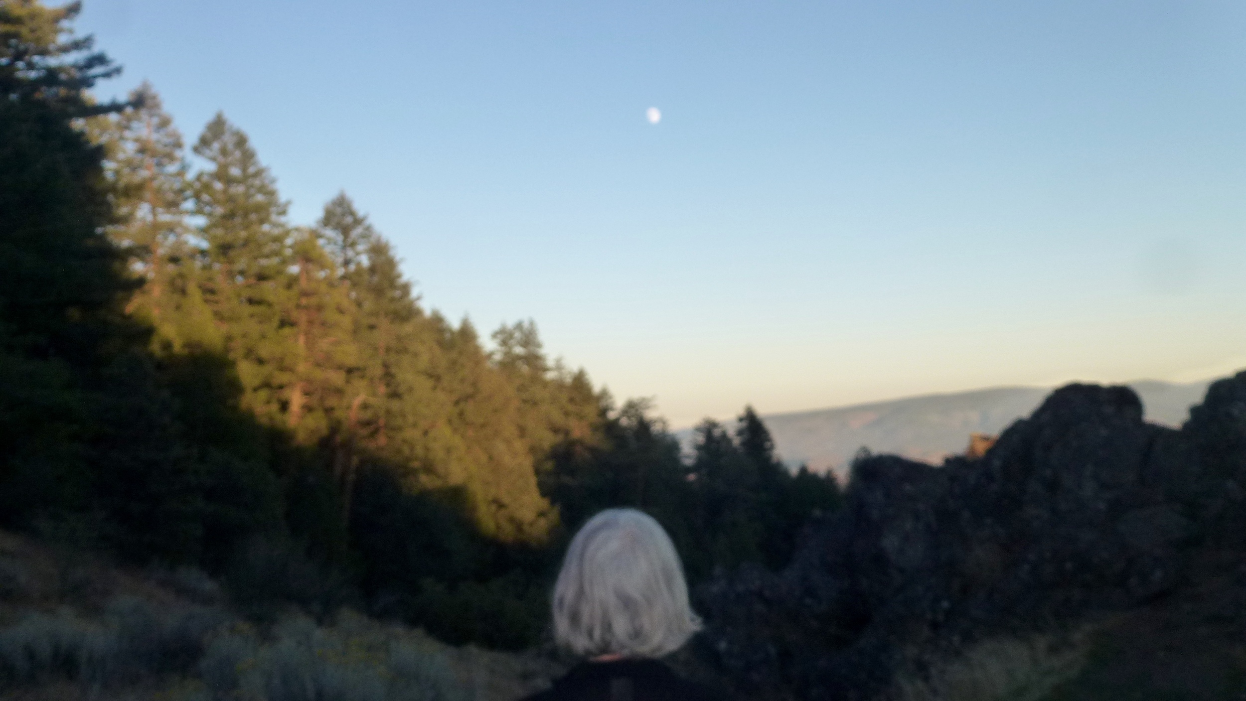
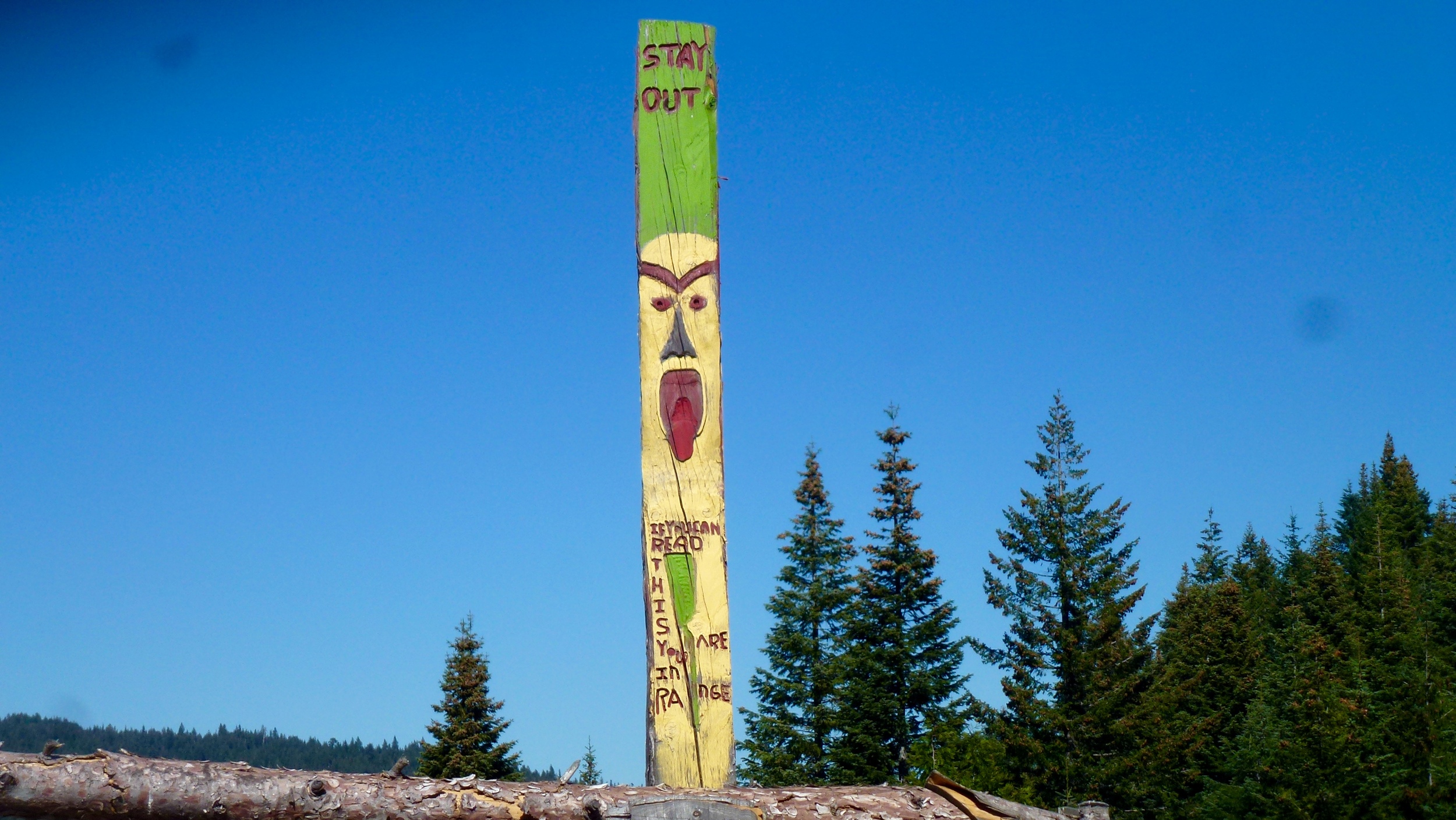
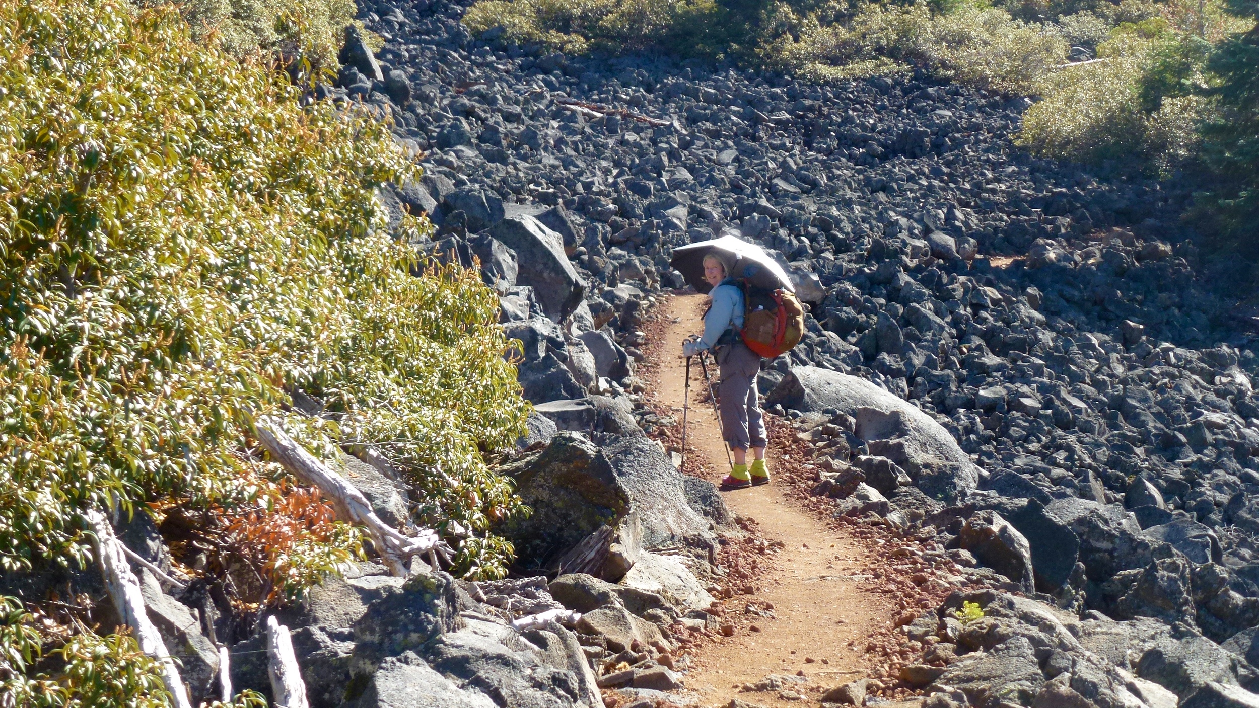
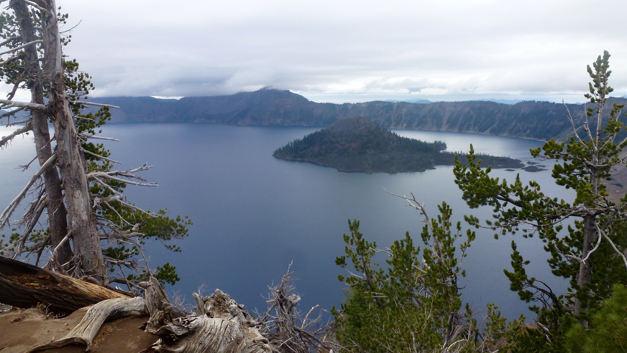
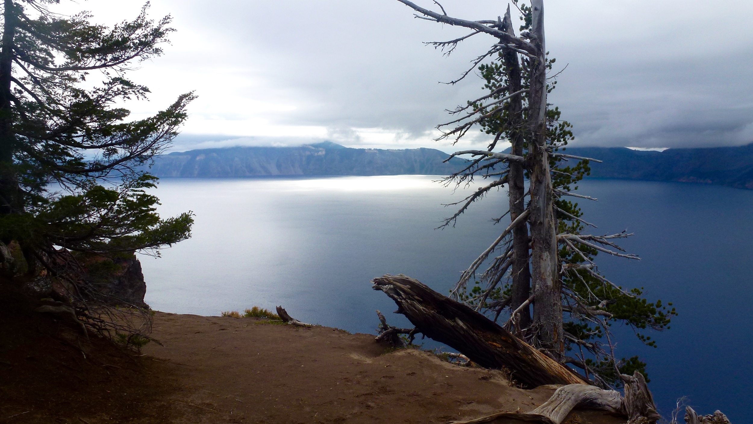
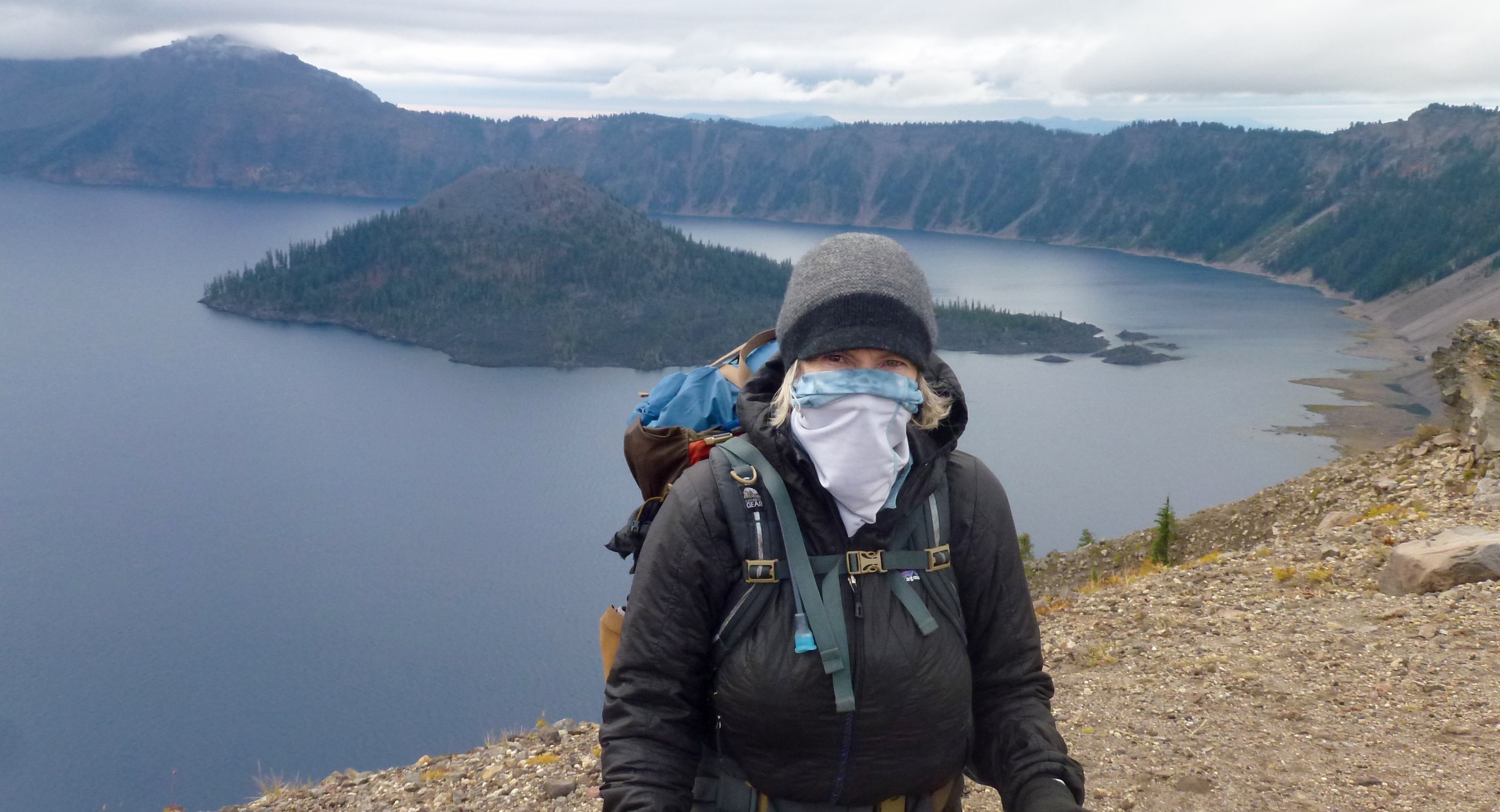
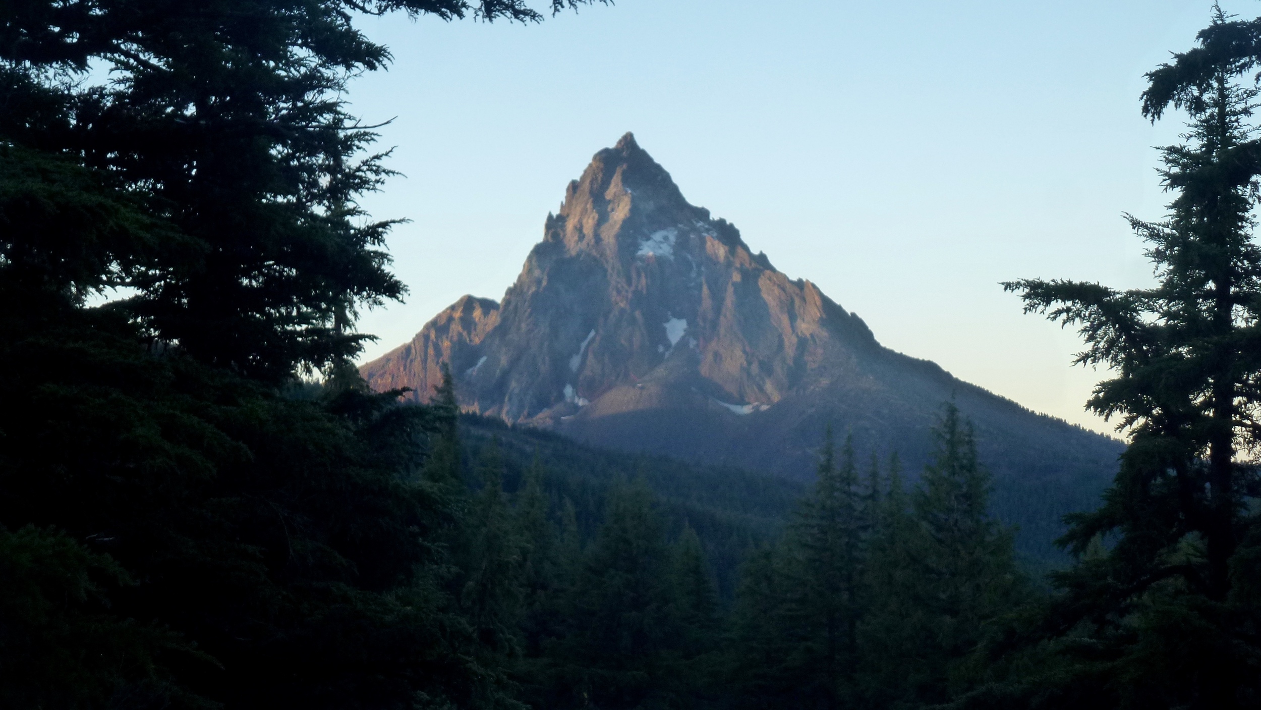
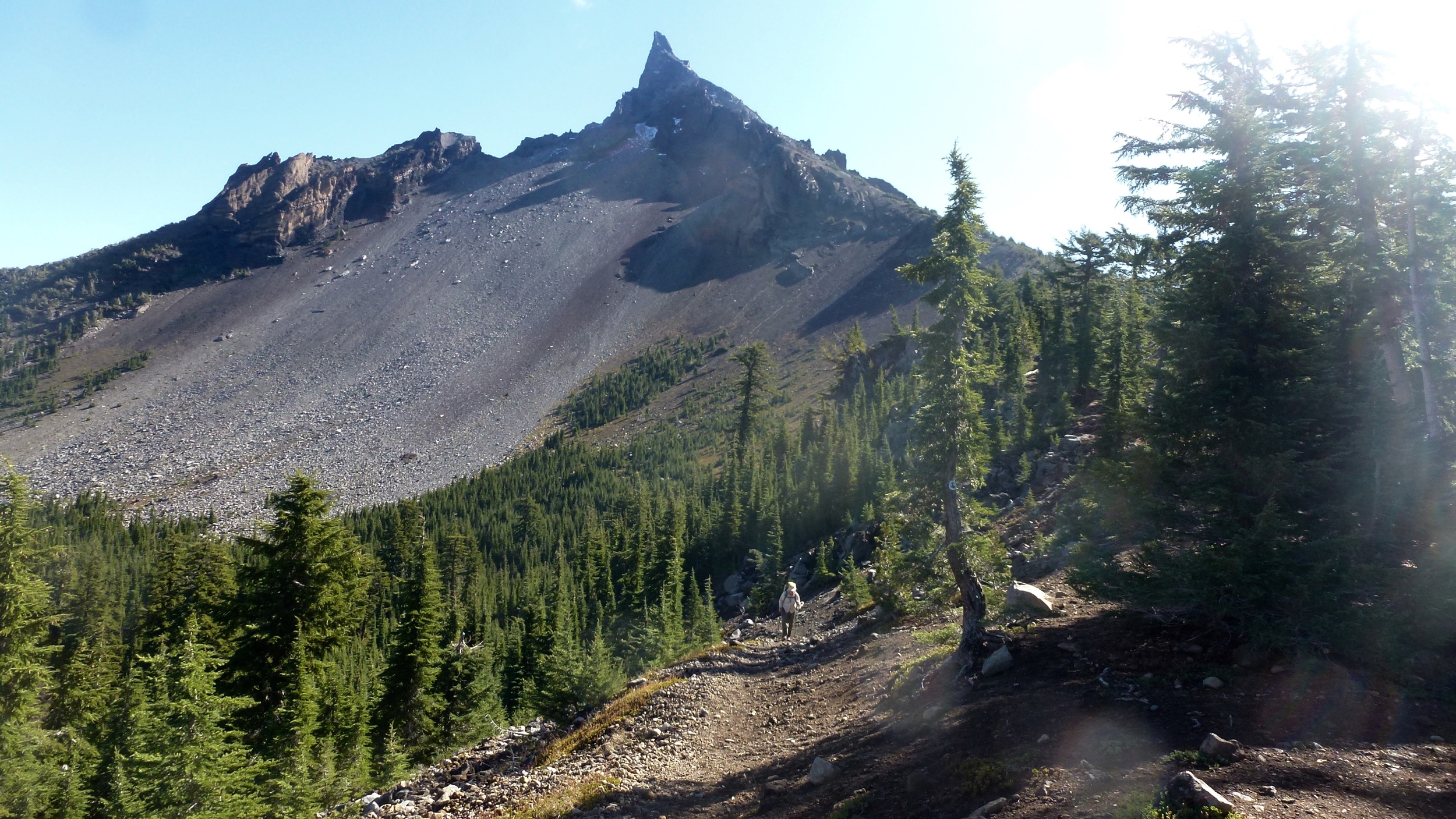
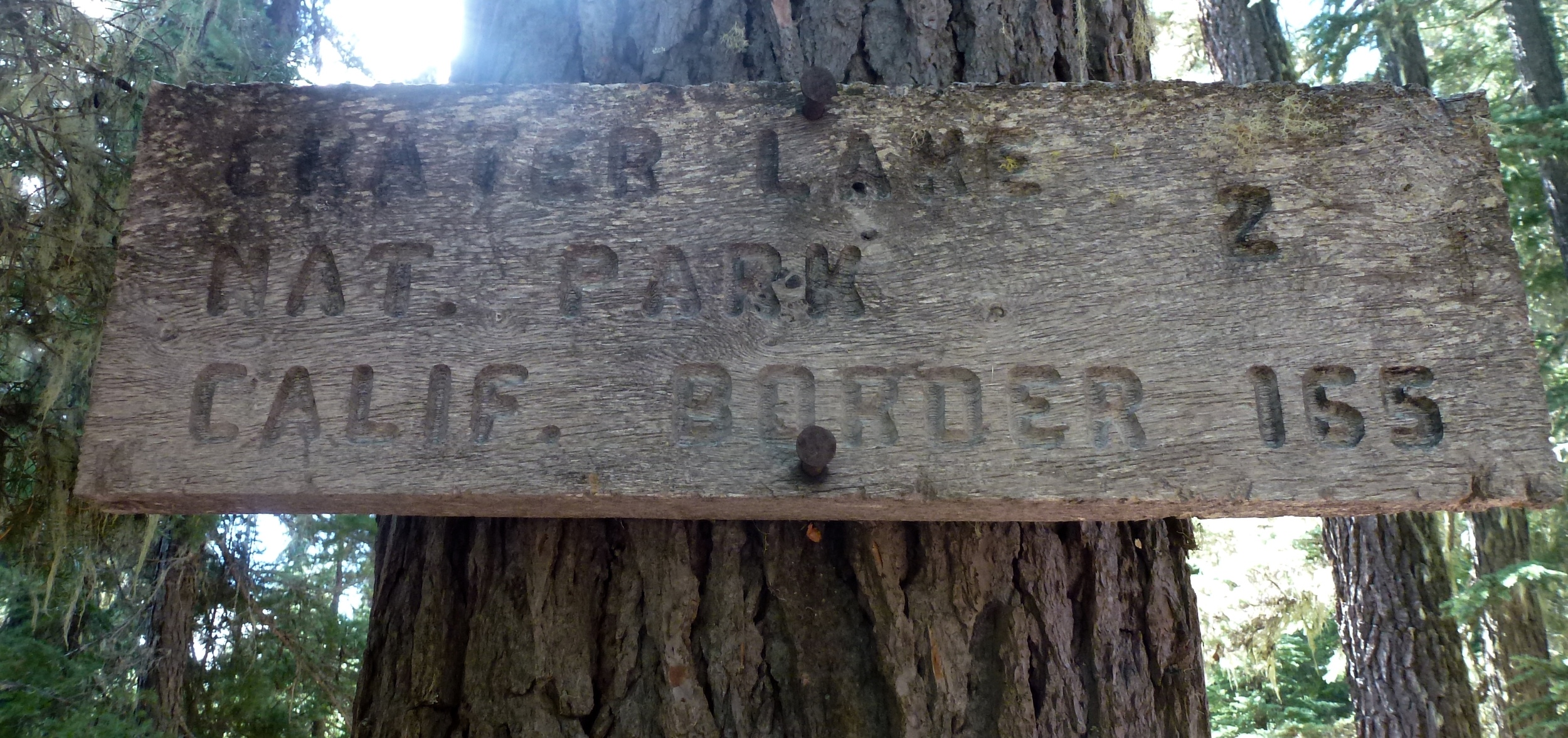
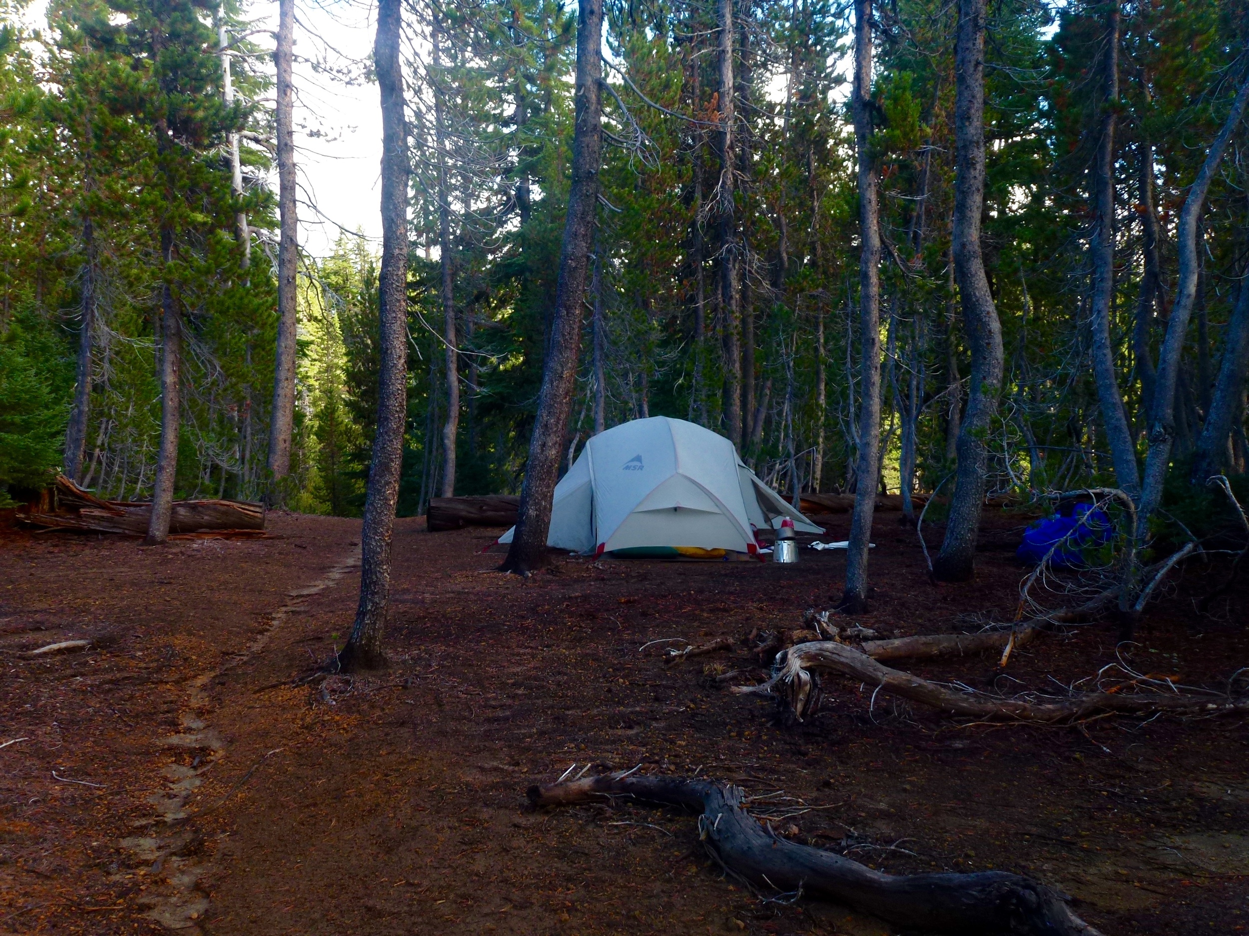
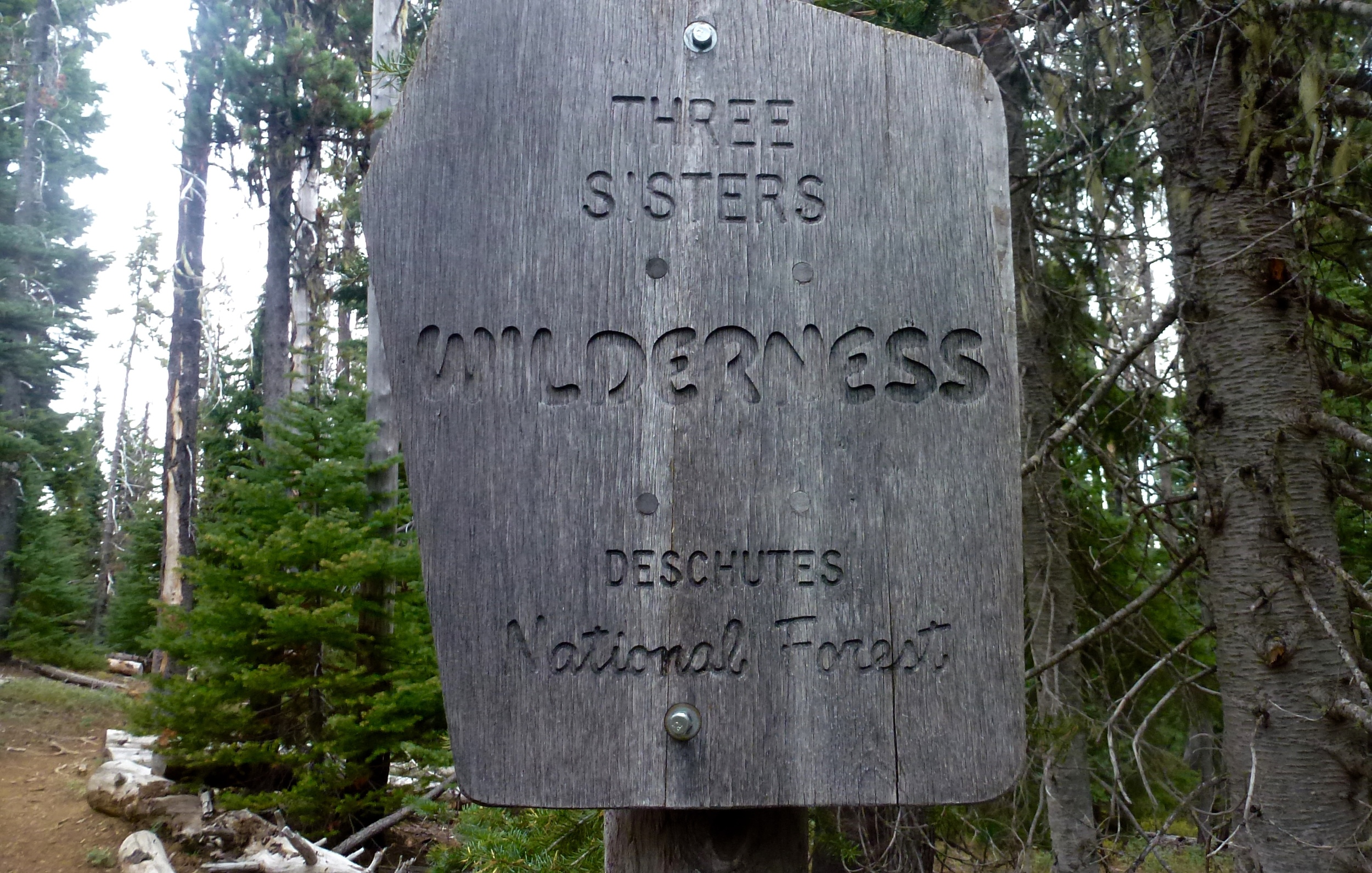
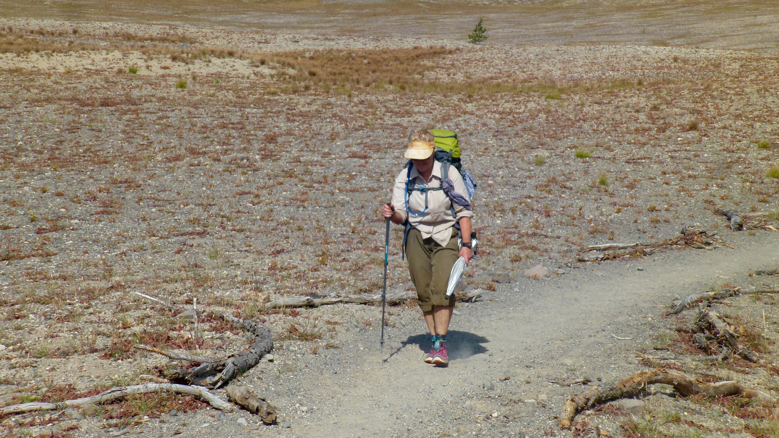
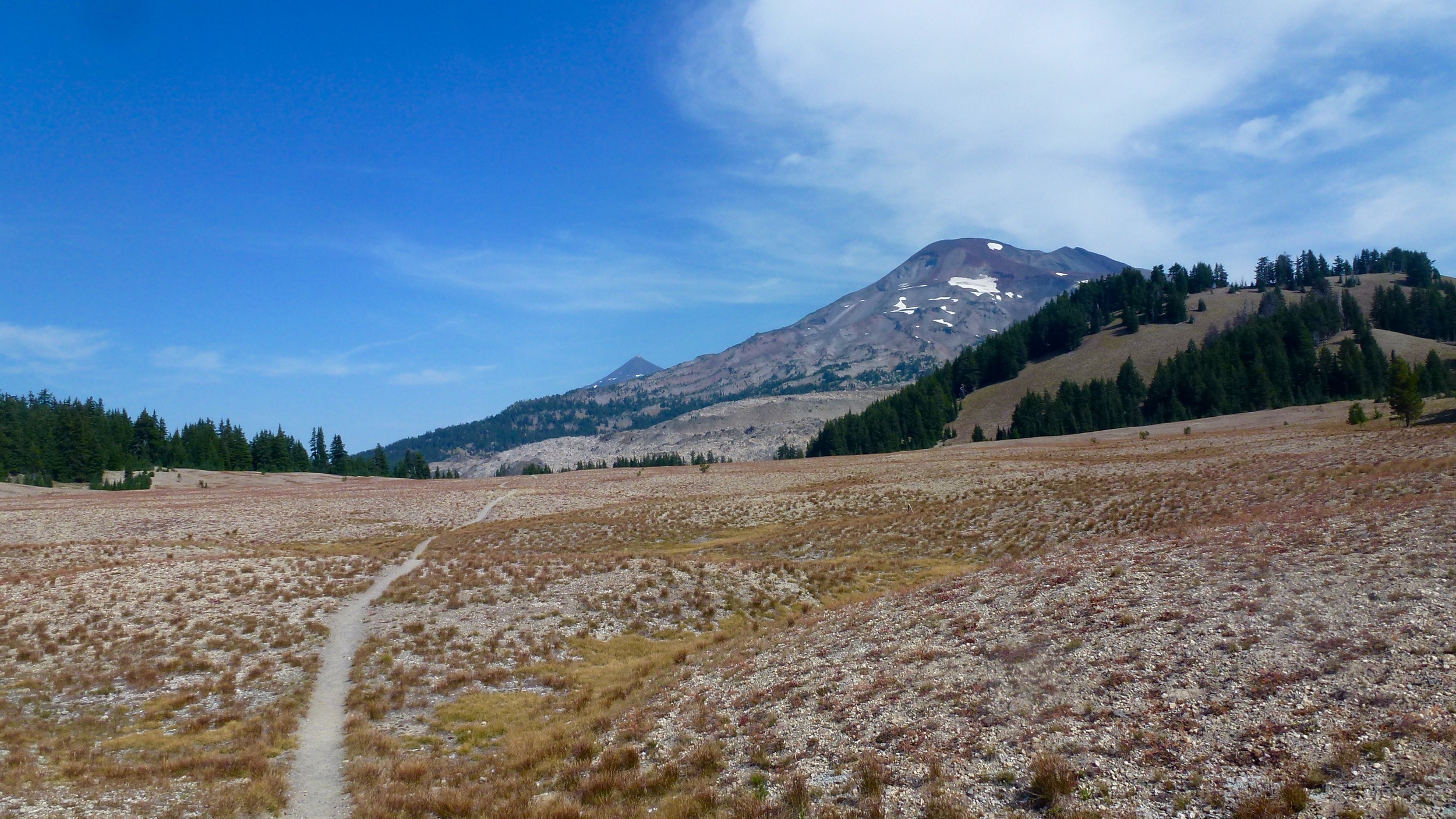
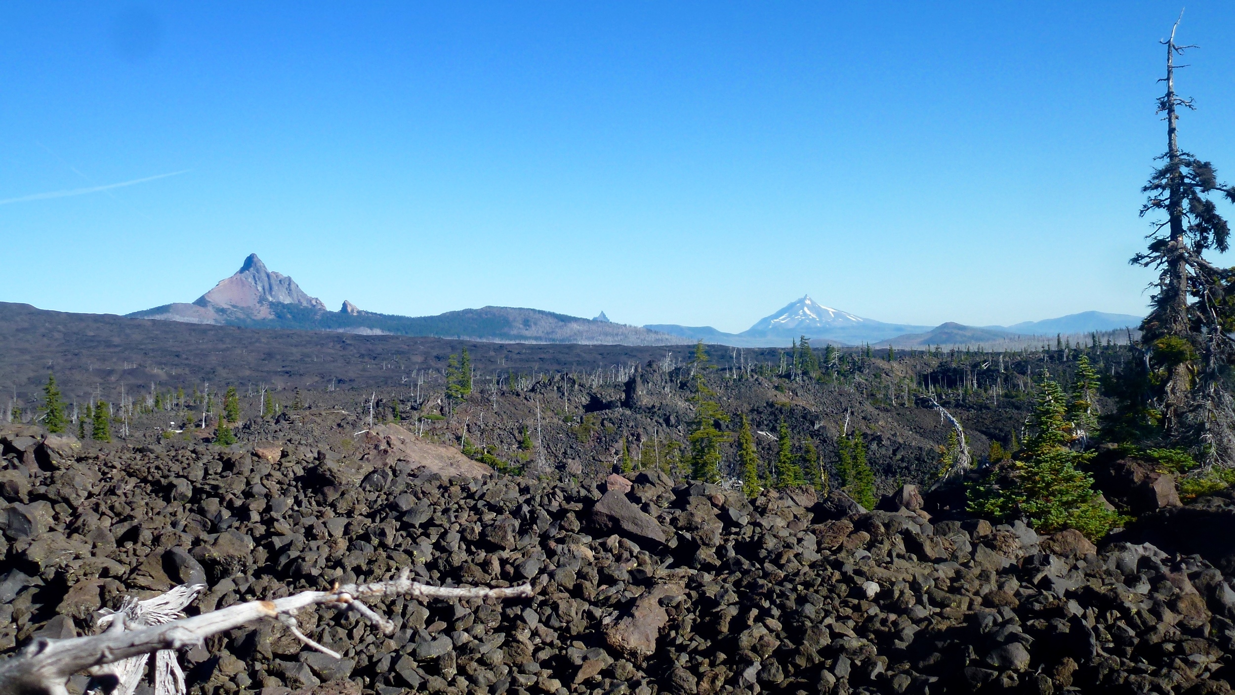
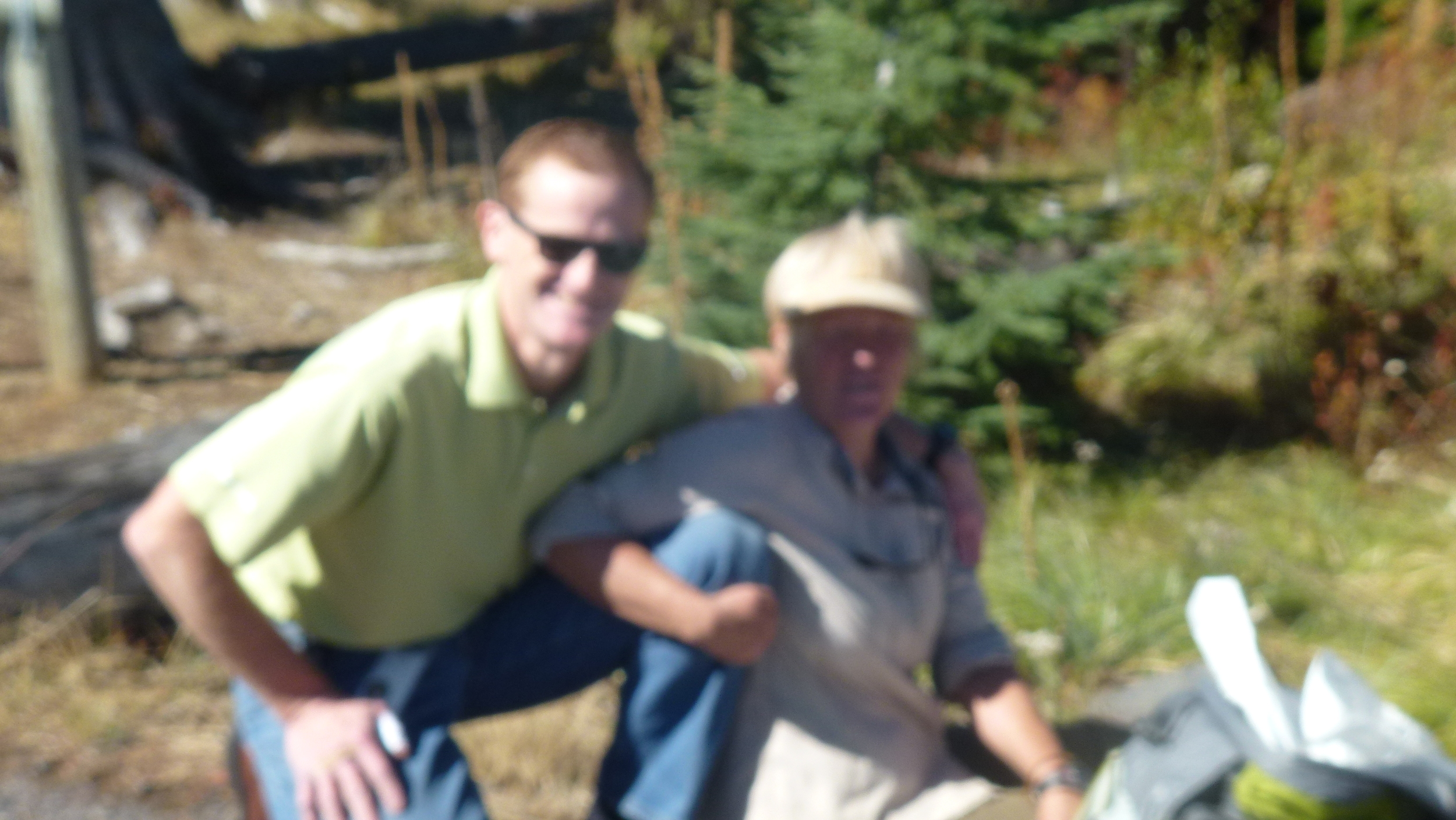
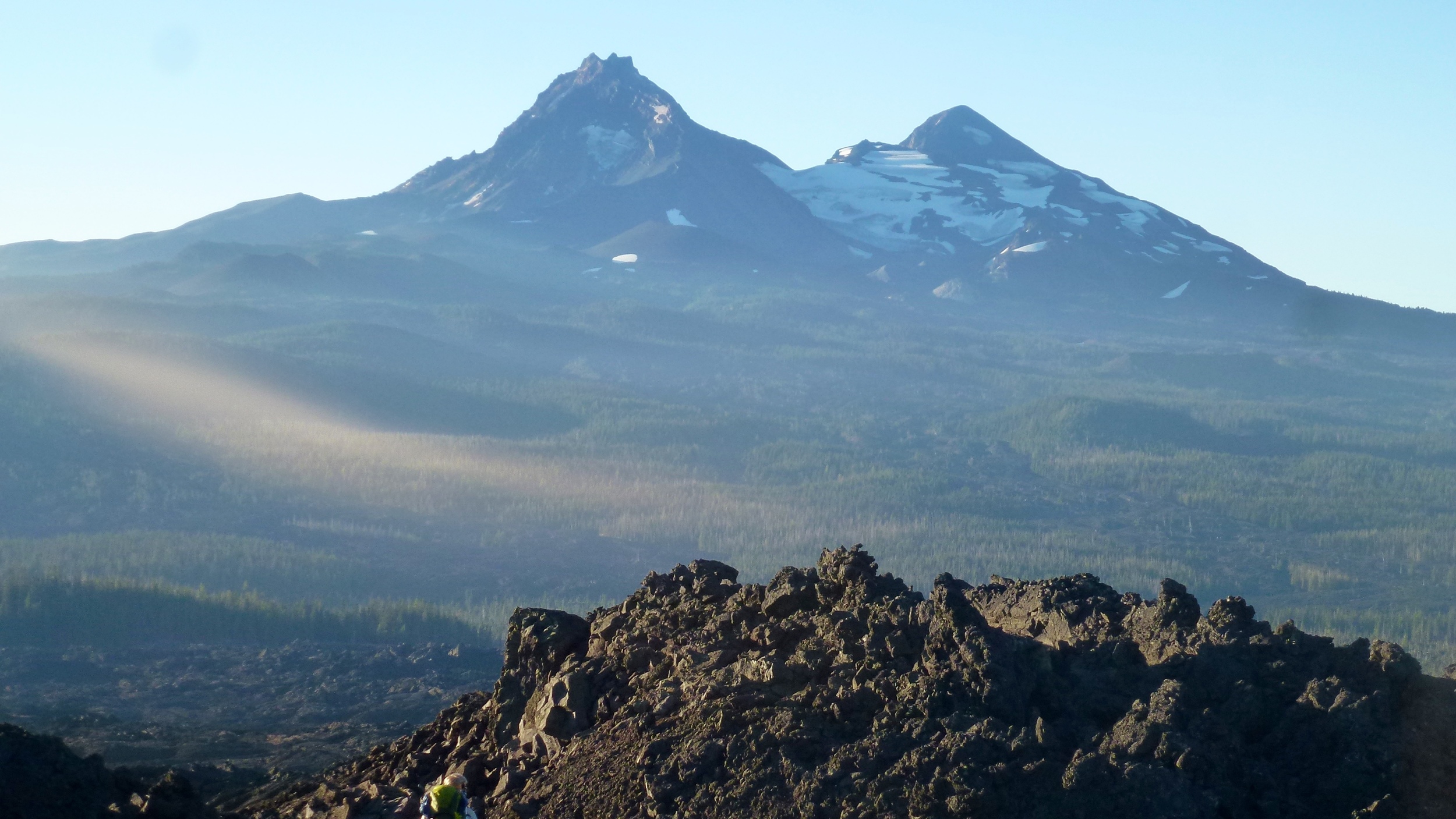
Donna woke up about 4 and with the moon so bright woke Don to see if he would want to hike in the moon light. He agreed and we left camp about 5. It seemed like we were getting light from the stars as well. The trail was mostly easy to follow, but occasionally we did some backtracking to make sure we were on the right trail.  At one point we saw car lights in the distance.  As we got closer we saw a hunting camp set up. The hunters were making breakfast and waiting for it to get lighter. One of the men said that they had been coming here for 20 years and had always given water to the PCT hikers. We took some, wishing later that we had taken more. The trail is a lot of up and down. The cows are out and about, ringing their bells. Soon we are relieved to see a sign pointing to Bear Dog Spring. In the data book of water sources, this spring is said to always be dependable. Not this Year!  The spring had gone underground and the water was no where to be found, except for a few stagnant pools. We took an inventory of our water, and looked at the map. Next water is 5 miles away, not bad and for sure doable. We did not have water stress yet. We are in the land of steep mountains and valleys. Rumor has it that this is the land of Bigfoot. Bigfoot could hide out here and not be found for many a year. Finally the trail crosses a road and the information says that we will find water about 100 yds down the trail. Don hikes down and comes back with gloomy news. He found the pipe, but instead of water flowing, it is barely dripping. A drop every 5 seconds to be exact. If we stayed here for an hour we might get a cup. Our water bladders each have less than a liter. So we are not desperate, but do not feel good about totally quenching our thirst. There is a spring on the map called Bee's Spring but the water data book has no information about this source. We begin hiking a long uphill section in the direct sunlight, not ideal when one is thirsty. I play the game of take water in your mouth, and swishing it around before swallowing.  I even count my steps and take a swallow after every so many. In a little over an hour we see the sign to Bee"s Spring. There is a little flow coming down the hill, we should be able to get some water. Then Don notices a small pool below the trail. Out comes the dipper cup and we are able to drink as much as we want.  We fill our bottles and just like that, our water stress is gone. We check our map and go over some options. One of which is to see where we are at 4 and call Jeff.  At four, we are near Devil’s Peak and are able to use the satellite phone to call Jeff. He is a bit surprised at our request to be picked up, because the original plan was to get picked up in two days. He looks at Map Quest and figures that it is about a 3 hour drive. Glad that it is Friday night and he does not have any plans.  From the guide book it seems that where the trail intersects the highway there is a large parking lot. We tell Jeff that we will be there or wait for us there. Okay we have just gotten roadheaditis. The pace quickens and we start heading down a 4000 foot drop. In the beginning the trail goes mostly down hill with little switch backs.  As the clock turns to 6 we see Seiad Valley and the Klamath River. We are encouraged and think that we will get there before dark. Wrong, as the terrain lessens in steepness the switchbacks become longer, much longer!  The river seems to be staying the same distance away. A beautiful, but poisonous plant hugs the trail on both sides. The red color and shape of poison oak gives us pause as we stay in the middle of the trail. Looks like we will be putting in a 14 hour hiking day. Every time we get a hint of the trail being close to the road, it just keeps going. Finally out of necessity, I get out my head lamp to see the trail and avoid poison oak. Unbelievable but the road appears, but not a parking area. In fact we do not even see a sign marking the PCT trail. We are at a driveway and it is pitch dark. Cars are few and far between. Don has very little light left, so when I see a car I wave my light. No car slows; they just keep moving on. About 8 here comes a smaller car and when I give it the light wave it slows then stops.  It is Jeff! Our prayers were answered! If we had been later or Jeff earlier we probably would not have made an easy connection. It was not until driving back to Klamath Falls that we realize how far Jeff had to come to pick us up. It was over a 3 hour drive back to his house.  Our hike of Oregon was over and our appetite for doing more of the PCT is contagious. Next year Washington!

Mileage hiked 30 miles-Siead Valley - Klamath Falls

October 7, 2014

We are camped on granitic soil tonight. The moon is almost full so even when it is past sunset we are getting some light from the moon. During the night the Coyotes serenade us with their song.  Our big event of the day was reaching the CA/OR border.  Alas, the camera decided to stop working and we must now rely on our memories to mark this milestone.  The border is out in the middle of the wilderness so one either has to hike back to Ashland or continue on to Siead Valley.  We are going to continue on. At the border is a register.  It is fun to read names and comments of hikers we have met.  We have not seen any hikers in the last two days. We continue on into CA and stop at Sheep Camp Springs.  We are not disappointed here as the water is flowing nice and cool out of a pipe,  We leave here with full water capacity. Once we drop into CA we are joined by the cows.  A lot of cows, in fact, with some wearing bells. They have made a mess of some of the water so we are glad that we filled up with water at the spring. We had planned on camping at one of the creeks, but arriving there we changed our minds as the cows had made their presence well known.  We finally made it to Bear Creek, the water was coming from a descent flowing stream and there were not as many cow signs. We boiled the water well and ate our dinner. Our hike will soon be coming to a close. We have enjoyed being in the moment, just thinking about the basics of food, water and shelter. We have enjoyed being in God’s creation. We have enjoyed meeting the other hikers and hearing their stories. We are not ready to end, more hiking in the future is in the plan.

Mileage hiked-19miles- Bear Ground Spring

October 6, 2014

We were up predawn and ate cold cereal and an apple. There are lots of lights on the horizon. As we round the bend to the other side of the ridge, the lights of Ashland appear. Not sure where our next water is going to be so we are being water conservative. This part of the trail includes a lot of downhill, newly made trail and a lot of private property signs. We are glad that the PCT organization works well with landowners to permit hikers to cross their land. We have seen Interstate 5 from the distance and soon we are walking under it on our way to Callahans. Callahans is a popular stop for the thru hikers. For a reasonable fee one can camp on the grass in front of the hotel and take advantage of the facilities. Not planning to do that, though, we stop for a chocolate milkshake. It was only 9:30 in the morning and our request was a bit of a challenge for the staff, but eventually it was delivered to our table and enjoyed to the last drop.  We filled our water containers and started the steep climb to Mt. Ashland. The sun was beating down on us and the predicted temperature was to be in the 90’s. The Ashland Inn is no more, but the new owners have left a water faucet and picnic table near the trail. A sign welcomes hikers to take advantage of the water. Thanks! The trail goes thru the Mt. Ashland ski area, which did not even open last year due to no snow. We arrive at Grouse Gap Shelter around 4 and look for the water source. Once again it has gone dry. Fortunately, there is a man in a camper here and he offers us a gallon of water. Don is nursing a blister.

MIleage hiked 19 miles Grouse Gap Shelter 

October 5, 2014

We were up before dawn, but wanted to wait until first light before beginning to start hiking.  We also have decided to hike the road to highway 66. It is the first day of hunting season and a lot of hunters are camping at the campground. The excitement of the hunt abounds. The road hike shortens the travel by 3 miles and we arrive to our destination early.  Jeff had planned to meet us for lunch, but we’re able to make a call to him and change it to a late breakfast. The Green Mountain Inn is a popular eating location. We miss the breakfast rush and by the time Jeff arrives we are seated quickly. It does not take us long to reorganize our food bags and send Jeff back on his way to finish his last year of college.  The aspens are in full yellow color as we start down our last section of the Oregon PCT. We pass several hunting camps before arriving at a 5 star scenic campsite. No water, but the view makes carrying the water here all worthwhile. The moon was almost full and Mt. Shasta filled the horizon to the South.  As night progressed the valley was filled with the twinkling lights of civilization. 

Mileage hiked 10 miles- Near Pilot Rock

October 4, 2014

Another warm night! Since Wendy left the nights have gotten warmer. We are at a lower elevation and the species of trees are changing. Lots of oak trees and cedar trees are growing next to the trail. It is only 7 miles to our camp for the night at Hyatt reservoir. The hosts of the camp greet us and tell us since we are PCT hikers there is no charge.There is plenty of hot water in the showers which we make full use of. Camped next to us is Theresa. She has been here for a couple of days and has decided to buy a bike in Ashland and turn in the hiking shoes. We spend several hours talking to her as she tells us of her background and why she wanted to hike the trail. She takes our email, and says that she will let us know if her bike trip is successful.  The reservoir is quite low and some of the resorts around the lake are closed.  We stop at a store to see if they might have some ice cream, but the freezer was empty. Tomorrow Jeff brings in our last food resupply.

Mileage hiked 7 miles -Hyatt Reservoir

October 3, 2014

Made an early morning call to Ryan waking him up but got to wish him Happy birthday. Ate our breakfast and then continued hiking the red volcanic trail. Saw a sign that had a note attached to it for us. It was from Ferdinand and Dagit checking in to see how we were doing. They have decided to end their hike in Ashland. After 5 months on the trail they are ready to be done. They advised us not to stay in the cabin due to the mice inhabitants. We had not planned on stopping there so just checked it out and read the ledger. Seems like it was a popular stop for thru hikers. We crossed the Indian Memorial highway and noticed some 5 gallon containers of water. A note from Ranger Rick said that hikers going north should use this water as there is none at the cabin. Since there was a marked spring not to far we thought we would pass this water up. However, underneath the jugs was another note advising south bounders to take some water here as well. The upcoming spring was dry. Usually one can have some confidence that a marked spring would have water. Not so true this summer with Oregon experiencing drought. Gentle ups and downs and the trail seemed to go on for ever, We kept looking for the marked campsite, but then saw the name of another one. We had missed the one we were originally looking for.  Even though the campsite was closed, the water at a faucet was still on. Yeah! We hiked to a nearby meadow and settled in for the night.

Mileage hiked 20 miles- near Klum landing campground

October 2, 2014

Another cold morning greets us we get out of our sleeping bags. The seasons are changing! The days have been warm and it is a good hiking temperature. Nights, however have been dropping below freezing.  Wendy has not slept well due to the cold and she would like to see if Jeff can pick her up where the trail crosses the highway. We are able to connect with Jeff and he is available to pick her up. Within 15 minutes of arriving at the highway, Jeff is there in his little red car.  He brings us water, which is great because the last marked water is absent. He also brings his Mom a giant Kit Kat bar. Life is good! We say goodbye to Wendy.  Soon she will be showered and getting a train ticket for the ride back to Portland. We, on the other hand, cross the highway, take a food break and prepare to head up to Brown Mountain. We are awed by the next section of trail. It goes through a major lava field.The trail is well maintained and is covered with red volcanic rock. A lot of effort went into this trail construction. We take advantage of using our umbrellas as shade. There is no natural shade, the sun is hot and the black rocks reflect heat back at us. Camping spots are minimum and when we find one right next to the trail we take it. Right as we are finishing dinner, here walks Theresa. She is looking stronger every time we see her. She is going to continue hiking tonight so we may not see her again.  Tonight it is warm, quite a contrast from the previous week.

October 1, 2014

Lots of frost as we rose early this morning.  Wendy was quite cold and started hiking right away to warm up, lighting the trail with her headlamp . The ground is frozen solid. No water stress for a while as the streams are numerous.  The hike today takes us through an area that recently had been closed because of fire. There are still signs on the trees warning of the closure. We were relieved to see the most recent sign; Trail Open, proceed with caution and beware of falling trees. The smell of smoke is still strong. An alternative trail gives us the opportunity to avoid a section of burned forest.  We descend into the Sky lakes Wilderness Area. It is a popular area in the summer, but not so now.  It also is known for an abundance of mosquitoes which the cold weather has eliminated for us. It is a beautiful trail that meanders around beautiful blue lakes. We are hiking close together today as there are many side options. We are glad to be camped near Red Lake tonight. The sun is warm during the day. but once it sets the temperature drops fast..

Mileage hiked 18 miles- Red Lake 

Sept. 30, 2014

A cold night with frost on the fly when we get up.  Last night we heard geese flying overhead. They were obviously flying above us in circles and honking. In the morning a lone goose was in the campground.  We wondered if they were trying to make contact with it.  We tried taking a shortcut to the trailhead , but it was in vain as we eventually had to turn around and go back a longer way. Our packs were heavy today with a full ration of food and water because once again a long stretch had no water available. The first water we came to called Honeymoon creek was nasty, only to drink in desperation.Within a mile though we were happy to find 3 creeks with good looking water. We are at a higher elevation and it is cold. Shortly after eating we were in our sleeping bags doing some exercises to warm up.

Mileage hiked 20 miles-mile past Honeymoon creek

Sept. 29, 2014

We have a leisurely breakfast as it is a short hike today. Jeff is bringing our food boxes and he will not get there until later in the day. We all reflect on the sunset from last night that left the trees turning a fiery red. We make our way to Mazama Campground and set up our tents.  Theresa is here and we are glad to see she has made it. She has been given the trail name of "Bear Bait". The last section of trail has not been as dusty as the previous ones so the urgency to shower is not as great. We do, however, and it feels good, so do our clean clothes that got washed. Donna’s and Wendy’s shoes are developing serious holes. Our tent pole snapped today, the repair sleeve works and it is functional. Jeff is bringing some shoe goo so are hoping that will help with the shoes. Don is getting a blister so a short hiking day is good.  We see Jeff walking down the road to our tent, he arrived earlier than expected. He brings all the requested items, plus a treat from our Alaskan friend Ellie. She has sent some crunch carrots from her garden. They taste marvelous!.  Before Jeff takes off, we eat at the nearby lodge. It is a treat to sit down inside, especially since it is pouring rain outside.

Mileage hiked 4 miles- Mazama Campground

Sept. 28, 2014

The wind ended up blowing all night, so we felt fortunate that no trees fell on us. We all are glad to leave this part of the forest behind. Quite a flat trail leading us to Crater Lake. Ferdinand and Dangit join us for part of the hike. We also met another older gentleman who was hiking the PCT by driving his car to the various sections and then doing short hikes on the trail. We are taking advantage of the Rim Walk to get to Crater Village. It is a spectacular walk hugging the rim around the lake.  The clouds also add to the beauty as they are being whipped up and over the edge. The lake’s color is surreal. Glad that this is a protected area and there are no structures at the rim. We make it to the gift shop and are a bit overwhelmed at all the people that are there, knowing that their drive-by experience is so different that ours. We have a good conversation with Dangit and Ferdinand about light weight backpacking. We look to find where we get backcountry permits for camping, but come up empty handed. We head to Dutton creek campground and are treated to a beautiful sunset. Once again we are surprised that there is not an outhouse at a popular site close to the road.

Mileage Hiked 18 miles- Dutton Creek Campground

Sept. 27, 2014

Brrr.. the morning is cold. The decision is made to pack up and move before eating breakfast. We eat a bar for the morning energy. The ground is frozen hard and the wind blowing. As we hike along the trail the many bushes get us wet. A sign post alerts us to the high point. Take the photo and look forward to the descent to warmer temperatures.We all took off at our own pace planning to rendezvous at Mt. Thielson Creek. Donna arrived at the trail junction first and waited for Don. When Don arrived we placed an arrow made out of sticks to show Wendy the way we had gone as the creek was quite near, but another trail took off to the right. Don and Wendy had been hiking together shortly before so he figured that she should be along shortly. As time moved forward and Wendy did not appear, we developed some scenarios of where she might be. Don headed back to the trail junction and walked about 20 minutes down the other trail. No sign of Wendy.  He returned and then I retraced the trail that we had been on. No sign of Wendy there either. Fortunately when I got back to the stream, there was Wendy. Wendy had not seen the arrow and as we all have experienced, was walking in the zone. Zone walking is so easy when you are walking on trails. We pass by Mt. Thielson which is known for being hit by lightning. No storms today so we did not get to see that act of nature. Our next challenge is to find the water that Don hid several weeks earlier. We were on a 24 mile stretch of no water so when Don had dropped some food boxes he also left some water near a trail head. Wendy is the winner and finds the water. We are now in Crater Lake National Park. We are surrounded by thin and diseased trees. We would not want to camp here in the wind.  We finally find a spot that will work and after a delicious meal of pasta verde, apple sauce and chocolate we head to bed.

Mileage hiked 17- Northern border of Crater Lake National Park

Sept. 26, 2014

Another day of looking for water. The trail is a bit more difficult today with more elevation gain. The three of us have developed our own style of hiking. Donna likes to munch on her food while hiking. Don and Wendy prefer a sit down snack/ lunch break. Donna tends to go thru her food more quickly. Glad that her hiking companions are into sharing. It is a dry camp tonight so we are loaded up with water. Campsites are a bit scarce and Don is ready to stop. We find a spot that will do and have a quick dinner, Don immediately heads to bed while Donna goes exploring.  She is rewarded with the sun setting over the mountains in the distance. Tomorrow we will be at the highest point of the trail in Oregon. Our down pants feel good tonight as it is getting colder.

Mileage hiked 16- Near hight point of PCT in Oregon 

Sept. 25, 2014

We were on the trail by 7, taking good advantage of the flush toilets before leaving. Some showers this morning, but seems like the storm that moved thru last night is gone.  We are taking a recommended alternative trail that has more water options. We make our way up to Windy Pass and then walk thru a very well developed horse camp. There is a faucet here to obtain water. Lots of trails in all directions and not well marked. We conference often to determine which way we should go. Three women are camped here with their horses and big camping rigs. When asked about the trail they point us the right way. The sign to Nip and Tuck Lakes appear. We head down the side trail and find some great spots for camping. The lakes are low making it a bit challenging to fill our water containers. The skies are clearing and the temperature is dropping.

Mileage hiked 16 miles-Nip and Tuck Lakes

Sept. 24, 2014

As usual, we are up early and looking forward to getting to Shelter Cove Resort on Odell Lake. The rain started falling and was coming down hard enough to get us wet by the time we reached the road taking us into the resort.  Our food boxes were waiting for us.  Don had dropped them off in early Sept, before we began our hike. We are able to take showers and do laundry.  There is a special site for PCT hikers a bit removed from the main camp. A large tree has left a somewhat dry spot that we can set up our tent under. It is a great choice as by morning we are surrounded by puddles.  We meet Ferdinand and Dangit. They are hiking the entire PCT this summer, however, due to fires they flipped in northern CA and are now heading south. We also meet the owner of the distinct footprints. Her name is Theresea and like every one we have met she has a story to tell. She started at the WA /OR border. Before reaching Santiam Pass she was hiking at night and heard a loud noise.  She assumed it was a bear and took off running, dropping her pack in the woods. She ran into a tree and thinks that she knocked herself out. When she returned to look for her pack she could not find it. She hitched to Bend, OR and reoutfitted. She seems to be a bit ill prepared in both gear and food. Wendy convinces her to buy some rain gear at the camp store. A lot of fisherman are catching Kokanee (land locked salmon) in the lake. We hang out on the covered deck of the resort to do some trail planning before heading back to camp. It has been a nice change of pace today.

Mileage Hiked 6 miles - Shelter Cove

Sept. 23, 2014

After yesterday’s hike we were all feeling a bit tired. Lots of uphill hiking today. Our pace was noticeable slower and were hiking at our own pace today. When we come to a junction we usually wait for the others.  Today’s trail was part of a nordic trail system.  A large winter cabin was near the trail. Had there been a water source nearby, we would have called it home. Instead we checked it out and planned to meet at the next lake. I got there first and then Wendy. We had thought that Don was in the middle, but somehow Wendy has passed him and Don had not realized it and was waiting for her near the cabin.  Eventually we see him walking down the trail and are happy to be a threesome again. We are camped near a climbing area tonight. Our site has a rock table and benches. There are interesting footprints on the trail, almost as big as Don’s with a distinctive pattern.

Mileage Hiked 16 miles-Rosary Lake

Sept. 22, 2014

The air felt fresh this morning after it rained during the night. We waited till good light before leaving so we could check the campsite well. A nice mellow hike today around numerous lakes and forest paths. We ended up at an abandoned campsite. At least it seemed to be.  All the signs were down, no out houses and just some old picnic tables. There was a dirt road leading to it and two guys in a truck were camped there as well.They had a major bonfire going. Soaking our feet in the lake always feels good.

Mileage hiked  23 miles- Irish Taylor Campsite

Sept. 21, 2014

After a hot breakfast we were on the trail by first light. Today’s hike was mostly thru green and quite refreshing forests. It was such a contrast to all the burned forests we have hiked thru. Lots of ups and downs today.  One long and very hot section was walking thru the Wiki Plains. In years long ago, native Americans would come here and set up their Tipis. We all made good use of our umbrellas hiking this section. At a trail junction I met 3 horseback riders, we chatted and then they headed down the trail, I was waiting for Don and Wendy at the trail junction. About 5 minutes later the horse folks returned and said they had some oranges for all of us. It was a great treat. Again, we are on the lookout for water. We had no idea that Oregon was such a dry state. One book that we are carrying has no mention of a stream that we find. Great, let’ s camp here. It is a good thing that we do, because as soon as dinner is over and we are in our tents, the thunder starts. Soon a hard rain follows. We begin a ditch digging maneuver to keep our bags dry. It mostly works and the rain is short-lived.

Mileage hiked 18 miles- near elk creek cut off

Sept. 20,2014

Good night for stargazing, but when we woke up, our down bags were quite damp. Our only option was to stuff them wet and hope that we will get some sun later today. Don is now officially called Big Foot. He has been wearing his size 14 Hokas and they leave an impressive footprint. So now we are Peter Pan, Bigfoot and Two Bandanas. The trail weaves its way thru boulder strewn lava. There was a lot of effort put into this section of trail. Our pace slows as we are careful how we step. At a high point to the North, we can see Mt. Hood, Mt. Jefferson, Three Finger Jack and Mt. Washington, to the south it is the Three Sisters. We have been enjoying seeing how far we have hiked and gotten an idea of the terrain to come. At the end of the lava fields trail is Lava Camp campground. The sun is out and we need to dry some gear and do some laundry, The lake provides us with this option. Back to the trail after lunch which I am sure made the local critter residents sad. One of us had to stay on protect the food bag mode while here. Our next landmark is Obsidian Falls. We know we are getting close as we start to see large chunks of black shiny rocks.  We also are on the lookout for a spring touted as one of the best on the trail. There it is! Seeping up from the ground is a pool of clear cold delicious tasting water. A park ranger is stationed nearby to make sure no one camps by the spring or the falls. He checks our permits and advises us that he feels that the water at the spring does not need to be treated. We admire the falls and then go a mile farther to find a camp in a meadow, 

Mileage hiked 16 miles-1 mile past Obsidian Falls

Sept. 19, 2014

Our morning was casual as we read, eat and drink water. There is an eleven mile dry stretch coming up after we get our food so we are doing the camel technique.  Bruce arrives and we do the organization of the food.  Wendy readjusts her amounts and sends some back with Bruce. We on the other hand, keep all of ours. It was good meeting Bruce and we thank him for delivering food and water. Mt. Washington is in the view today. We approach it and then hike around it. We meet two ladies that are just hiking this section to Santaim Pass. They advise us that soon we will be in the lava rock section and it is best hiked in good light. More burned out forests await us and then we see the lava rocks. There are as described, a jumble of rocks with unstable footing. We find a spot where we can put down our sleeping bags only. There is no room for tents.

Mileage hiked-12 miles before lava rocks