OR PCT 2014

Sept. 18, 2014

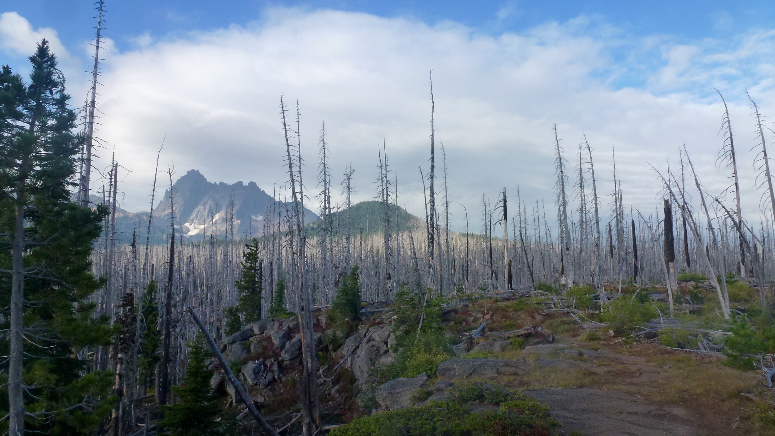
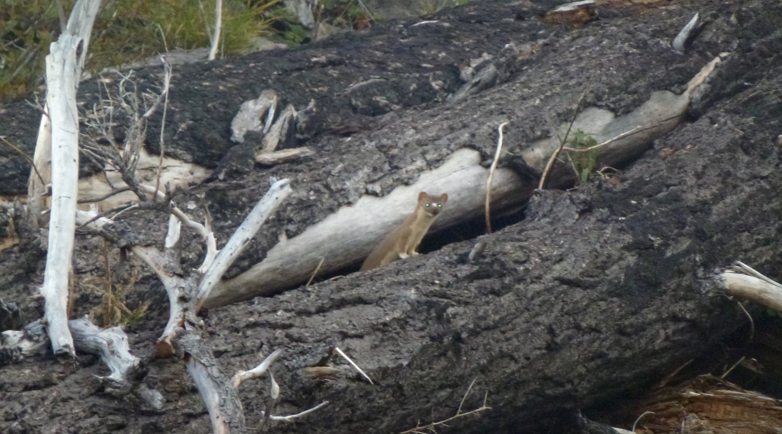
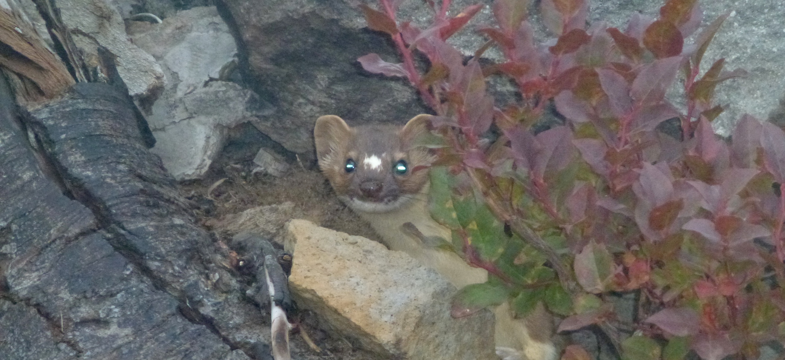
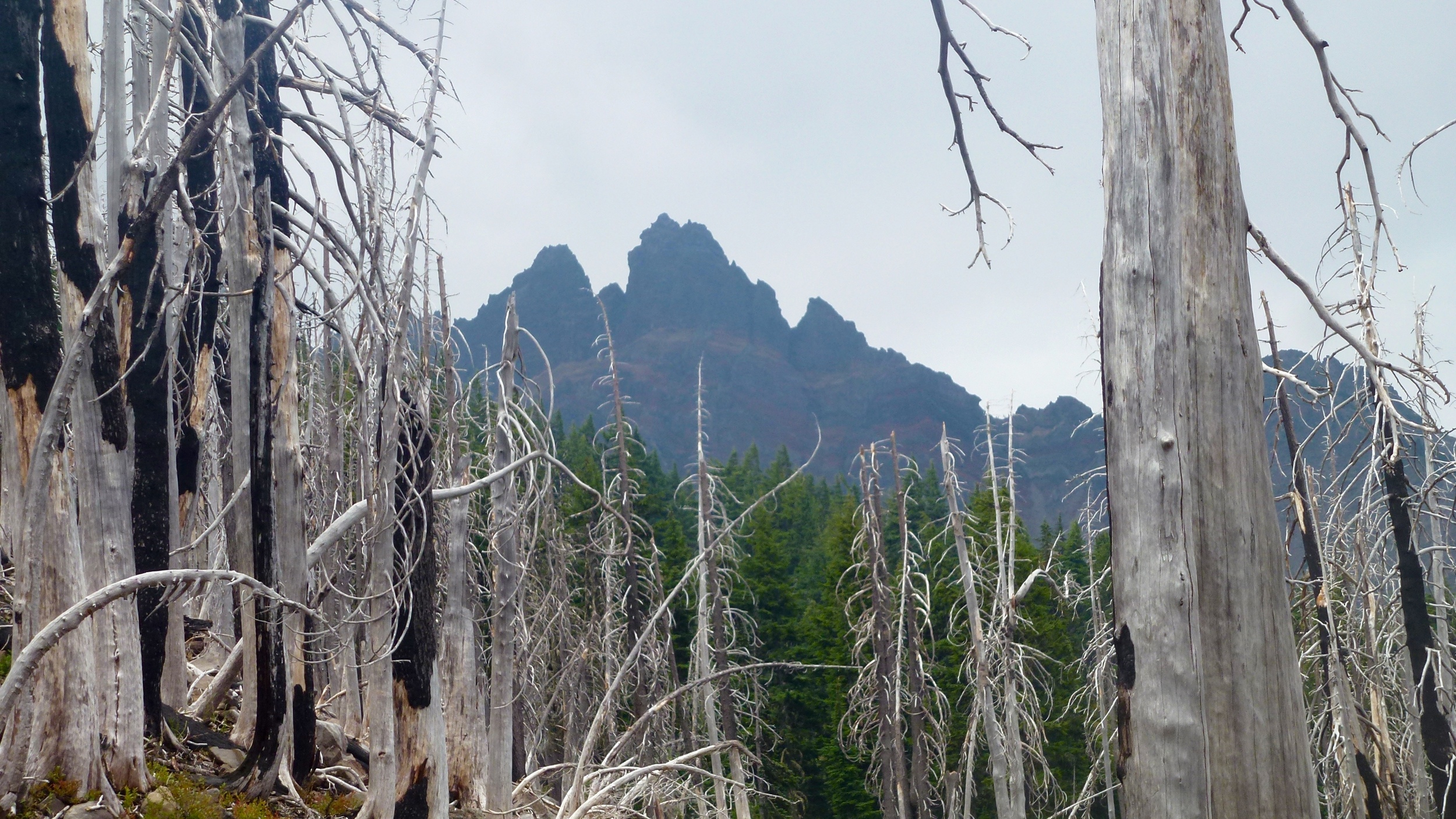
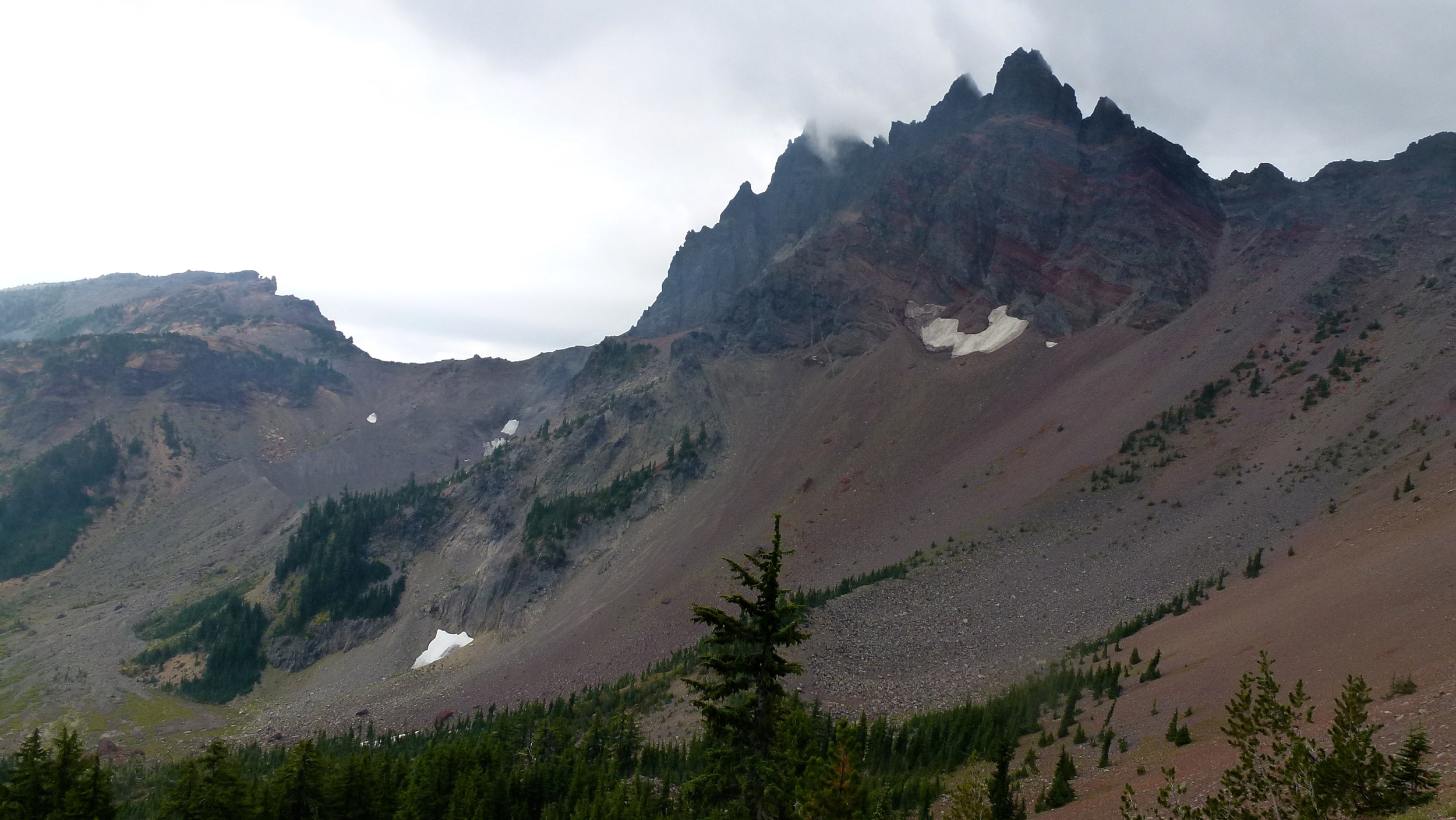
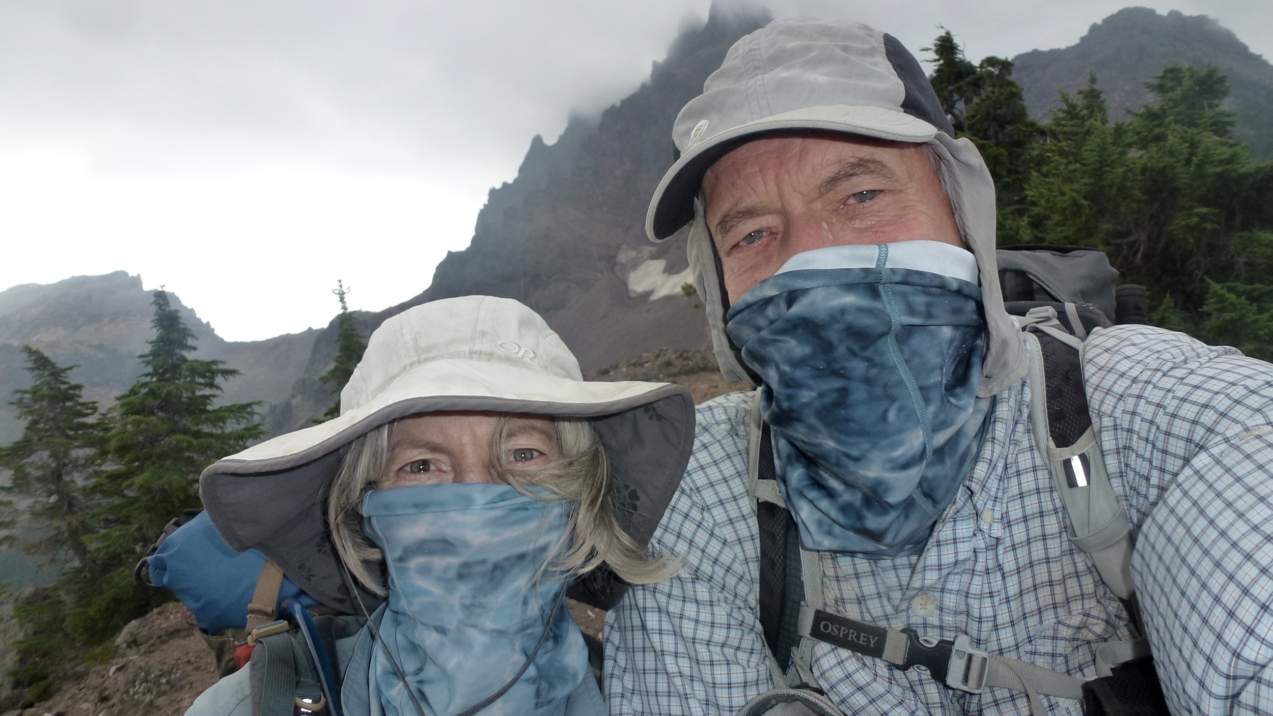
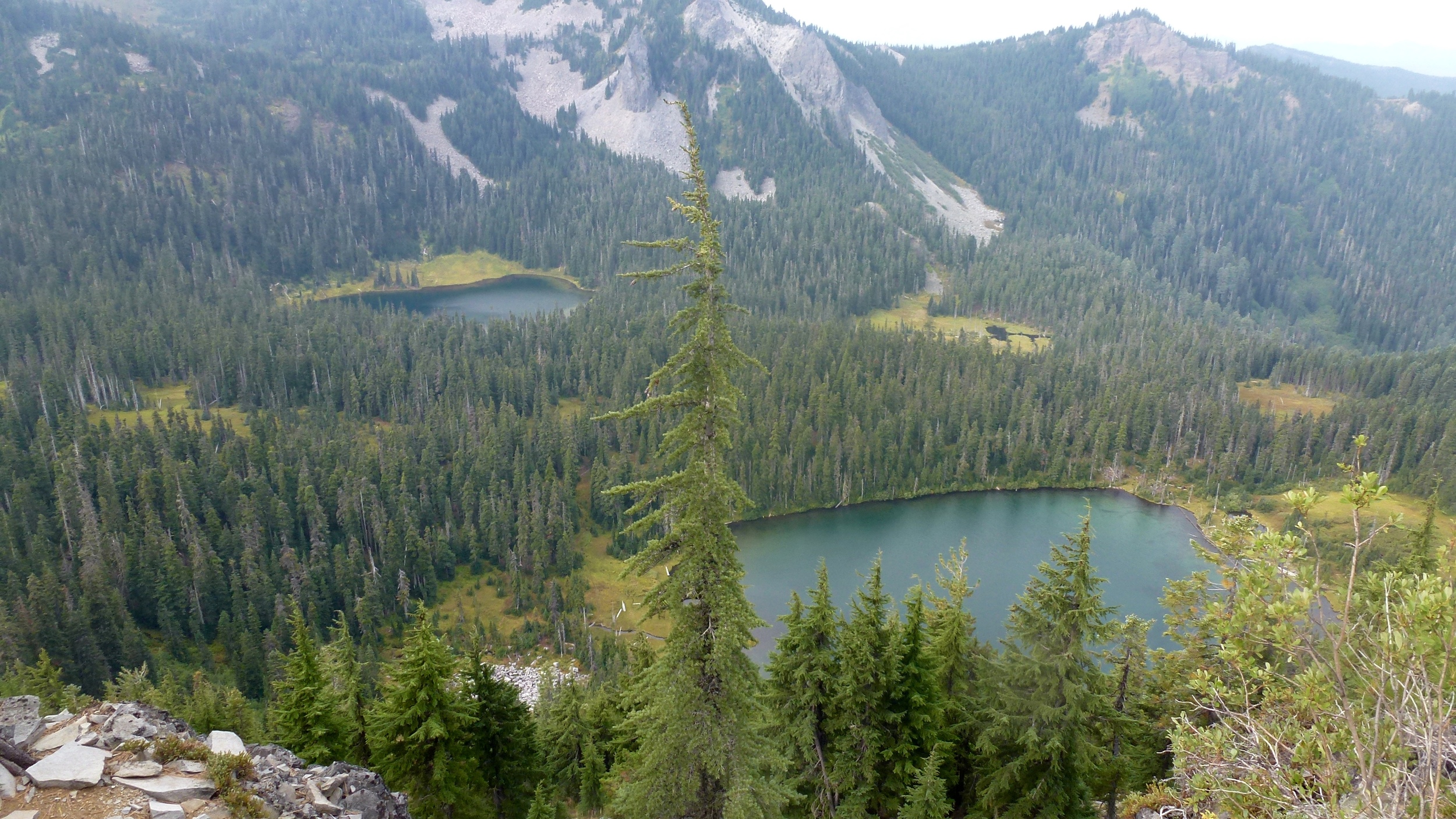
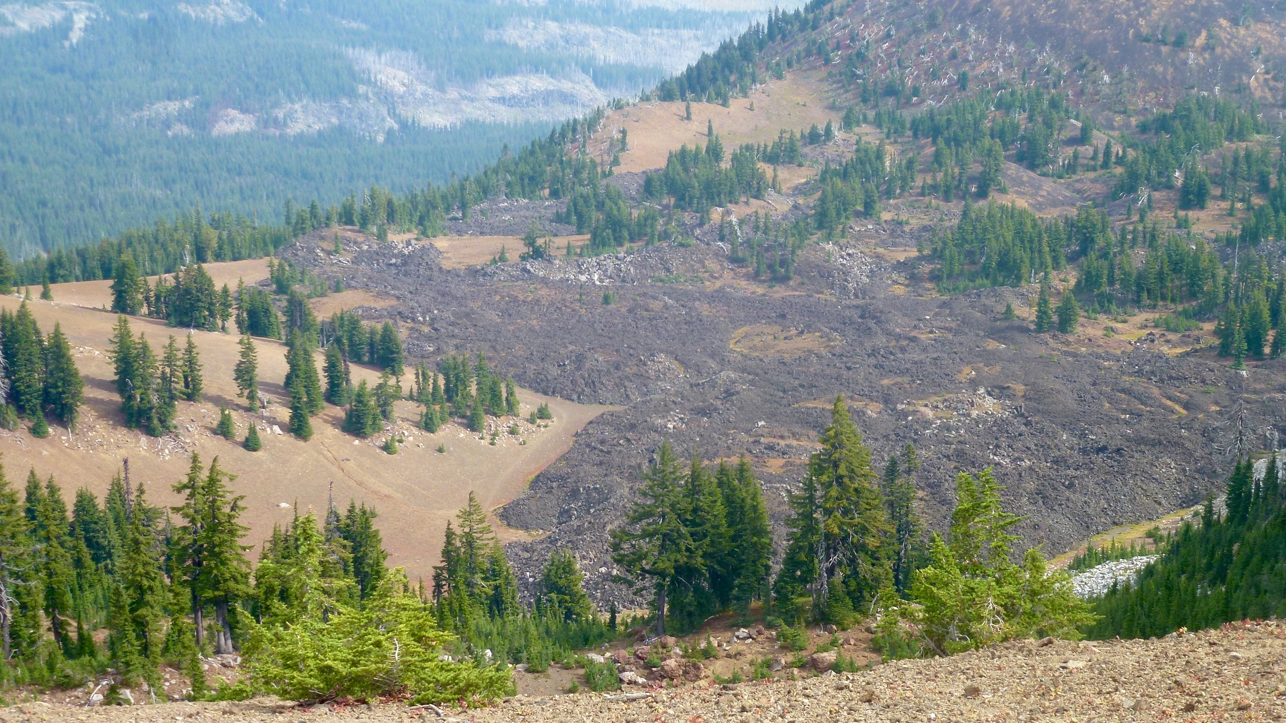
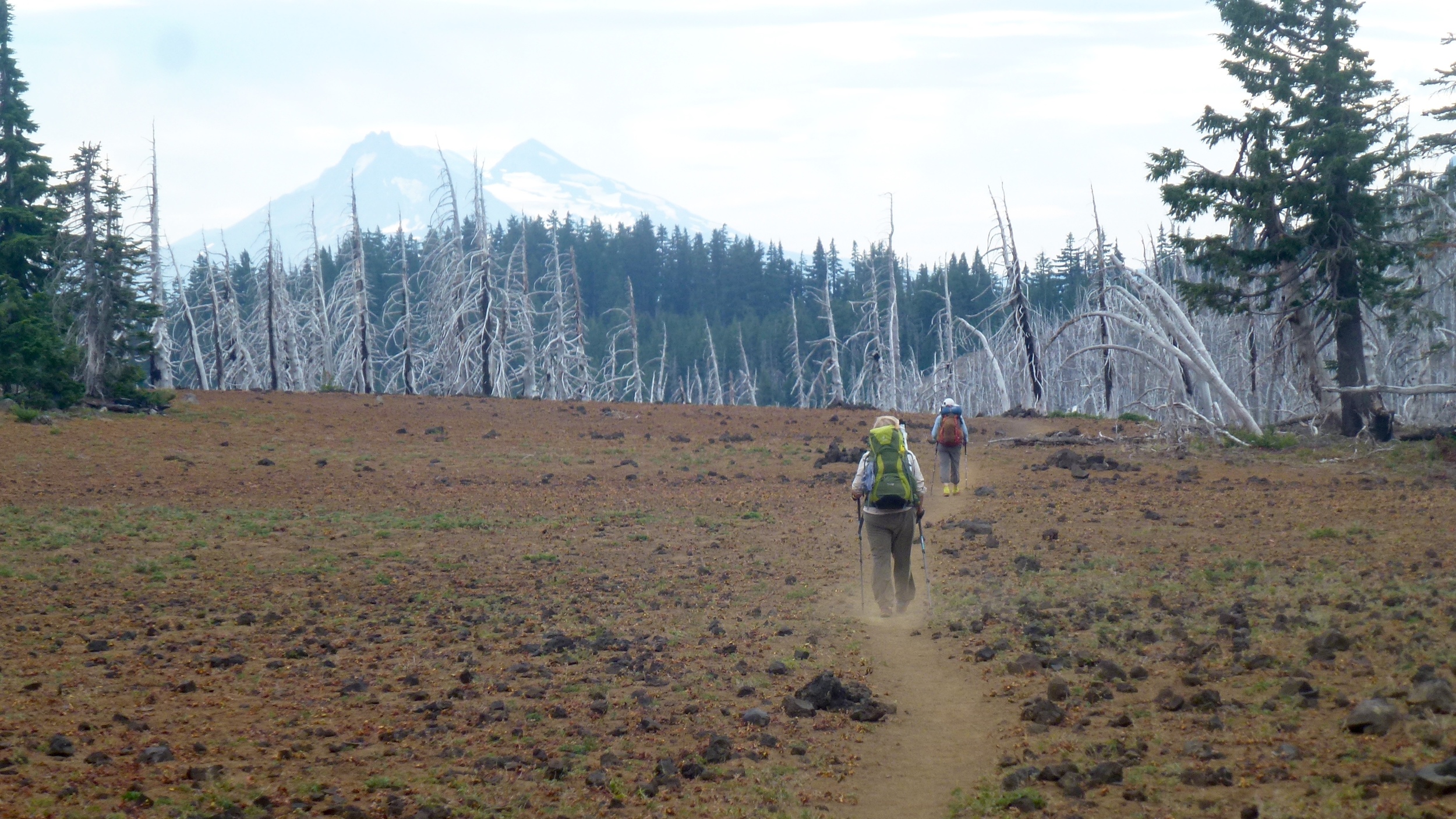
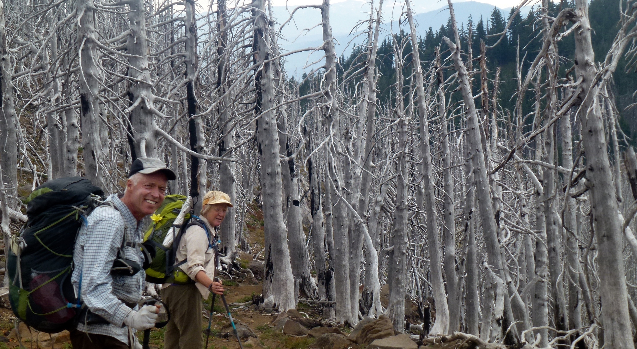
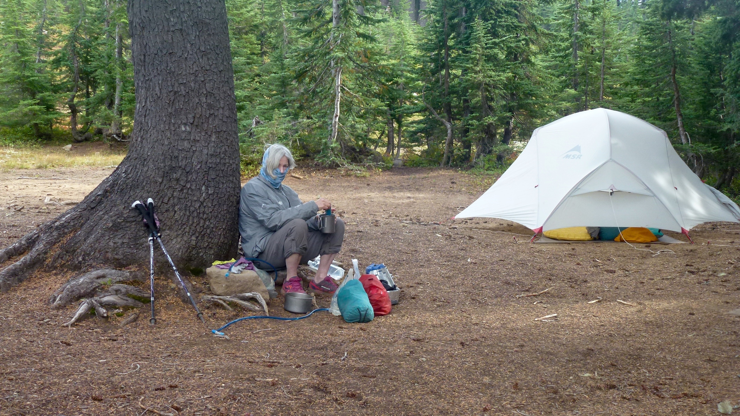
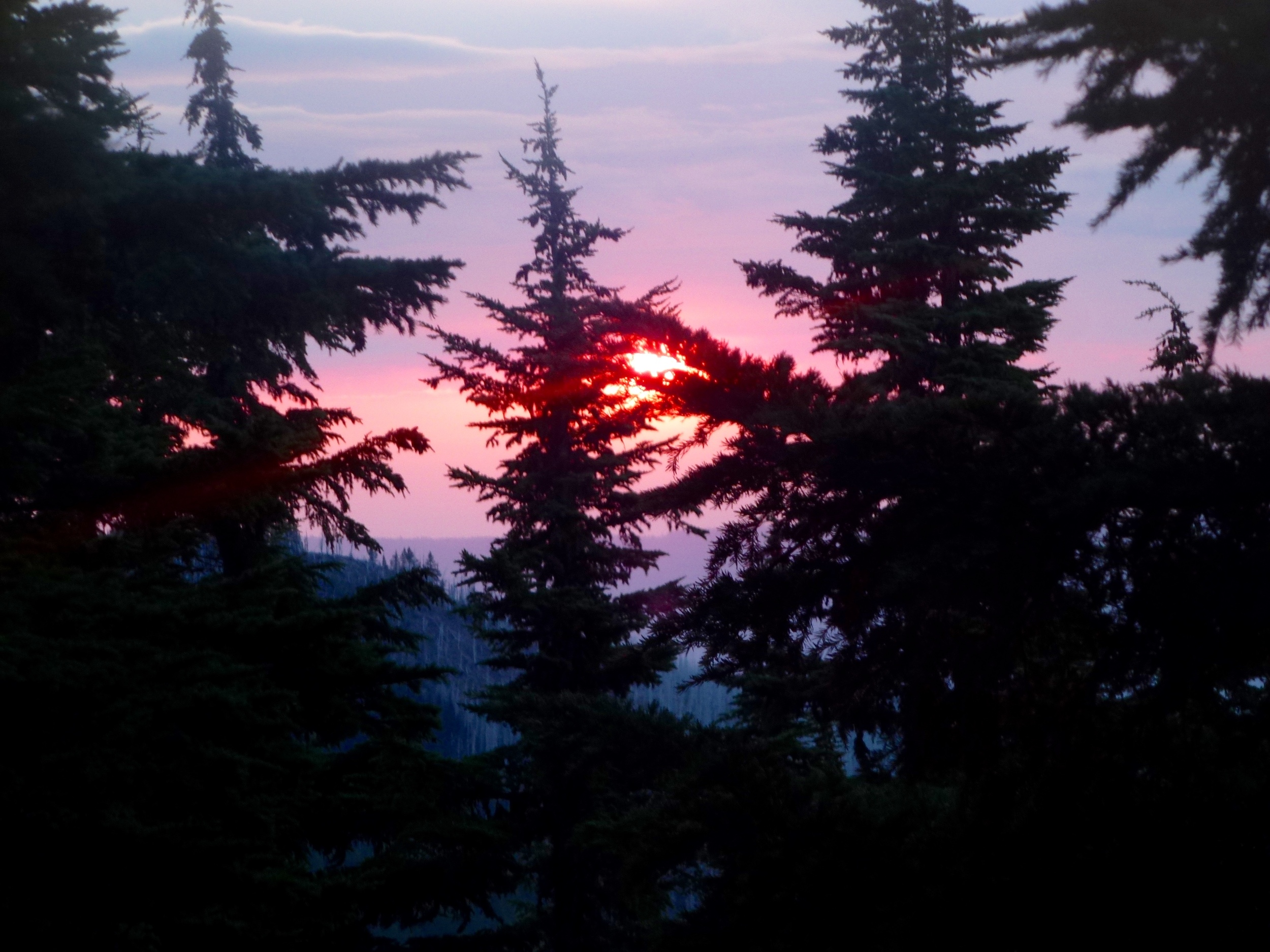
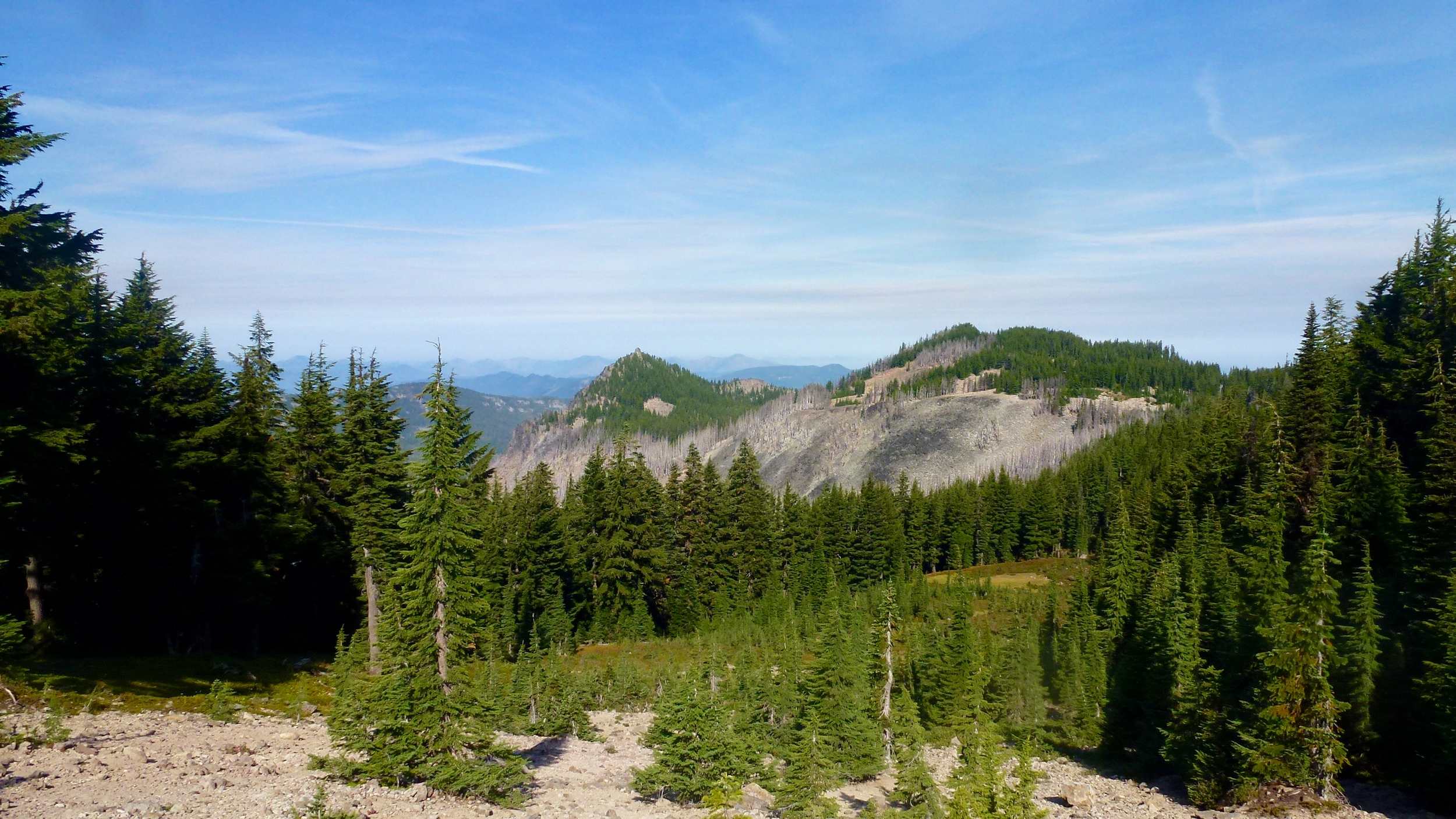
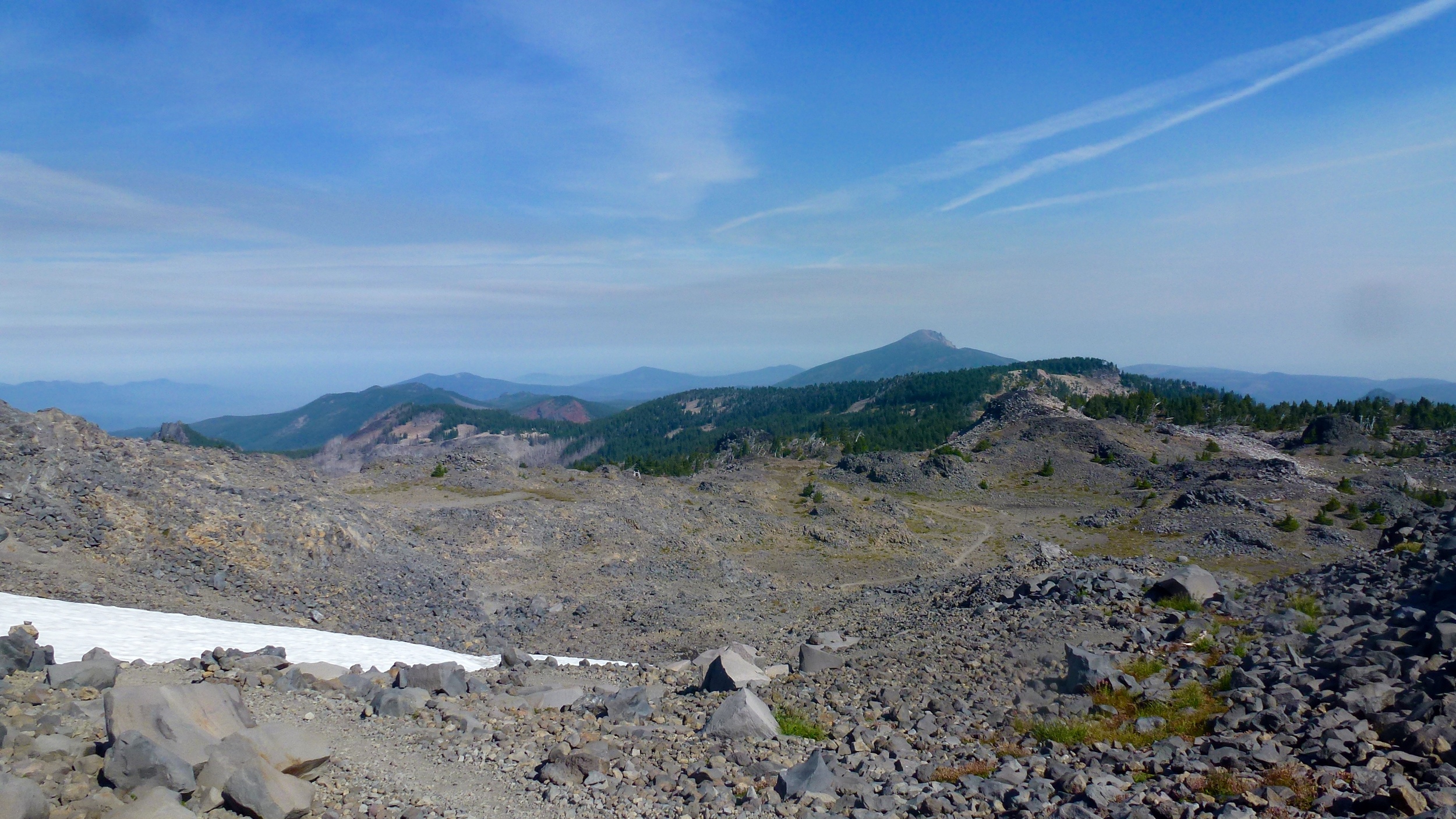
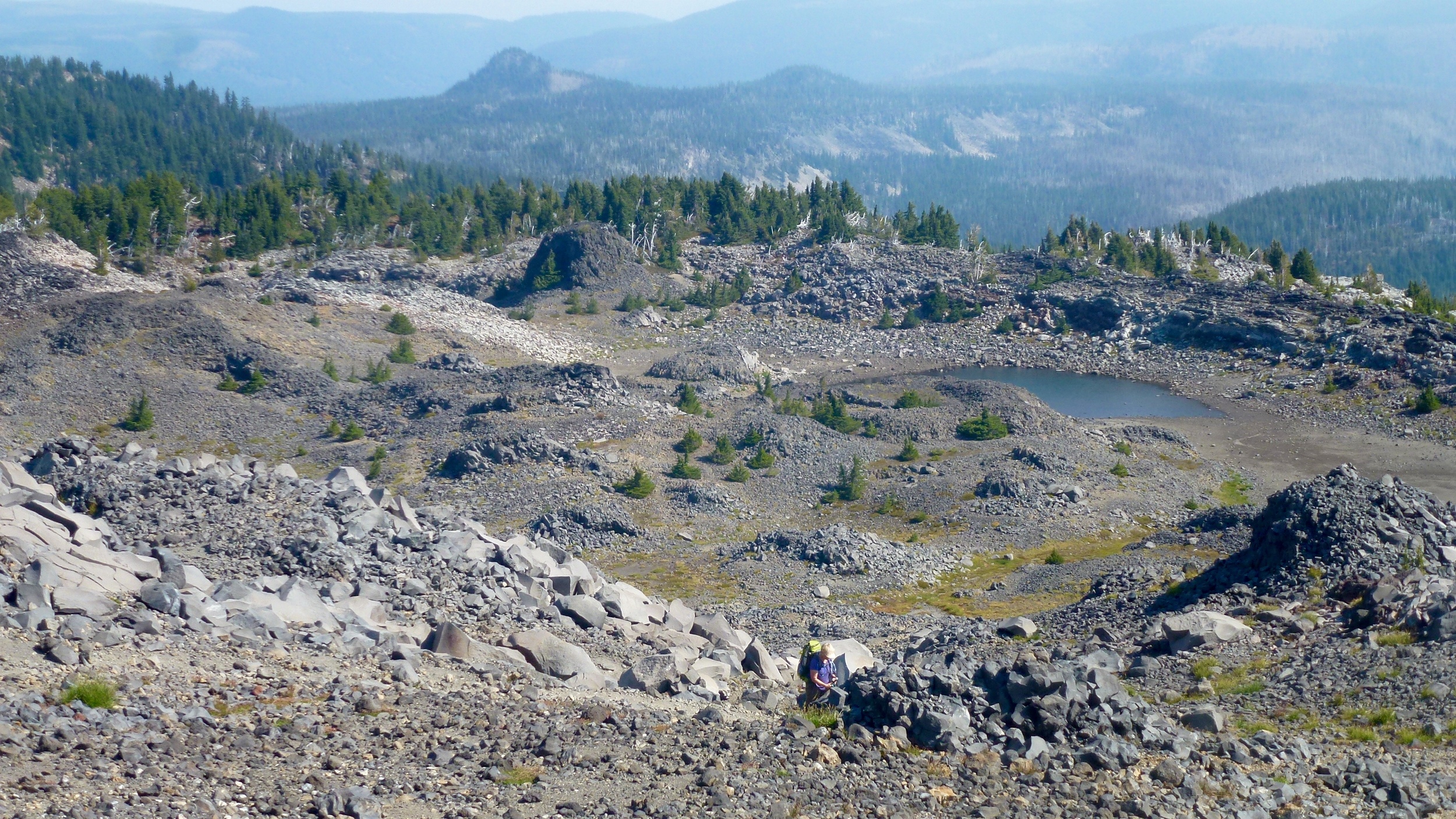
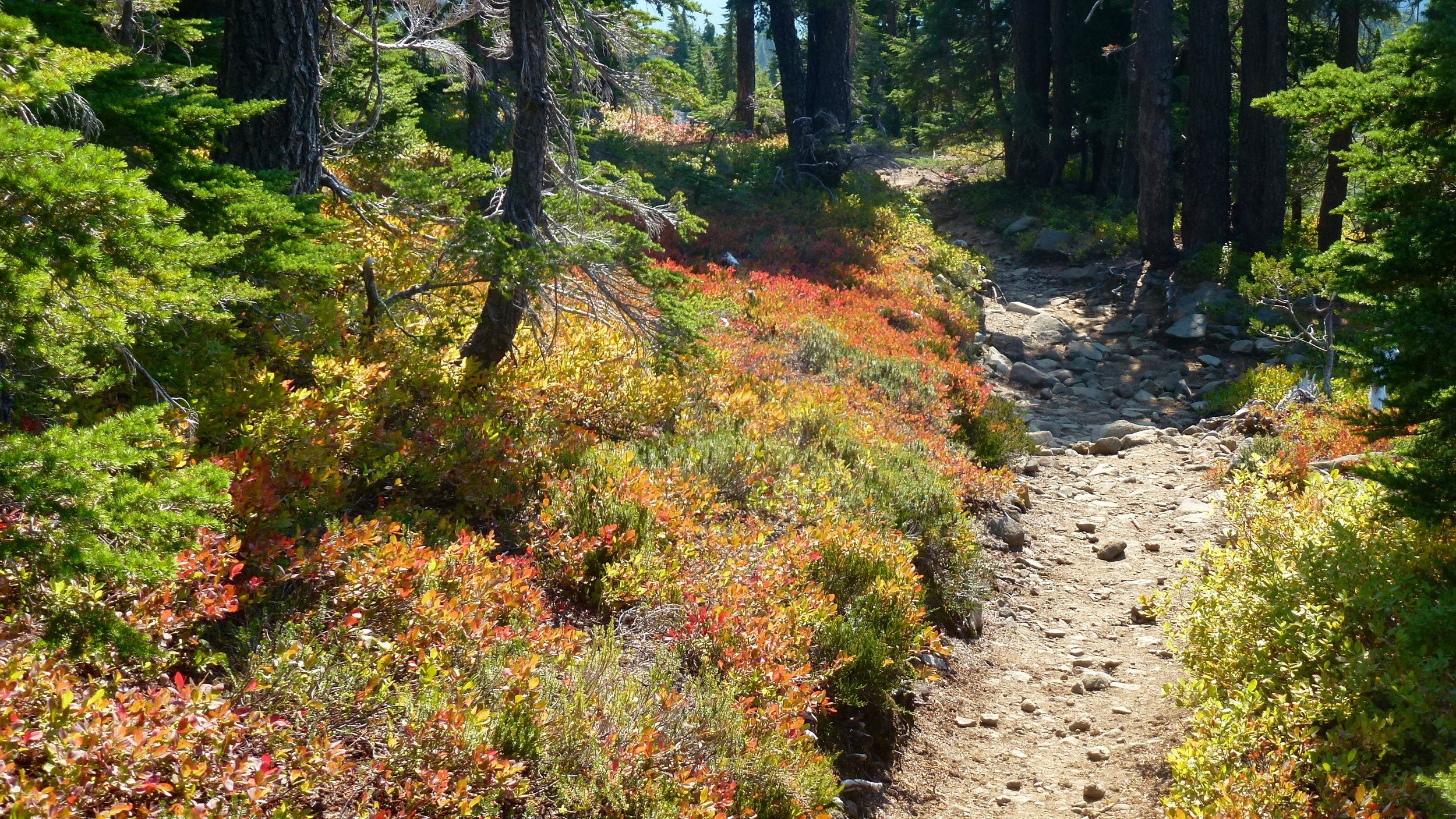
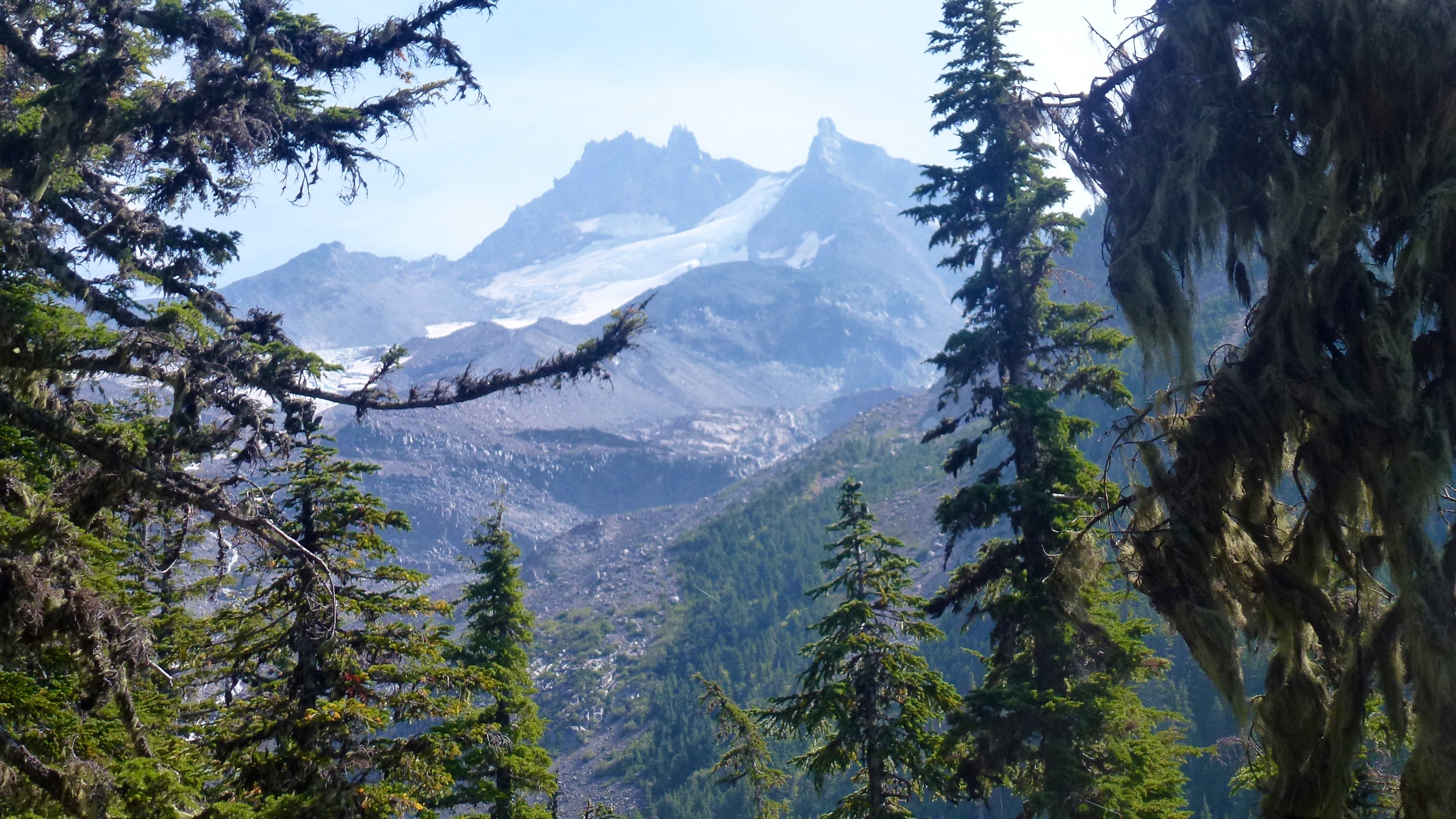
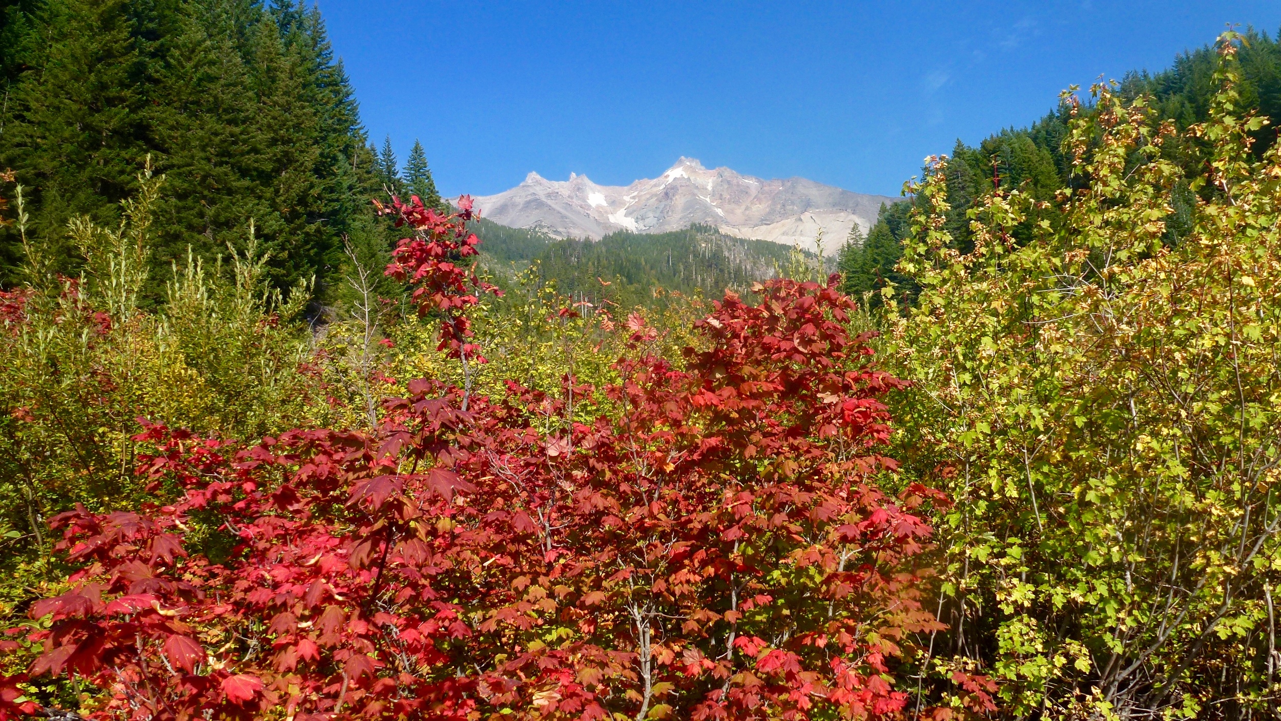
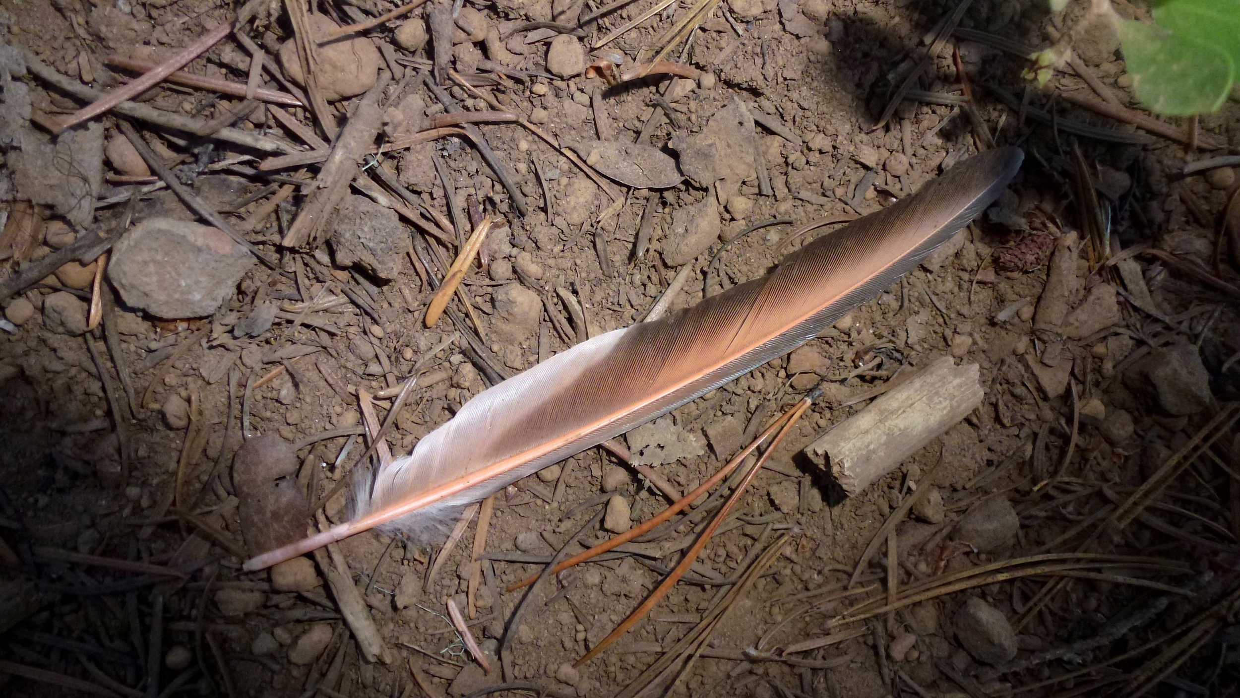
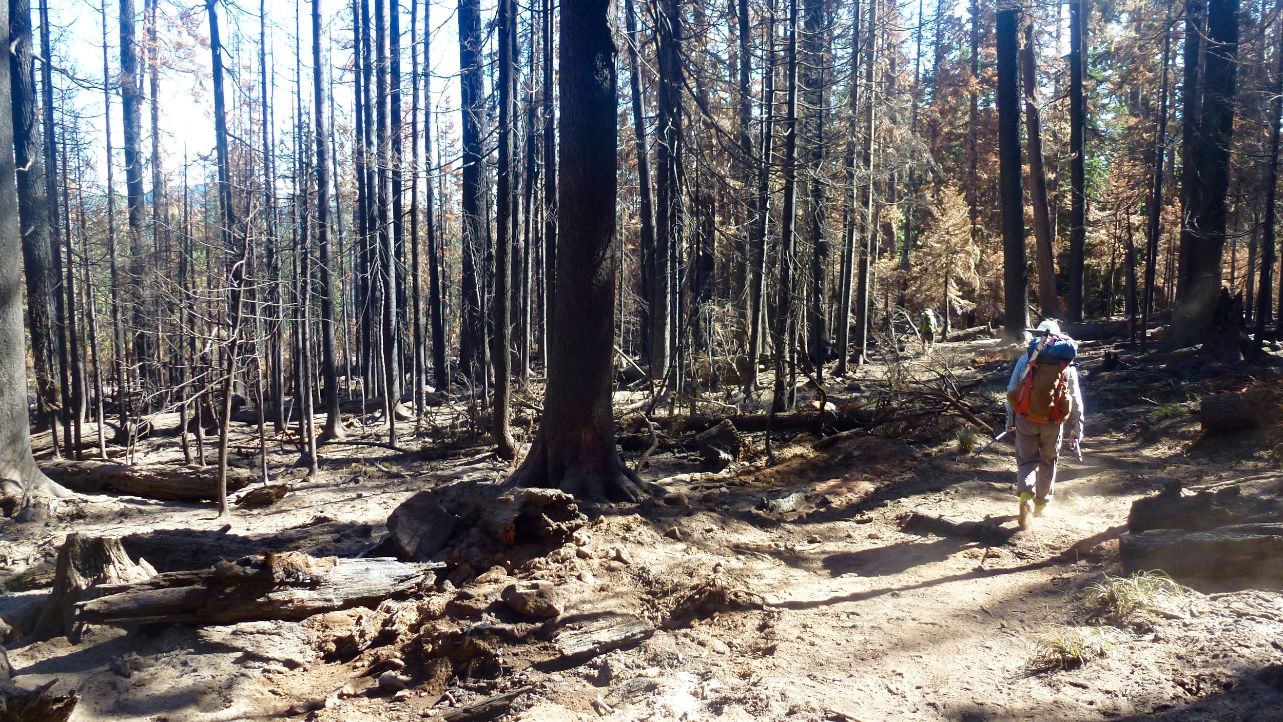
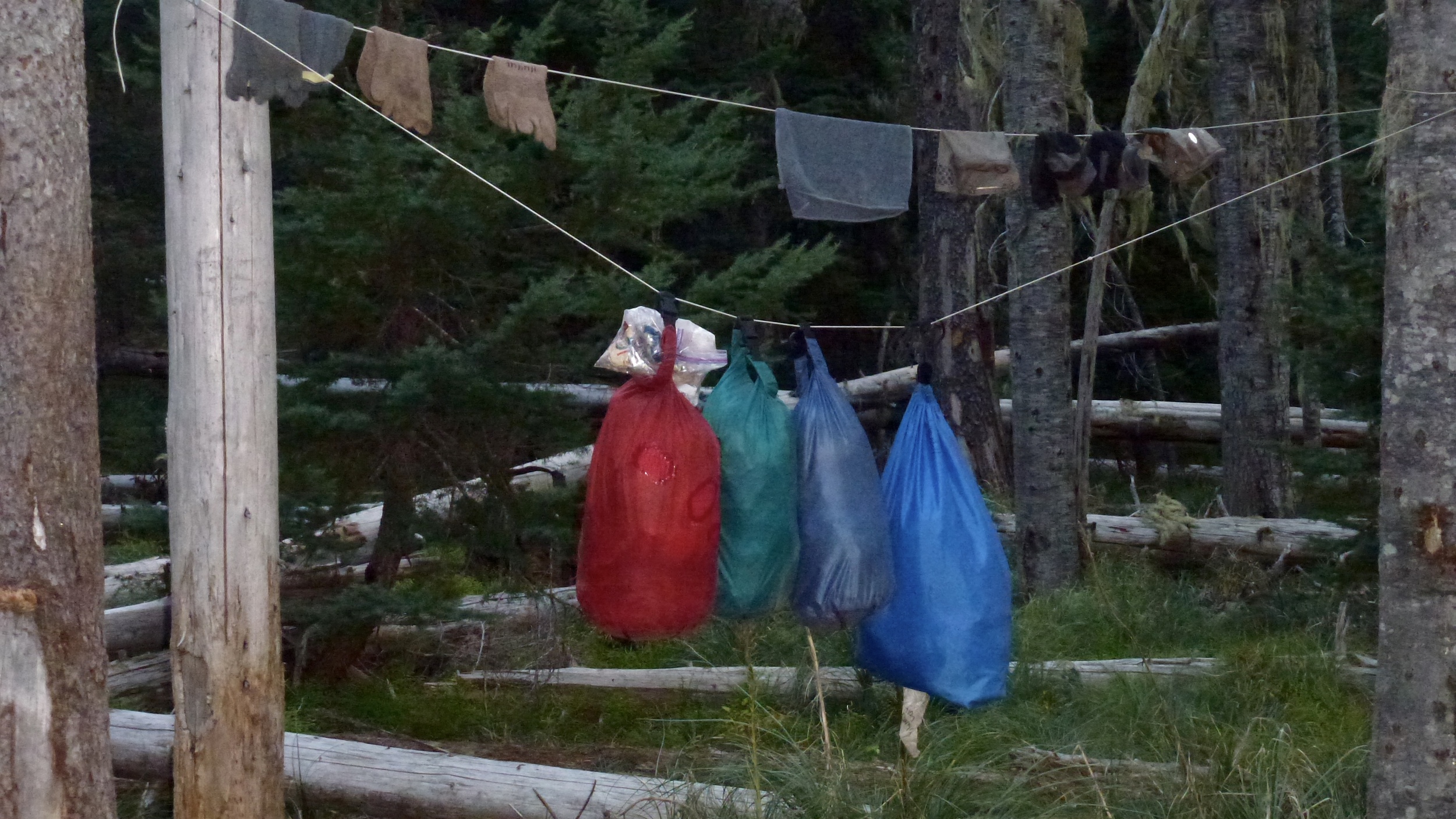
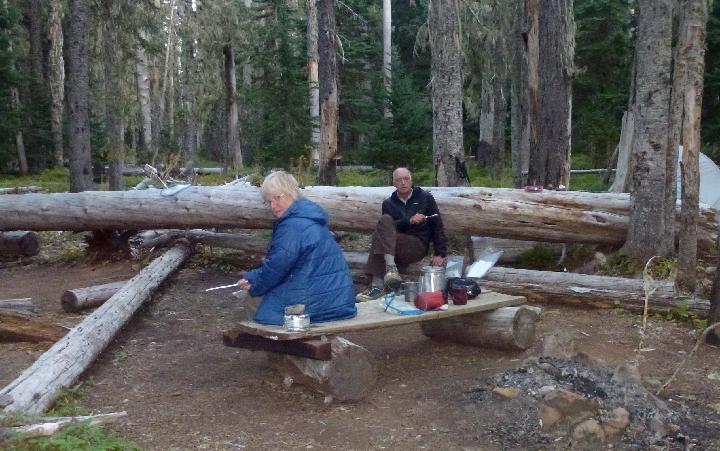
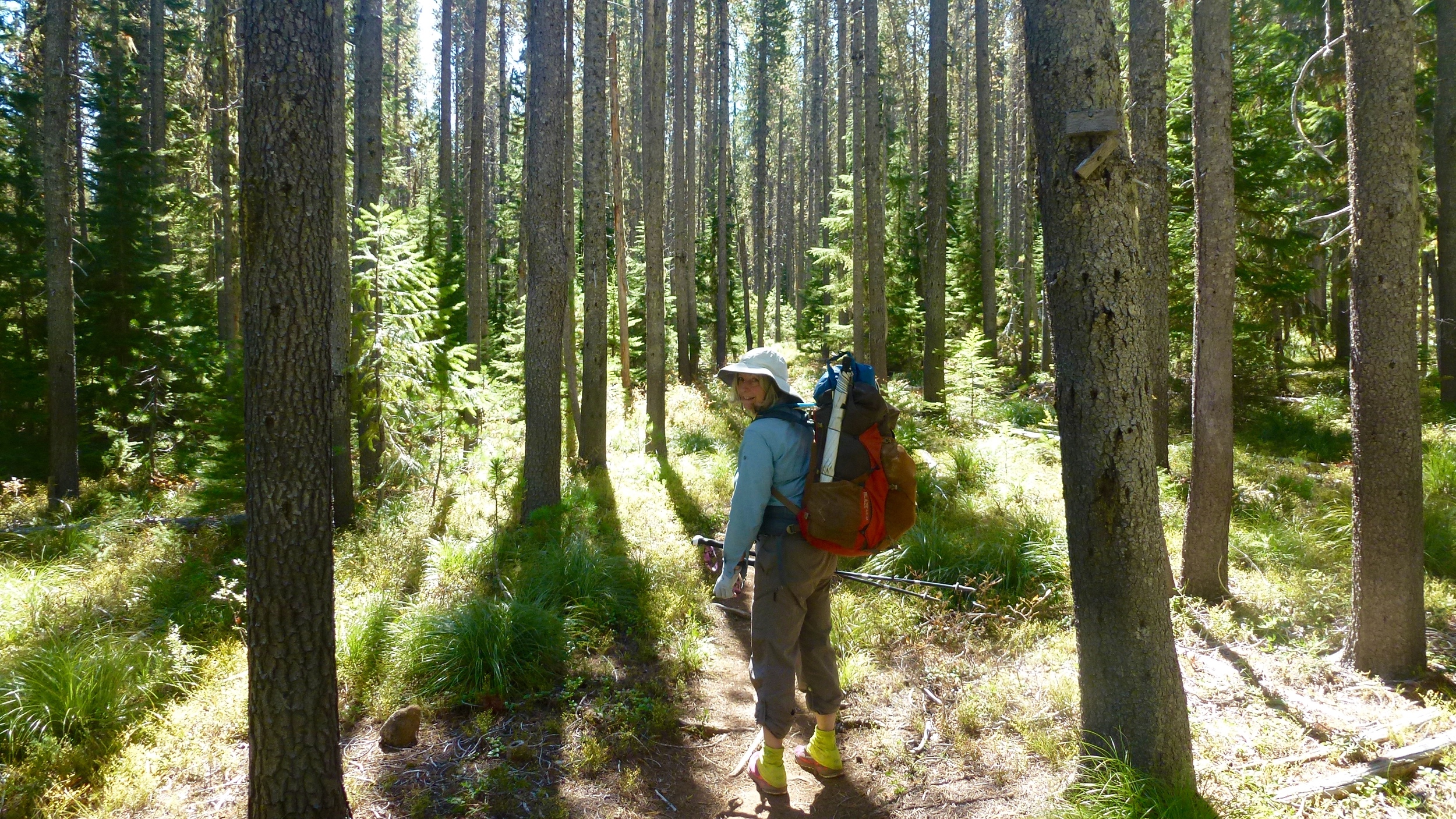
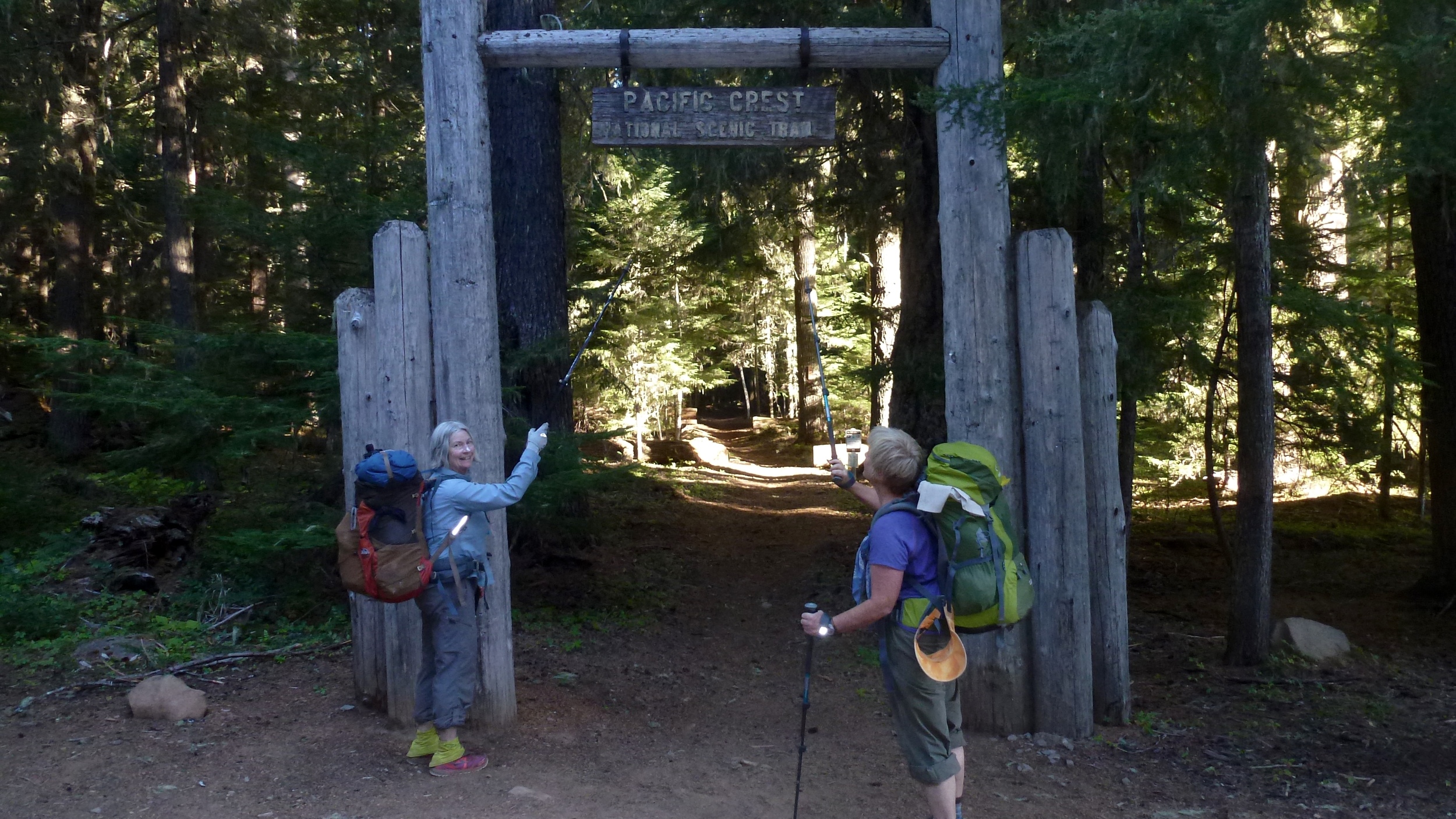
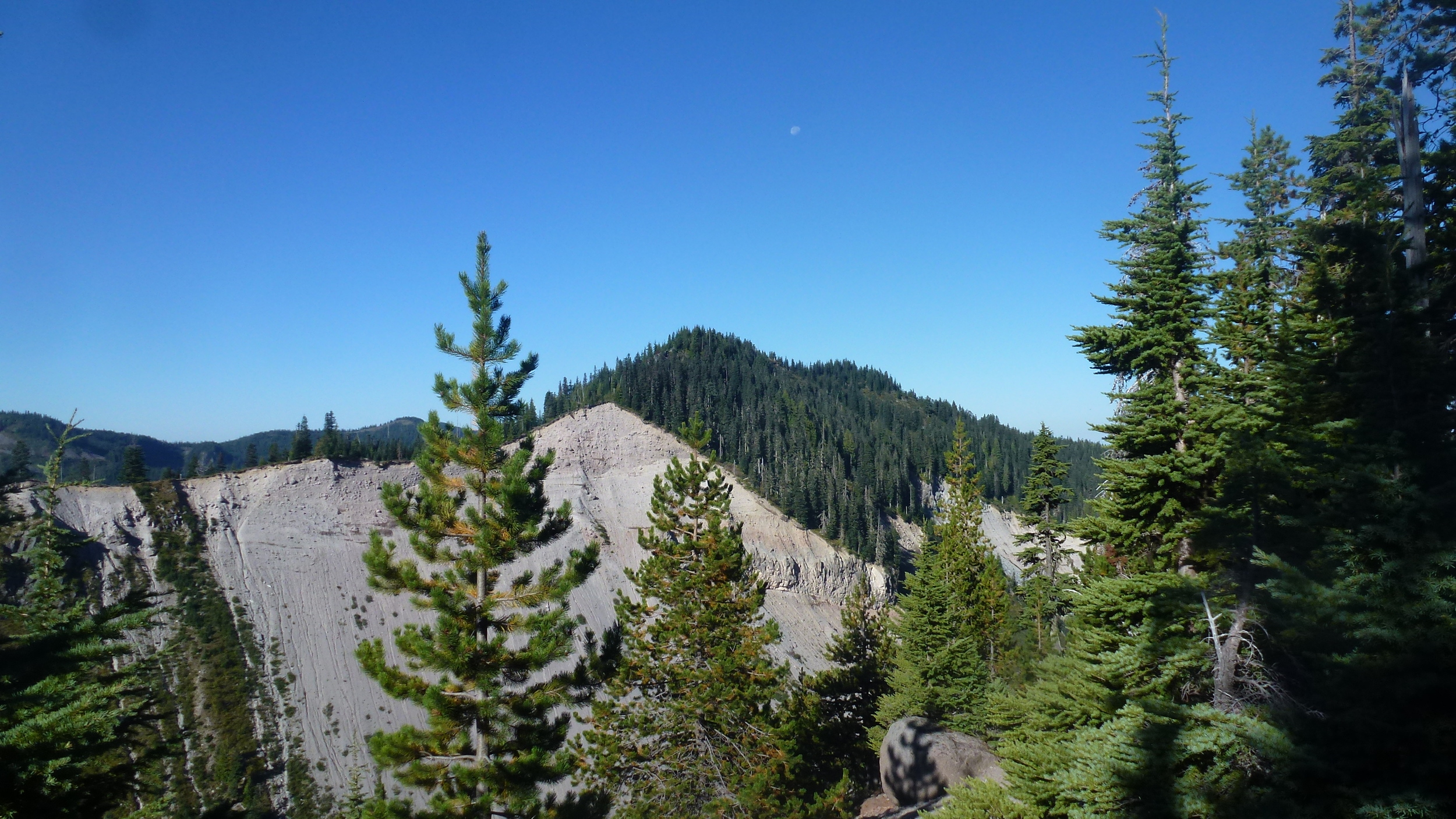
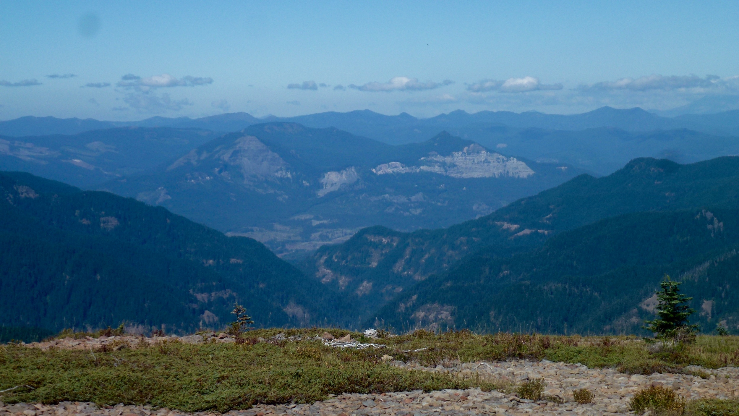
We were up at 5:30, but waited for full light before hiking. Hunters are around and we do not want to be mistaken for any wildlife. Similar to last night, the sun was a large orange orb as it rose in the morning sky. As we moved away from the lake Three Finger Jack came into view. A subdued light brought out the many layered colors. We all agreed that some of the colors reminded us of red velvet cake. By the time we reached the highest point of today’s trail the temperature dropped and clouds started covering the mountain.  As we started our descent the entire mountain was covered. A light rain is being blown horizontally by the wind. It is more like a mist so rain gear is not needed.  Don had the best wildlife sighting today when a curious weasel took the opportunity to check him out. We were at Santiam Pass by mid afternoon. Tomorrow morning, Bruce, Wendy’s brother is bringing us our resupply. The trailhead has no water, but trail angels have left several gallons of water there for hikers to use.  We take some and will replace it when Bruce brings water tomorrow. It looks like it might rain, so after searching for a spot we find one where horses have been tied, there is room for both our tents. Here comes the rain, a downpour in fact. Glad we are set up. We cook under the vestibules of the tents and then make a plan for the next several days.

Mileage hiked 15 miles -Santiam Pass

Sept.17, 2014

We were on the trail as soon as we could see without headlamps. The next stretch is thru the forests which makes for a darker trail. Donna has taken the trail name of Peter Pan. She has given Don the name of Tinkerbell, but do not think that is going to stick as he has the right of refusal. Wendy is liking the name of two bandanas.  She has been carrying two different ones tied to her pack. Shale lake was our breakfast destination. It came with an abundance of low bush blueberries.  There have been lots of deer sightings along the trail.  We have also seen marmots and pikas.  We meet “two Brothers” whom I had read about in a blog that they had written before we started. They had been rerouted in southern Oregon. We also met 65 year old “Mad Hatter”  He has been doing short sections of the trail over the last 5 years. He has a goal of completing the entire trail by next year. We are entering into an area of large burned forests. The newly burned areas are black and white in color while the older ones have colors of green as new trees and bushes bring back some life. All trails thru these burned areas have a dirty, sandy ash texture.Our socks need to be washed daily. No need to push hard today as our pace is regulated by our upcoming resupply day after next. A shallow lake called Rock Pile is our destination. The sun setting behind camp has a hue of reds and yellow. The color is a result of all the smoke and ash in the air.

Mileage hiked 15 miles - Rockpile

Sept. 16, 2014

We were up at 5 and had breakfast before we started out.  We met two men at Britenbush Lake who offered Wendy and Don salmon with eggs. Donna enjoyed several pieces of fruit. Don and Wendy had left their packs at the trail junction at the lake. Donna had left hers on so the plan was to meet at the nearby spring. I (Donna) waited there, but alas they did not show in a reasonable amount of time. I did a quick search and realized that they had missed the turn to the spring and were hiking away from it. By this time Wendy also had second thoughts and so Don and Wendy grabbed their water bottles and headed back. We reunited and headed toward the Mt Jefferson area. First we passed through some lava fields before heading into some unique rock formations In the higher elevations. The flowers were past their peak but as we dropped down into the lower elevations the flowers were quite plentiful and in many shades of color. We arrived at Milk Creek about 4:30.  All the creeks are quite low and we have been able to avoid getting our feet wet during all of the crossings. Tonight's campsite is made up of numerous sites usually each having a fire ring. We can envision this spot being filled with thru hikers during August.

Mileage hiked 15 miles -Milk Creek

Sept. 15, 2014

The stars and moon made the evening sky bright. The night was also alive with the sound of bugling elk. Donna spooked a large elk on the trail. We stopped to have lunch at Ollie Lake where we were able to fill our water containers. Before the trip started we had planned our resupply locations. They are all being brought to us except for one. Therefore we pace ourselves to not have a long wait at any trail head.  With this in mind we plan to stop at Upper Lake. We arrive here mid afternoon and take advantage of the sun to take baths and wash our dirty clothes. The rest of the afternoon is spent reading and relaxing. At dusk we are visited by a flock of Juncos that take baths along the shore edge. Tomorrow we should start seeing Mt. Jefferson.

Mileage Hiked 13 Miles- Upper Lake 

Sept. 14, 2014

After breakfast, we headed down the trail and started smelling smoke. Sections of the PCT have been closed and then reopened in Oregon due to fires this summer. We hope that our progress will not be stopped. It is a gentle trail that leads us to the South. We meet Gandolf who is finishing up his hike. He started last year in CA, but had to stop when he developed a stress fracture. He had to reroute around several sections that have been closed in southern Oregon. It was good news when he told us that the smoke we are smelling is coming from a fire that has been mostly put out and the trail is open. Other hikers that we meet during the day tell us of having seen fire erupt from lightning strikes. Oregon is in a severe drought. As we approached the fire area, some of the larger trees are still smoldering. Fire fighting supplies and roads that have been made as a firebreak are indications of the intensity of the fire. Soon though we are walking in a green landscape and notice the blueberry bushes that are quite full. It does not take us long to fill one of our pots. Camping tonight is at Lamar Meadows next to a running stream. Desert is chocolate pudding smothered in berries.

Mileage hiked 19 miles - Lemar Meadows

Sept. 13. 2014

The stars were all in full splendor last night; there are advantages to cowboy camping. Breaking down camp is also quite simple. Had breakfast and were on the trail by 6:15. Had an early morning encounter with a hiker who was on a fast pace. He was trying to make it to the well known brunch at Timberline lodge. The brunch is a highpoint of eating places for the Northbound hikers. We made it to the trail head a little ahead of Molly. When she arrived she not only brought us our boxes but also a variety of fruit and pastries. Wendy’s son suggested that she bring a 6 pack as well. None of us wanted a beer this early in the morning, but a British thru hiker stopped and was glad to accept one. Molly is a 5 star trail angel. Shortly after 11, we were once again on our way. Hiking towards us were an older sister and brother who were doing Oregon as a section hike. They were accompanied by Thumbs Up who was doing the entire hike. Thumbs Up asked us our names. Wendy was first and said her name. Thumbs up immediately said to Donna, you must be Peter Pan. And so that is how I came by my trail name. When someone names you, it is not a given that you will keep that name. I thought that I would give it a go for awhile, but in a dream that I had tonight I was flying. Alright then, my name is Peter Pan.  Stopping at Timothy Lake for a swim was quite refreshing. We were joined by several other folks when they saw what fun we were having. Tonight we plan on camping at the Clackamas campground.  We arrived there by 6:30. This was the weekend and most of the sites were full. Our neighbors partied most of the night, so morning brought relief that we could be on our way back into quiet.The campground host did not charge for the night because we were hikers.

Mileage hiked15 miles-Clackamas campground

Sept. 12, 2014

Our camp’s name is called Scout camp. We crossed Sandy River today, most people will camp here in order to check out the river before crossing it. During its flooding season it can be quite dangerous and people have lost their lives trying to cross it. That is not the case today as the river is running quite low. We have also been told about a log crossing that we found last night before going to bed. It is quite doable and we are able to cross the river without getting our feet wet.  After the crossing the trail heads up towards Mt. Hood. We walk thru numerous blueberry bushes, enjoying the sweet taste. The birds are numerous in this area as well, eating the berries of the Mountain Ash trees. We take a break at a high meadow and soak our feet again. Before too long we see Timberline Lodge and Wendy seeks out coffee for Don and herself. Alas none is to be had. Wendy makes a call to Molly confirming our resupply date and to have her bring in a different tent. We are off again within the hour and head down a very sandy volcanic ash trail to Barlow Pass.  Arriving at the highway, we once again miss the trail sign and walk in the wrong direction. When we realize our mistake, it is time to turn around and retrace our steps. Once back on track we are glad to be on a flat trail and able to move efficiently. We hiked into the night and when it came time to camp, the choices were few. The result was cowboy camping (no tent) next to the trail. We figured due to the late hour that all hikers would be at their destination, but that was not the case. About an hour after we had been in our sleeping bags, we hear and then see a headlight coming down the trail. It is a weekender hiker trying to get to a nearby lake. He appreciates that we are here and can tell him the location of the trail. Tomorrow we plan to meet Molly.

Mileage hiked 16 miles-near trail junction of Twin Lakes

Sept. 11, 2014

After getting into our cozy sleeping bags last night the wind picked up. The noise of the wind in the trees makes for mixed sleeping results so we were all glad when morning came and it was time to get up. After just eating a bar before hiking yesterday, we opted for a warm breakfast this morning. Donna took off first, as her hiking pace is a little faster. Don and Wendy passed a camp that had a log burning next to their tent. They awoke the hikers and alerted them to the danger. Signs are every where about the fire ban. With the forest floor being so dry, one can easily see how quickly fires spread. Several thru hikers passed us today. Most are moving rather quickly, focusing on making it to Canada before the snow falls. A stop at Ramona Falls gave us an opportunity to soak our feet and take in the beauty of the cascading falls. Don and I had camped near here last year and looked forward to being done hiking for the day. Unfortunately we missed a turn in the trail and ended up walking an extra mile downhill, before realizing our mistake. There was a sign, but only obvious if you were coming the other direction. Lesson learned is to stop and check the map when things don’t seem right. A well used campsite was our home for the night. It came with an abundance of used toilet paper. Beginning to think that at sites like this there should be some sort of pit toilet. The wind has calmed and we are looking forward to a good nights sleep.

Mileage hiked 15 miles- near Ramona Falls

Sept. 10, 2014

Up at 6:30 and on the trail by 7:15. We just ate a protein bar to start the day. Most of the PCT is horse grade, but hikers can take alternative routes which are usually shorter and steeper. We chose such a trail to take us to Indian Springs. It was indeed steep! At the top of the trail was a small picnic area that had water coming out of a pipe. We stopped for breakfast and filled up our water containers. We all feel the effects of early hiking on our bodies.  We are excited to find blueberries in their prime. We also have tried Oregon Grapes, but doubt if we will be eating many of them. After leaving the springs we were blessed with panoramic views of the surrounding mountains. No speed walking for us just a constant pace. It has been interesting to read the names of the various landmarks. Today we checked out the Preachers Saddle followed by the Devil’s Saddle. Our camp tonight is at Salvation Creek.  When we arrive there, several thru hikers are camped sitting around a campfire. All fires are banned due to the drought, so we were glad that before they went to bed it was put out well.

Mileage hiked 17 miles - Salvation Creek

Sept. 9, 2014

After months of thinking and lot of gear and food prep, we are starting the hike today. It was hard to sleep last night as all the details kept me focused on the are we really ready? Up at 6, ate our favorite cold cereal with apples, fresh blackberries, bananas and yogurt. We picked up nephew James at 7 and drove to Molly’s house, Wendy’s daughter. Molly is doing our first resupply so we dropped our food boxes off and Wendy joined us for the drive to the Bridge of the Gods. Since we were doing a highly recommended alternative trail starting at Eagle Creek, James took our packs to meet us at the trailhead while we walked across the bridge and the 3 miles to Eagle Creek. Good and easy warm up to get our legs in gear. We said goodbye to James and headed up the trail. We hiked next to Eagle Creek which was running quite low. Several day hikers and north bound thru hikers passed us. This part of the trail is quite scenic with numerous water falls. The most famous one being Tunnel Falls which is the destination for most day hikers.The CCC carved out a trail along the mountain side as well as a tunnel that goes behind the falls. About a mile past the falls we found our first campsite next to the creek. We are all thankful for being on the trail. The John Muir saying of, “Climb the mountains and let the cares fall away like leaves falling from a tree” come to mind before falling asleep.

Mileage hiked 9 miles - 1 mile past tunnel falls

Pacific Crest Trail Introduction Sept 8 2014


Intro:  The Pacific Crest Trail winds for 2,650 miles thru the states of California, Oregon and Washington. The trails lowest point is 140 Ft. above sea level at Columbia River Gorge between Oregon and Washington. The highest is 13,200 feet at Forester Pass in California’s Sierra Nevada.  The trail crosses national monuments, national parks, national forests, BLM, federally designated wilderness state and county parks and tribal land. Some folks called thru hikers start on either the South or northern border of the US and hike the entire trail. Others are known as section hikers and either divide the trail up by states or even shorter sections.

Hiking the PCT was never a high priority for us until we had the freedom of time. In our travels we had either crossed the trail or had done small day hikes on it. Finally using the NIKE motto we decided let’s just do it. We also wanted to include some kayaking activities during the summer months. That left us deciding to become section hikers. Oregon, with a reputation of being somewhat flat??, seemed to be a good starting point.

Going light was a priority for us. We looked at each piece of gear to determine its weigh and necessity. We experimented using an alcohol stove and drying our meals.  A 'check it out' hike in Alaska convinced us that we were on the right path.

So in Sept. of 2014, we took the first step into the journey of being section hikers on the PCT. Our friend Wendy Anderson joined us for most of our travels through Oregon.